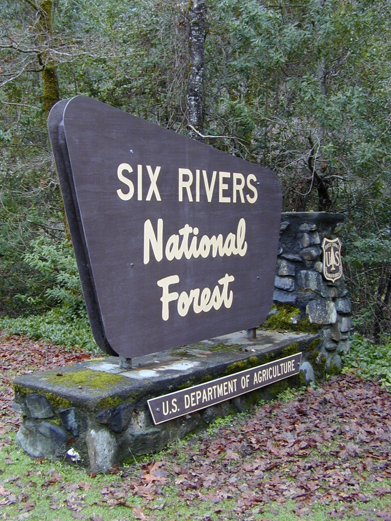
Six Rivers Ranger Stations:
Forest Headquarters
1330 Bayshore Way
Eureka CA 95501
707-442-1721
|
Lower Trinity District
Highway 96
Willow Creek CA
530-629-2118
|
Mad River District
Highway 36
Bridgeville CA
707-574-6233
|
Orleans District
Highway 96
Orleans CA
530-627-3291
|
6 Rivers NF
gov web site
|
Smith River National Recreation Area
Highway 199
Gasquet CA 95543
707-457-3131
Humboldt Nursery USDA
4886 Cottage Grove Rd
McKinnleyville, CA 95519
707-839-3256
6 Rivers Backpacking
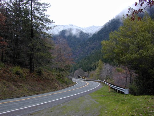
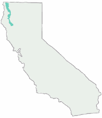
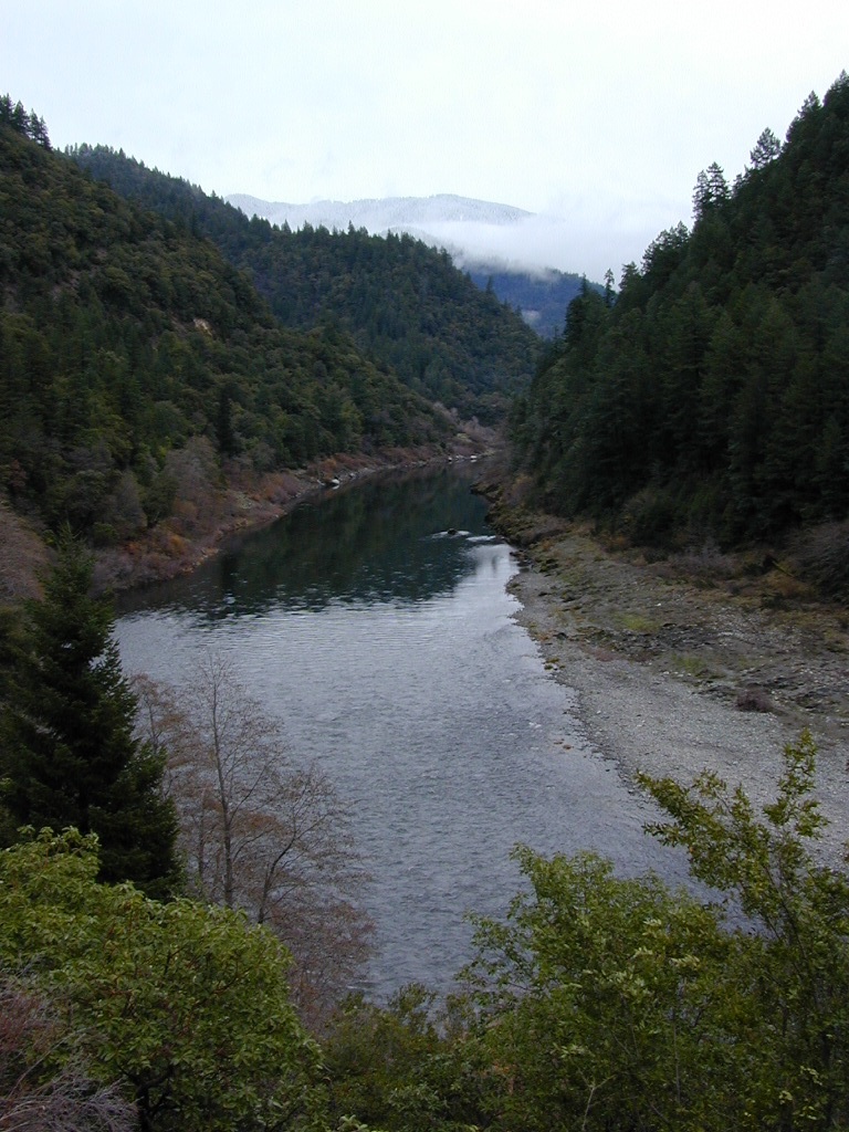
Smith River and a few others rivers entertwine on this NorCal landscape of mountains, forests and sky. Six Rivers National Forest, Siskiyou Wilderness, Redwood National Park, and numerous other State Parks, all call Crescent City coastline home. Plenty hiking and backpacking trails to be discovered.
Trailheads located at:
- Elk Camp Ridge (North Fork)
- Little Bald Hills (Jedediah Smith Redwoods)
- South Kelsey (Siskiyou Wilderness)
- East Fork Blue Creek
- Summit Valley
- Boundary Trail
- Doe Flat (Siskiyou Wilderness)
- Elk Valley (Siskiyou Wilderness)
- Salmon Summit
Six Rivers NF Backroads
This entire region is steep rugged terrain of canyon &
redwood forest. Some old logging roads have been closed to protect
certain areas, but thousands remain open for backroad travels, dispersed camping for hunters, fishermen or those who stay away from developed campgrounds.
4 Wheel drive vehicle might be needed
on some back roads. Proper signage is not alway guranteed. River & steam, so bring a good map. Mud is likely in Spring time. Be warned: this is a very wet and rainy area.
Historic Mines & Logger's camps are around every corner.
Tons of great fishing, secluded backwoods camps & maybe even
a glimpse at the legendary myth creature feared by all.. Big Foot!
regional maps:
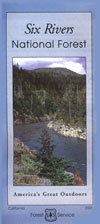
Six Rivers National Forest Map
Klamath National Forest
Marble Mountain Wilderness
Red Buttes Wilderness
Russian Wilderness
Siskiyou Wilderness Map
Trinity Alps Map
Forest Service Cabins & Fire Lookouts
Bear Basin Butte Cabin Rental
Campgrounds in Six Rivers National Forest
Some of these sites are amoung the smallest & most remote
in the area. The campgrounds located closest to highways usually
fill up fast & can attract all types of campers. For the seclusion,
head a few miles off the main roads & enjoy the silence.
| campground
|
elev. |
spots
|
veg |
toilet |
water |
|
| Aikens Creek |
340' |
disp. |
- |
yes |
piped |
year round
|
| Bailey Canyon |
- |
25 |
- |
yes |
piped |
Ruth Lake; May-Nov |
| Boise Creek |
700' |
17 |
- |
yes |
piped |
Willow Creek, year round
|
| Dillon Creek |
1780' |
21 |
- |
yes |
piped |
May-Nov |
| East Fork |
- |
9 |
- |
yes |
- |
May-Nov |
| E-Ne-Nuck |
400' |
11 |
- |
yes |
piped |
June-Nov |
| Fish Lake |
1800' |
24 |
- |
yes |
piped |
May -
Sep
|
| Grassy
Flat
|
500' |
19 |
- |
yes |
creek |
Smith River NRA
|
| Horse Linto |
- |
3 |
- |
yes |
- |
year
round
|
| Nordheimer |
900' |
8 |
- |
yes |
piped |
year
round
|
| Panther Flat
|
500' |
40 |
- |
yes |
piped |
May-Sep,
|
| Patrick Creek
|
800' |
13 |
- |
yes |
piped |
May-Sep,
|
| Pearch Creek |
400' |
10 |
- |
yes |
piped |
May-Nov |

Primitive
Camping 6 Rivers NF
Many dirt roads lead to remote forest and dispersed camping for real seclusion seekers. Know your vehciles capability (in advance) and avoid muddy routes. Campers, kayakers, hunters, fishermen or those who wish to camp away from developed campgrounds may choose to camp away from the highway and on the backroads. 4x4 may be needed on some roads & signage is not alway guranteed. River & creeks are abundant. Obtain a camp fire permit at the local Rangers station & follow any fire restrictions in effect.
Six Rivers Hiking
Trailheads located at:
- Elk Camp Ridge (North Fork)
- Little Bald Hills (Jedediah Smith Redwoods)
- South Kelsey (Siskiyou Wilderness)
- East Fork Blue Creek
- Summit Valley
- Boundary Trail
- Doe Flat (Siskiyou Wilderness)
- Elk Valley (Siskiyou Wilderness)
- Salmon Summit
NorCal Rock Climbing
No clue on Six River rockclimbing. Only found one area in Klamath National Forest >
Forks of the Salmon -
Deacon Lee Trail
View Larger Map