
Eastern Sierra BLM – Alabama Hills
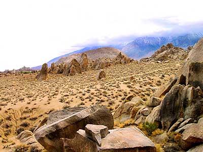

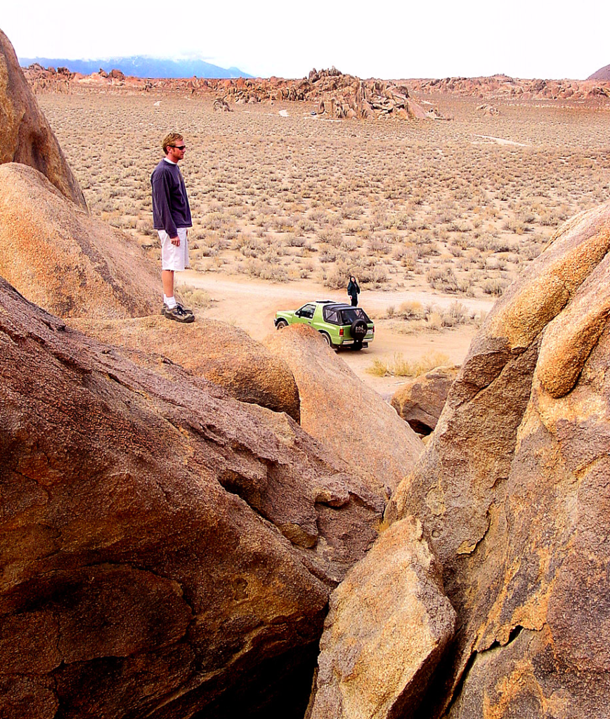
A nice surprise for visitors to Mount Whitney region when they happen upon the Alabama Hills. The cool boulder field lies at the base of the eastern Sierra Nevada mountain range – next to the town of Lone Pine, on the way up to Whitney Portal.
The infamous area features a drive named “Movie Road” – with historical spots for filming old westerns & cowboy movies. Plenty of television commercials & videos have been filmed here as well. Relatively close to Los Angeles and SoCal.
high desert: elevation 5354′
From the Mojave desert, take Hwy.395 North to the small town of Lone Pine . At the only traffic light in town; turn left up Mt Whitney Portal Road; continue up to boulders. MOVIE ROAD, right turn to start exploring. Mant graded dirt roads and areas to park vehicles.
-
hike
-
bike
-
camp
-
horseback
-
natural arches
-
rock climbing
-
stargaze
-
wildflowers

MT WHITNEY MAPS
Inyo National Forest next door offers the highest granite peaks, pinon pines to Ponderosa pines, Sierra lakes, fishing, hiking, horseback trails.
 NO CAMPFIRES (and no open dispersed camping on this BLM land)
Developed Campgrounds nearby:
- Tuttle Creek Campground
- Lone Pine Campground

- Portagee Joe Campground
- Cottonwood Lakes
- Whitney Portal Campground
![]()
- Along the US Highway 395
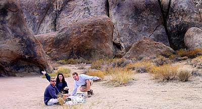
- Perfect Picnic Spots

- Wildflowers in Spring
- Beginner Mountain Biking Trails
- Rock Climbing – Bouldering
- Amazing Photography
Alabama Hills Recreational Area
|
Mt. Whitney Information Center
|
Eastern Sierra links & info
Alabama Hills Stewardship Group
BLM Alabama Hills Info
Eastern Sierra Interagency Visitors Center
Friends of the Inyo
Mt. Whitney Ranger Station USFS