|
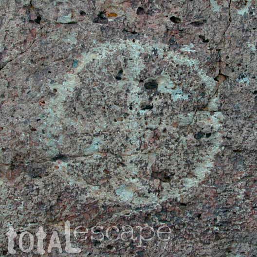
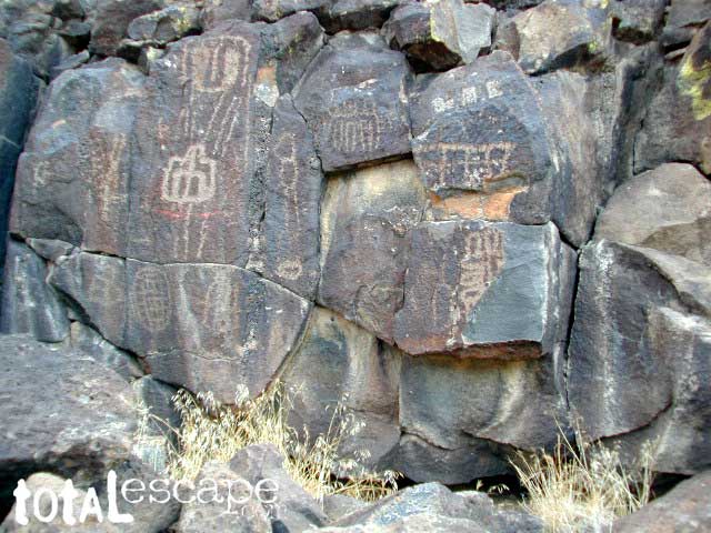
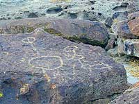 If you are exploring the Eastern Sierra & the upper elevations are unreachable, you can always go visit some indian Petroglyphs. If you are exploring the Eastern Sierra & the upper elevations are unreachable, you can always go visit some indian Petroglyphs.
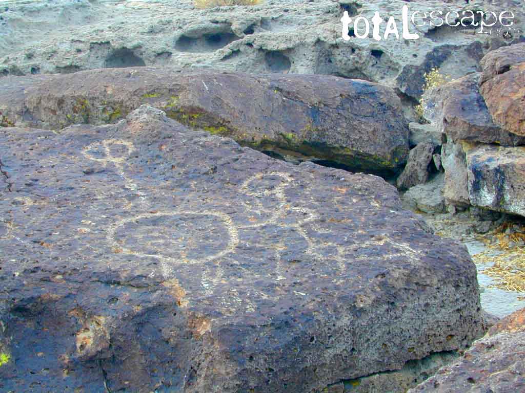
Tucked way up in Fish Slough, NE of Owen River/ Tablelands area, graded dirt roads lead to  multiple indian sights. Inyo National Forest Map, plus another back country road map & GPS are highly advised. multiple indian sights. Inyo National Forest Map, plus another back country road map & GPS are highly advised.
area activities:
|
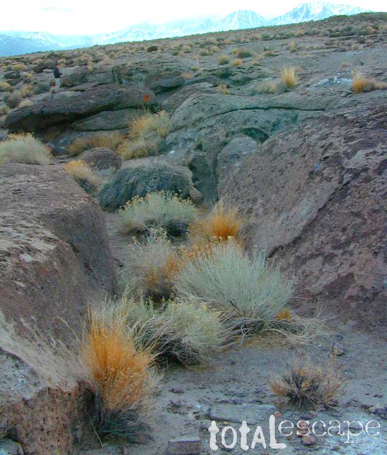
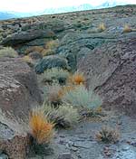 While motorized travel is prohibited in some canyons leading to wilderness areas, hikers can leave the dirt roads to discover more indian Petroglyphs & maybe even find some artifacts. While motorized travel is prohibited in some canyons leading to wilderness areas, hikers can leave the dirt roads to discover more indian Petroglyphs & maybe even find some artifacts.
Hundreds, if not thousands of petroglyphs can be found in the surrounding regions of National Forest & BLM lands. Subtle remains of indian life still remain if you have the patience & know what to look for.
Sad but True: Some petroglyphs may be marred by graffiti & idiots trying to chisel them off. Play it safe & do not remove any arrowheads, baskets, pottery or other artifacts from the lands you visit. Simply report them & their location to the Museum at Independence.
|
|
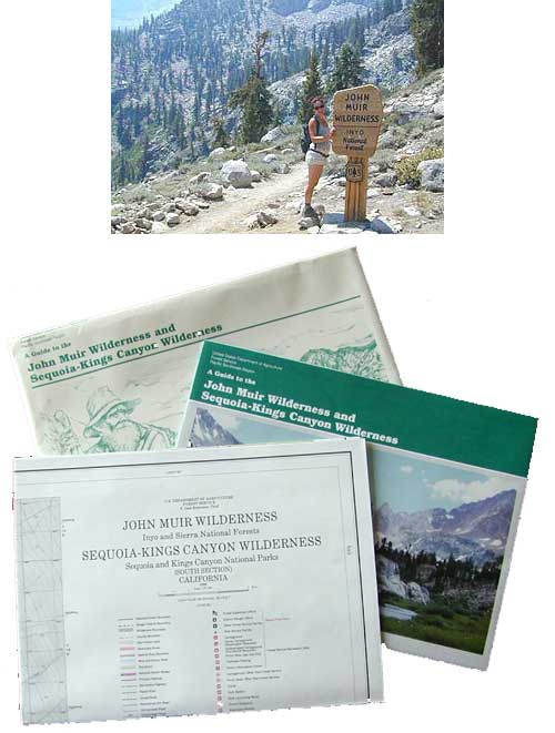
If you plan to backpack & camp overnight in the Wilderness
 Area, contact a BLM ranger for the permits or to find out any possible restrictions. Area, contact a BLM ranger for the permits or to find out any possible restrictions.
View Larger Map
|
Primitive Camping

along Backroads
A back road map
of the is very helpful when exploring this land. Open dispersed
camping is allowed on these dirt roads. The only campground nearby
with facilities is Pleasant Valley Campground located next to Hwy. 395 & Chalk Bluff Rd.
 

|