< Stanislaus OHV, Stanislaus National Forest OffRoading, Off-Road Sierra, Sonora Pass Camps

a d v e r t i s e m e n t s
BikeBandit.com -- Over 4.6 Million Parts Online!

OHV.stanislaus

aka. Sonora Pass

Off-Roaders Sierra Paradise

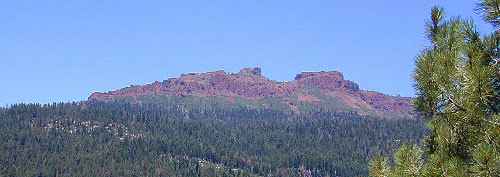
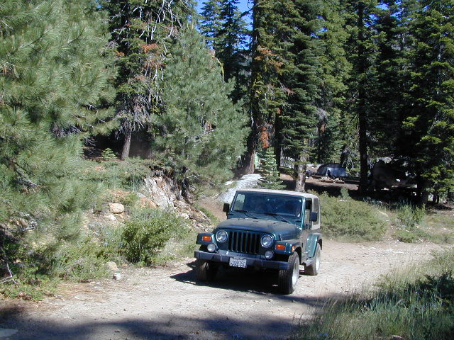
Volcanic areas of Carson Iceberg Wilderness can be seen from Hwy 108, near the small dirt roads that access the Stanislaus OHV areas: Niagra & Crandall

campground elevation

spots

veg toilet water hwy
Hwy 108 Mi-Wok Ranger Distr
Crandall OHV 5000' disp. - no no . May-Oct
Hwy 108 Summit Ranger Distr
Niagara Creek OHV 6600' 10 pines vault creek . May-Oct

More on Stanislaus Off-Highway Vehicles

Search : Hard Road West: History and Geology along the Gold Rush Trail
Hard Road West: History and Geology along the Gold Rush Trail

Amazon.com's Price: $16.50
Search : Land Navigation Handbook: The Sierra Club Guide to Map, Compass and GPS (Sierra Club Outdoor Adventure Guides)
Land Navigation Handbook: The Sierra Club Guide to Map, Compass and GPS (Sierra Club Outdoor Adventure Guides)

Amazon.com's Price: $11.53
Search : Sierra Nevada: Includes: Yosemite, Sequoia and Kings Canyon Nat'l Parks, Mount Whitney, Lake Tahoe, Gold Country, San Joaquin Valley,
Sierra Nevada: Includes: Yosemite, Sequoia and Kings Canyon Nat'l Parks, Mount Whitney, Lake Tahoe, Gold Country, San Joaquin Valley,

Amazon.com's Price: $9.95
Search : Bandit Roads: Into the Lawless Heart of the Sierra Madre
Bandit Roads: Into the Lawless Heart of the Sierra Madre

Search : Lone Pine Region Recreation Topo Map & Guide: Inyo National Forest, Kings Canyon National Park, Sequoia National Park, Tinemaha Reservoir, Owens River, Owens Lake, Sierra Nevadas, Inyo Mountains, Mount Whitney, Long Lake, Big Pine, Lone Pine, (Fresno County, Tulare County, Inyo County, Owens Valley, Interstate Highway 395, Intrastate Highway 136: Camping, Fishing, Hiking, Ohv, 4wd, Off-road, Climbing, Skiing, Mountain Biking, Street Maps, Campground Finder, Waterproof Topo Lines 3d Relief, Sierra Maps Eastern Sierra Series 2008)
Lone Pine Region Recreation Topo Map & Guide: Inyo National Forest, Kings Canyon National Park, Sequoia National Park, Tinemaha Reservoir, Owens River, Owens Lake, Sierra Nevadas, Inyo Mountains, Mount Whitney, Long Lake, Big Pine, Lone Pine, (Fresno County, Tulare County, Inyo County, Owens Valley, Interstate Highway 395, Intrastate Highway 136: Camping, Fishing, Hiking, Ohv, 4wd, Off-road, Climbing, Skiing, Mountain Biking, Street Maps, Campground Finder, Waterproof Topo Lines 3d Relief, Sierra Maps Eastern Sierra Series 2008)


California Weekends
Copyright © 1996-2008 Total Escape, www.totalescape.com / All Rights Reserved.

home | lodge | recreation | destinations | journey | forum | trips | advertise | site map | outside | maps | gear


MCSS_Offroad_120x240


MilitaryClothing.com Closeout Banner 120 x 240