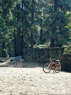
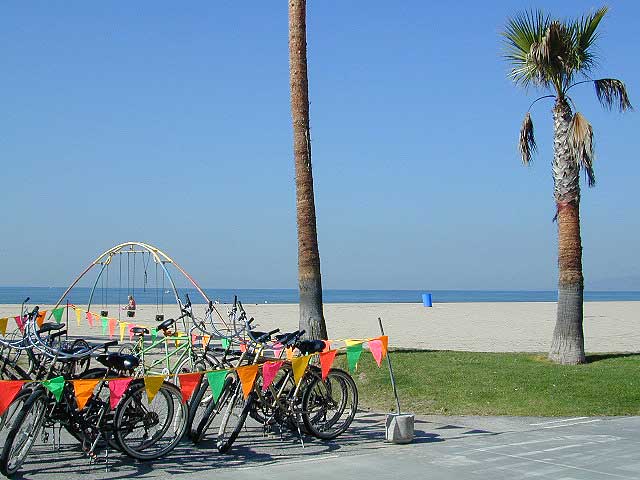
Redondo Beach Rio Vista Saint Helena San Anselmo San Carlos San Diego San Francisco San Jose San Juan Capistrano San Luis Obispo San Pedro Santa Barbara Santa Cruz Santa Monica Sausalito Seaside Sebastopol Solana Beach Solvang Sonoma Truckee Venice Ventura Weed Yosemite
California Bicycle Clubs / Cycling Teams / Organizations Almaden Cycle Touring Club Alto Velo Bicycle Racing Club Beach Cities Cycling LA Benicia Bicycle Club Bicycle Club of Irvine California Bicycle Coalition Chico Velo Cycling Club Cycle Folsom Davis Bike Club Delta Pedalers Different Spokes East Bay Bicycle Coalition Fremont Freewheelers Fresno Cycling Club Goleta Valley Cycling Club High Sierra Cyclists Los Angeles Wheelmen Marin Cyclists Oakland Yellowjackets Cycling Club Sacramento Bike Hikers Sacramento Wheelmen San Diego Bicycle Club San Jose Bike Club San Luis Obispo Bicycle Club Sierra Express Bicycle Club Valley Spokesmen Bicycle Club Velo Club Monterey Western Wheelers WOMBATS Fairfax, CA
California Bicycle Clubs / Cycling Teams / Organizations
Advertisement
Total Escape has been an AmazonAssociate for 20 years! Earnings from purchases keeps this site alive. Copyright © 1996-2024 Total Escape, totalescape.com / All Rights Reserved.
classic | lodge | recreation | destinations | journey | ads | sitemap | outside | maps | gear | mobile