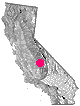
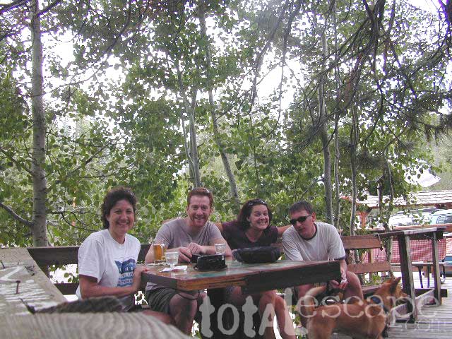
|
Mountain
terrain: High elevation pine forest along small highway. Access in winter months from the north only. Western Divide Hwy to the south is usually closed.
location:
Tulare County in Sequoia National Forest Hwy 190/ Western Divide Hwy 

|
recreation:
backpackingcampingfishingrock climbing - The Needles & Dome Rockmountain bikingHorse Pack TripsHorseback TrailsCross Country SkiingSnow MobilingNobe Young FallsSequoia Trail of 100 GiantsThe Needles Hiking TrailRoads End on Kern River Photos
parks, forests, rivers & lakes: Giant Sequoia National MonumentSequoia National ForestKern RiverGolden Trout WildernessDome Land WildernessTrail of 100 GiantsTule RiverTule River Indian ReservationKern River GorgeForks of the Kern Southern Sierra Nevada Forests Map Set
|
|
description: Small cabin community; pine mountain ridgeline w/ quaking aspens; Granite domes, granite gorge, views, steep hillsides in North Sequoia National Forest. Plenty outdoor recreation. Traveling OCT-MAY: carry snwo chains - always.
- nearby towns:
- Camp Nelson
- Springville
- California Hot Springs
- Fairview
- Roads End
|
local links:
PonderosaCA.com
|