


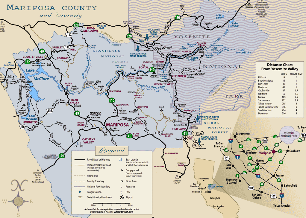
midpines, California
![]() Mountain
Mountain
![]()
recreation:
parks, forests, rivers & lakes:
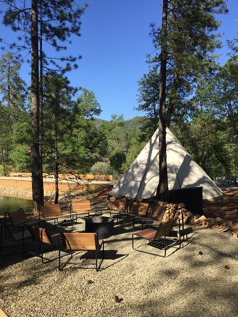
midpines campgrounds
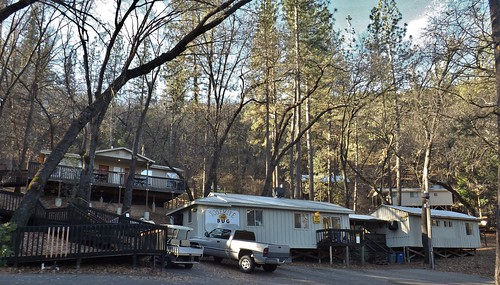
Yosemite Bug Cabins & Camp
Bagby @ Lake McClure
Dry Gulch Campground NFS
Yosemite BLM Camping
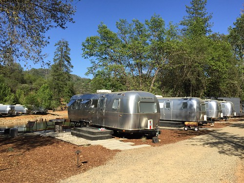
Auto Camp Resort

description:
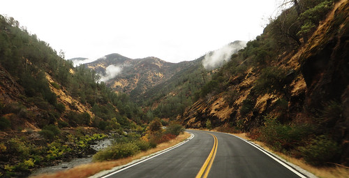
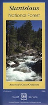
River canyon community in the Sierra Nevada mountains, near popular Yosemite National Park. This Middle Pines place is on the outskirts of Mariposa, close enough to ride a bike to. The Wild and Scenic Merced River w/ abundant camping and fishing spots. Briceburg Road is worth exploring, w/ trailheads and 2 BLM Campgrounds.
local links:
Mariposa Chamber of Commerce
5158 Hwy 140, Mariposa, CA 95338
209-966-2456
https://www.mariposachamber.org/
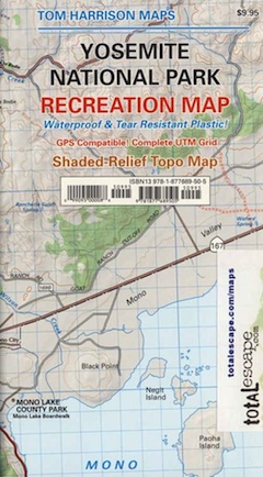
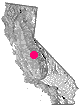
Mariposa Area Map
Merced Wild & Scenic River
Wildfire 2019: Briceberg Fire
Ponderosa Towing
Merced River Rafting Info
Yosemite Books
Hetch Hetchy Lake Maps
Yosemite Valley Trail Map
Yosemite High Country Map
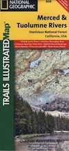
Merced River Map

Advertisement


Total Escape has been an AmazonAssociate for 20 years!
Earnings from purchases keeps this site alive.
Copyright © 1996-2024 Total Escape, totalescape.com / All Rights Reserved.
classic | lodge | recreation | destinations | journey | ads | sitemap | outside | maps | gear | mobile