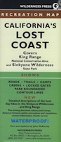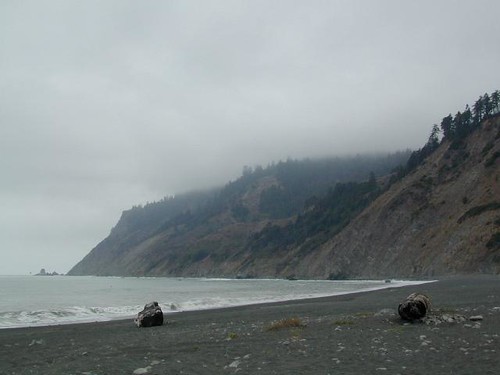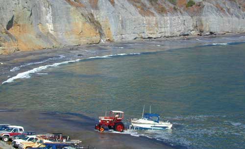
Along the rugged lower Humboldt Coast, Point Delgado is Shelter Cover California. This lil seaside community is right in the middle of the Lost Coast of Northern California. One narrow paved road leads thru redwoods, due east to Redway & Garberville. Usal Road, a long dirt roads leads north from Hwy 101 (just as it curves away from coast). ShelterCove is retirement homes perched on steep hillsides of forested terrain, overlooking the Pacific ocean. The cove is rugged & the small marina survives with fishermen & pulling boats onshore with a tractor. (aka Whitethorn, CA)