a d v e r t i s e m e n t s

Destinations | Mountain

town.yosemite national park

Yosemite National Park

lodginglodging reservations in Yosemite National Park

HSC: Vogelsang

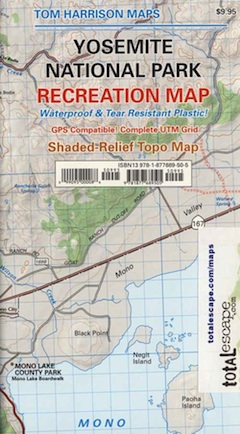
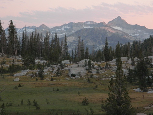
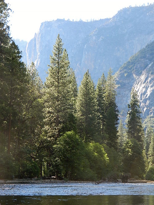
Yosemite Park: The most visited National Park - need we say more? This small wondrous granite walled valley has been converted into main stream concessionaire, equipped with pizza shops & galleries. Maybe the big floods are natures way of keeping people out. Either way, you best reserve a campground or lodge (a year in advance) if you plan an overnight in the Yosemite Valley, any time of the year. Moderately priced accommodations can be found in the neighboring towns around Yosemite.
www.flickr.com
elevation: 4000' population: 200 zip code: 95389

Mountain

terrain:
Deep impressive granite valley covered with a forest & waterfalls on the Merced River


View Larger Map

location:
Mariposa County
Northeast of Fresno
on Hwy.120 @ jct. Hwy.41 & 49

maps


= YOS

recreation:

  • Backpacking
  • Hiking
  • John Muir Trail - 200 mi.
  • Horse Pack Trips
  • River Rafting
  • Rock Climbing - The Big Walls
  • Snow Skiing - Badger Pass
  • Cathedral Lakes Yosemite Hike
  • Chilnualna Falls Yosemite Hike
  • Clouds Rest Yosemite Hike
  • Dog Lake Yosemite Hike
  • Four Mile Trail - Yosemite NP Hike
  • parks, forests, rivers & lakes:

  • Merced River
  • Yosemite National Park
  • Inyo National Forest
  • Sierra National Forest
  • Stanislaus National Forest
  • Humboldt Toiyabe National Forest
  • Ansel Adams Wilderness
  • Hoover Wilderness
  • Hetch Hetchy Reservoir
  • Emigrant Wilderness
  • Mono Lake
  • Bass Lake
  • Tuoloumne River
  • Tuoloumne Falls
  • Yosemite Creek
  • yosemite national park campgrounds

    Lupine Campgrounds - Bass Lake
    Dirt Flat Camp, El Portal
    Yosemite Campgrounds
    Coarsegold KOA Campground
    Crane Flat Yosemite Campground

    tent camping

    description:
    The main valley, known as Yosemite is at an elevation of aapprox. 4000' & gets a fair amount of snow, while the granite ridges rise to heights of 8000 feet. The backcountry mountain peaks reach over 13,000 feet in elevation. Plenty to see & do in this park, but don't expect to be alone on the trails.

    nearby towns:
    Coarsegold
    Fish Camp
    Mariposa
    Oakhurst
    Lee Vining
    Ahwahnee
    Nipinnawasee
    Bass Lake
    Midpines
    Wawona
    Cathy's Valley
    El Portal
    local links:

    Yosemite Chamber of Commerce
    209-962-0429
    http://www.yosemitechamberofcommerce.com

    Yosemite Association
    Dining in Harmony
    Yosemite Jobs
    Yes Yosemite!
    UntraveledRoad - Yosemite Valley
    Badger Pass Skiing Yosemite
    Yosemite Blog
    Hiking Around Yosemite
    Is Yosemite Open Yet?
    Hwy 120 - Tioga Pass Snowpack
    Yosemite Webcams
    Friends of Yosemite Search and Rescue

    Advertise on this site
    Yosemite National Park Map
    Yosemite National Park Map
    Yosemite High Country Map
    Yosemite High Country Map
    Half Dome Map
    Half Dome Map
    Yosemite Map
    Yosemite Map
    Sierra National Forest Map
    Sierra National Forest Map
    Inyo National Forest Map
    Inyo National Forest Map
    Yosemite Ansel Adams Map
    Yosemite Ansel Adams Map
    Yosemite Trout Fishing Guide Softcover
    $14.95
    Yosemite Big Walls Guidebook by Supertopo
    $29.95
    Hiking Yosemite National Park
    $14.95
    Patagonia Yosemite In the Sixties Book
    $60.00
    100 Hikes in Yosemite National Park
    $16.95


    California Weekends
    Copyright © 1996-2012 Total Escape, www.totalescape.com / All Rights Reserved.

    home | lodge | recreation | destinations | journey | trips | advertise | site map | outside | maps | gear


    REI.com

    Vacation Rentals California

    tahoe cabins