Lakes in San Diego CA
San Diego County Lakes & Reservoirs
- El Capitan Reservoir, El Cajon CA
- Lake Cuyamaca, Cleveland NF, Julian CA
- Lake Dixon, Escondido CA
- Lake Henshaw, Warner Springs CA
- Lake Hodges, Escondido CA
- Lake Jennings, Lakeside CA
- Lake Miramar, Mira Mesa CA
- Lake Murray, La Mesa CA
- Lake Poway, Poway CA
- Lake Sutherland, Cleveland NF, Ramona CA
- Lake Wohlford, Escondido CA
- Loveland Reservoir, Alpine CA
- Lower Otay Lake, Chula Vista CA
- Lake Morena, Campo CA
- San Dieguito Reservoir, Rancho Santa Fe CA
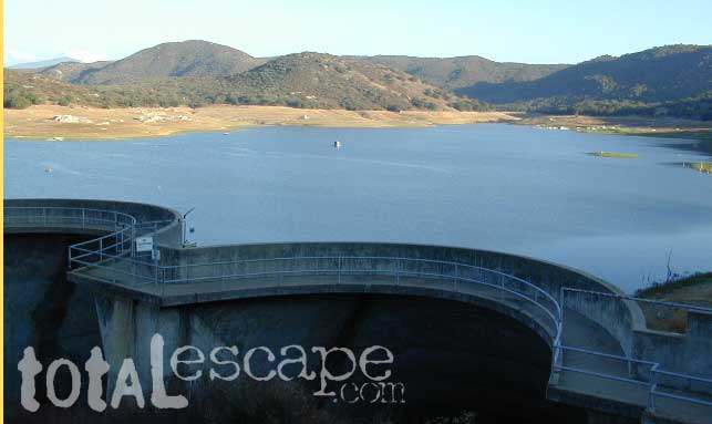
- San Vicente Reservoir, Lakeside CA
- Santee Lakes, Santee CA
- Sweetwater Reservoir, Spring Valley CA
- Upper Otay Reservoir

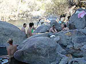
Salton Sea, way out past Anza Borrego desert is indeed surreal, but nothing too spectacular


Barrett Lake, near Tecate CA
w/ plenty of off-roading trails @ Corral Canyon OHV Park
- south of Interstate 8
- steep slopes & granite boulders
- vegetation is chaparral & coastal sage
- elevations range – 1,600′ – 3,681′
- wood fires prohibited
- portable stoves permitted
- groups limit – 15 people
- visitor permit required
Looking for alpine lakes, dense forest and dramatic mountain scenery?
Of course you are. That’s why half the population relocated to California, to endlessly search for summer vacation destinations in alpine bliss and stay overnight next to a secluded mountain lake. You’ll need to leave SoCal to find these beauties, but they are out there if you have the time to travel and spend a week enjoying one. Midweek, the fish are all yours. Check out our huge California Lake List.