San Jacinto Wilderness

Jacinto Maps

Southern California / San Jacinto Wilderness Area / San Jacinto Mountain / Palm Springs Mountain Hike

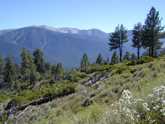
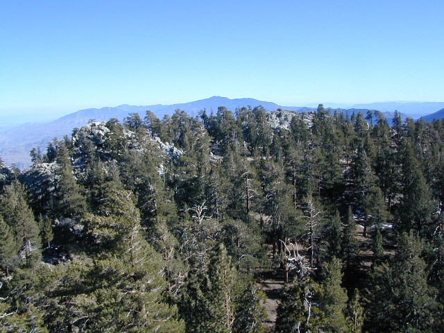
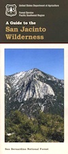
The well-photographed snowy mountain backdrop behind the desert deluxe resort-land known as Palm Springs, Mount San Jacinto is the second tallest peak in Southern Cal.

Mighty San Gorgonio peak, across to the east – on the other side of the valley, is the very highest mountain in this desert region. Granite Jacinto peak is located in between the mountains of Idyllwild and the low deserts of Palm Springs.

32,248 acres
Mount San Jacinto – 10,834′ elevation

San Bernardino National Forest

JACINTO PARK access –

Palm Springs via Tram

Book tickets online!

Nearest towns:
Idyllwild CA
Pine Cove CA

jacinto peak

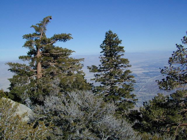
Day hikes, picnic in the forest, backpacking, horseback rodes w/ SUPER easy access via the fantastic Palm Spring Tram ride, up to 8000′ elevation.

The San Jacinto Wilderness is managed by 2 different agencies: The National Forest Service and California Department of Parks & Recreation.

If you are camping overnight in the forest, you must get your wilderness permit from the agency that administers the area where you plan to spend the night. Day-use permits can be obtained on the day of your trip by visiting one of the ranger stations below. Day-use permits issued by either agency are honored by both, except during the busy summer months when permits to enter the Wilderness via Devil’s Slide Trail can be obtained only from the National Forest Service.

Camping permits can be obtained in advance by mail, in person, or online w/ PDF. National Forest Service accepts requests up to 90 days in advance; Mount San Jacinto State Park accepts them up to 56 days in advance. You can also get them on the day of your trip, if any are available at that time.


USDA National Forest Service
San Jacinto Ranger District
54270 Pine Crest Ave
Idyllwild, CA 92549
951-659-2117

Mount San Jacinto State Wilderness
25905 Highway 243
Idyllwild, CA 92549
951-659-2607

regional trail maps –

San Jacinto Hiking Maps

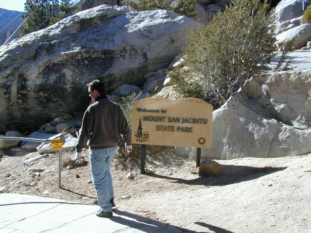
Mount San Jacinto State Park is surrounded by San Jacinto Wilderness

More San Jacinto Wilderness Info & Links –

summitpost.org/jacinto-peak
San Jacinto Peak Wiki
USDA San Jacinto Wilderness
Mount San Jacinto State Park

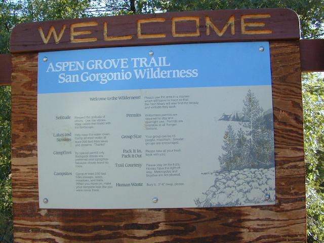
San Gorgonio Wilderness

sangorgonioview
Old Greyback, San Gorgonio Mountain – as seen from forest road #2N93

Southern California /San Gorgonio Wilderness Area / San Gorgonio Mountain Peak Hikes / Backpack Gorgonio

The tallest mountain peak in Southern California towers over the often smoggy basin of the Inland Empire, Riverside & San Bernardino. Coachella Valley lies to the southeast. Joshua Tree National Park lies due east.

Old Greyback is a fitting nickname for the peak. The massive, bald, decomposed granite gravel paves the whole top layer, above treeline (altitude nearing 12,000 feet above sea level) and this impressive peak can be seen from most of the Los Angeles basin and the Palm Springs desert. The expanding view of the Pacific Ocean can be seen 70 miles to the west, but only if the skies are clear. Windy, winter days are excellent conditions for viewing, but plan your hike accordingly as this peak could be covered in deep snow during winter or springtime.

This is a very popular backpacking weekend trip to escape from the big urban populations. San Diegans and Angelinos can easily access this location in a few hours from home, via Interstate 10 and some mountain driving on a 2 lane highway.

tallest peak

94,702 acres

San Gorgonio Peak – 11,503′ elevation

San Bernardino National Forest


Forest & Hiking Maps –

San Gorgonio Topo Maps

  • San Gorgonio Wilderness Map (USDA)
  • San Gorgonio Trail Map (Tom Harrison)
  • San Bernardino National Forest (USDA)

Gorgonio trailheads –peak hiking

  • Hwy 38 @ Angeles Oaks
  • Hwy 38 @ Barton Flats – Jenks Lake
  • Hwy 38 @ Heartbar – Fish Creek & Mission Springs
  • Hwy 38 @ Fossil Falls – Momyer & Big Falls
  • I-10 @ Millard Canyon – East Branch & Middle Branch
  • Interstate 10 @ Cottonwood Canyon – PCT access

nearby campgrounds –

Heartbar Campground (Hwy 38)

Mission Springs Trailhead Camp

Dry Lake Campground

nearby communities & towns –

ANGELES OAKS
BIG BEAR CITY
BIG BEAR LAKE
FOREST FALLS

surrounding wilderness and forest lands –

San Bernardino National Forest
Pipes Canyon Pioneertown Preserve
San Jacinto Wilderness

National Forest & Wilderness Permits –

USDA San Bernardino NF

more San Gorgonio info & links –

summitpost.org/san-gorgonio-wilderness
San Gorgonio Wilderness Wiki
Trails of the San Gorgonio

Gorgonio Trailhead

Equestrian Trails
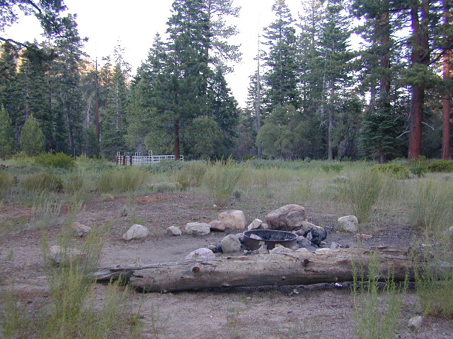
MIssion Springs camp & corrals at trailhead. Dirt road above Heart Bar.

John Muir Wilderness

John Muir Hiking / John Muir Map

High Sierra Hiking

California Wilderness Area Acres Topographical Maps
John Muir Wilderness

elevations: 4000′-14,496′

584,000 John Muir Wilderness Maps
Inyo National Forest

JMT

High Sierra Nevada / Eastern Sierra

Rugged Sierra Nevada high country. The highest peaks in the Sierra Nevada mountains can be found inside this Wilderness. Many peaks are well above 13,000 feet. Granite, glaciated basins, big snow, alpine lakes, meadows, wildflowers, streams, creeks, cliffs, jagged peaks. Mount Whitney stands as the tallest mountain in the lower 48 states.

John Muir Trail Maps
– JMT Topo Map

lacontedivide
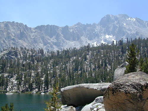
Le Conte Divide, Sierra Nevada California – 12,000′ elevation peaks

Eastern access via steep granite hiking, off US Hwy 395 (Bishop, Independence, Lone Pine)
Western access backpacking thru Kings Canyon National Park, Hwy 180
or Sequoia National Park, Hwy 198 (Mineral King, Three Rivers)
or Sierra National Forest, Hwy 168 (Lake Edison, Florence Lake, Courtright Reservoir)
North access via backcountry Yosemite National Park, Hwy 120
or Mammoth Area towns (Lee Vining, June Lake, Mammoth Lakes)

Hundreds of miles of hiking trails, some of the highest peaks in the nation. Trails open to equestrian and foot traffic only. Trailhead quotas limit the amount of day hikers and backpackers that an access the Wilderness daily. Wilderness permit required: Inyo National Forest Permits

Eastern Sierra Visitor Center
Inyo Visitors Office

JM Topo Trails

USDA National Forest
USFS, NPS, BLM

NFS NPS

Eastern Sierra Interagency Office
US Hwy 395 @ SR 136
Lone Pine, CA 93545
760-876-6200

JMT
JOHN MUIR TRAIL- John Muir Wilderness

nearby towns, parks & resorts:

Aspendell
Big Pine
Bishop, CA
Courtright Reservoir
Florence Lake
Independence, CA
Kings Canyon National Park
Lake Edison
Lone Pine, CA
Mammoth Lakes
Olancha, CA
Tom’s Place
Wishon Reservoir
Yosemite National Park

www.flickr.com