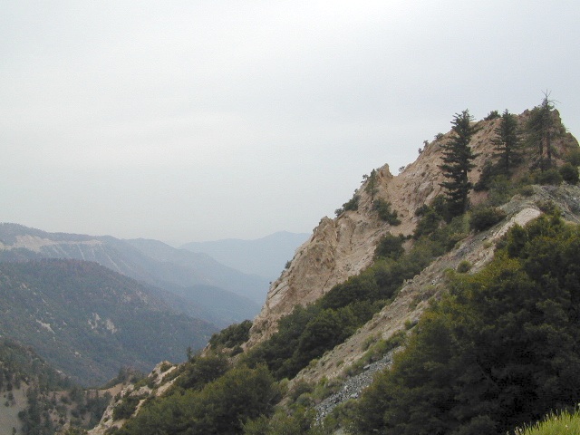
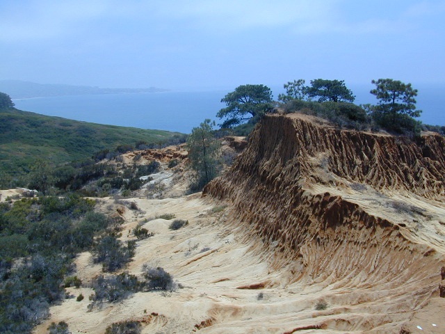
Angeles Crest Mountains
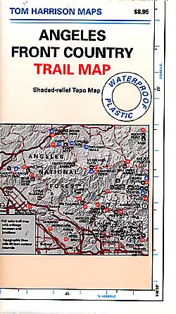
Los Angeles Forests Hiking Maps
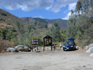
If you’re feeling trapped in the smoggy LA Basin & need a quick escape to nature this is your place to find a good nature trail, a hiking trailhead, a picnic spot or camp site. Whether or not you are looking for a mountain bike trail after work, or a weekend of camping under the stars surrounded by natural settings, we can get you to your preferred destination with all the local maps of this region.
Angeles forest map: Angeles Forest Highway & Angeles Crest Highway 2 both lead into the Angeles National Forest. Off roading routes, hiking & backpacking, equestrian trails, dirt back roads, mountain peaks, campgrounds or picnic grounds.
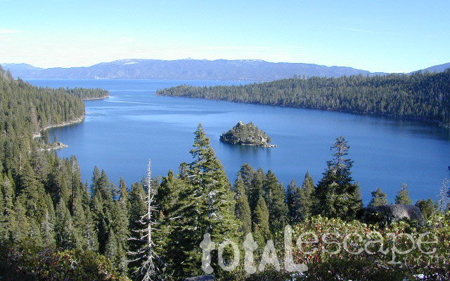
Sierra Nevada California / Inyo National Forest & Sierra National Forest
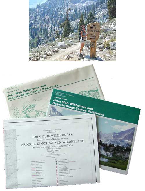
Tom Harrison John Muir Map Pack
This one is the most detailed, easy to read map available for this popular High Sierra region. The maps are compact size 8.5″ x 11″, waterproof & tear resistant, easy to store in a backpack. The pack contains 13 individual sheet maps of the John Muir Wilderness.
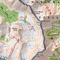
USGS National Forest Service John Muir Wilderness Map
The Forest Service edition of topo maps for the John Muir Wilderness, including the Sequoia-Kings Canyon Wilderness as well. Old fashioned paper maps, large, folded, 2 pieces in one envelope.
Southern California is a culture unto itself. The SoCal region spans from the coast of San Diego to the inland deserts of Imperial. Upward to included most of Mojave desert and over to the Santa Barbara coast, with he coastal mountains in Los Padres National Forest as the backdrop. If you seek a mountain bike trail in Big Bear, a picnic spot on the Malibu coast, a camp site in Anza Borrego Desert or an 4×4 route near Gorman, we will have you covered with our large selection of topos and trail maps.
hike, bike, camp, off road and explore
SoCal Map Set
A handy map set that includes all 4 Southern California National Forests
Located north of the small community of Riverkern and south of the Johnsondale Bridge, numerous flat camp spots adjacent to the rivers edge can be found.
Ant Canyon Dispersed Area Brush Creek Campground Calkins Flat Dispersed Area Chamise Flat Dispersed Area Chico Flat Campground Corral Creek Campground Springhill Dispersed Area
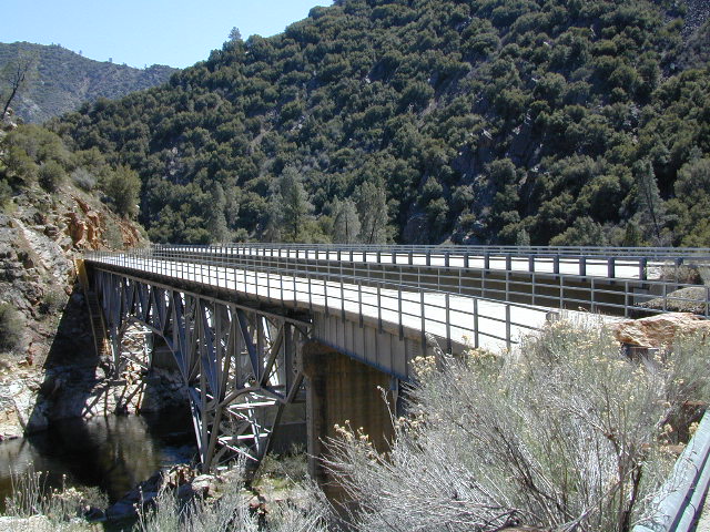
Kern River Road
Sierra Way in Kernville travels north along the Upper Kern River & becomes Mountain Hwy 99 – which eventually connects with the Western Divide Highway in Giant Sequoia National Monument.
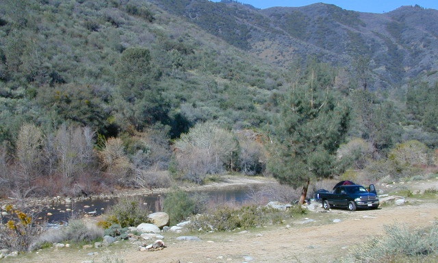
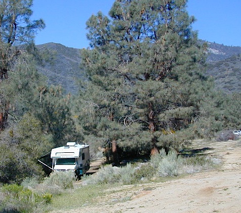
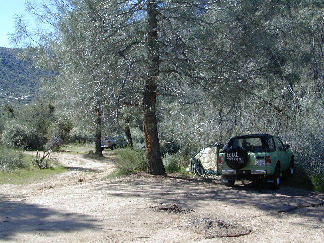
Dispersed Camping Areas along the Kern River
Open Year Round! These FREE camp areas are called dispersed camping sites. No pavement, no picnic tables, no bathrooms, no piped water. Portable toilets & trash bins may be available in the busier summer months. Campfire permits are required for all campfires, BBQs, and camp stoves. Fire restrictions are common in extreme dry conditions. 14 day limit on camping.
Many flats are signed w/ small brown signs, while others are not. Some are actually flat and easy to access, while others are steep, eroded dirt trails unsuitable for RV travel.
Kelly’s Hole, overgrown, unknown, well-known or burnt beyond recognition? Roads End is no more.
Camp sites listed on this page are dispersed camping areas around the Kern River Area. Not all camp spots are listed, cuz many are unnamed. Bring your GPS to mark your favorite camp sites and you can arrive in the dark, late at night, anytime, (avoiding city traffic after work).
Several spots known as “dirt flats” are easy accessible right off the pavement of Sierra Way. Primitive river camping, fishing spots and raft launch areas north of town. Vault toilets might be available during busy summer months, but you’re on your own the remainder of the year. Bring a shovel and take a hike, away from the water flow. And if that sounds like too much work for a potty break, maybe you are not cut out for the primitive kinda camping style. No garbage service either: pack it in, pack it out.
Wildflowers are abundant in the Kern Canyon nearly every Spring season (April & May), which is a popular time to enjoy this region. Autumn brings minimal fall colors to this dry, desert mountainous landscape, but the fishing is decent at that time of year.
CAMPING OUTSIDE OF CAMPGROUND means you must obtain a free fire permit from the local rangers. Sometimes these dispersed spots are fire-safe areas, and you are allowed to have camp fires. Other times campfire restrictions are in place w/ wildfire dangers too extreme and no fires are allowed, anywhere. (Not even inside a developed campground!)
WILDERNESS NOTE: The USDA National Forests web site states that “Camping and campfires within 25 feet of the water’s edge is prohibited due to the Wild and Scenic Designation”, but that doesn’t seem to stop some from setting up right on the fragile rivers edge. Doubtful that this rule is being enforced by the rangers, but consider yourself warned unless they start to get serious about this restriction. Many believe that the free camping along the Kern river is destroying it, so don’t be surprised if these areas get closed or barriers placed at the flats.
Caulkins FLAT has some new boulder barriers put in place which prevent cars from reaching certain ideal camp spots (right at the waters edge). Tough luck. Now we have to hike more.
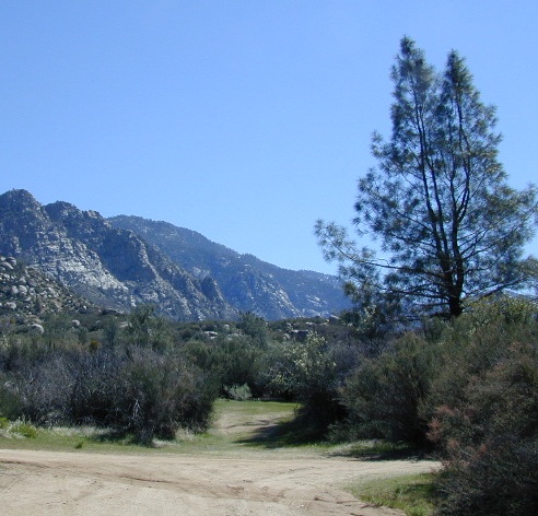
Upper Kern River North of Kernville, CA
all camps below listed from south to north
ALL CAPS = developed campgrounds managed by US Forest Service, w/ links to Kern River Campgrounds.
Ant Canyon
Just north of Goldledge Campground, along the Upper Kern River.
South of Salmon Creek; Hike to Salmon Creek Falls.
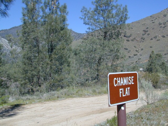
Chamise Flat
12 miles north of Kernville, CA
This camping bluff could be the most forested of all the ‘kern flat’ camping areas, but river is a short hike down a very steep cliff. Fishing is excellent in this stretch.
Calkins Flat
15 miles north of Kernville, along the Upper Kern River. Just south of Fairview (McNalley’s). Sign at the location reads a different spelling of “Caulkins Flat”. Kayak and rafting put-in spot. One of the best sites for large groups. Area is also known as simply “Lower Campground” on GoogleMap.
Brush Creek
3600′ elev
Just south of Sherman’s Pass Road turnoff. This place also serves as a Day Use Area, where Brush Creek meets the Kern. Kayaking put in spot. Popular fishing area. Large open dirt parking lot with a vault toilet.
Lower Kern River Southwest of Kernville, CA
Lake Isabella has some shoreline camping with wide open access to the lake. Paradise Cove perhaps?
Historic Keyesville – “off-roaders camping paradise” along the river, but no swimming is allowed due to the extremely dangerous section of river. OHV trails lead (west) down river for many miles. Dirt bikes love the rugged boulder-scapes and steep hills. FREE camping; BLM Kern.
SANDY FLAT CAMPGROUND (NFS) – Open all year long! Terraced & paved hillside with numerous camp sites and plenty of room to spread out. RV campers like this location, due to the proximity to Hwy 178. elev 2300
Remington Hot Springs can be a zoo at times w/ the amount of people who love to stop here. A busy dirt parking lot, right across from the Remington trailhead sign. Many vehicles park here daily for day hikes, hot springs, fishing – and people also like to camp out, although camp sites are on slopes (not ideal), only a few and they fill up fast (before sunset).
Total Escape TIP: The very best camps at Remington are actually the ones you hafta hike down to. Less than a half mile down to the rivers edge to find a private mini beach. Pack light and arrive prepared to walk several miles (back & forth, several times).
Old Kern Canyon Road parallels Sierra Highway 178 and sits well above the river, so any flat spots you find will have great views w/ minimal river access.
Lower Kern River has very limited camping options.
These are picnic lakes, hiking lakes and camping lakes that are located inside Yosemite National Park or the surrounding areas bordering the granite wonderland.


 WILDERNESS NOTE: The USDA National Forests web site states that “Camping and campfires within 25 feet of the water’s edge is prohibited due to the Wild and Scenic Designation”, but that doesn’t seem to stop some from setting up right on the fragile rivers edge. Doubtful that this rule is being enforced by the rangers, but consider yourself warned unless they start to get serious about this restriction. Many believe that the free camping along the Kern river is destroying it, so don’t be surprised if these areas get closed or barriers placed at the flats.
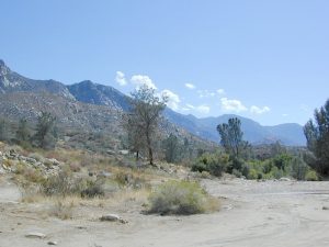

