San Diego Beach Camping

Coastal Cliffs San Diego

San Diego Coastal Campgrounds
Mission Bay & North County
SD Beach RV Parks & Camping

RV camps camp

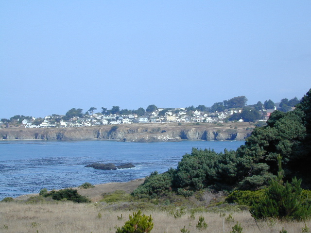
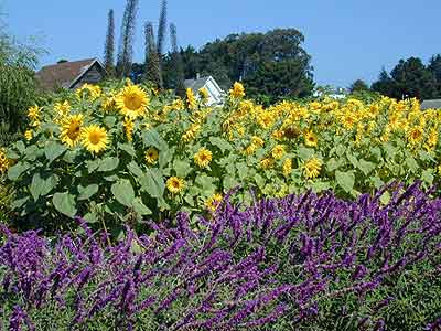
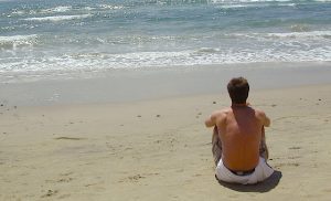
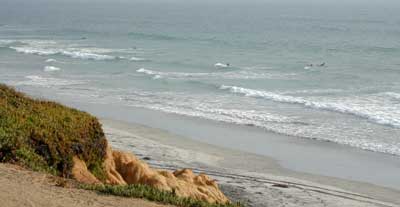
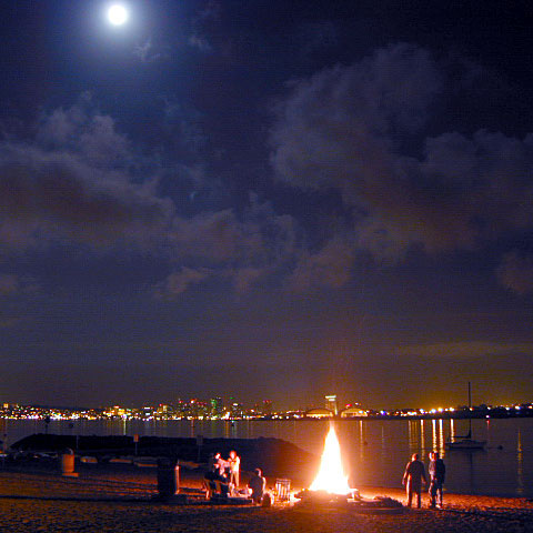
San Diego’s mild climate means camping is available all year round. Winter storms can get windy and rainy, but most campgrounds are still open. From north county where the coastal cliffs overlook the ocean, to downtown bay side marinas w/ RV camping, to camping right on the sand w/ ocean crashing just feet away. Bike paths are common around downtown San Diego, so you can bring your bike or skates.

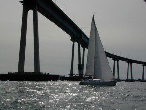
San Diego has 2 BAYS, both located along Interstate 5: The main bay downtown is called San Diego Bay (one of the deepest on the west coast) and the other a few miles north, is named Mission Bay (a man-made coastal waterway w/ green parks and paved bike trails).

Reservations are required at almost ALL coastal campgrounds, especially around holidays, any 3 day weekends, and all summer long. Tons of tourists flock to Southern California and this is a very popular coastline – with busy little cities and crowded beach towns. Beware: if you are seeking secluded camping – this would not be the place.

Best Beaches

listed from south to north

Carlsbad Cliffs

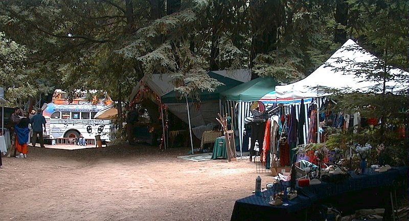
There are numerous private RV resorts, some quite large, like KOA and GoodSam parks located in and around San Diego county. Most are metro-close and not located on the beach. This list is primarily coastal camping options for the San Diego region.

camping SoCal

Seagulls at Cardiff

see also
San Diego Campground Camping

see a list of all
San Diego cities & towns

baybridge

San Diego Camping

Hiking California Coast

California Coast Trails

Big Sur Coast 
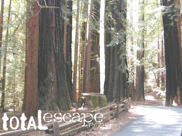
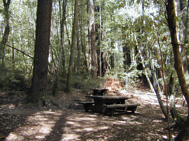
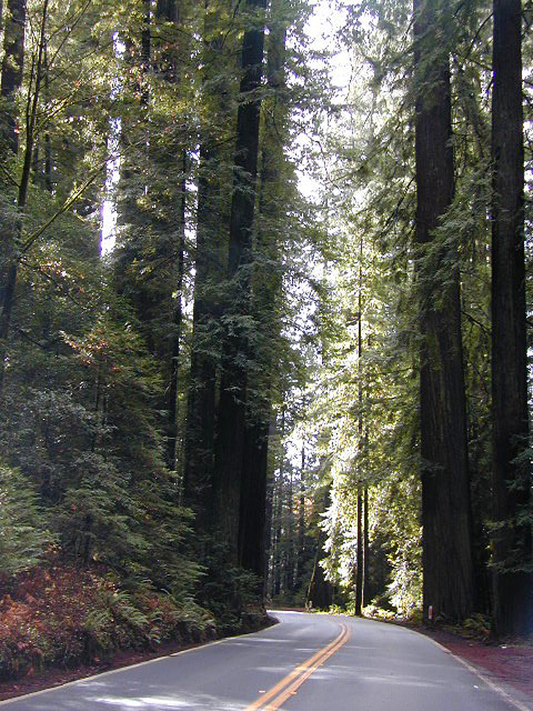
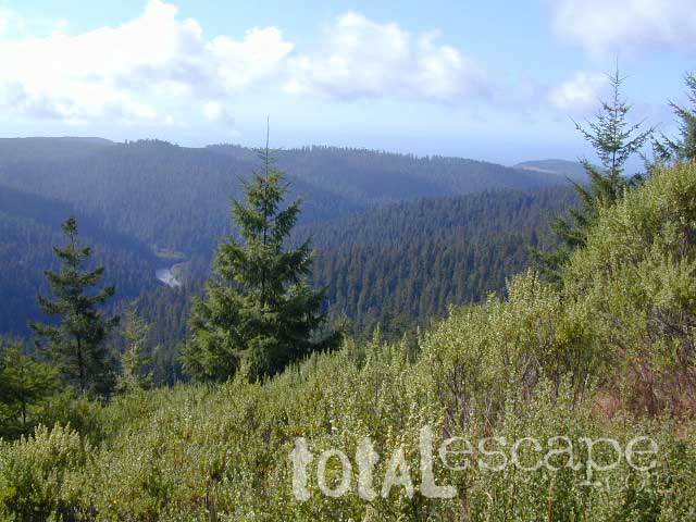
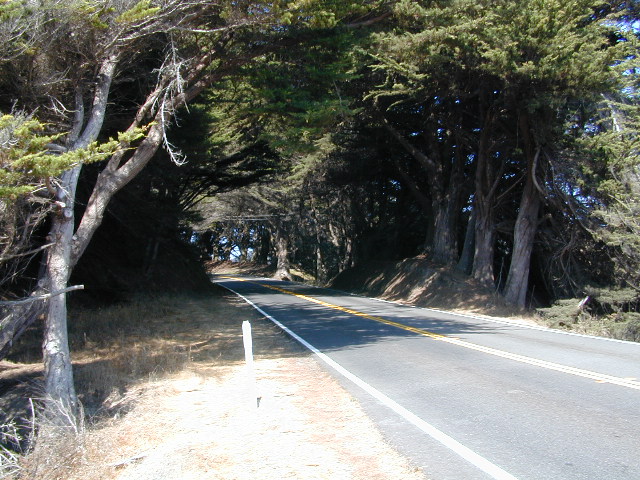
Coastal hikes are the mildest trails California has to offer, ranging from scenic strolls along the base of beach cliffs to steep redwood forested canyons. From Torrey Pines in San Diego to the multiple redwood parks along the North Coast, there is no shortage of hiking near the coastline. Southern California has more beaches than parks, with tide pool areas being a favorite destination for many. Central Coast has lush, fern canyons with year-round flowing creeks and numerous bluffs and rugged beaches. Bay Area has hiking trails nearly everywhere – along the bay, in the woods or on the coast. NorCal has all the wilderness, parks and remote beaches one could ever hope for. What are you waiting for? Get out there.

Pacific Valley Hiking

San Francisco Bay Area Hiking

Limekiln Hikes

hiking trail maps

NorthMarin
Channel Island National Park Map
Los Angeles Hiking Maps
Los Padres NF South (Ojai, Santa Barbara, Frazier)
Los Padres NF North (San Luis Obispo, Big Sur)
Marin Hiking Maps
Mendocino National Forest Map
Six Rivers National Forest Map
Redwoods Map
Ventana Wilderness Map w/ Silver Peak

Sand Dollar Beach

Hiking Park

California Guide to City Hikes, Urban Hiking Trails & Local Community Parks

California has thousands of parks, forests, preserves and open spaces for public use. Outdoor recreation, museums, gardens, pools, biking, equestrian and hiking trails. There are State Parks, National Forest & National Parks gracing nearly every corner of the golden state. Each California county has numerous county parks and within downtown regions, city parks can be perfect, scenic, picnic spots, or the parks could include hiking trails – like San Diego’s Balboa Park that is 5 square miles big.

creek park

Community Resources for California: Parks & Recreation

Local museums, city parks, county parks, found under individual town listings on California A-Z

Santa Cruz Redwoods

hippytownway
BSA Camp Cutter

Santa Cruz Mountains & Santa Cruz Redwood Parks

overnight in the redwoods

Camping out in the Santa Cruz mountains can be a magical experience. It is here where some city dweller first get a glimpse of the coastal giant trees. Towering above in several Redwood Parks, the hiking & camping are endless. Backpacking, day hiking, mountain biking and horseback riding are all popular activities in this region.

NOTE: There is no off-roading, 4×4, OHV trails in these coastal mountains, so it will be more peaceful. Peace and quiet, remember that?

redwoods Santa Cruz

Since this mountain range is in between the Santa Cruz coastline and THE CITY, San Francisco, and situated right next to the mega-city “Bay Area”, you can always expect a few tourists about and lots of locals out enjoying their backyard (at all times of the year).

Make campground or cabin reservations as far in advance as possible. Summers are the busiest months!

State Park hikes tent camp RV

Tent Cabins
Tent Cabins: Big Basin Cabins can be arranged at Big Basin State Park. Campgrounds can be found at all State Parks and some county parks. Private vacation homes are found nearby; a few small towns on Hwy 9 offer hotel accommodations. On the coastal side of this ‘mountain’ is the small community of Pescadero w/ Butano SP.

Small towns nearby offer lodging & dining:

Big Basin Redwoods Camping

Hiking Lake

Guide to Hiking Lakes in California

lakes Southern California

This is California – the beautiful, where millions flock on vacation. California is crowded: the population & tourists are only increasing each year. Thousands of people are looking for hiking mountains or better, a hiking lake – each weekend. Many are using the web for destinations, like the research you are doing right now. All folks seeking nature, water, cooler temps, fresh air & views. High Sierra, NorCal, SoCal Reservoirs, we list the best of these hiking lakes below.

Some of the lakes have mountaineering routes nearby; equestrian trails, regular hiking trails, campgrounds, some even have sorta level paved (granny) trails for biking, hiking & skating around.

High elevation or alpine lakes can be accessed best in summer months. Mountain bike, backpack, horseback into these hidden treasures. With any Sierra Nevada destination, snow pack deep can be in certain seasons. Major Highways (Sierra Passes) can be closed into June or July, due to rock slides and late snow melt. Snow shoes, snowmobile or 4×4 vehicles may be needed to reach such lakes, any months OCT-MAY (fall to spring). Winter can come early & stay late at these higher elevations of California; Be prepared for true Wilderness experience.

But maybe you are just looking for some easy hiking, loop trails & picnic spots; Or perhaps an overnight stay near a lakeside camp w/ kayak rentals. California reservoirs to alpine lakes, we have a wide variety listed below.

This page contains links to some favorite lakes with hiking trails around the lake, along the shoreline or routes on ridge lines overlooking the lake. If no good lake page could be found, we’ve linked to some photos of the lake on Flickr.

Baja California:

SoCal:

Central California / Sierra Nevada:

NorCal:

Blackrock Reservoir in Sierra Nevada

Lakes California Map: check out all the maps we have for lakes in Cali

Redwood Beach Camping

NorCal Redwood Coastal Camping

Redwood Campgrounds

Del Norte County, Northern California

redwood101

There are a few special places in California where redwood trees grow right down to the shore, but it is rare. Searching for place to pitch a tent (under the redwoods at the coast) is possible, but a bit harder to find than you might imagine. State Parks usually offer the standard paved camp site. Maybe need to drive dirt roads to find redwood seclusion.

Crescent City Camping

redwoodmap

Klamath Coast Camping

blue links lead to State Park pages with camp reservations.

State Park

Redwood Park Campgrounds State Parks

Redwood National Park National Park
Camping 

  • Demartin Campground
  • Flint Ridge Campground
  • Mill Creek Campground
  • Nickel Creek Campground (backcountry)

Eureka RV Campgrounds

redwood camping norcal

If you are seeking free or dirt cheap, primitive camping on the coast, then LOST COAST CAMPING on the Mendocino border is one option. Or head east, inland to the abundant National Forest. Dirt roads of the Six Rivers National Forest offer old logging roads, creeks, and secluded places to pitch a tent. Campfire permits are needed for dispersed camping, or ‘boondocking’ as some call it.

Dirt back roads can get muddy during the wet season, so know your vehicles capability and if you are unsure, check with the local rangers over the phone (preferably a ‘field ranger’) before venturing out. Remember that rain and mud are the norm, most of the year.

Fog is typical of the region. Enjoy the sunshine – when you can!

see more towns nearby –

Smith River
Crescent City
Klamath
Orick
Trinidad
Arcata
Eureka
Scotia
Ferndale
Petrolia
Garberville
Redway
Shelter Cove

Green Creek Road

Mono County Wildlife Area
Mono County Wildlife Area, Green Creek Road- off Hwy 395, near Bodie

Green Creek California

Eastern Sierra

S of Bridgeport, CA
MONO – Road #142NFS

Toiyabe National Forest
Bridgeport Ranger District

If you are thinking about fishing or camping the Eastern Sierra, North of Bishop & you are not up for the crowds at Mammoth or June Lakes, then try the Bridgeport area, north on Hwy 395. Rural ranch lands along main road, Bodie ghost town turn off across the highway and Virginia Creek Settlement are also nearby

Green Creek is a 11 mile long dirt road in the lush Eastern Sierra the northern portion. The wide, graded dirt road is signed and dead ends at a Toiyabe National Forest campground called Green Creek Campground. The drive up can be washboard bumpy in some parts, but that doesn’t stop the hundreds of adventurous motorhomes that make this trek annually. This place features some of the best prime Sierra back roads camping options for RVs.

Another dirt route, Dunderberg Meadow Road peels off to the left. Dunderberg departs  off Green Creek a couple of miles from the highway and well maintained. This route leads to meadows, aspens, picture perfect scenery and much more seclusion. Passenger car accessible, wide graded dirt roads to wilderness edges. Two-track one lane trails lead to meadow edges and more creeks. Very impressive views of the Sierra peaks over here on this side. Meadows are sensitive areas, wonderful for picnics and you should always minimize impact.

State Park California

Green Creek Wildlife Area
Mono County, California

Aspen Grove Camping for RVs

  • alpine lakes
  • backpacking
  • bird watching
  • camping
  • creeks
  • day hikes
  • fishing
  • hiking
  • horseback
  • hunting
  • mountain biking
  • wildlife
  • wilderness

Plain old passenger cars can easily make this route deep into the Eastern Sierra aspen canyon. Graded dirt and4x4 could be needed winter months. Backpackers can enjoy easy access to the Hoover Wilderness trailheads. There is plenty semi-primitive camping spots along the way, right on the creek, for free…. so no need to sleep in your vehicle upon arrival.

Autumn Aspen Groves: fall colors peak in October, which is usually when the first snows for the winter season start. November – usually the freeze gets them and lifeless brown leaves dangle, until the Sierra Nevada wind gust blow real good.

camp

Green Creek Camping

DIRT ROAD CAMPING

  • alpine lakes
  • backpacking
  • car camping
  • day hikes
  • fishing camping
  • meadows
  • RV camping
  • tent camping

Hoover Wilderness

Dispersed, primitive camp spots along this main dirt road are on a first come basis. You’ll need a fire permit. Many flat camps are set along the creek in aspen groves, some pines, others have  cubby hole privacy. Large granite valley, big creek, bird, scenery and nature everywhere.  Some folks spend weeks camping out here in the warm weather months. Fishing is a big attraction.

Old Cabin in autumn leaves, up near the top of the dirt road deep in the aspen grovesNFS

Green Creek Campground USFS
7500 elevation
11 camp sites
fee, open May – October
trailhead parking nearby

hiking trails lead to

hikes

TOPOGRAPHIC MAPS:

Aspen Camp

Mendocino Beach Camping

Mendocino Coast Campgrounds

villageoncliff
Tent camping directly on a sandy beach can be found at USAL BEACH – on remote reaches of the rugged Lost Coast, via long dirt roads (not recommended for RV or camper trailers). Numerous small, cheap, forested campgrounds can be found on the Kings Range (dirt) roads. The area is also known as Honeydew or the Emerald Triangle. The “emerald” comes from the color of the main economic staple, cannabis. Heed all warnings. Private Property signs and gates mean that you need to turn arund and look for camping elsewhere. (Before you hear the gun shots.)

The remainder of camp accommodations are State Parks and State Beaches on the Mendo coast, offering developed campgrounds and most are first come, first serve. 

There are no campgrounds inside the popular, historic village of Mendocino, CA , but two state parks are within a mile to the north and south side of town: Van Damme Campground & Russian Gulch Campground. Local KOA and a few private RV parks make up the rest of the scenic coastline.

Lost Coast Camping BLM

Kings Range National Conservation Area

camp on the sand

Lost Coast Bridge

Westport Union Landing State Beach

MacKerricher State Park

  • Pinewood Campground
  • Surfwood Campground

dscn0083

Fort Bragg, California Campgrounds

Cleone Campground

Hidden Pines Camp & RV Park

Jug Handle Creek Farm & Campground

Pomo RV Park & Campground

Sportsmans RV Park

Woodside RV Park & Campground

Caspar Beach RV Park Campground

Camping Mendocino Village Area

Mendocino Coast Village

Mendocino Coast –
Albion, Pt. Arena & Gualala

camp

Manchester State Park

Manchester KOA Campground

Anchor Bay Campground @ Fish Rock Beach

Gualala River Redwood Park

Redwood forest

Mendocino Coast towns:
Albion
Caspar
Elk
Fort Bragg
Gualala
Little River
Mendocino