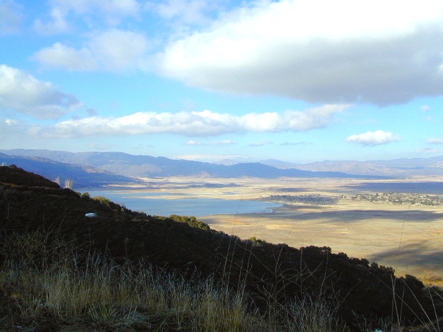
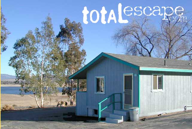
If you are imagining a forested alpine lake near Palomar Mountain, this is not it. Henshaw is a countryside area w/ meadow setting near ranches with open skies and open terrain. Can be windy at times! Can be hot in late summer.
Perfect remote spot for stargazing. Henshaw is the nearest body of water to Mount Palomar & is located on Hwy. 76, but the terrain is quite the contrast to the pine topped mountain nearby.
TREES: Lake Henshaw has very few trees; mostly large open spaces & fields surrounding it. Cattle grazing & rolling hills w/ mountain backdrop. Stargazing and fishing cabins is more fitting of a description. This bare bones basic, little cabin resort offers a true get away from civilization for maximum relaxation close to SoCal cities.
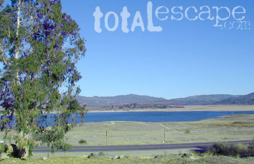
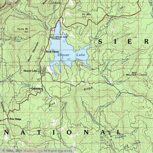
Lake Henshaw specs: elevation: 2740′ surface area: 1137 acres
The majority of California cities are located near sea level, with low lying farmlands and populated coastlines common throughout world geography. California has super diversity w/ the population, as well as the elevation and the terrain. Vast rugged deserts bordering Nevada, from high deserts (8000′ @ Bodie ghost town) to low deserts (below sea level for Mecca) near the Salton Sea. Towering granite peaks with minimal vegetation, to fern canyons and redwood groves at the coast, California has quite the unique landscape.
The beautiful golden state is also home to the highest and lowest point within the lower 48 states; and those points are only about 100 miles apart – Death Valley (-282′ elev) and Mount Whitney (14,494′ elev).
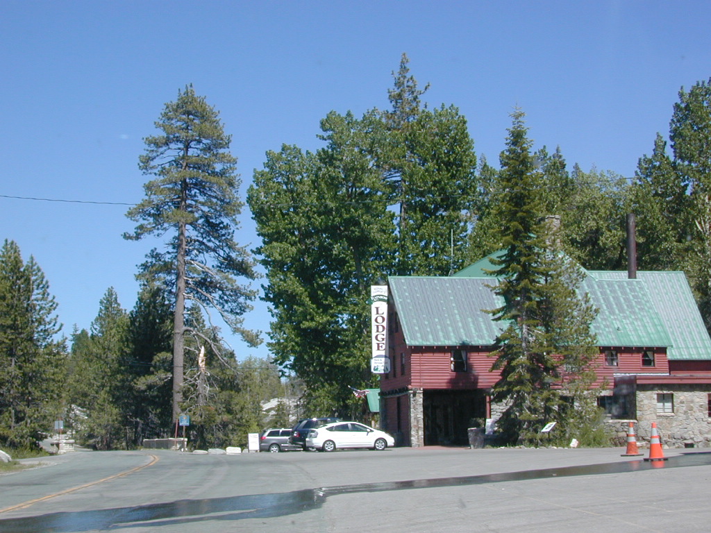
MTN TOWN: upper elevation mountain towns w/ forests and flowing water, are primarily located in the Sierra Nevada range which runs the backbone of California in a north-south direction, separating the Pacific Ocean from the Great Basin. High altitudes are abundant in California, especially in the Eastern Sierra – but most are only accessible by foot.
The coastal mountain range and the Sierra Nevada encompasses most of Central California. The rest of the space is dedicated to large cities, farmlands and farming towns – which are most lower elevation. Orchards and vineyards can be found in the foothills (200′-2000′ elevation)
Northern California has more mountains and rivers, generally higher elevations and plenty more space to explore. Secluded forests, rivers, creeks, lakes, and reservoirs can be found above 2000′ elevation, north of Sacramento. The bigger mountains in the far north part of the state are part of the Cacade Range, which is volcanic in nature. (Mt. Lassen & Mt. Shasta). More water, more trees and more land – NorCal is very different than the lower half of the golden state.
North of Ojai, CA – Highway 33 winds up to Los Padres NF
Pine forests, junipers, sage chaparral, manzanita, joshua trees can be found between 3000-6000′
Hot Springs, creek canyons and cottonwoods are usually discovered above 2000′ elev.
Oak hills, ghost pines, creek beds, river canyons and most agriculture range from 1000-3000′
Under 1000′ elevation is the majority of the populated cities and towns within California; coastline, urban areas, foothills, farmland and a few reservoirs
Snow is always a factor in mid to high altitude towns with road conditions being unpredictable with each mountain range and each micro-climate. Winter months range from late October to May, so be warned. Above 3000′ elevation usually gets some snow. Serious snow above 5000′. Some High Sierra Passesdon’t open until JULY (Yosemite Hwy 120 & Sonora Hwy 108). Carry tire chains or have 4×4 to travel safely on snowy roads. Guard rails are seldom around every curve.

 TREES: Lake Henshaw has very few trees; mostly large open spaces & fields surrounding it. Cattle grazing & rolling hills w/ mountain backdrop. Stargazing and fishing cabins is more fitting of a description. This bare bones basic, little cabin resort offers a true get away from civilization for maximum relaxation close to SoCal cities.
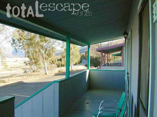


 Snow is always a factor in mid to high altitude towns with road conditions being unpredictable with each mountain range and each micro-climate. Winter months range from late October to May, so be warned. Above 3000′ elevation usually gets some snow. Serious snow above 5000′. Some High Sierra Passesdon’t open until JULY (Yosemite Hwy 120 & Sonora Hwy 108). Carry tire chains or have 4×4 to travel safely on snowy roads. Guard rails are seldom around every curve.