Gold Country RV

camptruck
RV
RVdump

49er RV Ranch
Columbia State Historic Park
Columbia CA
209 532-4978

Angels Camp RV & Camping Resort
3069 Highway 49 South
Angels Camp, CA 95222
209-736-0404
888-398-0404

American River Resort
6019 New River Rd
Coloma, CA 95613
530 622-6700wildflower

Coloma Resort & RV Park
American River
6921 Mt. Murphy Road
Coloma, CA
800 238-2298
530 621-2267

Colusa Sacramento River SRA
Farming Town w/ Fishing
N of Sacramento, CA

Far Horizons 49er Village RV Resort
Plymouth, CA
800-339-6981

Glory Hole Campground
Glory Hole Recreation Area

Gold Country
New Melones Lake, CAcanoe

Golden Pines RV Resort & Campground
Camp Connell, CA
209 795-2820

Harmony Ridge Resort
10492 Harmony Ridge Rd
Nevada City, CA
800 273-0556
530 265-9313

High Sierra RV Park & Campground
40389 Hwy 41
Oakhurst CA
559 683-7662

Columbia State Historic Park
11255 Jackson Street
Columbia CA
209-588-9128

Lake Francis Resort
Northern Gold Country
Dobbins, CA
888 993-7344
530 692-1700

Rollins Lake / Rollins Reservoir –boatramp

Long Ravine Resort
Rollins Lake Campground

530 346-6166

Orchard Springs Campground
530 346-0073

Peninsula Camping & Boating Resort
530 477-9413

melones flora
New Melones Reservoir, Angles Camp, CA

Lake Tulloch RV Campground & Marina
Lake Tulloch
Jamestown, CA
800 894-2267

Plasse’s RV Resort
30001 Plasse Rd.
Sutter Creek, CA 95685
209 258-8814

Scotts Flat Lake Camping
530 265-530

Tuttletown Campground
Tuttletown Recreation Area

Gold Country
New Melones Lake, CA

Willow Creek RV Campground
North Gold Country
17548 Hwy 49
Camptonville, CA 95922
530 288-0646

Yosemite Pines RV Resort & Campground
20450 Old Highway 120
Groveland, CA 95321

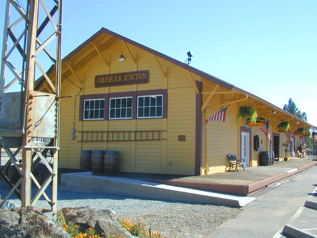
colfaxtraindepot
Colfax Train Depot

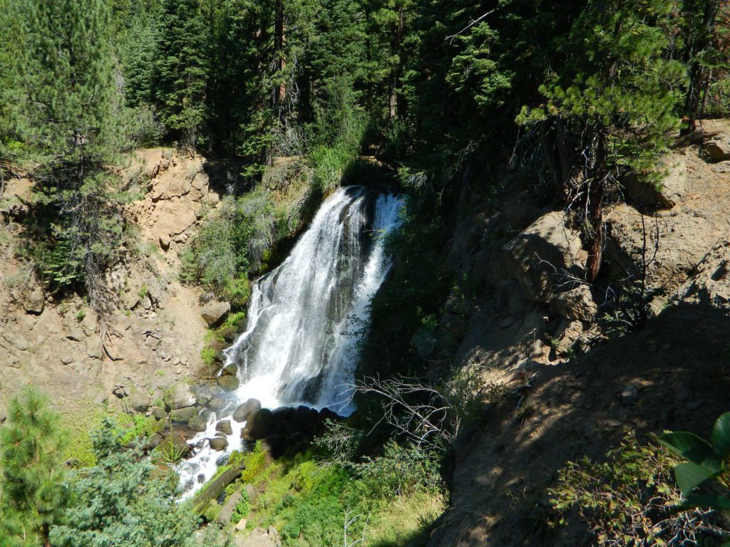
Mill Creek Falls Modoc

mill creek falls

Mill Creek Falls
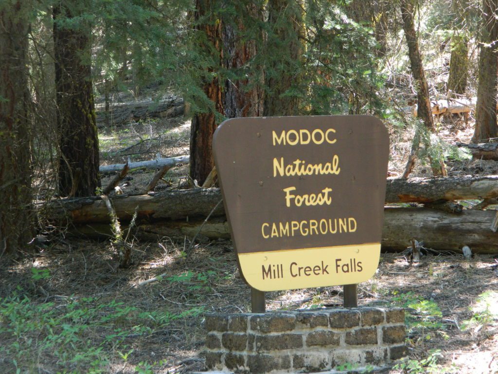
Modoc National Forest

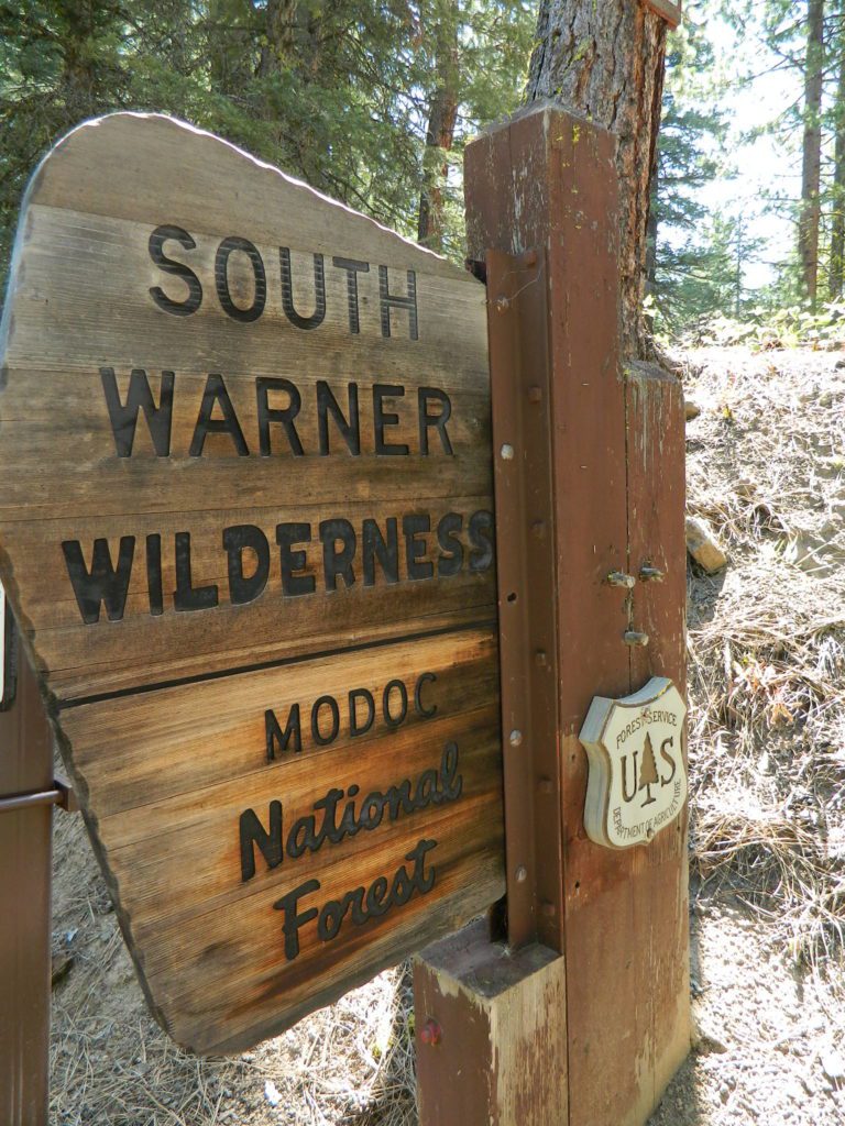
Just found another MILL CREEK in Northern California; a waterfall on the west side of the South Warner Wilderness. Located at the headwaters to the Pit River; about 6 miles east of Likely, CA

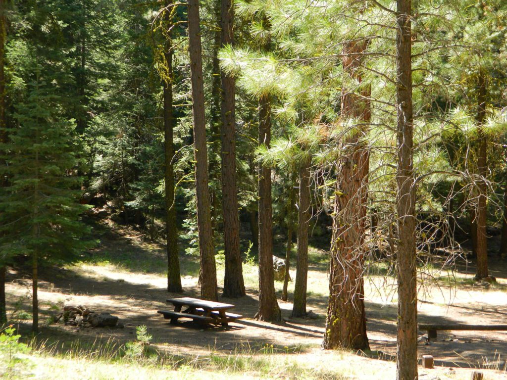
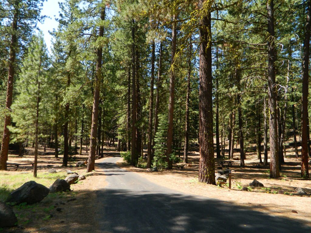
A small developed campground on a wooded slope; with new bathrooms, shady camp sites, a paved loop, and a short hike to the falls.Hiking trailhead leads into the wilderness area for fishing, hiking, lakes and backcountry access.

Open less than half the year, due to winter snow. Campground access off US Hwy 395, via Jess Valley Road #64

Mill Creek Falls Campground NFS

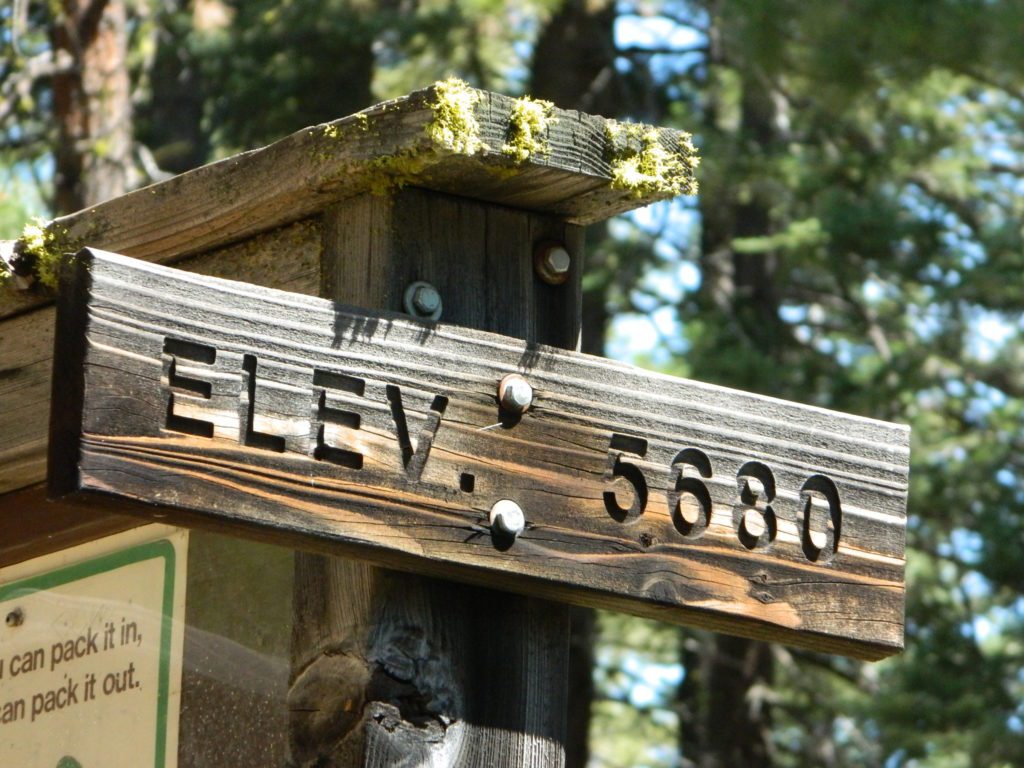
• Elevation: 5,680′
• Number of Sites: 20
• Vehicle Accessibility: RV 22′
• Camp Fee: Yes
• Campsites Reservation: No
• Piped Water: Yes
• Length of Stay: 14 Days
• Season: June – October
• Trailheads: South Warner Wilderness, Clear Lake

millcreek modoc

NFSlogo

Modoc National Forest
Warner Mountain Ranger District
530-279-6116

mill creek falls modoc

paved camp loop

Modoc Blue Lake Campground is also located off  Jess Valley Road.

south warner sign

Parking area for day use hikers and overnight backpackers. Hiking trail to waterfall is a short, half mile hike.

Clear Lake is further upstream, above the falls. If you want to find swimming holes, below the falls – then head down river from camp.

elevation 5680

see more MILL CREEKS in California


Wishon Reservoir

Lake Wishon – Sierra NF

Western Sierra Nevada Lake
Central Sierra California
lake wishon

East of Fresno, CA
East of Shaver Lake

EB from Fresno, Hwy 168 up to Shaver, w/ another 30+ miles on paved backroads
(Dinkey Creek Rd & then McKinley Grove Rd)
Way, way back, beyond Dinkey

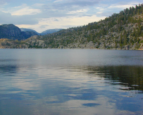
You gotta really wanna BE at places like this. Magical High Sierra mountains – California’s finest. Sheer beauty surrounds this lake w/ granite domes, granite cliffs, granite trails, forests, peaks and plenty hiking, fishing, water and boating. It does take planning (way ahead) to make it out here, cuz the area is only accessible during summer months. Typical of high altitude lakes, snow buries them annually and the roads get closed off to the public (usually NOV-MAY is winter). Some backcountry routes become snowmobiling trails during winter, and the Sierra National Forest has plenty of great snomo action (if snow is deep).

Wishon Lake, California
elevation: 6600′

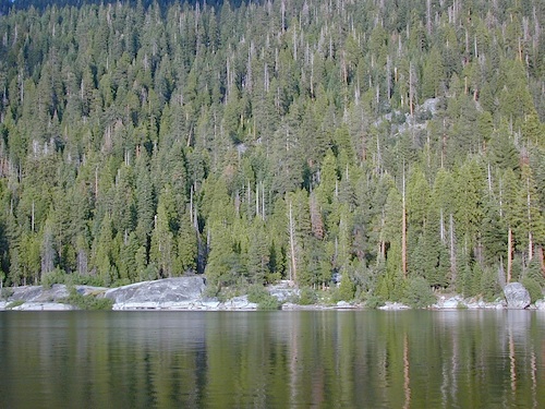
High Sierra Granite Reservoir with pines trees and rocky, granite shoreline. Not nearly as amazing as its cousin w/ the domes to the north, Courtright, Wishon has less granite & less wind, but more accessible backroads to explore, plus more car camping options. Both lakes are part of the Helms Creek hydro-electric project (dams) that make up the PG&E water infrastructure out in these parts – The Kings River Drainage System.

Backpacker trailheads, Woodchuck, Rancheria & Crown Valley all lead to dead end dirt roads – with nothing but solitude for miles & miles. Some might be passenger car accessible. Winter weather changes dirt road conditions (often).

The Kings River Geological Area is nearby, as well as both the John Muir Wilderness & Dinkey Lakes Wilderness.
Wishon Sierra Nevada

Large Reservoir with 8,000-10,000′ high sierra mountain peaks surrounding. Pine forests, views, fishing, camping, hiking in every direction, secluded dirt roads. Perfect high elevation trailheads, next to John Muir Wilderness. Great for backpackers!

All boating, but no waterski or jet ski.
One public boat ramp. Fishing boat rentals available.

WARNING: Water level changes daily.


lake area recreation:

Backpacking
Boating
Campground Camping
Dinkey Lakes Wilderness
Fishing
Hiking
Horse Pack Trips
John Muir Wilderness
Mountain Biking
Primitive Camping
Sierra National Forest
Snowmobiling the Sierras
Spanish Lake 4×4 Route
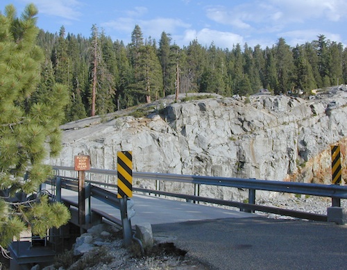
bridgewishon

Wishon is a summer vacation paradise for trout fishing, hiking, backpacking and back road exploring.

CLOSED FOR WINTER: NOV-APRIL = Snow closes the road for winter. For all you hardcore campers and hikers, you must call ahead to see if roads are open. It is rural forest, well traveled, but snow storms will shut everything down out here (for many months). Although, in some mild winters you can drive as far as Dinkey Creek on pavement. Gates are locked beyond that.

Central Sierra Wishon Lake Camping

LilyPad Campground @ Wishon Lake

Upper Kings Group Campground (by reservation only)

helpful numbers:

High Sierra Rangers Office: 559-855-5355
Pineridge and Kings River Ranger Districts
29688 Auberry Road, Prather, CA 93651

Dinkey Creek Ranger Station
(June thru September)
559-841-3404

Wishon Village RV
66500 McKinley Grove Road, Shaver Lake, CA 93664
559-865-5361
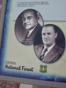
Engineering

Other places nearby


Black Rock Lake
Sierra Forest Road #11S12
Courtright Lake
Dusy Ershim 4×4 Trail

Dinkey Creek Campground
Dorabelle Campground
Gigantea Campground
McKinley Sequoia Grove
Sawmill Campground (dirt road)

Free, primitive or open camping abundant on the dirt backroads in Sierra National Forest. 4 wheel drive is not required for most routes, but a high clearance rig would help. Some gravel roads are graded annually and suitable for passenger cars – during summer months and only for about the first mile or two, off of the main road (pavement). Mud and snow are common on backroads!
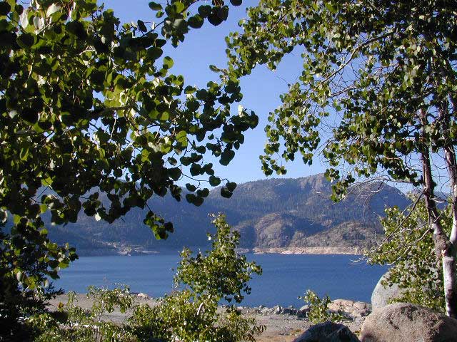
Aspens @ Wishon, Western Sierra
nearby towns:
Fresno, CA
Huntington Lake
Lakeshore
Pine Flat
Prather
Shaver Lake
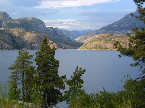
 

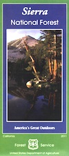
Sierra National Forest Map
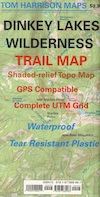
Dinkey Lakes Map
Dinkey Lakes Map
John Muir Wilderness Trail Maps Sierra Nevada Topo Map

Wilderness Wishon California

wish on

NOT TO BE CONFUSED WITH:
Wishon in Giant Sequoia & Wishon @ Bass Lake

There is another popular camp spot called Wishon Camp – on the Western Divide Highway, much further south in the Sequoia National Forest.

Wishon Campground on the Tule River in the Giant Sequoia National Monument. Just up from Springville, CA

And also, the Bass Lake Wishon; there is another WISHON Campground at popular Bass Lake, South of Yosemite NP.

Sardine Lake California

Sardine Lake California Camping

Lakes Basin California, Northern Sierra

Lakes Basin Recreation Area

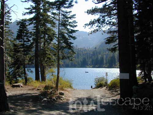
The granite spires of the Sierra Buttes (8591′) tower above both Upper & Lower Sardine, making for a glorious backdrop to these two lakes. This is a popular fishing lake with no swimming allowed. The water is so clear that at noon you can see to the bottom!fish
There are numerous, super-scenic, small lakes in this region and one trip here is not nearly enough. Total Escape rates this collection of small lakes up there w/ the ‘best hiking lakes’ in California. The Pacific Crest Trail runs through this awesome lakes area, which is located north of Truckee, east of Downieville.

backpacking
boating
camping
canoeing
fine dining
fishing
hiking
granite peaks
kayaking
mountain biking
off-roading
stargazing
waterfalls
wildflowers


snowmelt lake snowmelt lake snowmelt lake
high elevation means snow

Plumas Co Road #24 is the Gold Lake Road, also referred to as the Gold Lake Highway – which skirts the lakes, the buttes and connects Historic Gold Country Hwy 49 to Graeagle Golfing @ Hwy 89. SNOW CLOSES THIS ROAD, but the area remains open for winter recreation.camp

SARDINE LAKE ROAD, a paved turn off the main road. NFS Campground is located one mile from the shore at Lower Sardine. Sardine Lake Resort rents cabins and the restaurant serves dinners w/ lake view!

fishing lake Gold Country Lake hiking trailheads National Forest Service Developed Campground

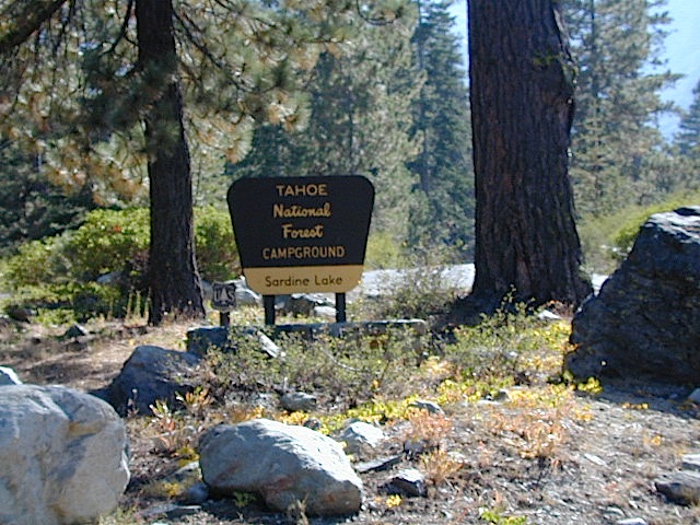
Sardine Lake Campground

• Elevation: 5800′
• Number of Sites: 29
• Vehicle Accessibility: RV 22′
• Campsites Reservation: Yes
• Camp Fee: Yes
• Facilities: piped water, vault toilet
• Length of Stay: 14 Days
• Season: June – October
• Trailheads: Sierra Buttes & PCT

sardine campground sign

National Forest Service Rangers Quarters

Sardine Peak Lookout
SARDINE PEAK FIRE TOWER LOOKOUT (NFS)
Built in 1935, a three story enclosed tower with external stairs. 2019 – No longer available as an overnight rental. (elevation 8138′)

panoramic

Upper Sardine Lake California

Upper Sardine Lake: Takes only a short hike to get to. This is a pure glacial bowl; the rock plunges straight into the water, no beach at all. Great fishing; ice-cold swimming.

local contacts for this lake:

Sardine Lake Resort
530-862-1196

Row boat rentals on Sardine Lakecanoe
530-862-1196

Canoes rentals on nearby Packer Lake
530-862-1221

Plumas County Visitors Bureau:
800-326-2247

Plumas National Forest Rangers:
530-862-1368

Sierra County Visitors Bureau:
800-200-4949ranger

nearby towns:
Downieville, CA
Graeagle, CA
Sierra City, CA

nearby lakes:
Gold Lake
Sand Pond
Packer Lake

maps of the region:
Lakes Basin Map USDA
NatGeo Sierra Buttes Map
Plumas National Forest Map
Tahoe National Forest Map

California Locations

La Porte Road
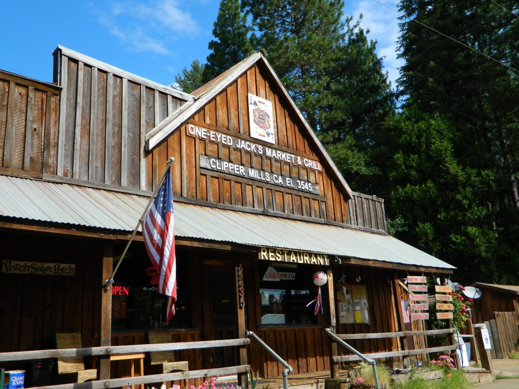
One Eyed Jacks Market & Grill – on La Porte Road. Clipper Mills, CA

Abundant on California Locations

califrepublic

depot desert
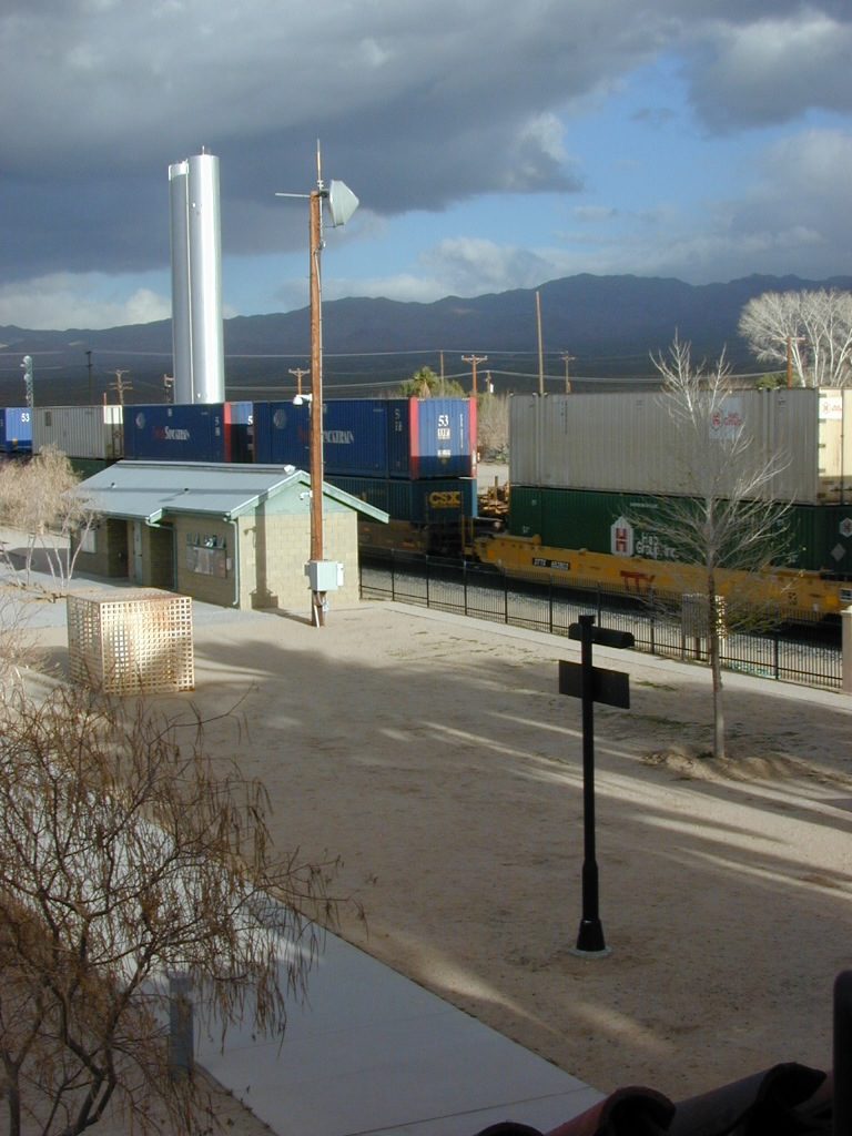
Kelso Depot, Mojave National Preserve

train

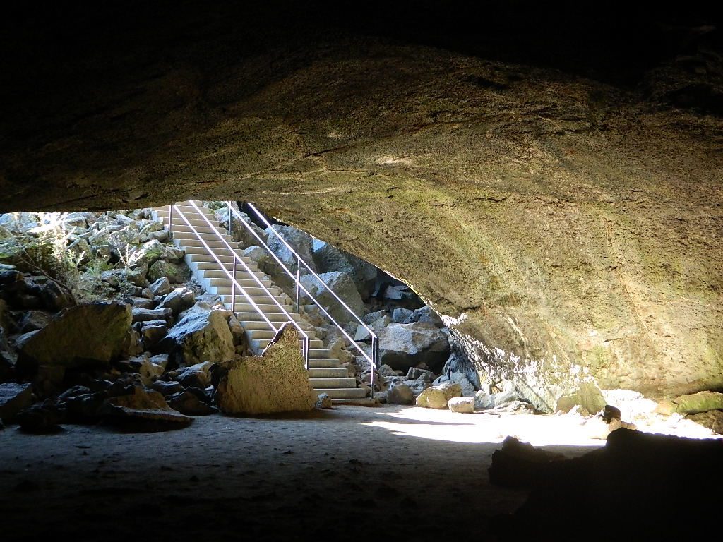
Subway Cave California

ranger

bridge kings
Kings River, California

hiker

kongsberg_town


Campgrounds in Mendocino

Mendocino Campgrounds

Camping in Northern California / Camp Mendo

foutspicnic

2018 & 2019
Hit especially hard by wildfires recently. Certain campgrounds and roads are closed to the public, due to the significant fire damage.

Mendocino National Forest has an abundance of small campgrounds and 4×4 camps, many of which, due to snow & elevation, can only be accessed in summer months. Many developed campgrounds are located on dirt roads, so know the road conditions before you get out there.

NOTE: all camps 2000′ elevation or lower are OPEN ALL YEAR LONG
Red text for OHV = off road use, dirt bikes, quads, 4x4s, trailers.

campground elev spots veg toilet water notes
Atchison Campground 4300′ 6 mixed yes creek road# 22N11
dispersed
Bear Creek Campground 2000′ 16 yes creek CLOSED
Cedar Camp Campground 4300′ 5 pines yes no No trailers, June-Oct
Davis Flat Campground 1700′ 28 vault no Fouts Springs OHV
Deer Valley Campground 3700′ 13 yes no Upper Lake
OHV
Dixie Glade Campground 3700′ 8 mixed yes no CLOSED
Eel River Campground 1500′ 16 oaks vault piped bike trails
Fouts Campground 1700′ 11 mixed vault piped Fouts Springs OHV
Georges Valley Campground 5000′ 3 no no Yolla Bolly Wilderness
Green Springs Campground 6000′ 4 pines yes spring Yolla Bolly Wilderness
Hammerhorn Lake Campground 3500′ 9 pines vault piped 1 handicap spot
Howard Lake Campground 3500′ 12 vault lake high clearance vehicle
Kingsley Glade Campground 4500′ 4 vault piped June-Oct
Letts Lake Campground 4500′ 44 no CLOSED
Little Doe Campground 3600′ 13 pines vault no June-Oct
Little Stony Campground 1500′ 8 pines vault no OHV trails
Lower Nye Campground 3300′ 6 mixed vault no May-Sept
Middle Creek Campground 2000′ 12 yes no Upper Lake
OHV
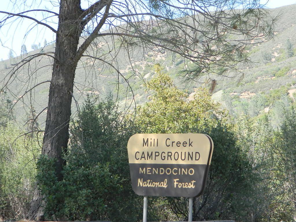
Mill Creek Campground 1700′ 5 yes no Fouts Springs OHV
Mill Valley Campground 4200′ 16 vault piped OHV trails
Navy Camp Campground 1800′ 20 vault piped PG&E Camp @
Lake Pillsbury
North Fork Campground 1700′ 10 oaks yes creek Snow Mountain
Oak Flat Campground 1700′ 12 pines yes no Lake Pillsbury
Old Mill Campground 3700′ 10 pines yes no narrow road
Plaskett Meadows Campground 6000′ 35 pines yes piped Plaskett Ridge
Penny Pines Campground 3600′ 5 pines yes piped Upper Lake OHV
Pogie Point Campground 1900′ 50 oaks yes piped Lake Pillsbury
Soldier Ridge Campground 6000′ 3 no no Yolla Bolly Wilderness
South Fork Campground 1700′ 4 vault creek Stony Creek, OHV
Sugar Spring Campground 5400′ 3 vault no Burnt Creek / Eel River
Sugarfoot Glade Campground 4200′ 4 mixed vault creek May-Nov
Sunset Campground 1800′ 54 mixed vault creek May-Nov
Surveyor Camp 3900′ 2 yes no OHV, Rd# 7
Sycamore Grove Camp 300′ 30 mixed yes no Red Bluff,
open all yr
Three Prong Campground 4800′ 6 pine vault piped June-Oct
Wells Cabin Campground 6300′ 15 pines vault piped July-Oct
Whitlock Campground 4300′ 4 mixed vault piped June-Oct

OFF-ROADERS NOTE: 3 OHV camps are located in higher elevations; the rest are 2000′ or lower and open year round. Always check with National Forest for road closures and conditions.

Mill Creek Camp @ Mendo
Mill Creek Camp @ Fouts Springs

Mendocino Ranger Stations can be found on link below

NFSMendocino National Forest


MENDO GROUP CAMPGROUNDS
(reservations required)

GRAY PINE GROUP CAMP @ Stonyford

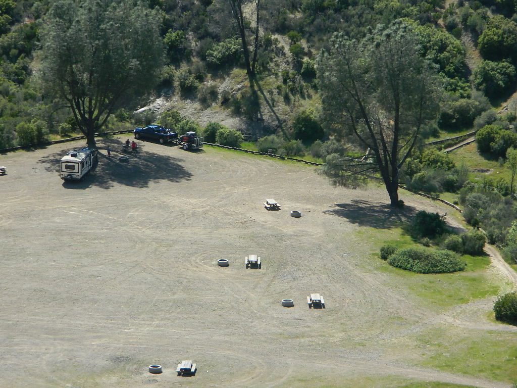
MASTERSON GROUP CAMP @  Plaskett Lakegroup campground

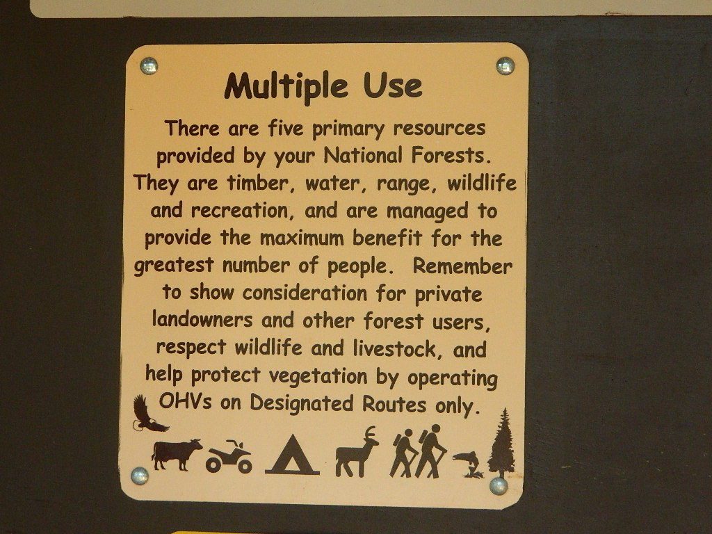
multiuse_sign

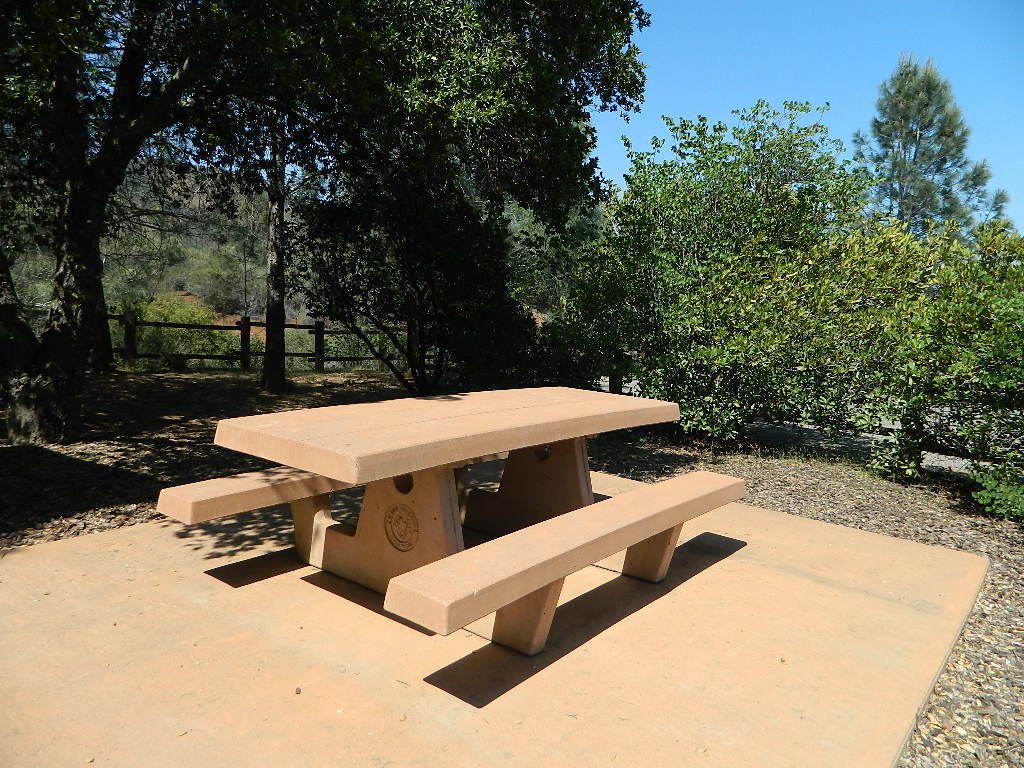
cement_table

group camps Mendocino

Mendocino & North Coast Maps

Kern River Campgrounds

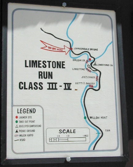
limestonerun

Kern River Campgrounds – NFS

canoeSequoia National Forest Campgrounds
Kern River, Southern Sierra Nevada

All the developed campgrounds listed below charge an overnight fee. Some are open year round, while others close for winter. Few are walking distance to the market, some may have piped running water, and garbage collection. Most have paved loop driveways and can accommodate large RVs. All campgrounds have bathroom facilities.

kern campgrounds California NFS Kern RVing

Upper Kern River
North of Kernville, California

campground

elev

spots

veg

toilet

notes

Fairview Campground

3500′

55

mixed

vault

Upper Kern; RV 45′

Gold Ledge Campground

3200′

37

mixed

vault

Upper Kern; RV 30′

Headquarters Campground

2800′

44

alder

vault

Kern River; RV 27′

Hospital Flat Campground

3000′

40

alder

vault

Kern River; RV 30′

Limestone Campground

3800′

22

mixed

vault

Upper Kern; RV 30′

gold ledge lupine
Gold Ledge – blooming Lupine in Springtime

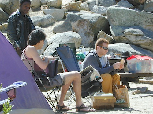
fishNo day use parking lot inside the campgrounds. Park outside the camping grounds for recreation: fishing, hiking, mountain biking, rafting or wildflowers.

This entire canyon is dedicated to outdoor recreation w/ very few residential streets. Southern Sierra Nevada mountains – the whole Kern River area draws a lot of traffic from its proximity to Southern California.

headquarters kern

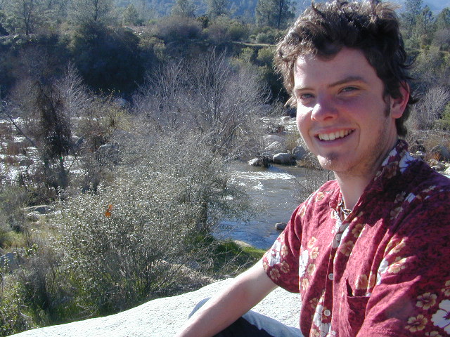
eriklovinglife
Outdoors, enjoying lIfe


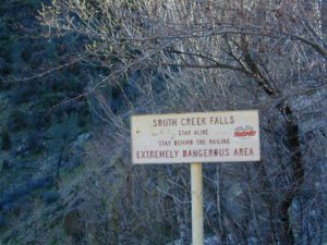
South Creek Falls
South Creek Falls

RV campgrounds campgrounds hiking fishing campgrounds mt biking campgrounds

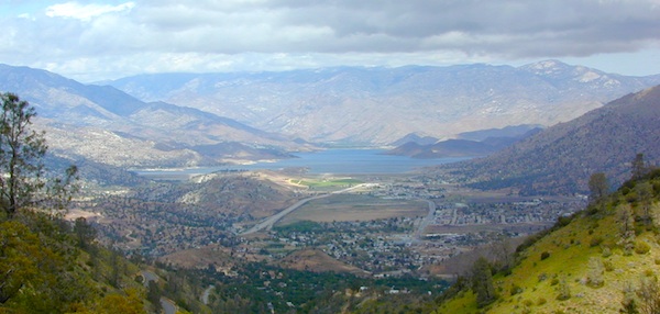
Lake Isabella
Lake Isabella, Kern Canyon California

Lower Kern River
South of Kernville, California

Granite Boulders

campground

elev

spots

veg

toilet

notes

Sandy Flat Campground

2300′

38

mixed

vault

open all year

Hobo Campground

2300′

35

mixed

vault

2019 closed due to landslide

NFS
Sequoia National Forest
Kernville Ranger Station
760-376-3781

Additional Info on Kern Camping –

Kern Flats Camping: Free Camps
Lake Isabella
Keyesville OHV

North Meadow

Big Meadow Sequoia 

dirtbikescamp hiker

Kennedy Meadows, South Fork of Kern River
Chimney Peak Backcountry Byway
Dome Land Wilderness

Kern River Canyon
Kern River Hot Springs

Road’s End Resort
(destroyed by wildfire 2002)

Forks of the Kern
Lloyds Meadow Road #22S82

kernrvcamper