Wild Animals in Bako

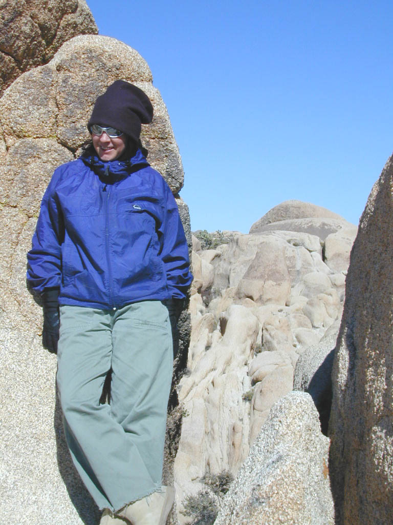
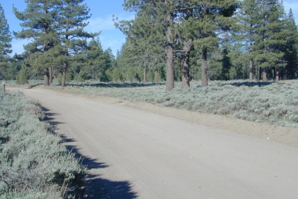
One of the scariest experiences of my life. In route to a camping trip to the Sierra. Driving northbound we stopped in Bakersfield CA Friday night to see family, on the way up to Kings Canyon. Pulled into McDonalds for some cholesterol and sugar. The dining room was closed, so we opted for the drive-thru.

When we got to the drive-thru window, we gave the cashier girl our cash.  A few minutes later I wondered what the heck was taking so freakin long. As I leaned forward in my seat to peer into the kitchen, a large black man jumped across the counter with a semi automatic weapon and demand cash. Standing in the doorway, he looked at us and said ” Don’t move, don’t go anywhere and don’t look at me”.

The nervous cashier girl was stuffing money into a bag from the register, while he screamed to ‘unlock the safe’. My boyfriend was in the drivers seat trying to calm me down. Clasping my hand, we were both shaking like a leaf. I knew that there could easily be bullets our way at any second – with the windows wide open. The robber was standing literally six feet from us and waving the gun back ‘n forth. As soon as he got what he wanted, the manager unlocked the door on the opposite side of the restaurant. We floored it and pealed outta the parking lot. Luckily in time, before the homeboys driving the get-away car could get around the building.

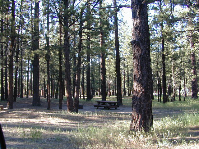
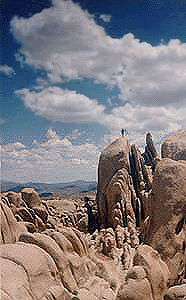
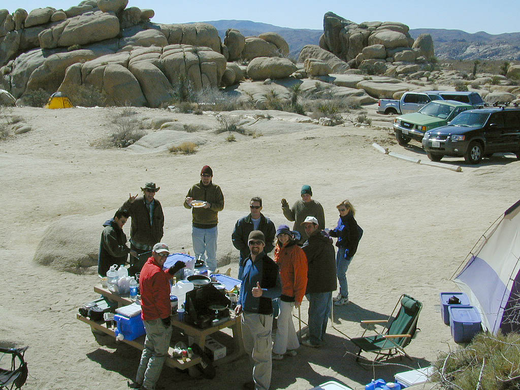
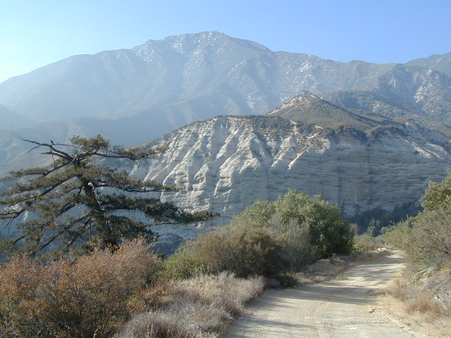
Saw the police zoom by two blocks later. What a way to start a camping trip. Went on our way with the wilderness trip and had a blast. Any kind of wild animals we experienced out in nature were welcomed and mild compared to that hoodloom experience. I’ll take unpredictable mother nature and wildlife any day over city gang bangers and tugs.

califrepublic


If you were indeed looking for the real wild animals in Bakersfield, they can be found, caged up, over at the

CALM ZOO
10500 Alfred Harrell Hwy
Bakersfield, CA 93306

California Living Museum (CALM) was opened to the public in 1983. CALM exists to display and interpret native California animals and plants for education, conservation and research.. CALM operates the most extensive wildlife rehabilitation center in the Southern San Joaquin Valley.

Chuchupate Campground

Lockwood Valley Campgrounds: Chuchupate

Los Padres National Forest, Mount Pinos Ranger District

chuchupate
Forested campground, paved access; Up behind the Lockwood ranger station
campground  elev.
spots
 veg toilet water comment
Chuchupate 6300′ 29 pines vault no open year round

open year round; campground reservations 805-434-1996

Chuchupate Views

Pinyon w/ jeffrey pines, a high desert feel to this mountain side ideal camp – where the Mojave desert merges with the coastal ranges in Lockwood. Up high near the Tejon Pass @ Gorman. Sage brush slopes w/ forested campground is approx. 6 mi. off Lockwood Valley Rd. via paved road #8N04 (also called, Frazier Mountain  Road).

Adequate for RVs, small creeks around this camp provide
decent vegetation. The sites on the outside back loop are best
for shade & seclusion. Good for a base camp for the weekend
& drive out to see the rest of Los Padres National Forest.
For the mtn. biker, this is a prime spot for hitting up the dirt
back roads on Frazier Mtn. Plenty of hiking and nice views
of the valley around too.

chuchu 21
Small campground w/ fee. On forested slopes of Frazier Mountain.

The easy to reach USFS campground can accommodate motorhomes, RVs, camper trailers up to 26 feet long. Paved access road is narrow and curvy and climbs the hill behind the large ranger station on Lockwood Valley Road.

Mt. Pinos Ranger District
34580 Lockwood Valley Rd
Frazier Park, CA
661-245-3731

  • backpack

  • camp

  • hike

  • horseback

  • mountain bike

  • off-road

  • picnic

  • stargaze

8N01
Paved road #8N04 FRAZIER MTN RD – starts @ Lockwood Valley ranger station

also nearby –

lockwood valley snow
Attention fair weather campers: Snow is possible in this location from DEC-APRIL. Call head for local conditions and know weather forecast before you climb the I-5 (Grapevine).

Cherry Creek

tecuya4x4camps
Tecuya Mountain 4x4camps, Los Padres National Forest

4×4 Camps @ Tecuya:
Cherry Creek Camp

Seeking a dark shady hole to spend the night? Then Cherry Creek canyon is choice for a quick overnighter near Frazier Park and the I-5 Tejon Pass. Steep dirt road access will challenge even the biggest skeptic.

  • free campsite
  • 4WD only access

The 4×4 Camp (signed) turn off is along Cuddy Valley Road, on the north side of the pavement – just a few miles west of Frazier Park, inside Los Padres National Forest.

Oak trees and brush clog the dense hillsides. Owls live in this canyon. Deer and wildlife sightings are common – which makes this an ideal hunters camp for those looking to explore on foot.

The canyon gets narrower as it heads down hill (northward) w/ the single track route becoming a blanket of slick dark mud (in the wet months). Without trees on the worst section, making a self-rescue impossible.4x4

Real 4 wheel drive is needed for this camp! All wheel drive vehciles (SUV & sportwagons) should not attempt this location without a tow strap or winch – AND another 4WD vehicle to help out. Yep, seriously. We know, because we had to rescue someone last time we were here.

Camp Hole
Sparse accommodations w/ minimal sunlight reaching this steep canyon
gilbert trooper
High clearance and articulation is a must.

Other 4×4 camps on this ridge include –

  • Pleito Creek

  • Salt Creek

fog is common in winter
Fog is common on this mountain range

Nearby areas include –

towns nearby –

finished
Afterwards, sun burns off fog, right at Cuddy Valley Rd

Holcomb Valley

holcomb valley

On the eastern mountain slopes of Big Bear Lake, Holcomb Creek creates a forested sage valley – called Holcomb Valley, located only a few miles away from the big lake. A graded dirt road leads out to this pine forest & a prime campground area. Perfect location for picnics and sightseeing.

Holcomb Valley Campground
@ Big Bear Lake

campground  elev.
spots
 veg toilet water comment
Holcomb
Valley
7400′ 19 pines vault no Road 3N16,
open year round

National Forest Campground in San Bernardino NF, located at higher elevations.

Although the developed campground is open all year long, please take into consideration that SNOW and mud is the norm for winter months.

Nice shady sites to beat the summer heat. Camp spots spaced out fairly well. Hikers parking lot is located at one end of the campground. Bears are well known in the region, so please lock all food in the provided metal bear lockers.

  • backpacking
  • bouldering (rock climbing)
  • camping
  • cross country snow skiing
  • hiking
  • mountain biking
  • off roading
  • stargazing
  • water recreation @ lake
holcombcamp
CLICK TO ENLARGE

The epic Pacific Crest Trail runs right through the Holcomb Valley. Doble Trail Camp is out this way for PCT parking, next to Holcomb Valley Road #3N16 which encircles this whole forested area inside San Bernardino National Forest.pct

cabin holcomb
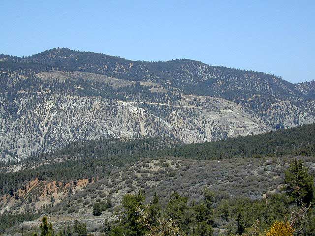
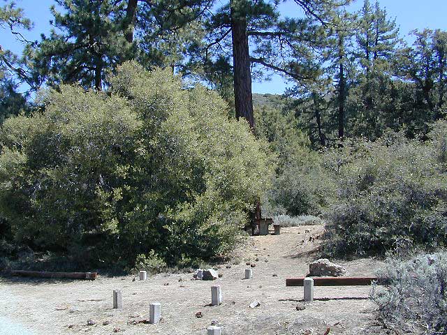
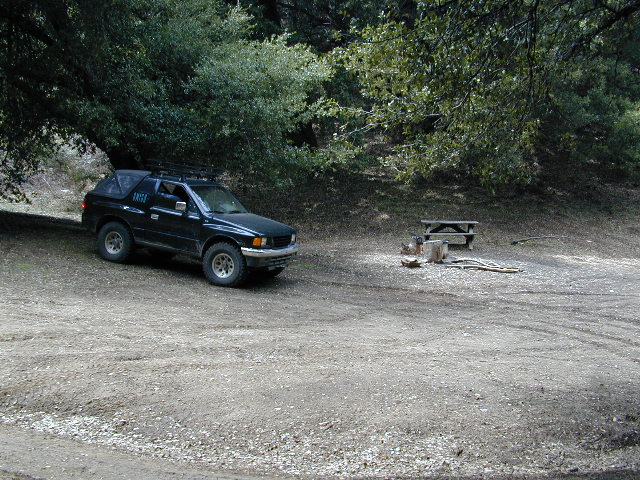
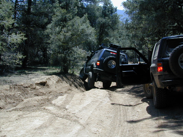
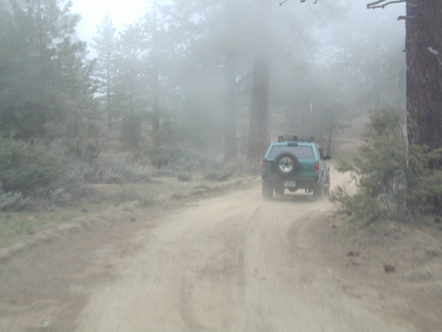
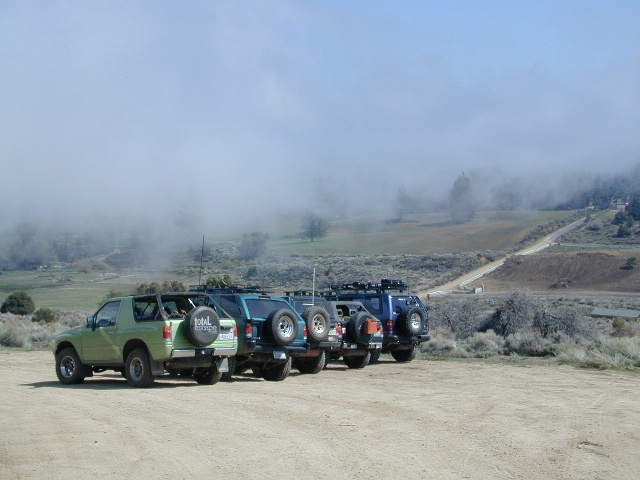
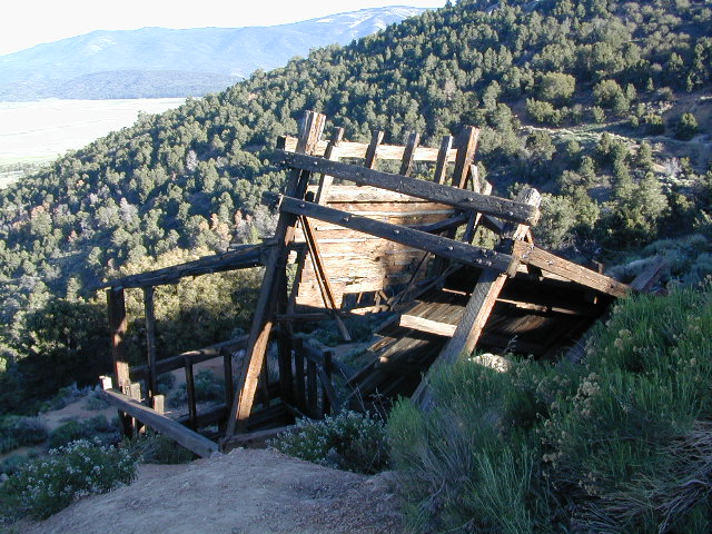
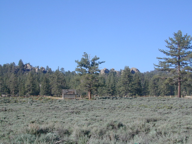
Holcomb Valley has a historic cabin to see. Numerous old mines exist around this area. Nearby Gold Mountain is a popular 4WD route.

The dirt back road leads east down to the high desert @ Highway 162. Down to Pioneertown and Yucca Valley, and eventually Joshua Tree National Park.

holcomb campsites

towns nearby

mine shaft
Old mine shaft back behind Holcomb Valley

Frazier Park Camping

Mount Pinos Camping & Frazier Park Campgrounds

Drum Circle Camp
Mount Pinos Fire Circle Camp Spot
camp5
Gold Hill Campground (which is now closed) – right next to Piru Creek.

camp

Frazier Park and neighboring towns, like freeway-close Lebec and Gorman, is where the Los Angeles hills meet the Kern County mountains. Mojave Desert meets to Coastal Range. EXIT I-5 @ Tejon Pass (elev 4144′)

Wildflower hills, seasonal creeks, forested peaks, high desert canyons. Bike trails, hike trails, off road routes. High elevation backpacking, hang gliding, mountain biking and camping in every direction.

MTB SOCAL
Mountain Bikers love the trails at Mount Pinos.

High desert washes, oak creeks, pinyon pine forests, mountain meadows and numerous peaks – Frazier Peak, Reyes Peak, Alamo Mountain, Mount Pinos, Mount Abel (Cerro Noroeste) and north facing San Emigdio ridge.

Mt. Pinos District:

campground elev spots veg toilet water notes
Aliso Park, Cuyama 3200′ 11 oak pit no Aliso Cyn Rd. (#10N04)
Ballinger OHV Camp 3000′ 20 pinyon vault no Rd# 9N10, Cuyama Valley
Camp-O Alto 8286′ 12 jefferey pit no ridge, Cerro Noroeste
Caballo Campground 5850′ 5 oaks pit no Rd# 9N27, Cerro Noroeste
Cherry Creek 4×4 5200′ 2 oak no spring 4WD trail, Cuddy Valley
Chuchapate Campground 6000′ 30 pines vault piped Rd# 8N04, closed winter
Chula Vista Walk-In Camp 8300′ 12 pines vault no walk-in camps & RV lot
Cottonwood Campground 4600′ 2 ctnwd no creek 4WD only trail, fish
Dome Springs Camp 4800′ 4 oak pit no Rd# 8N40, Lockwood
Dutchman Camp 6800′ 8 pines no no Rd# 7N01, 4WD trails
Half Moon Campground 4700′ 10 pines pit no Rd #7N03, May-Oct
Kings Campground 4250′ 7 pinyon vault no OHV & Piru Creek
Marian Campground 6600′ 5 pine pit no closed in winter
McGill Campground 7500′ 50+ pine vault seasonal mountain biking
Mount Pinos Campground 7800′ 19 pine vault seasonal closed winter
Nettle Springs Camp 4400′ 9 pinyon vault no Rd# 8N06, Apache Cyn
Ozena Campground 3660′ 12 cottnwd vault no Lockwood Rd
Pine Springs Camp 5800′ 12 pinyon pit no Road #7N03
Pleito Campsite 5000′ 2 mixed no no dirt rd access, dispersed
Rancho Nuevo 3550′ 2 mixed no no river crossing
Reyes Creek 4000′ 30 oaks vault yes creek camping
Reyes Peak Pine Mt 5200′ 6 pines none no ridge camping
Salt Creek 4×4 3000′ 2 mixed no no 4WD only
Sunset Campground 4300′ 2 cottonwd no no Lockwood / Piru Creek
Thorn Meadows 5000′ 5 pine pit no Rd# 7N03C, horse corral
Tinta Campground 3600′ 3 pinyon pit no river crossing
Toad Springs Camp 5700′ 5 pinyon pit no Rd# 9N09, Quatal Cyn
Twin Pines Camp 6600′ 5 pine vault no Dry weather only
Valle Vista Camp 4800′ 7 mixed pit no condors, new toilet

See Mount Pinos Recreation Campgrounds only

Group Camping Sites in Los Padres Forest

Hiking Pinos Signs
Mount Pinos – Peak to Peak hike.

Maps of Los Padres NF –nettle spring camp

Los Padres mountain towns –

DSCN0043

Toad Springs Campground atop Quatal Canyon. Small camps located in Los Padres NF have no fees, and often no toilets – so bring the shovel.

Many dirt roads are gated seasonally for wet weather or snow. Call rangers to find out which routes are open before you plan your weekend. Or have a plan B and C camp site ready if route is closed. Flashfloods, thunderstorms, and erosion means you may all-of-a-sudden need to use your 4WD. This is the mountains after all. UNpredictable weather is common.

frazier park camping

Primitive Camping in Quatal Wash, next to the OHV Route and the Chumash Wilderness

PeaktoPeak
Peak-to-Peak Hike: the toughest climb you’ll do, this decade.


White Tank Campground

White Tank @ Joshua Tree

quiet camp

Joshua Tree National Park
White Tank Campground

desert hikers and rock climbers
love this small camp

hiker

whitetank

White Tank & Belle campgrounds are the smallest camps Joshua Tree National Park has to offer. On the east side of park both campgrounds are located half a mile from one another.

This Southern California desert lunar-scape National Park is more popular & crowded because of the proximity to major urban areas. The south east side of the park entrance station, Cottonwood, is the least busiest gate.

  • bouldering
  • camping
  • hiking
  • stargazingawesome rocks


From the town of 29 Palms (on Highway 162) take National Park entrance South on Gold Park Rd. At intersection with Loop Rd. (do not turn right) Go straight through onto El Dorado Mine Rd. about two miles drive leads the 2 campgrounds.

camp

Joshua Tree National Park
760-367-5500
760-367-7511

breakfastclub

campground  elev. spots  veg toilet water fee
White Tank  3800′ 15 josh vault none no

joshes

chair4marc
In the years between 2000-2005  founder of Total Escape, DanaMite, lead several guided camping trips to Joshua Tree and liked this specific area the best.

desert

danarocks

Campground San Bernardino

whitecliffs

Big Bear – San Bernardino National Forest Camping & Campgrounds

areas include:
Big Bear Lake, Fawnskin, San Gorgonio, Lake Arrowhead, Forest Falls, Green Valley Lake & Idyllwild

Listed below are all the San Bernardino National Forest campgrounds, public lands for outdoor recreation. SoCal campground reservations can be booked online with the linked campsites below.

Big Bear Campgrounds near Big Bear Lake & Fawnskin area

campground elev spots veg toilet water notes
Applewhite Campground 6800′ 42 pines vault piped disabled access, RV 30′
Barton Flats Campground 6300′ 52 pines vault shwrs disabled access, RV 45′
Big Pine Flats Horse Camp 6800′ 17 pines vault piped Way back 3N14, year round
Cold Brook Campground 7000′ 36 pines vault piped RV max 25′
Crab Flats Campground 6200′ 29 pines vault piped 3N16, Green Valley Lk
Dogwood Campground 7000′ 90 pines vault piped disabled access, RV 22′
Green Valley Campground 7000′ 37 pines vault piped Green Valley Lake
Hanna Flat Campground 7000′ 88 pines vault RV max 25′
Heart Bar Campground 6900′ 94 pines vault seasonal Hwy 38, equestrian
Holcomb Valley Campgr 7400′ 19 pines vault no Rd 3N16, year round
Horse Springs Campgr 5800′ 17 pines vault no Rd 3N17, year round
North Shore Arrowhead 5100′ 27 vault piped disabled access
Pineknot Campground 6400′ 48 vault piped disabled access, RV 45′
San Gorgonio Campground 7000′ 54 pines vault shwrs Hwy 38, disabled, RV 43′
South Fork Campground 6400′ 24 pines vault piped Hwy 38, RV max 30′

site12

San Jacinto Campgrounds near Idyllwild area

campground elev spots veg toilet water notes
Black Mountain Group 6000′ 16 pines pit piped group site
Boulder Basin Campground 7300′ 34 pines pit piped CLOSED
Dark Canyon 5800′ 22 pines pit piped CLOSED
Fern Basin Campground 6000′ 22 pines vault piped Rd# 4S02
Marion Mountain Campground 6400′ 24 pines vault piped Rd# 4S02
Pinyon Flat Campground 4000′ 18 pinyon vault piped bighorn sheep, year round
Santa Rosa Springs Camp 7000′ 3 pines pit no no RVs, Toro Peak
Thomas Mountain Camp 6800′ 6 mixed vault no no RVs, Rd 6S13; Lk Hemet
Tool Box Spring Campground 6500′ 6 mixed vault piped no RVs, above Lake Hemet
Toro Campground 7800′ 5 pines pit no Santa Rosa Wilderness

Southern California Camping see also –

Topo maps, wilderness hiking maps, Equestrian trails, OHV maps –

SoCal mountain communities include:

Big Bear Campsites