
Yuba California
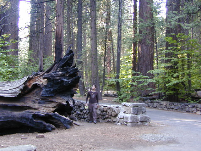
Yuba county, city and river are located in the upper Sierra Nevada, north Gold Country. Only a few small towns around here, but lotsa National Forest land and gorgeous granite rock. Yuba City is well known for its orchards, agriculture and diverse population. Yuba River is a recreation hot spot most of the year – spanning from the foothill canyons up to higher elevation alpine lakes. Camping, kayaking, fishing, camping, hiking, swimming holes & waterfalls.
California Yuba County
Yuba River, Sierra Nevada
towns near the Yuba River:
Yuba City, California
Marysville, CA
North San Juan
Nevada City, California
Downieville, California
Sierra City, California
Truckee, California
Washington, CA
North Bloomfield
Bassetts

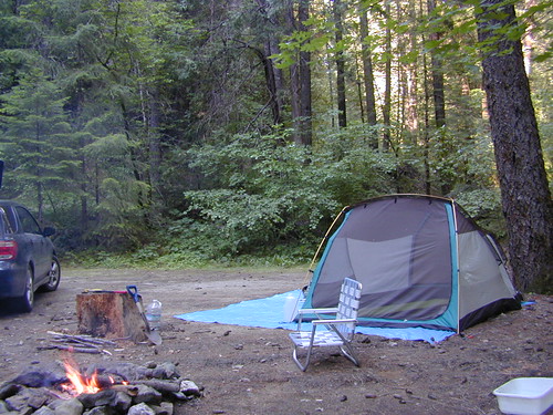
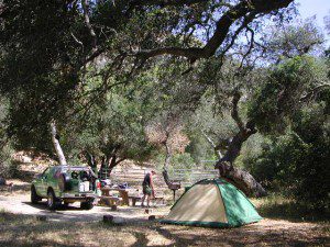
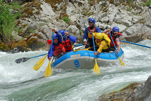
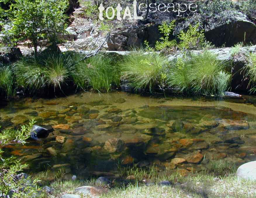
SUMMER = River Recreation
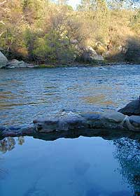
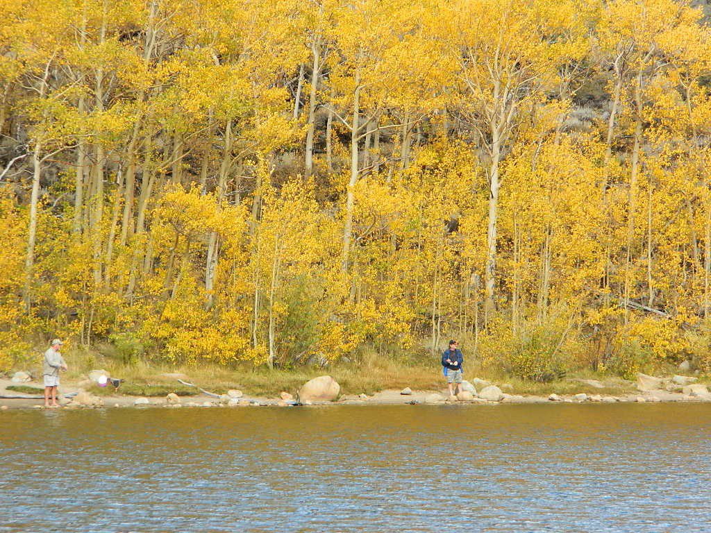
Most of us want to dunk ourselves in a cool mountain stream when the temperatures get beyond 100 degrees, which is summer months in Central California. Big rivers, like the Yuba are popular spots for all kinds of outdoor recreation and they really draw the crowds. Find your own piece of solitude by getting a good topo map of the region and exploring well away from the main road.

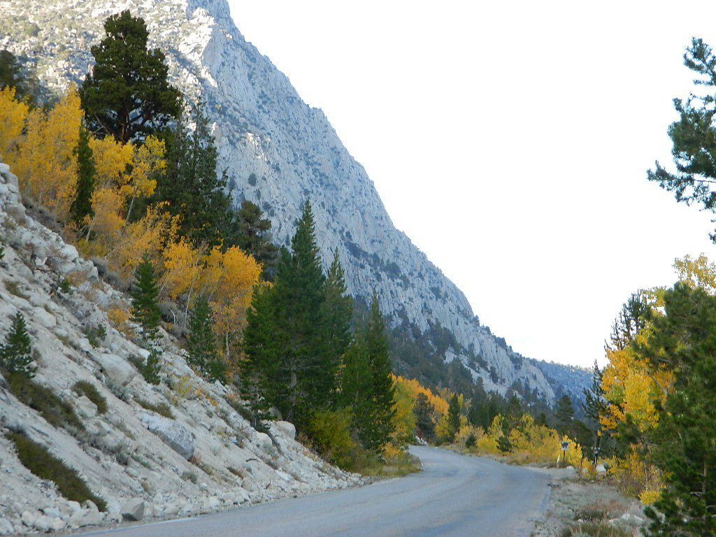
This Yuba River gold country region of the Sierra Nevada mountains, is only about an hour drive up the hill from Sacramento; obviously, the further you drive the better it gets. Tons of one lane and dirt roads to explore. Fishing and camping almost everywhere.
Tahoe National Forest
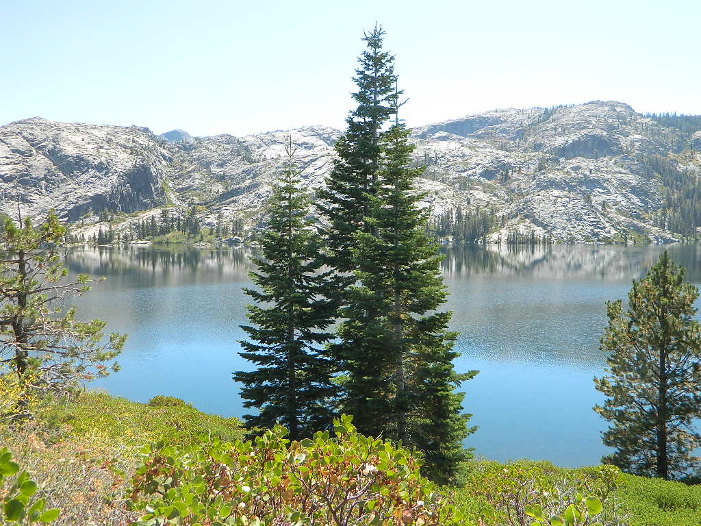
California’s Yuba River headwaters start high in the mountains of the North Sierra. Northern Gold Rush Country.
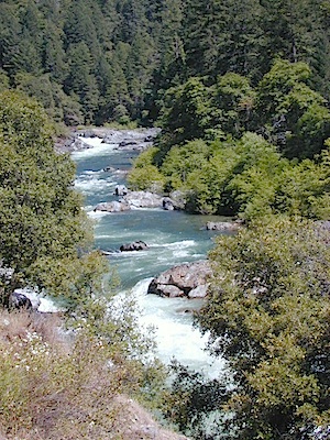
NORTH FORK of the YUBA
Lakes Basin Recreation Area
Sierra Buttes
Gold Lake
Bassetts
Sierra City, CA
Downieville, CA
New Bullards Bar Reservoir
Nevada City, CA

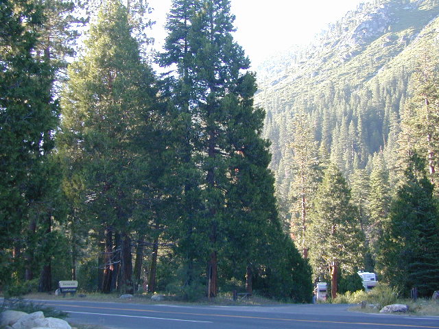
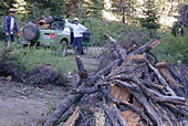
Several NFS Campgrounds, line the North Yuba River right along the Highway 49, between Bassetts and North San Juan, CA
- Wild Plum Campground
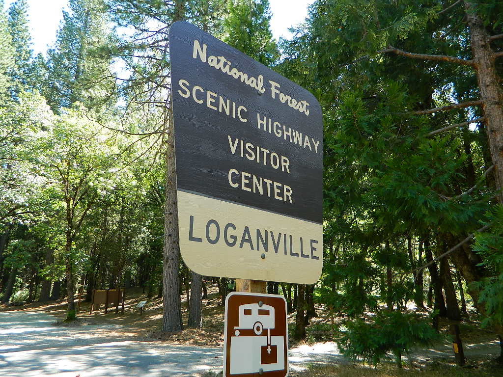
- Loganville Campground
- Union Flat Campground
- Cannon Point Campground
- Ramshorn Campground
- Rock Rest Campground
- Indian Valley Campground
- Fiddle Creek Campground

MIDDLE FORK of the YUBA
This water comes from the rugged and remote Henness Pass area. The long, dirt, historic route Road 293 which connects Reno, NV to the old mining camps along Highway 49 @ Camptonville, south of Downieville.
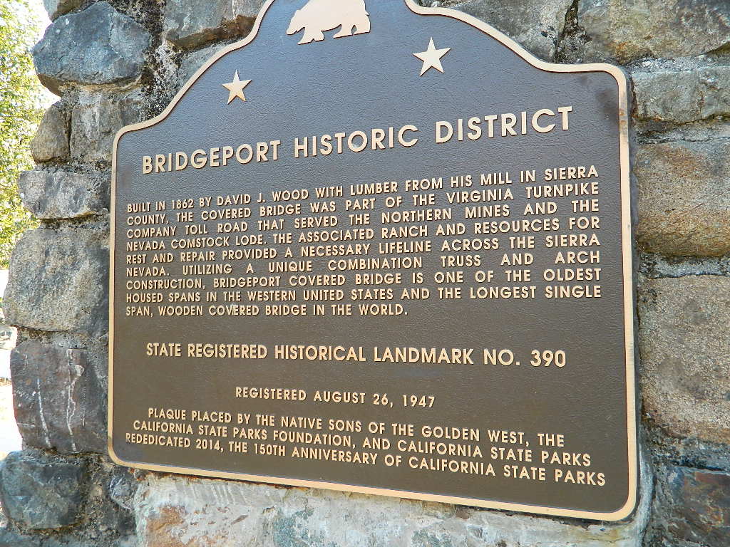
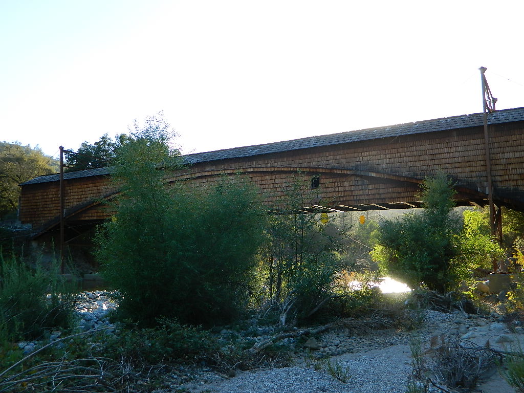
The Oregon covered bridge and the Bridgeport covered bridge run along this fork of the river. There is another State Park down @ Bridgeport; although bridge may be in reconstruction 2020.
A nice place to dip into the this fork of the river – is right off main Highway 49 on Moonshine Road, a secondary road that leads over to Bullards Bar Lake. Minimal parking spots and a steep hike down to the river; and you may have the whole place to yourself (on a weekday morning.)

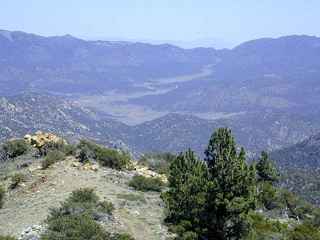
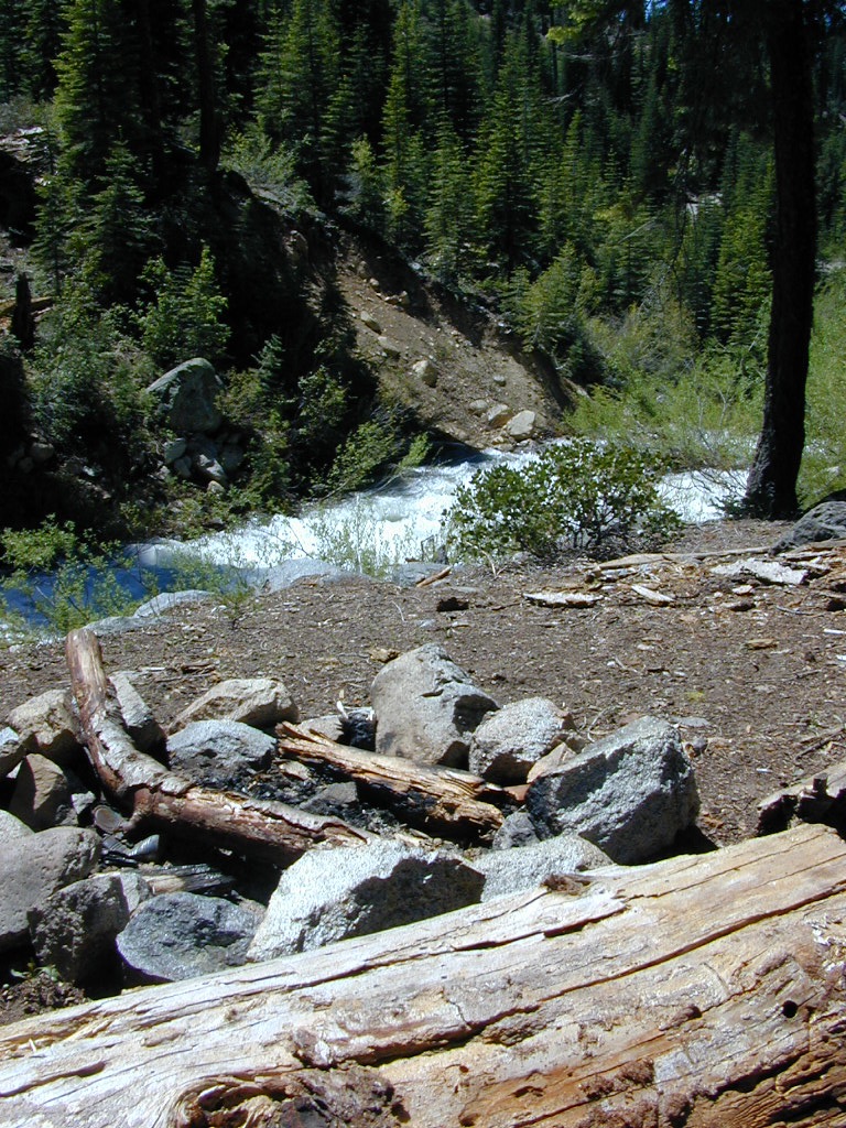
SOUTH FORK of the YUBA
Donner Pass in the Truckee region, North side of Interstate 80. Snowmelt becomes creeks, around alpine lakes like Spaulding, Bowman, which all flow west. Graniteville & Washington, CA
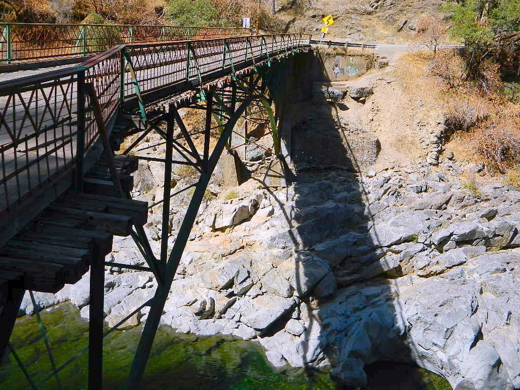
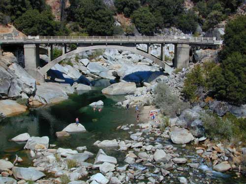
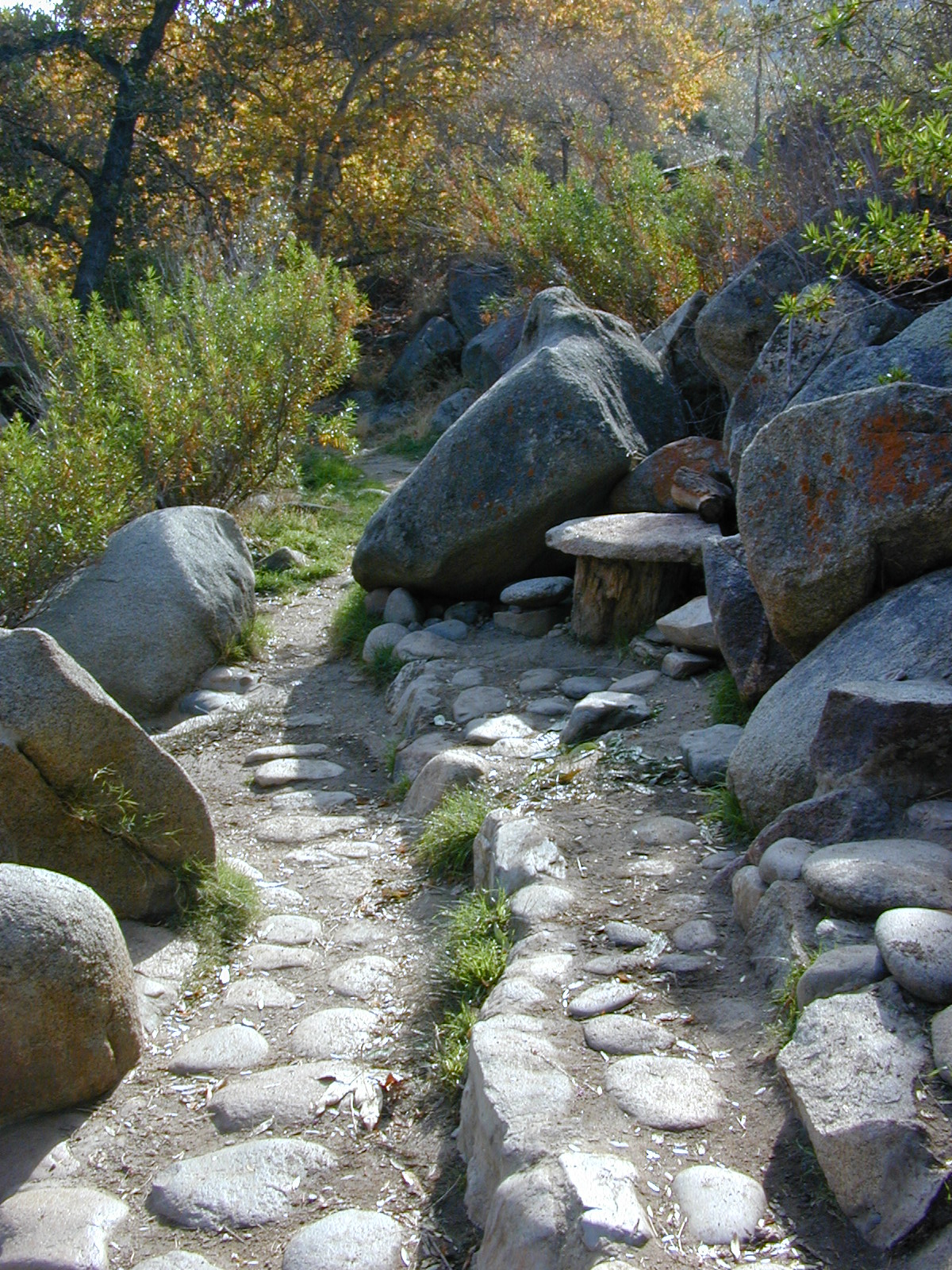
A very popular State Park for South Yuba is located along Hwy 49, north of Nevada City, CA. Many backpacking trails, mountain biking trails and day hiking trails, plus several old bridges (crossings), built before 1900 still exist and in use. Bureau of Land Management has the quietest and cheapest developed campground around these parts, accessible only by dirt road (North Bloomfield Road).
- South Yuba River State Park
- Yuba River Camping BLM
- Malakoff Diggins State Historic Park
- North Blooomfield
South Yuba River Map

Few National Forest Campgrounds are located on the South Fork. Many scenic, small lakes exist up in these higher altitudes, where the best camping is. Granite peaks, numerous creeks, forests and gravel roads.
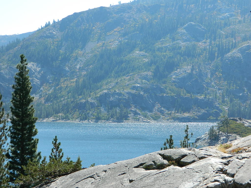
BEAR RIVER, Lake Faucherie, Sawmill Lake and Bowman Lake are all part of this Yuba watershed, along with about a dozen other lakes. Rugged granite gravel rock rocks will lead deep into these areas. 4WD or high clearance vehicle may be needed to reach these destinations.
The whole region gets buried DEEP feet in snow, so access is usually limited to summer and autumn only.


 No developed campgrounds back that way either. No flush toilets, nor paved roads. No flat RV spots; only primitive style camping.


 California is an outdoor recreation paradise, with near perfect
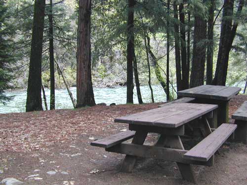


