Road #28E201 – Inyo National Forest
also known as Inyo Road #4S86
Laurel Lakes Road
Inyo National Forest
Eastern Sierra, California
Southeast of Mammoth Lakes, CA
West of Crowley Lake, CA
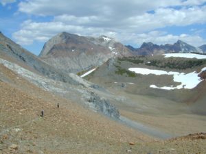
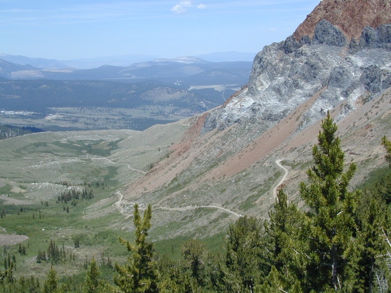
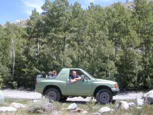
Steep, rocky, gravel road, way up above (and behind) Convict Lake. 4WD may be needed during wet or snowy weather. High clearance is always advised. Locked GATE at the bottom means the NFS rangers have closed the route (seasonally) for deep snow, rock slides, avalanches, or other erosion hazards.
Laurel Canyon, US Hwy 395
Laurel Creek
Laurel Lakes
- backpacking
- camping
- fishing
- hiking
- horseback
- lakes
- mountaineering
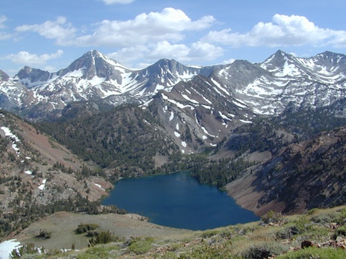
Trailhead to Lake Genevieve (pictured above), hike lake loop, snowy peaks.
NOTE: No easy access to the PCT (Pacific Crest Trail)
Laurel Mountain (elev 11,818′)
Bloody Mtn. (12,544′)
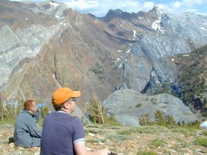
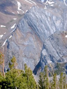
Geologic:
Oldest, exposed rock in the Sierra Nevada mountains range. Buckling granite w/ volcanic rocks. Evidence of glacial activity including, terminal, lateral, and recessional moraines, glacial striations and polish, erratic boulders, and of course the numerous lakes. see more
