 When you go camping, you wanna explore the area. That’s why you are camping there, right? Hiking & biking trails, equestrian trails, off road routes, river, streams, waterfalls & the closest trail heads. If you prefer primitive camping, outside of developed campgrounds without all the amenities, topographic maps of the back roads give you a perfect overview on where to begin your search. The ultimate creek side camp spot awaits.
The California maps we carry have developed Campgrounds featured for that region. These camps could be managed by any government agency, BLM, NPS, NFS, SP or perhaps a private campground. Below is a list of gorgeous regions that have excellent Campgrounds:
CA National Forest Maps
- Anza Borrego Desert State Park Map
- Rancho Cuyamaca State Park Map
- Death Valley National Park Maps
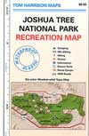
- Joshua Tree National Park Maps
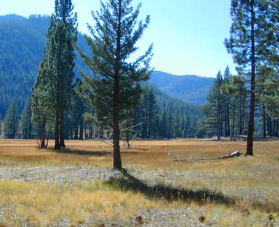
- Lake Tahoe Maps
- Lakes Basin Recreation Map
- Malibu Creek State Park Map
- Mammoth Lakes Map
- Mojave Desert Maps
- Mono Divide High Country Map
- Point Mugu State Park Map
- Point Reyes Map
- San Jacinto Idyllwild Map
- Sequoia National Park Maps
- South Yuba River Map
- Mount Tamalpais State Park Map
- Mount Shasta Map
- Yosemite Trail Maps
- Yosemite Park Maps