

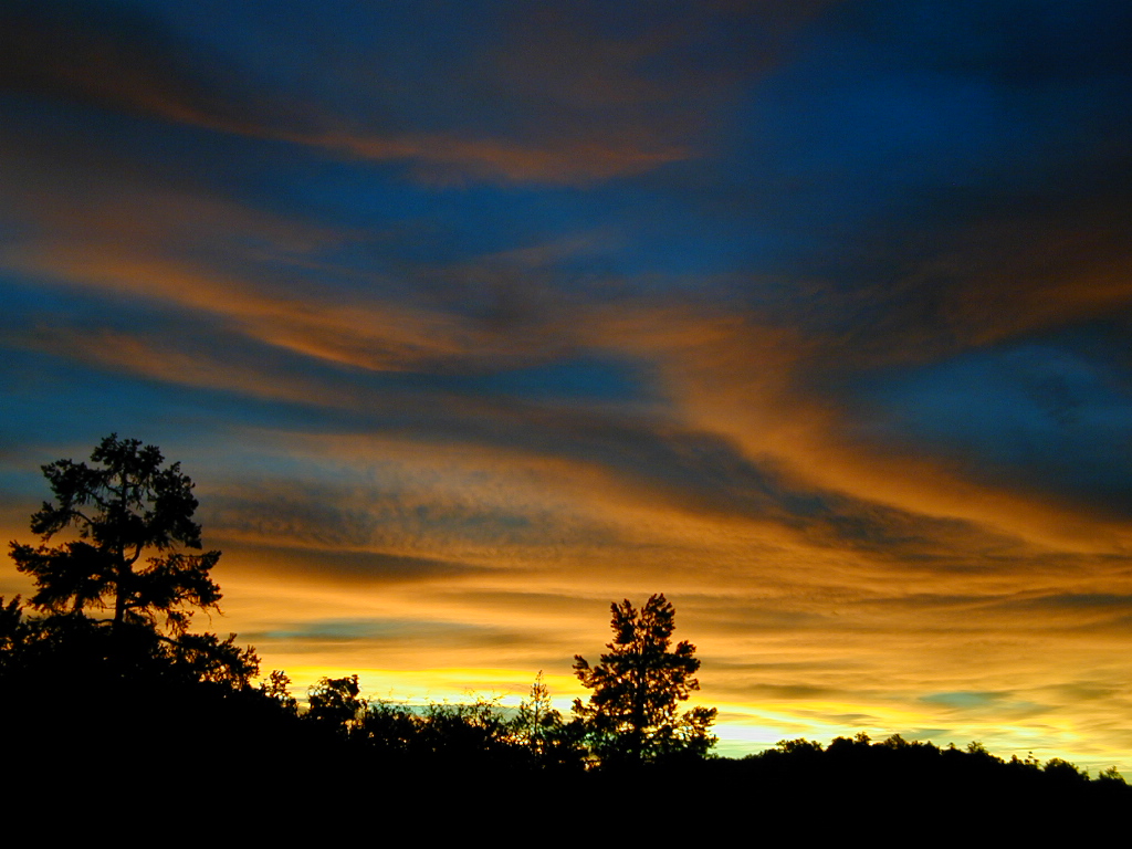
West Coast 4×4 club holds annual trail runs in Panamint Valley.
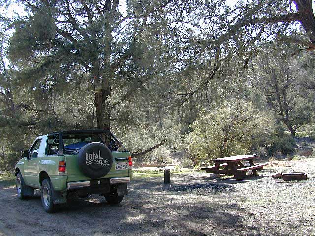
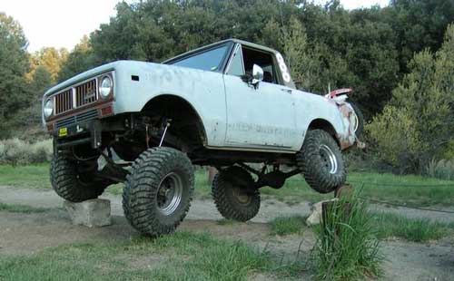
California 4×4 – here is search term popularized by the SUV & the anxious city driver who wants to hit some dirt. Gone are the days when peeling out in the back of the Ikea parking lot adventure. You seek real trails & cool spots & Total Escape is here to deliver.
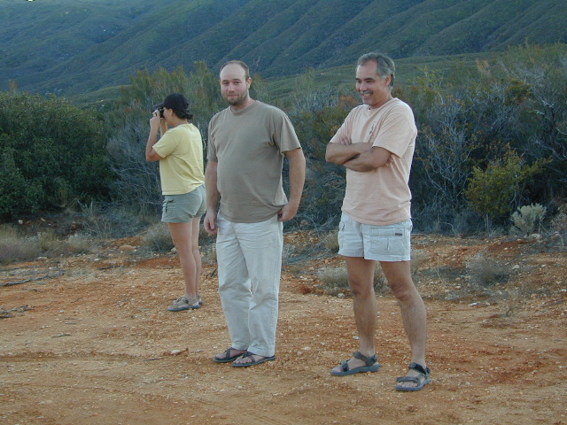
Take your muddy or dusty vehicle to work on Monday (unwashed), just to prove you did something adventurous this past weekend! Once they see the photos, the co-workers will be envious… cuz they watched TV (and wasted 17 hours).
BTW, TV = nothingness
This entire web site was started around California back roads & self guided tours. You finally found us! Gotta get the 4wheel drive SUV into action (at least once per year – so the differential oil wont get like glue) & this web site can help you find the secrets spots of California.
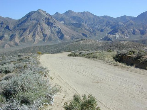
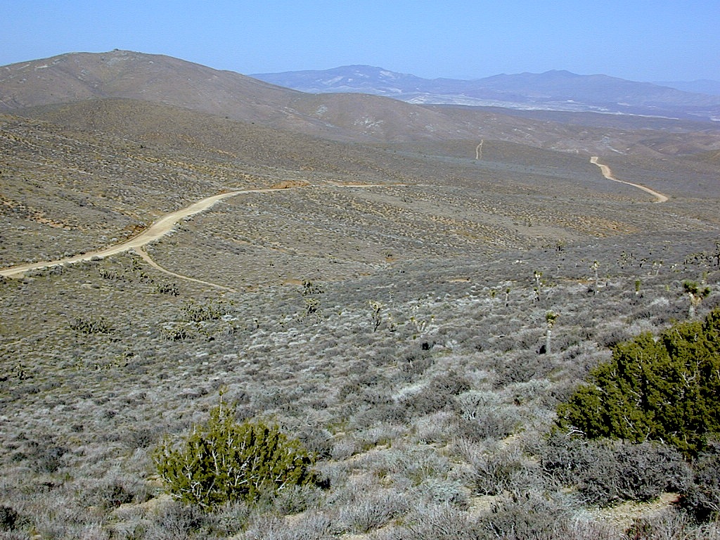
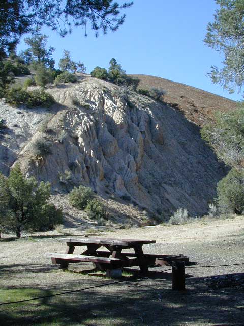
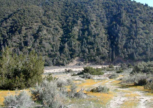
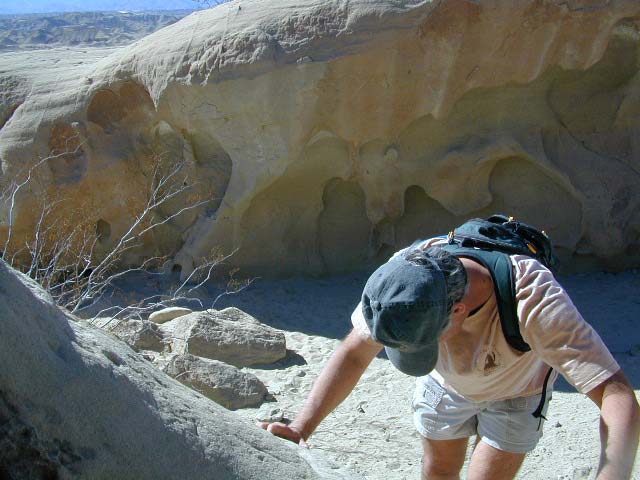
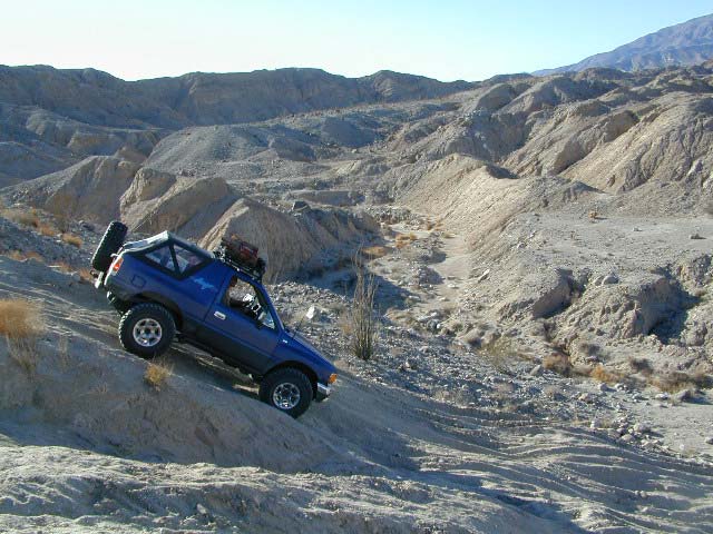
Anza Borrego Desert & Los Padres National Forest has the most 4×4 trails in all the SoCal region. Big Bear forest has some, but the crowds are thick on any given weekend. Angeles has Azusa & Lyttle Creek; Idywild has a few virtually unknown spots. Mojave desert & the Eastern Sierra have plenty to see, volcanoes, ghost towns, old mines, petroglyphs, all reachable with stock SUV. Inyo high country has some incredible sights, but only accessible half the year. You will need 4 wheel drive part time or full time on these trails listed below. AWD doesn’t count! Clearance and 4 wheel traction are key for control w/ rock crawling and deep sand.
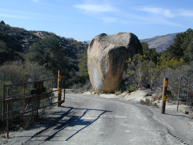
Searching for the extreme, rock crawling, hard core 4×4 stuff, go to the off-road races — or take your time & plan your adventure well. Chances are you’ll need a small team of people to explore these black diamond routes, a good forest map, plus very capable 4 wheelin’ rigs.
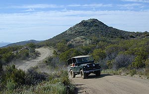
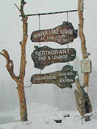
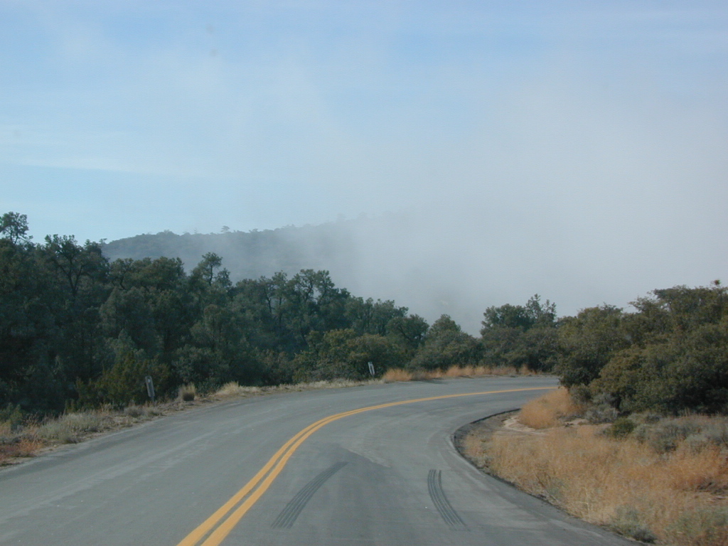
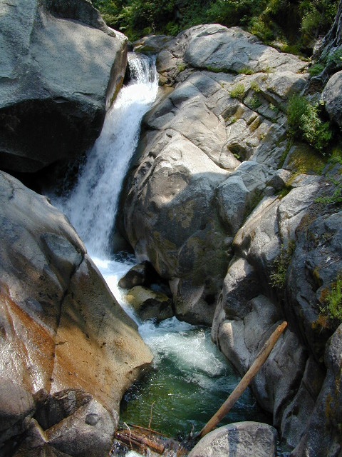
Red Mountain 4×4 Trail near Shaver Lake
Find California 4wheel drive roads below. Some of these routes will require a four wheel low range, with a transfer case. Do not attempt these with a new AWD SUV. Expect body damage on any 4WD trail.
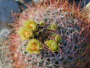
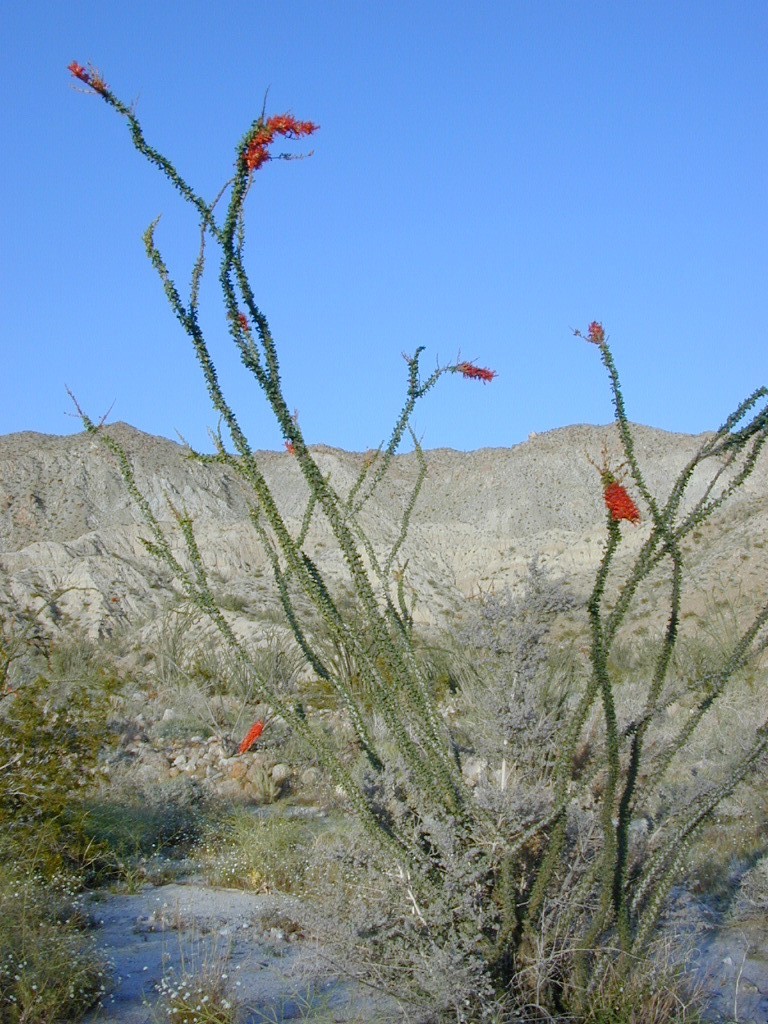
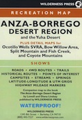
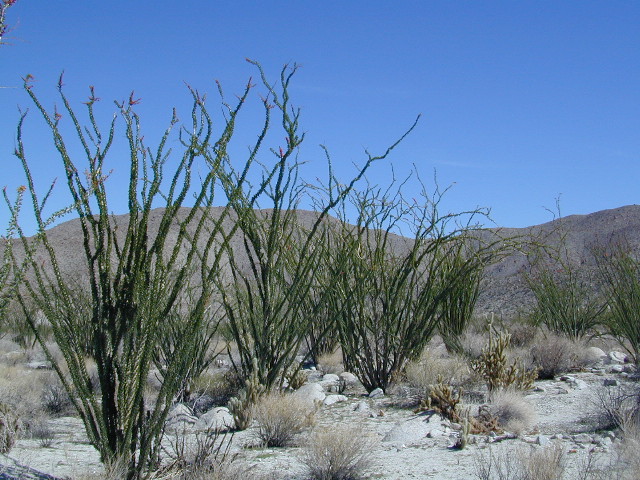
Anza Borrego Desert –
- Culp Valley – Grapevine Cyn
- Diablo Dropoff
- Hills of the Moon
- Ocotillo Wells, Hwy 78 E
- Oriflamme Canyon
- The Squeeze, near Blair Valley
- Truckhaven Hills, S22
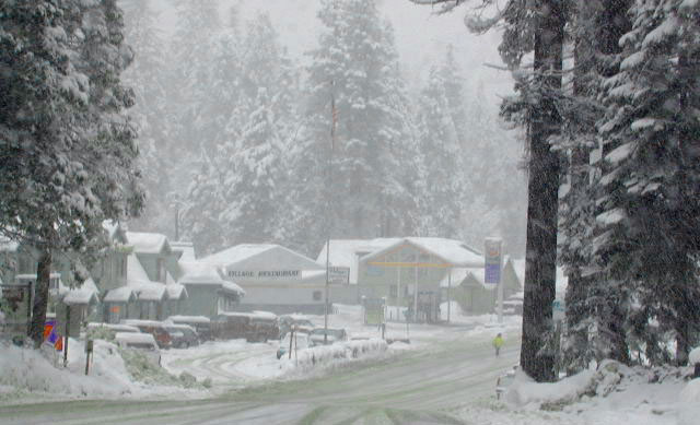
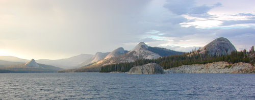
Gold Country & Sierra Nevada 4×4 trails –
- Bald Mountain Trail, Shaver Lake CA
- Coyote Lake, Shaver Lake CA
- Dusy Ershim OHV Trail, Courtright Lake
- Onion Springs Trail, Lake Edison CA
- Red Mountain Lake, Shaver Lake CA
- Rock Creek OHV Area, Georgetown CA
- Rubicon 4×4 Trail, Sierra Nevada
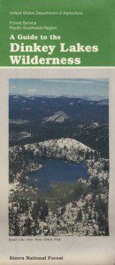
- Sierra National Forest
- Spanish Lake OHV, Wishon Reservoir
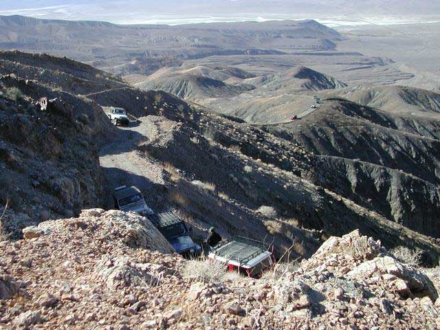
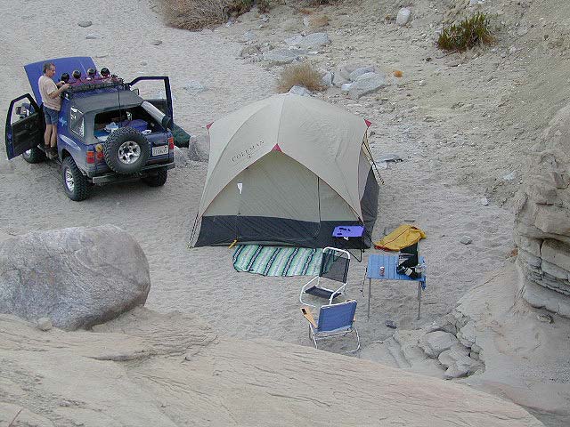
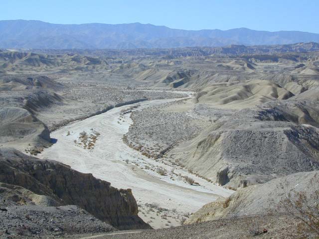
Death Valley 4×4 Camps –
- Barker Ranch, via Goler Canyon
- Hunter Mountain, Death Valley NP
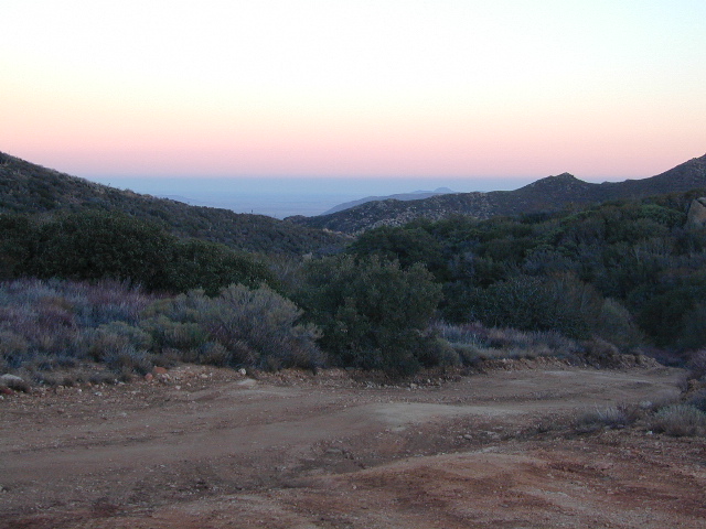
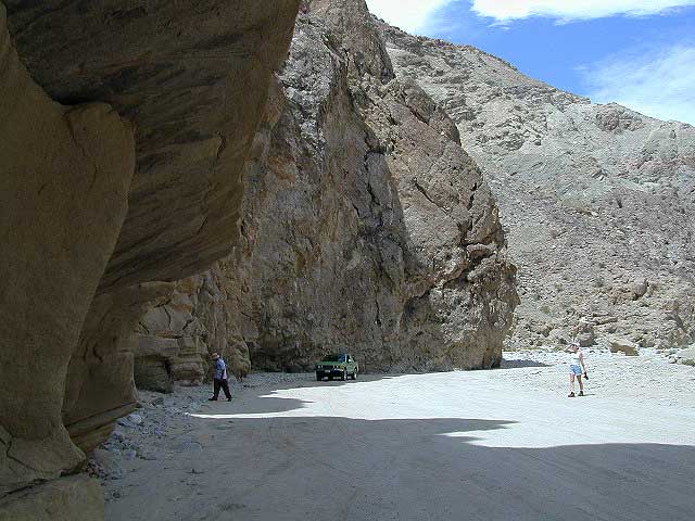
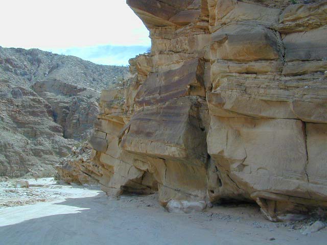
- Panamint Valley & canyons
- Saline Valley Road, N Death Valley
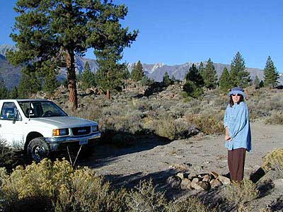
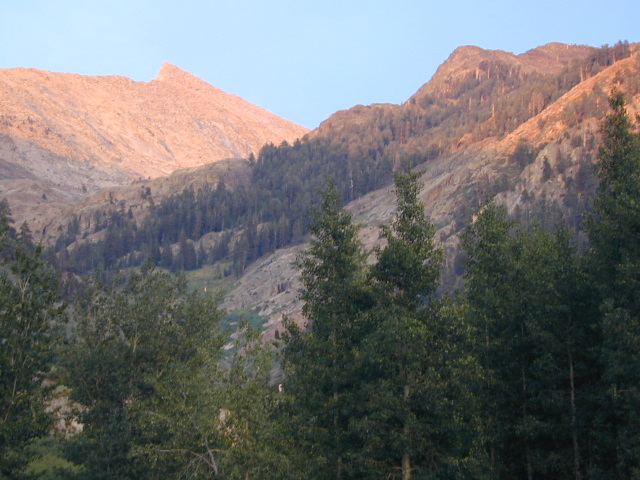
Inyo NF 4×4 trails –
- Cerro Gordo ghost town
- Cottonwood Canyon, Ancient Bristlecone Pines
- Coyote Flats & Coyote Lake Rd, Bishop CA
- Saline Valley Rd, near Darwin CA
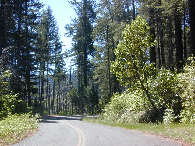
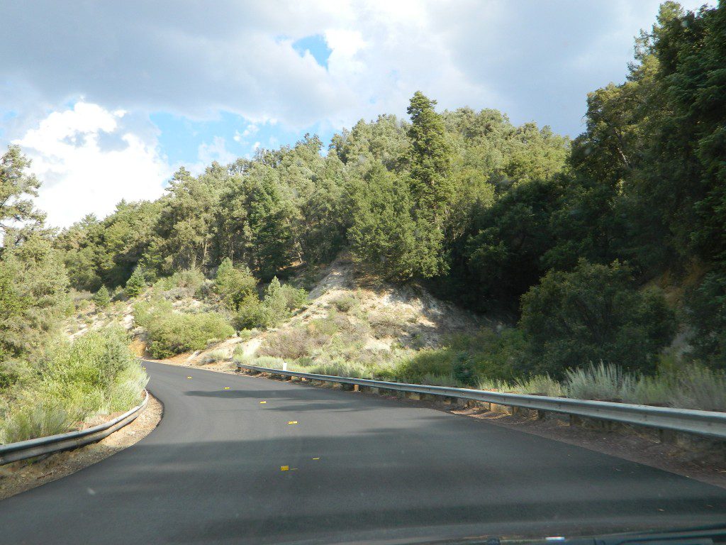
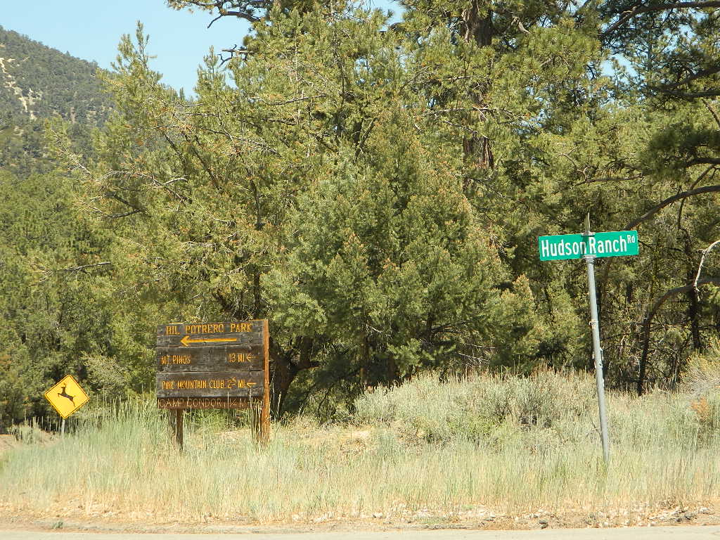
Los Padres NF 4×4 trails –
- Miller Jeep Trail, Lockwood Valley Road, Frazier Park, CA
- Cherry Creek, off Cuddy Valley Rd, Frazier Park, CA
- Salt Creek, off Cuddy Valley Rd, Frazier Park
- Santa Barbara Canyon, Cuyama Valley, Ventucopa, CA
San Berdu NF 4×4 trails –
- John Bull Trail, near Big Bear Lake CA
- Deep Creek Trail, near Skyforest Lake Arrowhead CA
- Gold Mountain Trail, near Big Bear Lake CA
- Pipes Canyon, near Big Bear Lake CA
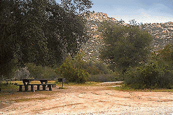
San Diego 4×4 Trails –
- Los Coyotes Indian Reservation, Lake Henshaw
- Valley of the Moon, Jacumba CA
Now, not every road is gonna need 4×4 all the time. Most of the dirt back roads can easily be passable in a 2WD in dry months, but forget that in winter or any good rain storm. Total Escape has compiled a huge list of Southern California Back Roads, for your viewing pleasure.
California off road maps –
- California Forest Service Maps
- Baja California Maps
- Death Valley Maps
- Mojave Desert Maps
- Inyo National Forest Map
- Jawbone Canyon Map
- OHV 4×4 Trail Maps
- Randsburg Desert Trail Map
- San Berdu Mountains Maps
- Big Bear Trail Maps
- San Diego Backcountry Map
- Anza Borrego Desert Map
- Sequoia Kern Canyon Map
- Stanislaus National Forest Map
- Rock Creek Map (Eldorado)
- Tahoe Forest Map


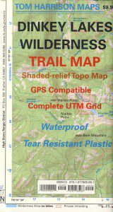


 Ishi Wilderness Map


