map river | hiking river | map gorge
California Rivers & River Topo Maps

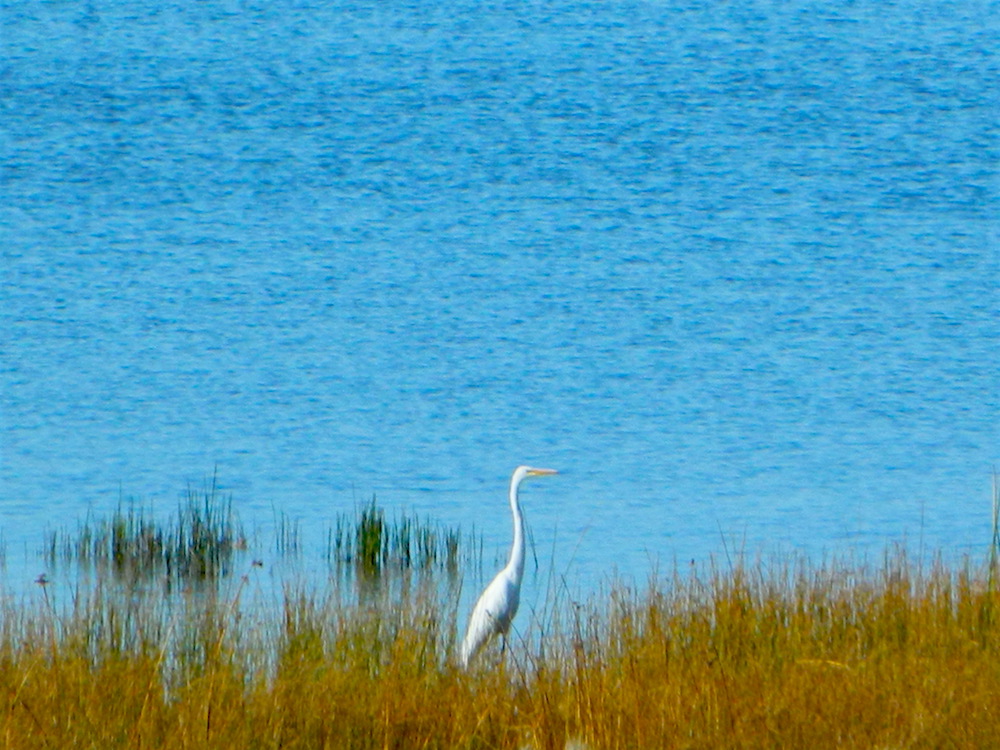
There are many gorgeous rivers in California that are perfect for camping and fishing, but none are located in Southern California. None! Yep, you read that right. If you think about it, the golden state is about half desert! The majority of our natural water in our state is coming from the north – so take this as a warning: you might need to drive a few hours to find your ideal river camp.
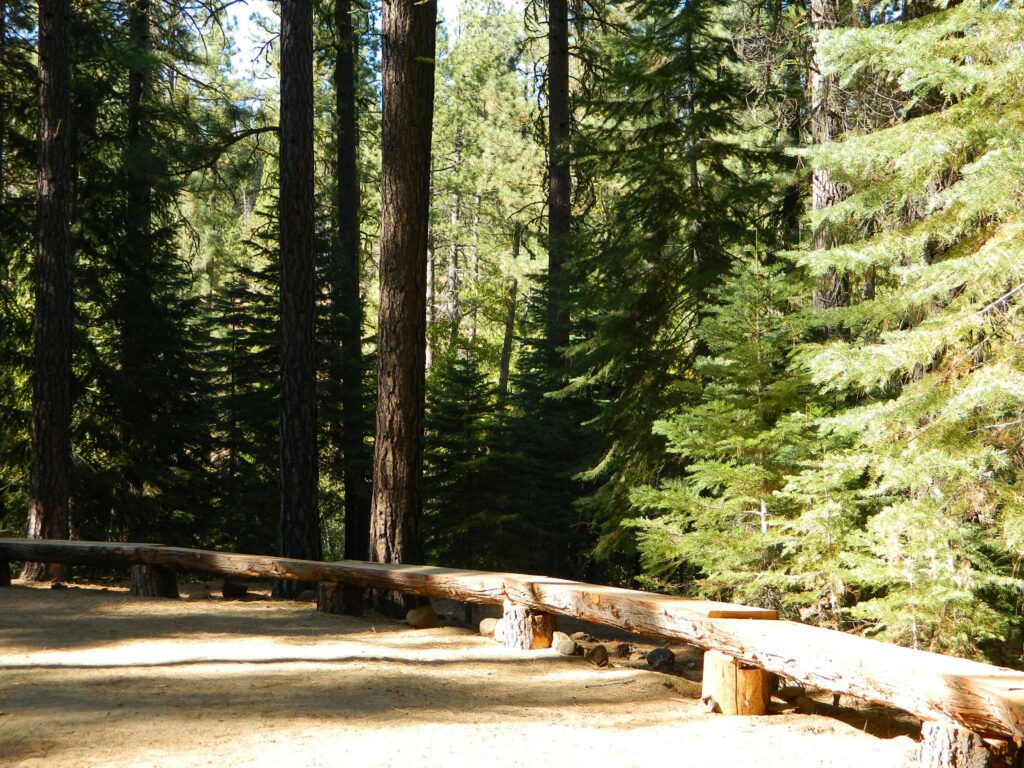
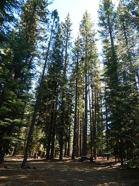
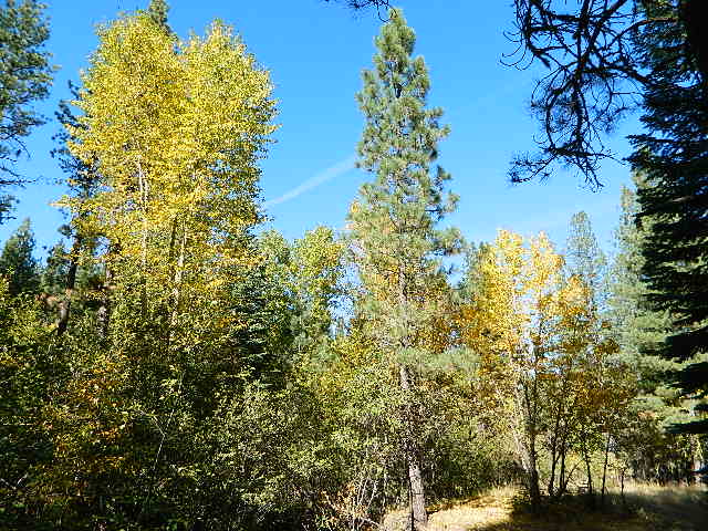
The easy-to-access waterways are found mostly along highways in the Sierra Nevada – or way up in NorCal. Deep granite gorges carved out by glaciers, surrounded by forested peaks is only half the appeal. High elevation lakes, waterfalls, big trees, abundant wildlife, and the alpine villages are all part of the Sierra Nevada experience. Raft, kayak, fly fish, hike, bike or just camp out next to a big, rushing, flowing river. Our selection of California maps will get you narrowed down to a specific region, so you can find that perfect river campground, or explore and discover the back roads – for the most seclusion.
NorCal Rivers:

EEL RIVER
KLAMATH RIVER
Klamath NF Map
MAD RIVER – NFS Campground
MATTOLE RIVER
McCLOUD RIVER
NAPA RIVER
NAVARRO RIVER
NEW RIVER
NOYO RIVER
PIT RIVER
RUSSIAN RIVER
SACRAMENTO RIVER CAMPING
SALMON RIVER
6 RIVERS NATIONAL FOREST MAP
SMITH RIVER
TRINITY RIVER
VAN DUZEN RIVER

Sierra Nevada Rivers:
AMERICAN RIVER
AMERICAN RIVER – El Dorado NF Map
CONSUMNES RIVER – Stanislaus NF Map
FEATHER RIVER
FEATHER RIVER Recreation Map
FEATHER RIVER – Plumas NF Map

KAWEAH RIVER – Sequoia
KERN RIVER CAMPING
KERN RIVER – Sequoia
KINGS RIVER California
KINGS RIVER CAMPING
KINGS RIVER – Sequoia Kings Canyon Map
KINGS CANYON NP
MERCED RIVER – Sierra
MERCED RIVER – Yosemite Map
MOKELUMNE RIVER – El Dorado NF Map
OWENS RIVER – Inyo NF Map
SAN JOAQUIN RIVER – Sierra
SOUTH YUBA RIVER Recreation Map
STANISLAUS RIVER – Sonora Pass
STANISLAUS RIVER – Stanislaus NF Map
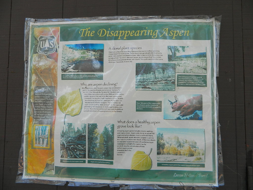
SUSAN RIVER – Lassen
TULE RIVER – Sequoia
YUBA RIVER – North Gold Country
YUBA RIVER – Tahoe NF Map
![]()
Central Coast Rivers:
BIG SUR RIVER
SALINAS RIVER
SoCal Rivers:
COLORADO RIVER CAMPING
Colorado River Jet Ski
LAKE HAVASU
LAKE MEAD (NV) Recreation Map
LAKE MOHAVE
SANTA YNEZ RIVER @ Lake Cachuma – Santa Barbara Mountains
SESPE RIVER – more creek than river, Los Padres NF & SESPE WILDERNESS

![]()
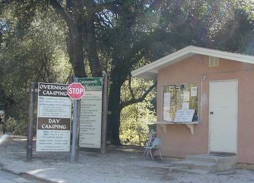
LOCAL TIPS
River Destinations in California


KERN RIVER: The Kern River is one of the most popular of all the Sierra rivers due to its proximity to SoCal. Hurried, stressed-out, Angelinos (LA) can be at this destination in under 3 hours – which makes it a very busy place most months.
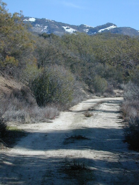
So, let it be told, that summer is not the best time to enjoy the Kern. If you do plan a summer outting, make sure you head for the Upper Kern (10+ mi N of Kernville & Lake Isabella) or the North Fork of the Kern (out in Monache Meadows) where 4×4 is often needed.
The Lower Kern River has only 2 developed campgrounds: Hobo (closed for damage 2019) and Sandy Flat (open all year). Numerous primitive camp spots are available along Old Kern Canyon Rd, which parallels the Hwy 178 on the south side. None of which are located at the rivers edges. Remington Hot Springs is a popular spot for soaking. Fishing trails, mountain biking trails and hiking trails, all over. Fire danger is great in this area, so pay extra close attention to signs and fire restrictions.
Kern River above Lake Isabella and Kernville is a better choice for camping availability.

YOSEMITE RIVER: Yosemite National Park –
Merced River & Tuolumne River
![]() Everybody loves Yosemite! This is the most popular park in the whole state; maybe the whole nation.
Everybody loves Yosemite! This is the most popular park in the whole state; maybe the whole nation.
The majority of campers want to stay “right on the river” when they visit Yosemite NP, but that is just plain old impossible, since reservations go fast and there is only so much room for everyone in this enclosed, narrow, precious valley.
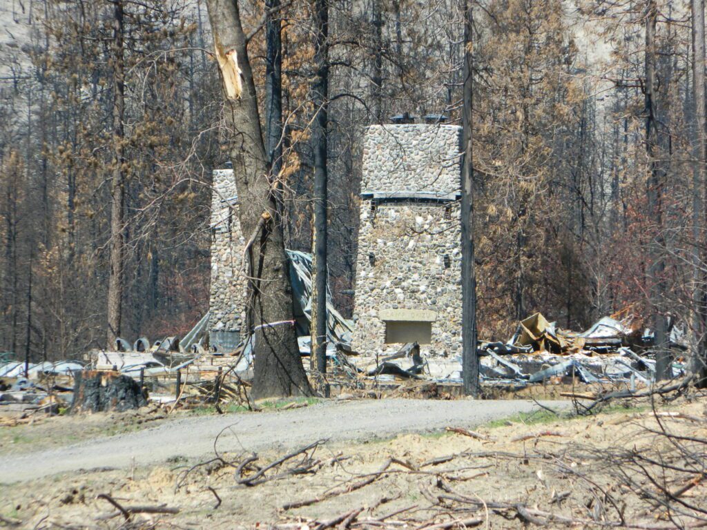
This particular park has some major floods (1997 & 2005) that wiped out bridges, road ways; all the old wooden cabins (at Yosemite Lodge) are gone and only half of the campgrounds are still available. Yosemite has had 11 winter floods since 1916 that have caused substantial damage to property. That number is expected to increase, as winter precipitation is getting less predictable.
Reservations are taken for camping and cabins – far in advance; like one year. No joke!
3 Yosemite Campgrounds are located next to the Merced River (inside spectacular Yosemite Valley)
- Lower Pines Campground
- North Pines Campground
- Upper Pines Campground
![]()
![]()
Way up in the Yosemite high country, which is only open a few months outta the year, the beautiful Tuolumne Meadows Campground is located next to lush meadows and the scenic Tuolumne River. All Yosemite campsites must be reserved well in advance, so visit links above – if you are serious about a Yosemite camping trip anytime soon.


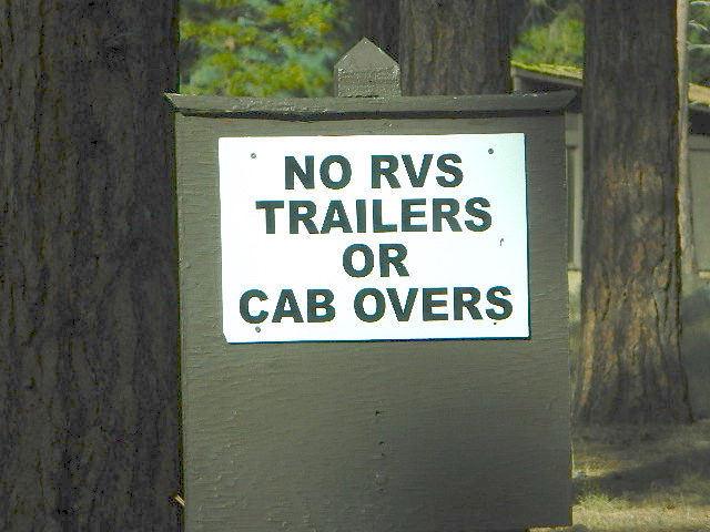
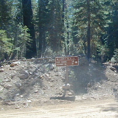
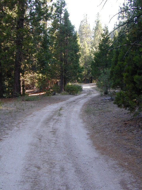
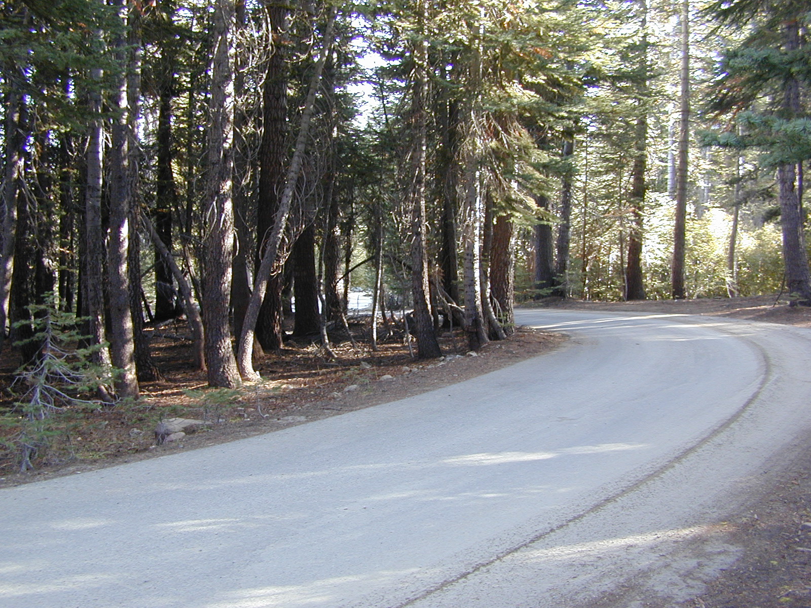
MOKELUMNE RIVER: Way up the road, deep in the western Sierra, Gold Country. Small NFS campgrounds, right on the river; Access is long, narrow paved, switch-back road, not suitable for RVs or trailers.
STANISLAUS RIVER: The Sonora Pass, the fishing is very decent way back in this granite gorge. Highway 108 is only open a few months outta the year, due to deep snow & rock slides – so time is of the essence. Summer time is prime vacation weather up here. Several campgrounds are located right on the river, or on the major feeder streams. Or you can opt for secluded primitive camping on the back roads. Find Sonora camping in Stanislaus National Forest.
YUBA RIVER: The biggest play time river in the northern Gold Country, this runs along Hwy 49 near Downieville and also has a major South Fork for the best swimming holes and primitive camping in this region. Tubing, rafting, kayaking, fishing, camping, gold panning, you name it, Yuba has it. Look for more on the South Yuba Recreation Map, or the USDA issued Tahoe National Forest Map
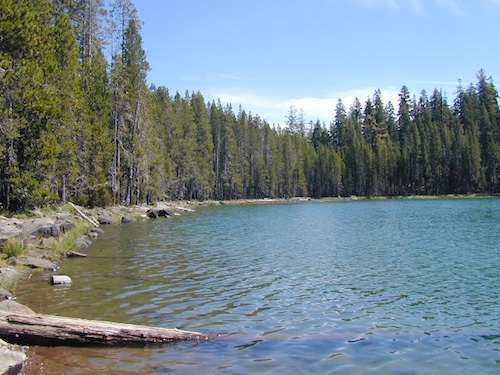
FEATHER RIVER: Top fishing river in the Lassen to Oroville area. Chester and Lake Almanor in the upper reaches. High Bridge Campground is nice paved-camp-site camping; a forested spot where you can fish 2 rivers on the same day. A Plumas NF or Lassen NF map would be quite helpful for this region. Lower down the mountain, lower Feather Rivers which include all 4 forks which feed Lake Oroville – West Fork (Paradise, CA), North Fork, Middle Fork Feather, (Berry Creek, CA) and the South Fork (Lumpkin). Lots of waterways and creeks worth exploring in between Chico and the mountain town of Quincy.
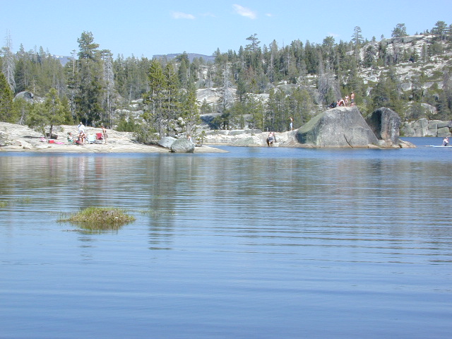
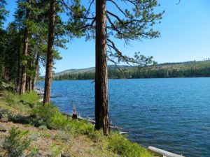
KINGS RIVER: This one particular river is the longest in the Sierra Nevada mountain range, pulling snow melt from the upper reaches of the High Country and Mount Whitney. The river area just to the West of the National Park, over to Pine Flat Reservoir, is all prime for outdoor recreation. Several river rafting companies work this stretch of river.
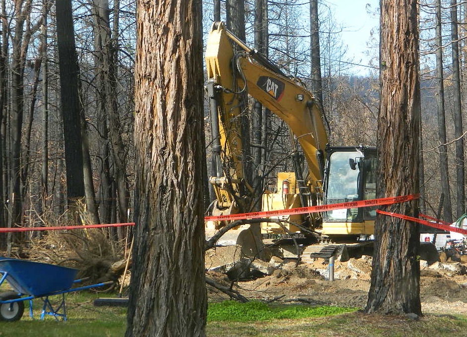
CAMP FOUR & A HALF CABIN RENTAL
NFS KINGS RIVER
![]()
![]()
![]()
![]()


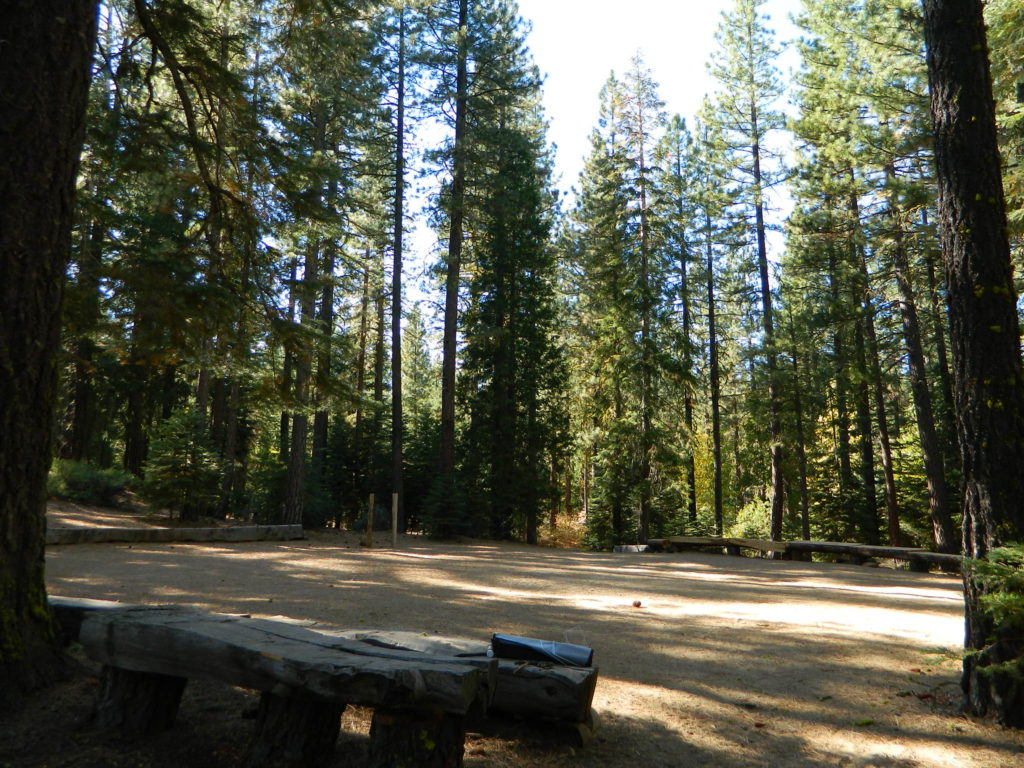
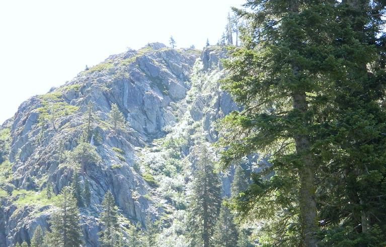
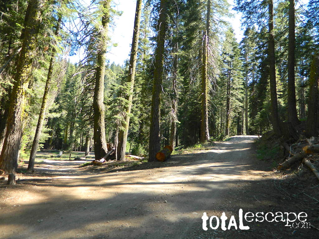
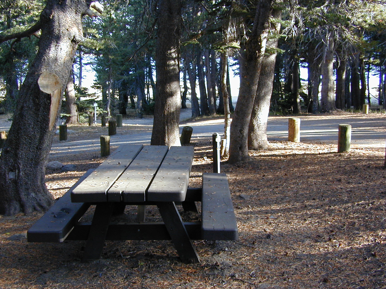
 In the first few miles, the dispersed camp sites on the right side have great views & some situated on fairly flat granite slabs, perfect for astronomer campers or adventurous RVs. To the left side of the road is more primitive style campsites in wooded areas. The whole area is also a very popular cross country ski & snowmobiling spot for winter recreation. Hunters also like these camps during hunting season (in September).


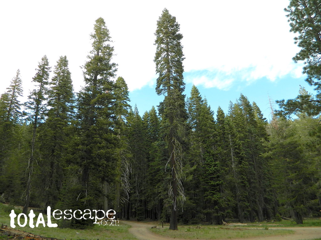
 Small Sierra Nevada camp on Upper Jamison Creek in a granite canyon, within a gorgeous red fir forests, wildflowers and fresh mountain air.
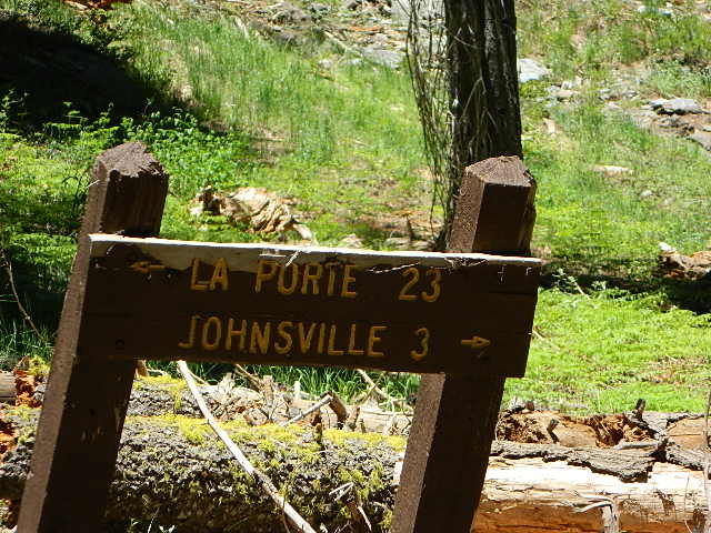


 nearby destinations:


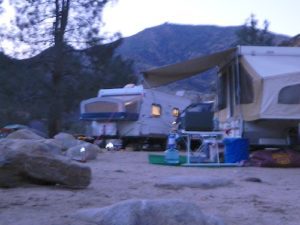
 The best free camping in California for RVs & motorhomes is NOT the WalMart parking lot in some random town, but the gems that you find here on Total Escape.