

eco-friendly camping
eco-wise camp tips
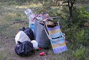
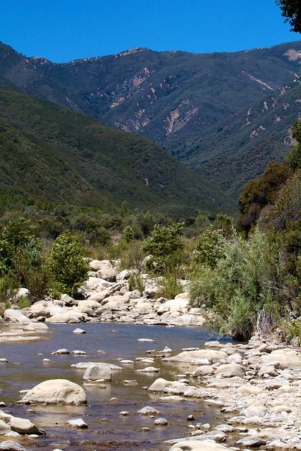
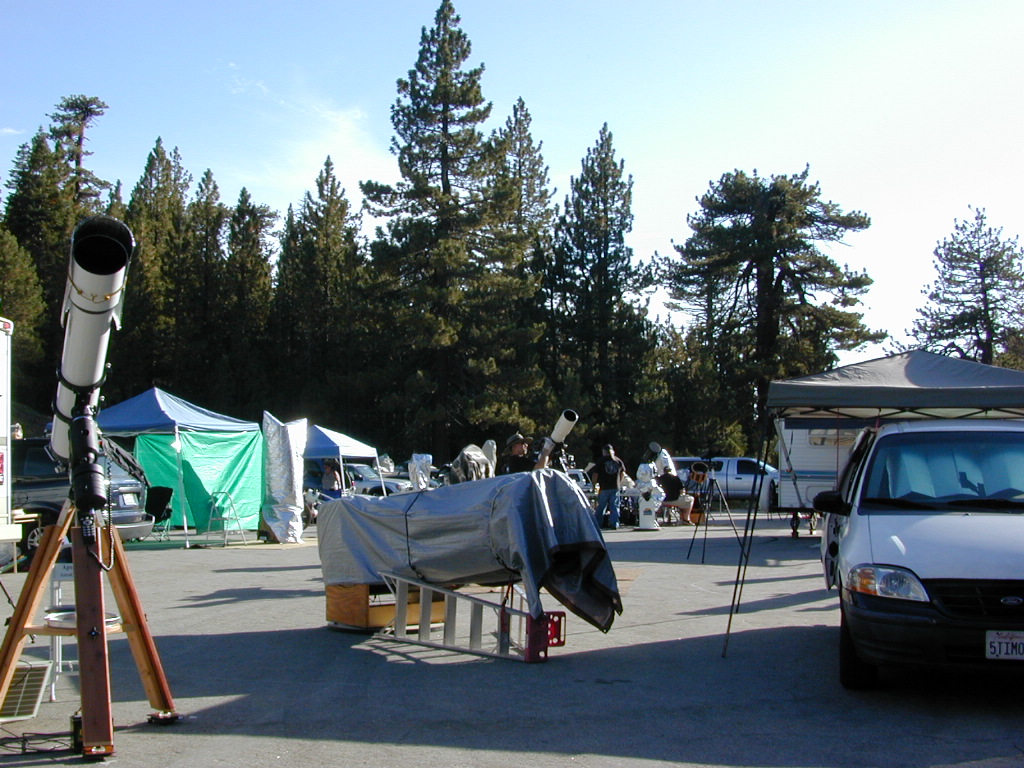
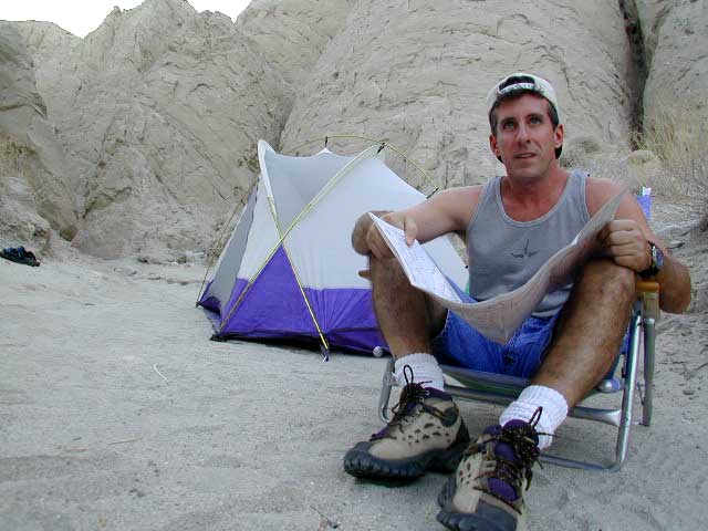
 You manage to drag yourself off the couch, congratulations! You’ve packed up your ride and are heading out to your favorite “secret” spot. Anticipation builds as you arrive and pull into the empty lot. Your heart sinks however when you discover that your once pristine camp spot has been transformed into the new town dump. An old lawn chair, candy wrappers and beer cans litter the area that you once loved. Impromptu fire rings are strewn about and armies of weekend warriors have trampled your favorite meadow into a dust bowl.

DON’T BRING THE CITY TO THE WILDERNESS. The noise, the food containers, the beer bottles, the fast food wrappers, the broken plastic crap and the balled up baby diapers. The disposable society we have created now makes us all too LAZY. Getting off your ass and outdoors means you need to take some responsibility.
You get much needed exercise, outdoors breathing fresh air, and enjoying life, while discovering new destinations and awesome terrain. The least you can do is clean up a little, and encourage others to do the same.
thinking about that plastic water bottle you dropped on the trail?
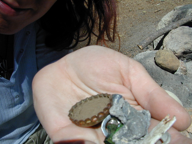
Trash isn’t specific to just campers and target shooters. Hunters are notorious pigs, especially when gathering in groups. Day hikers ‘accidentally’ loose stuff all the time – from sunglasses to bottle caps. Picnickers often forget something at the site.
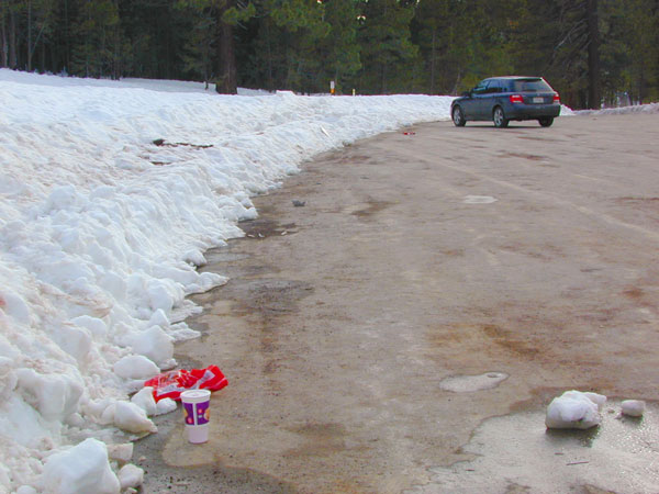
Family day in the snow sounds great. Sledders leave massive amounts of trash – from broken sleds to food trash.
unaware
Litterbugs include many types of folks: disruptive teens, toothless alcoholic contractors, local yolkels, urban mishaps, gangster wanna-bes, home boys, totally oblivious yuppies & even uneducated families…
keep the trash & tagging to the city!
EDUCATION is key on this matter & it starts with you.
Please pass along good outdoor ethics.
 |
 |
Seems you can’t go deep enough. The further into the forest you go, you still seem to see it – evidence of neglect for our land. In every outing these days, we constantly notice tons of litter and graffiti. Deliberate disrespect for the open spaces and valued wilderness lands. What is going on here?
Please report graffiti in action to the local law enforcement or nearest rangers office! Or better yet, get them on video and post it on YouTube.com
What’s the worst that can happen?
Small fragments of plastics are being found inside birds, wildlife and marine life, due to the vast amounts of micro-trash that is found outdoors. Ingested plastics often kill the animals.
Our secluded swimming holes and creek trails are now littered so badly, that the smaller trash is making it into major rivers and into the bellies of fish and the near-extinct California condors.
Misuse and sheer disregard is how OUR lands get closed (by OUR OWN government). Closed off forever, turned into ‘off limit’ roads and more totally closed wildernesses, that only can be explored on foot. OHVs, dirt bikes, 4x4s need to realize their overall impact on natural habitats could have a detrimental effect on these lands. There is a balance. Play wisely. This includes all the red necks with guns too.
Originally uploaded by danamight
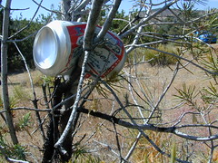
Graffiti, Soda Cans, and Cigarette Butts are a nuisance to nature.
As more and more office drones venture from their cubicles and out onto the unbeaten path, they leave behind the remnants of their bold treks for all to see. Refuse, human waste, smoldering campfires and crushed flora from selfish tent placements and trail blazing destroy our fragile eco-system and pollute the environment for years to come.
- Be cautious walking around to avoid destroying the fragile ecosystems, such as meadows, seedlings, wildlife & wildflowers.
- Pick up all your trash & even some left behind by previous campers. Leaving the camp or picnic site in better condition than you found it.

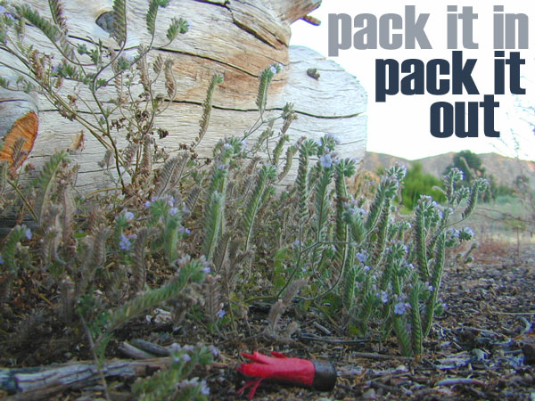
Below are some simple tips that, coupled with common sense, will enable you to stop being part of the problem and start being part of the solution!
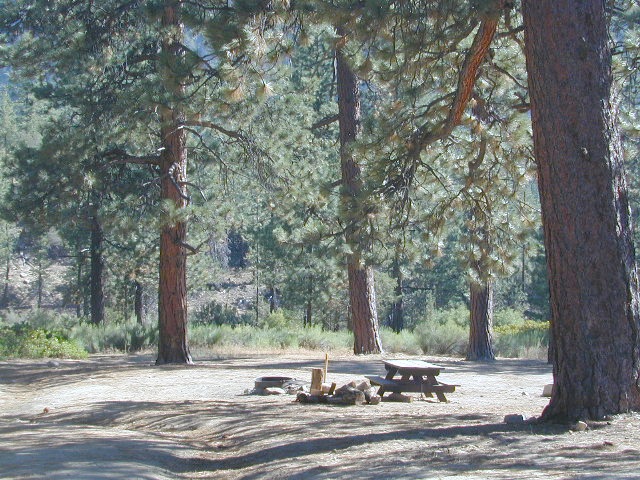
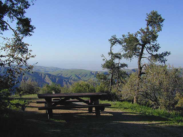
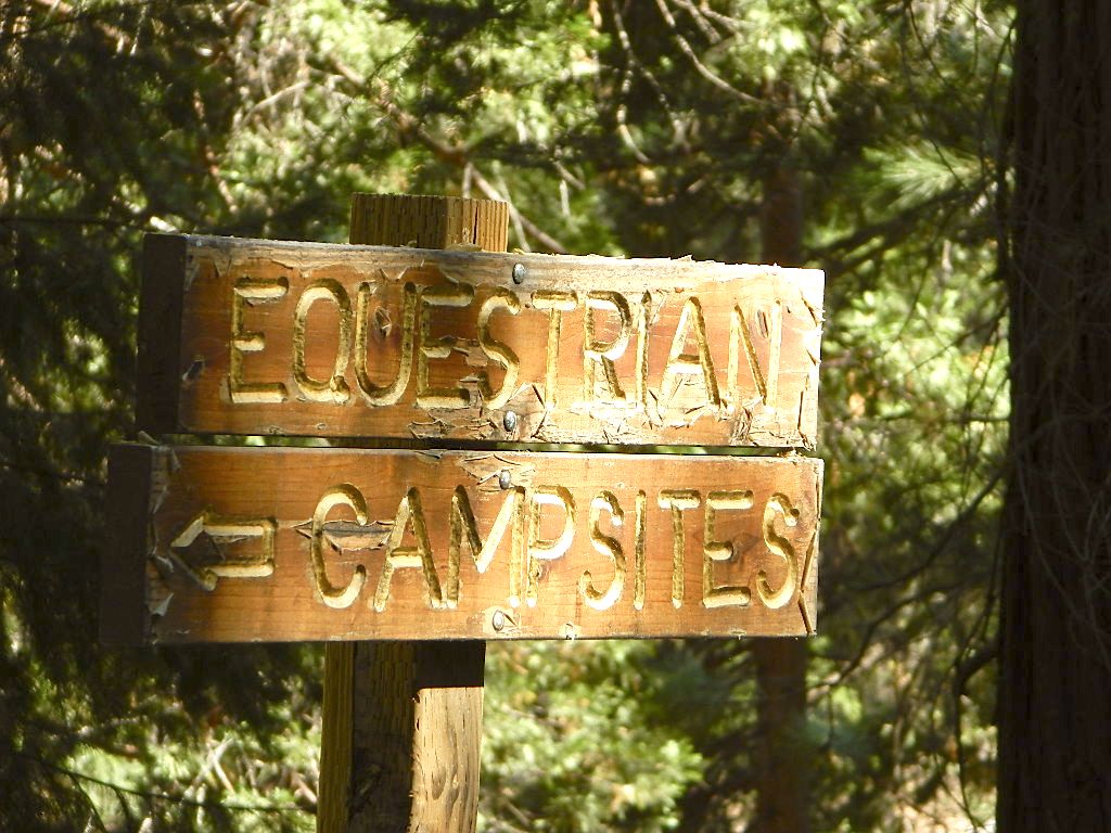
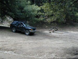
- Camping & Picnicking
- Cleaning & Potty Breaks
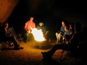
- Camp Fires Correctly
- Hiking
- Off Roaders
- Parenting
- Target Shooters


 bike
bike

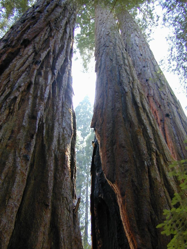


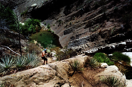
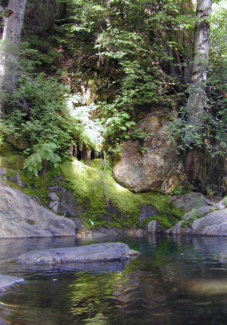
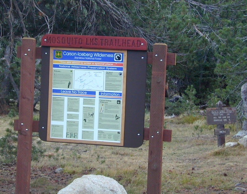
 Redwood forests and rivers are what make up most of the Northwest part of California, just below the Oregon coast. Logging and fishing are the big industries up here. Lumber mill towns and camps still exists today. Wilderness areas, dirt back roads, river kayaking, stream fishing, camping and real wild indians. Oh yeah, and Big Foot!


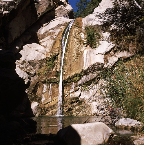
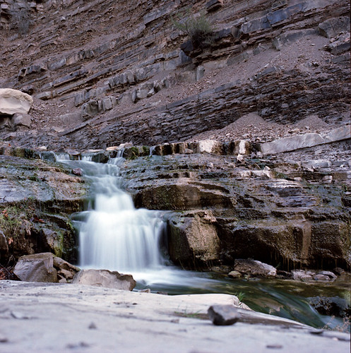
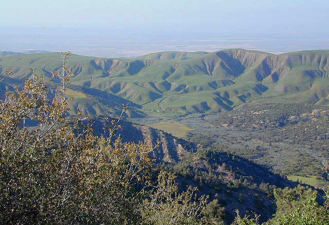
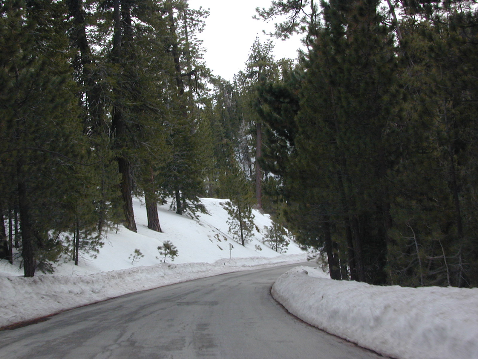
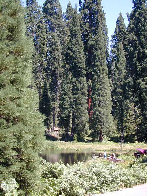
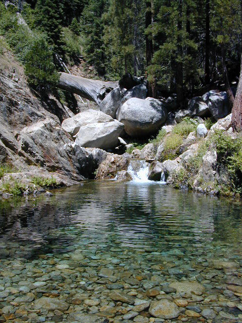
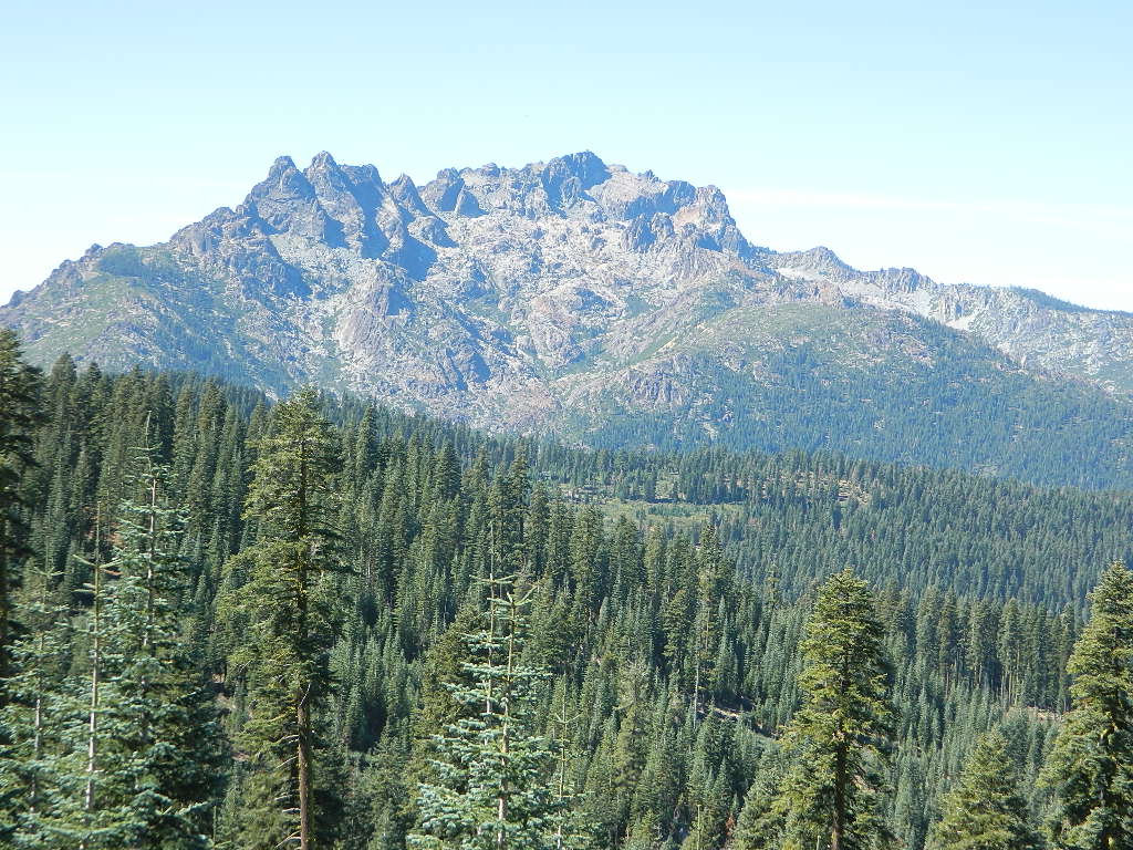
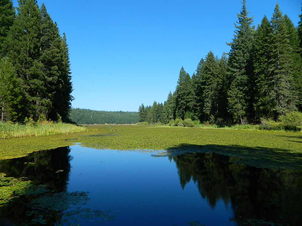
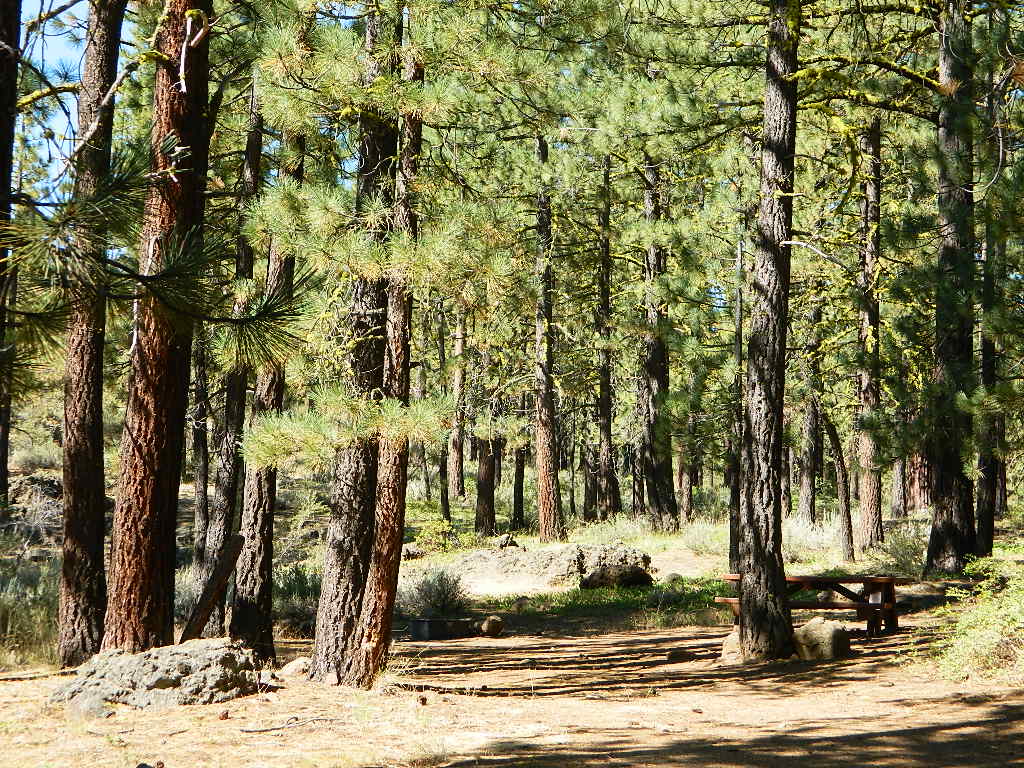
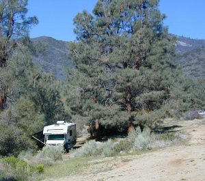
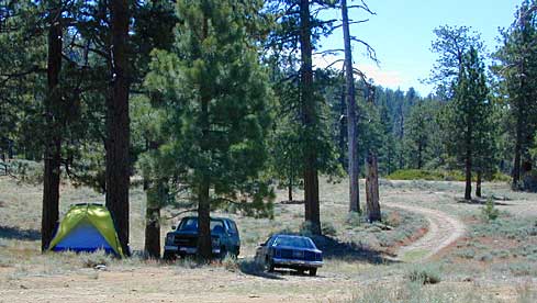
 Northern Sierra Nevada mountains is where the granite rock of the Sierra meets to volcanic rock of Lassen Volcano.
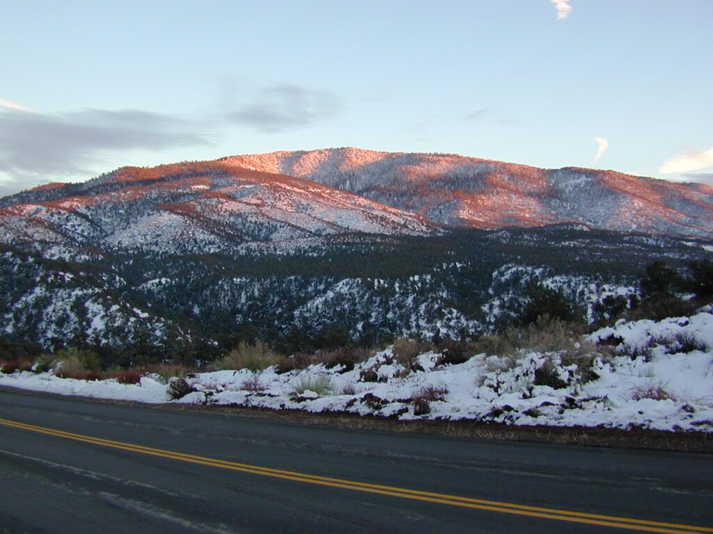
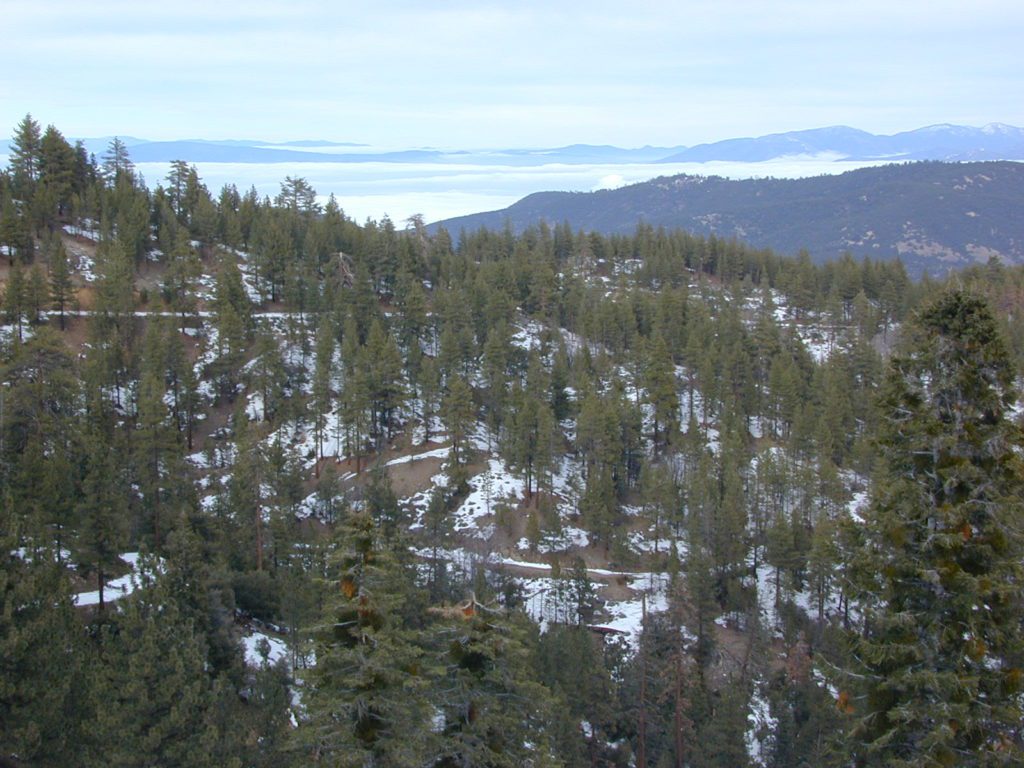
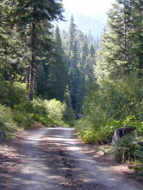
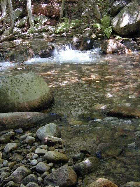
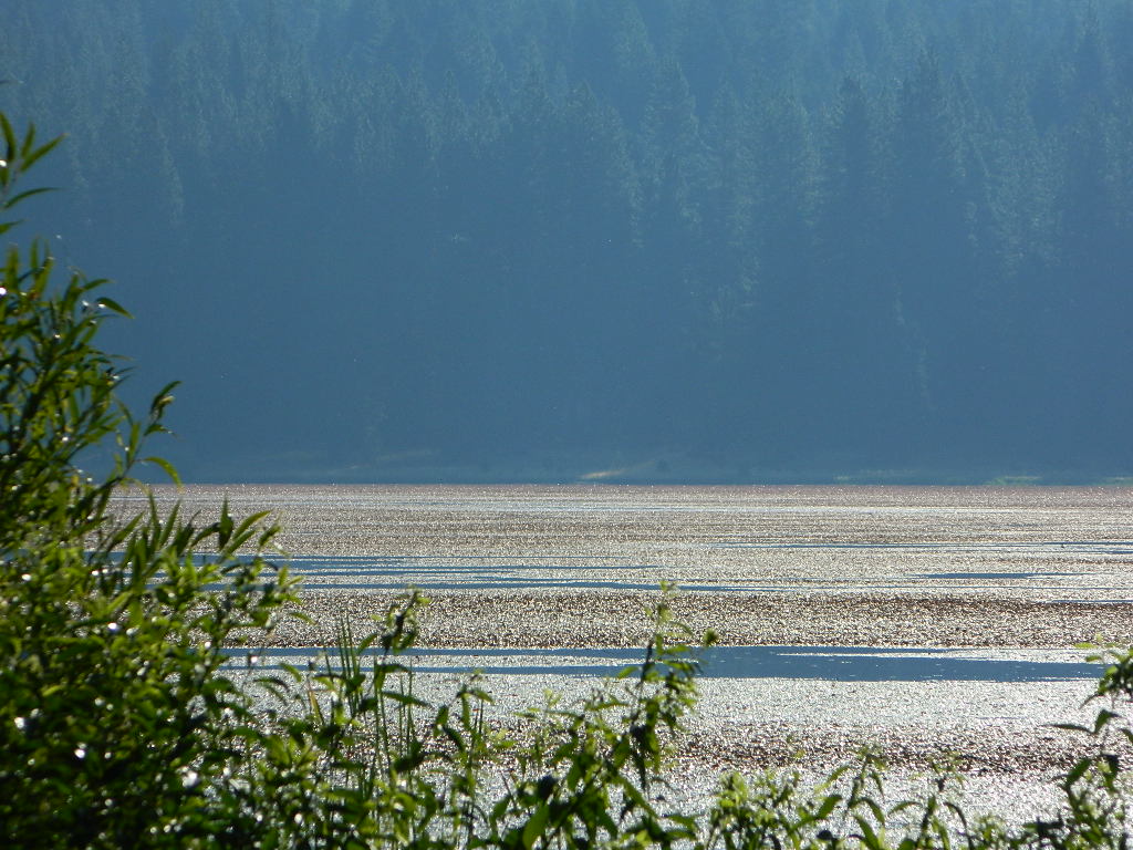
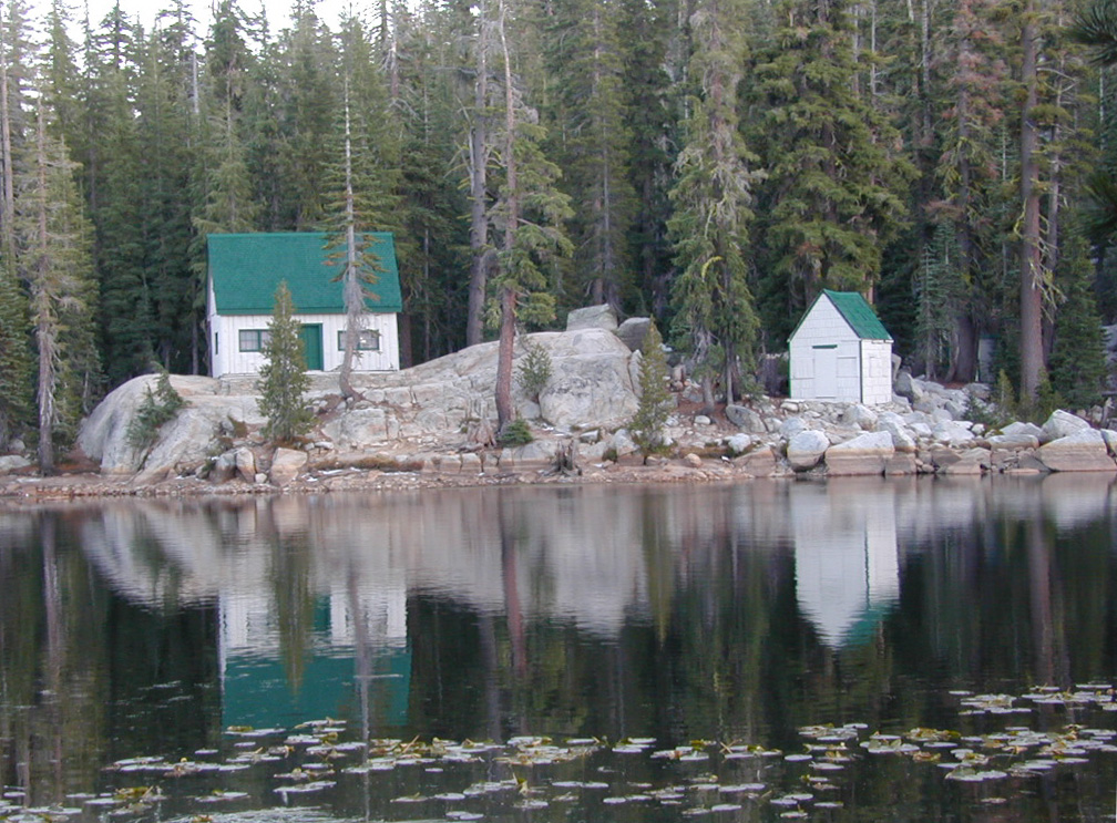
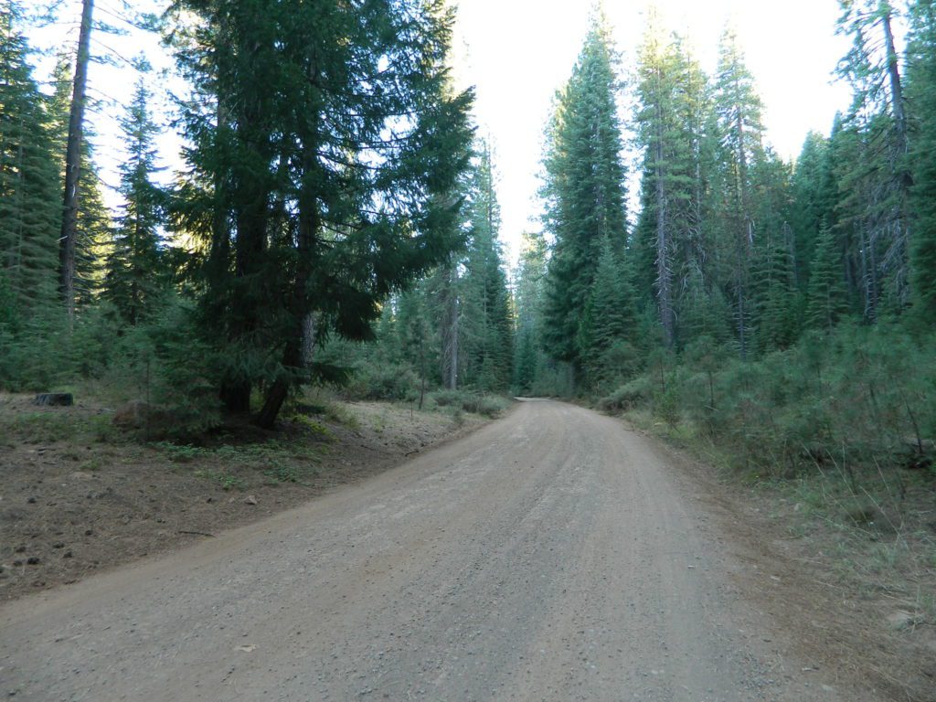
 Technically speaking, the Susan River is the top waterway of the Sierra Nevada mountains.


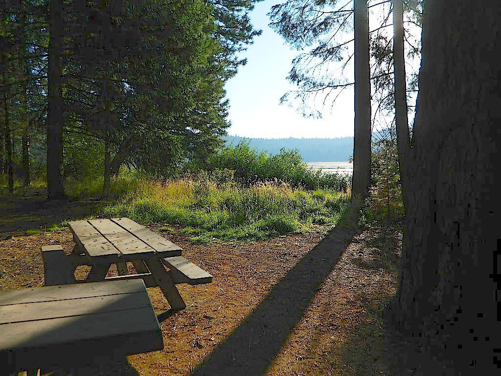


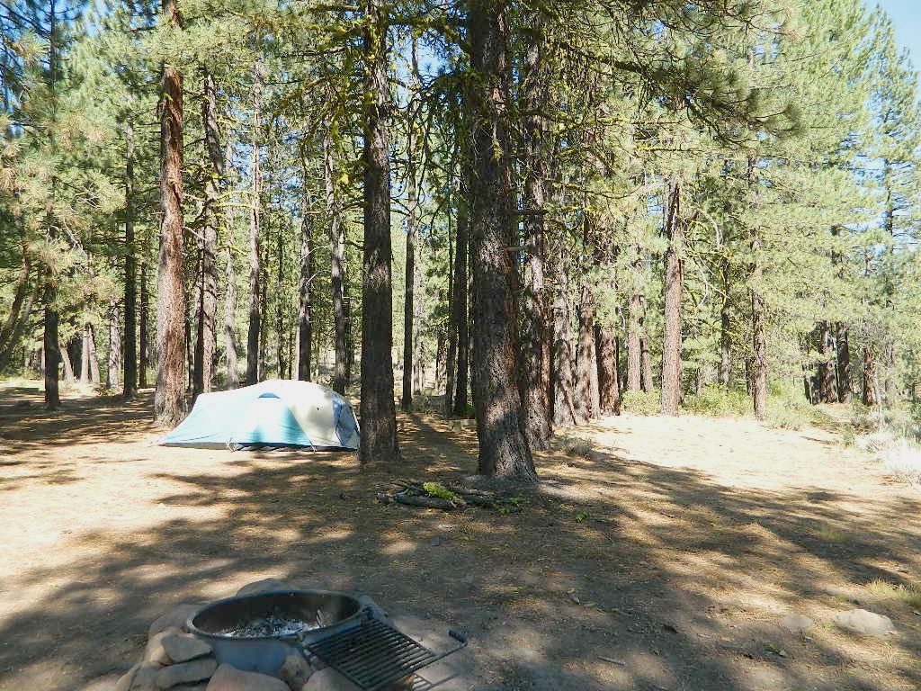
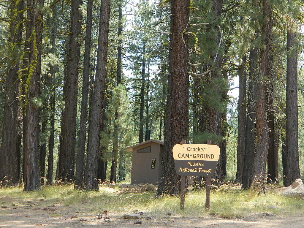


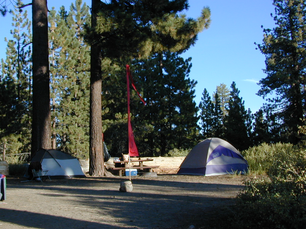
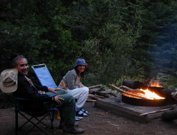
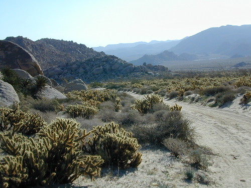
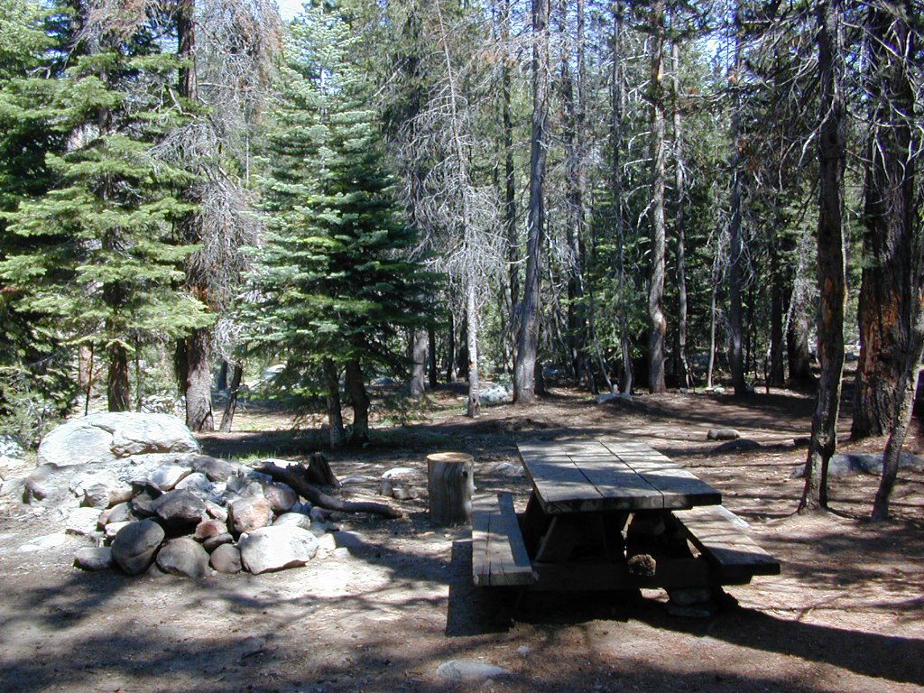
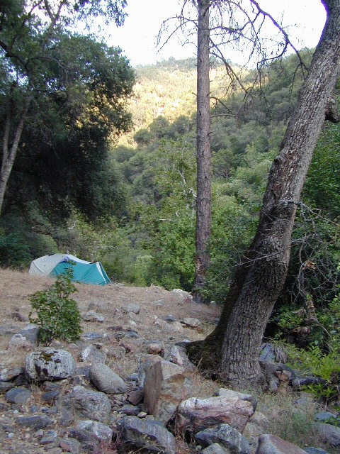
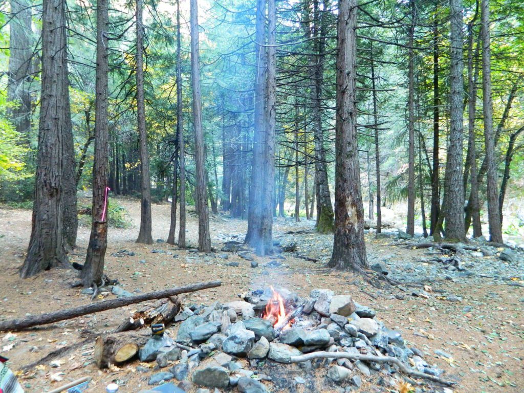
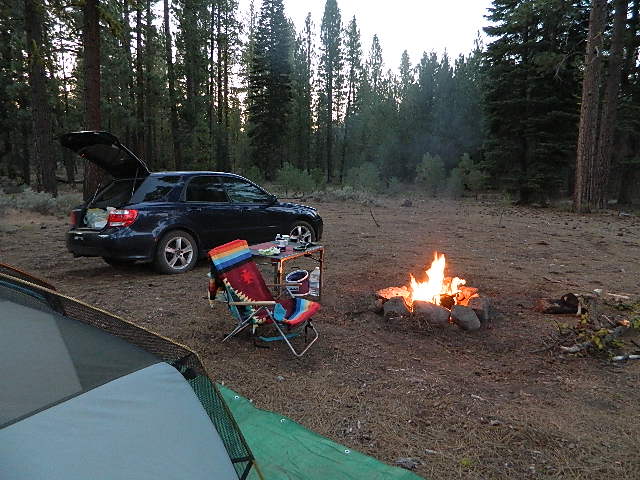
 Pack in your drinking water and pack out your trash. Campfire permits are not required at developed campgrounds; but a bringing a water bucket and shovel is necessary for tending your campfire. Piped water is not always available, or perhaps, not in working order at these primitive style camps. Be prepared to rough it a little.


