Category Archives: April

California Wildflower Blooms

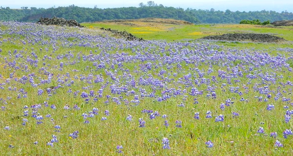
Lupine Oroville
Wildflowers in California 

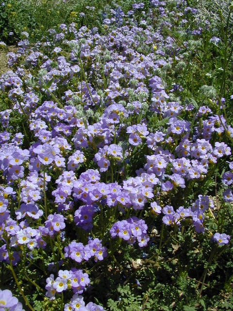
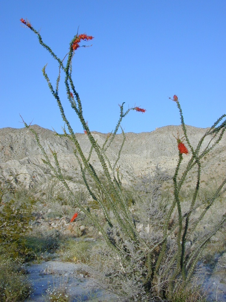
Wildflowers bloom all over California – from the desert in winter months, to the High Sierra in mid summer.  Remember that the timing is everything, since most of these precious, delicate beauties only last a week or so. Out there alone, all day in the bright sunshine, whipping in the seasons strongest breezes. Flora!Ocotillo Joshua Tree
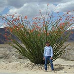
The higher the elevation, the later the bloom.
Lower elevation deserts begin to show as early as February and higher elevation peaks thaw in May. Wilderness meadows and flowers can be found in the mountains in summer. Generally in California, Springtime – between MARCH and JUNE is the best viewing time.

Places to find Wildflowers in California

West coast wildflower blooms in relation to elevation; Order of bloom is typically

  • low deserts (FEB)
  • high deserts (APRIL)
  • river canyons
  • central valley
  • mountain foothills (MAY)
  • coastal foothills
  • mountain forests (JUNE)
  • high altitude meadows
  • mountain lakes
  • mountain peaks (JULY)

some recent finds:

Carrizo Plain Super Bloom – W of Taft, CA

Klipstein Canyon, Kern County @ Hwy 166Gorman Post Road
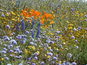
Cottonwood Canyon
W of New Cuyama, CA

School House Canyon
W of New Cuyama, CA

Figueroa Mountain Rd – Los Padres NF @ Santa Ynez, CA

Table Mountain – Cherokee Road, N Oroville, CA


Box Canyon @ Mecca, California

Turtle Mountain Road, Needles, CA

Mill Creek, Lassen NF

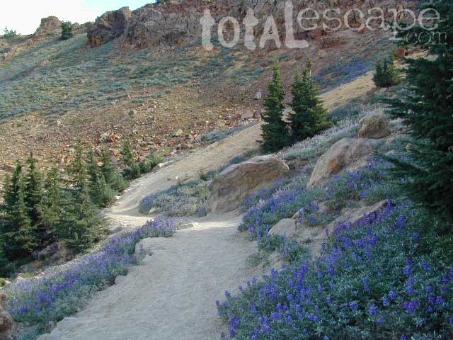
Lassen Peak Lupine Way HikeNPS
Lassen NP (mid-to-late summer)

Lassen Peak Lupine Summer Hikes

more pages on wildflowers –

California Wildflowers

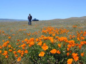
California Golden Poppies

Poppy Reserve Antelope Valley, LA Co.

Poppy Stompers

popstrollin

Anza Borrego Desert Wildflowers
Mojave Desert

Turtle Mountain Road

Turtle Mountain Rd

Turtle Mountain Road
BLM Road # NS477

off U.S. Highway 95
in between Needles & Blythe, California

BLM: Bureau of Land Management – Desert Camping

Several miles south of the town of Needles numerous desert washes cross the highway with dirt roads leading off into both directions. Turtle Mountain is just one dirt road to explore in this region, but there are many more unmarked, secluded roads. This region is perfect for “campers in-route” traveling who need a quick overnight camp spot (off the freeway).

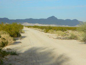
Turtle Mountain Road is a one lane dirt road that runs next to a wash, in between Turtle Mountain Wilderness and Stepladder Mountain Wilderness. Leading approx 12 miles from US Highway 95 to the northern edge of the desert wilderness. The Turtle Mountain route continues westward to meet Water Road with Old Woman Mountain Wilderness nearby. Sunflower Springs Road continues north to Essex @ Interstate 40

BLM signage along US Hwy 95 is minimal. Look for vertical brown markers w/ reflectors, numbers or names. Driving slower than typical traffic, coast at 50 mph and keep your eyes peeled to the west side. Turtle Mountain Rd is marked at the pavement, but the marker is very small.

Eastern California Desert Wildflowers

Exploring the eastern side of Southern California, one can find the Colorado River and Arizona border region an excellent destination for winter camping. Springtime offers wildflower blooms, open camping and decent weather with sunny 70 degree days. Wildflowers and BLM beauty awaits those who venture off the paved routes.

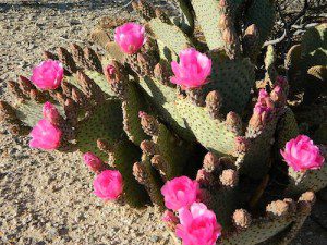
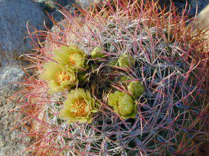
Pink Cactus Bloom

Palo Verde trees line the washes and much vegetation can be seen throughout this remote region. Cacti include the cholla, ocotillo, barrel, beavertail, just to name a few. Wildflower blooms here are just as good as Anza Borrego Desert SP.

MARCH & APRIL are both prime months for the desert bloom

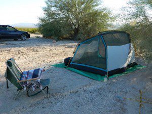
BLM Desert Camping

Drive more than a mile from the highway if you plan to camp in peace and quiet, as the overnight truck traffic goes all hours.

RV accessible camp spots are few and far in between. They can be found in large, level pullouts close to the main road, but you will be hearing traffic zoom by. Some dirt roads are in better shape than others; Seasonal storms in the low desert can wash out even paved roads. 4×4 may be needed in some areas.

Open camping in this desert is free and there is plenty of room to spread out. Imagine not seeing anyone pass by your camp or drive down your road for days. Camping in a sandy wash may seem appealing, but you best know the weather forecast and if rain is at all predicted nearby, be prepared to break camp (in the middle of the night) before a flash flood hits.

The Needles BLM Rangers Office is located on US Hwy 95, on the south edge of town and they can provide maps and more information. BLM California Deserts

Needles BLM Office
1303 S. US Hwy 95
Needles, CA 92363
760-326-7000

Lake Havasu BLM Office
2610 Sweetwater Avenue
Lake Havasu City, AZ 86406
928-505-1200

Anza Borrego Desert Wildflowers
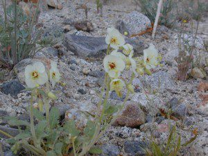
Borrego Blooms

Barrel Cactus Anza

By far one of the best viewing areas for native California desert flora in the whole state. Autumn rain amounts determine the next year’s Spring bloom. If it rained real good all over SoCal before New Years Eve, chances are better for a favorable showing of color.

Low elevations, washes, badlands, dry lake beds bloom first in February, followed by March for mid altitude canyons and mountains. Highest desert peaks may not bloom until May.

Some of Total Escape favorite spots include:

S-2 Great Stagecoach Route of 1849

Anza Borrego Desert State Park
Anza Ranger 760-767-5311

Coyote Wash Blooms

April is usually the best month for the wildflowers; it is also the prime time for Spring Break camping. Open car camping for free – all over this huge California State Park. The tourists typically head over to the town of Borrego Springs, to Borrego Palm Canyon and the visitors center; but the REAL wildflowers are along remote stretches of highway, and on the DIRT BACK ROADS. Many roads are passenger car accessible, for at least the first mile, so don’t think you must have a 4×4 vehicle for just simple exploring.

Coyote Ocotillo Garden

Cochella CA

Often misspelled as Cochella; Coachella, California is a small, agriculture desert town just east of Indio, way out past the green lawns of Palm Springs CA. Date palm groves, on the north edge of the Salton Sea. No one had ever heard of this area before the large, commercial, music festival took over. This concert event is a SoCal ritual for Spring, out in the desert east of Los Angeles; it attracts thousands every year with top performers always headlining.

Coachella Google Map & Photos

Coachella Valley Music
Annual event; April
www.coachella.com/

Lyrid Meteor Shower

Anza Borrego DesertsThis annual meteor shower peaks in late April, one of the few shooting star shows in the Springtime. Look in the east part of the nights sky for the grazers or shootings stars, up to 12 per hour. Pre-dawn viewing is always best for meteor showers. Most deserts are prime star gazing spots. Spring blooms wildflowers in the California deserts at this time of year.

This photos is taken at the heights of Mortero Canyon Wash in the southern portion of Anza Borrego Desert State Park. County Road S2 leads out to some great back road camping options. Morterro Wash has big boulder campsites – back behind the abandon rail road tracks. These desert dirt roads are not recommended for RV or motorhome travel. Deep sand is common. Passenger cars can make it – if they do not slow or stop in the soft sandy spots.

Annual event; April

How to best view a Meteor Shower

California Desert Destinations
California Desert Camping
California Hot Springs Resorts

CURRENT MOON