

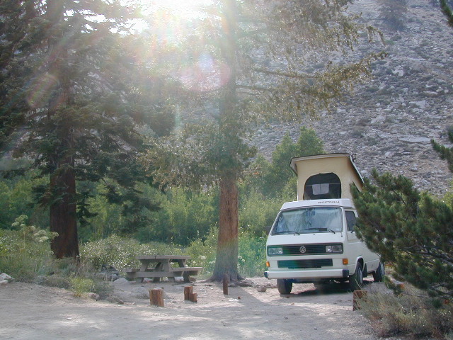
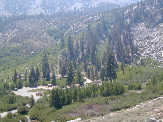
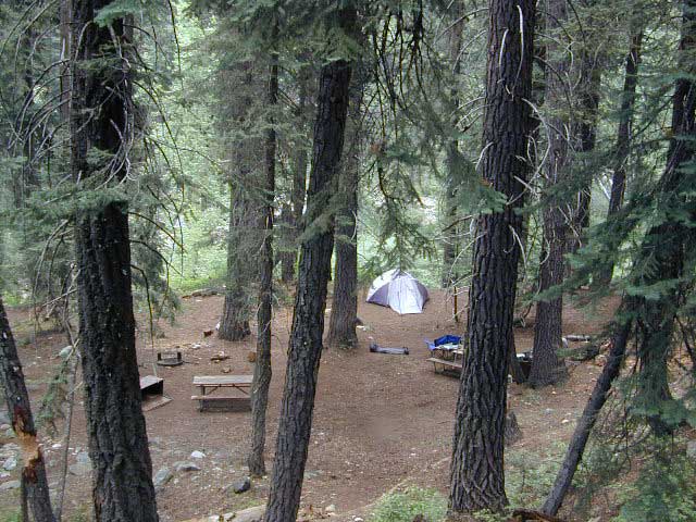
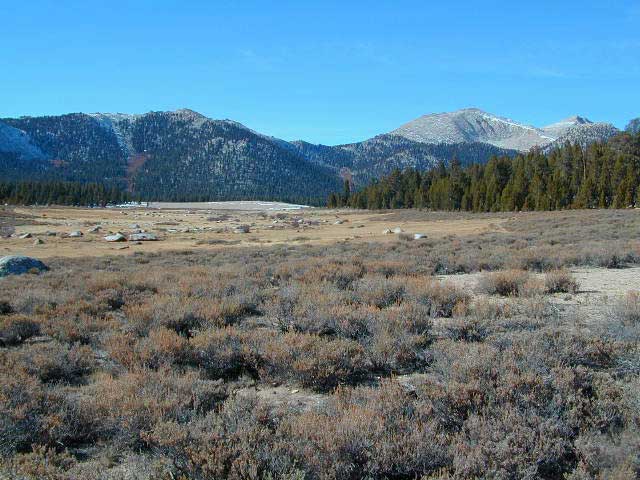
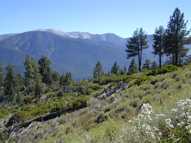
Spectacular Small Campground located inside a granite bowl above 9000′ elevation, on the edge of the granite, near the John Muir Wilderness trails.
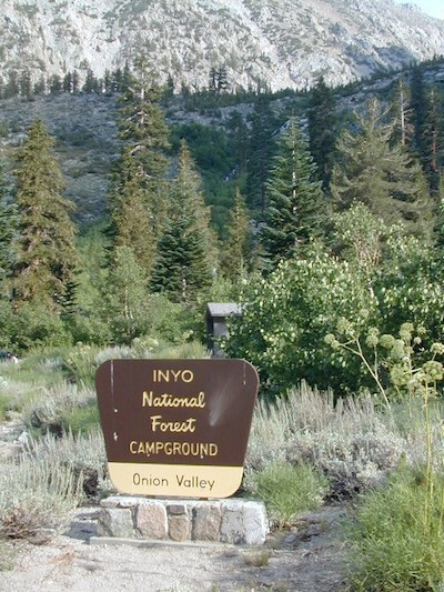
Inyo National Forest near Independence, CA
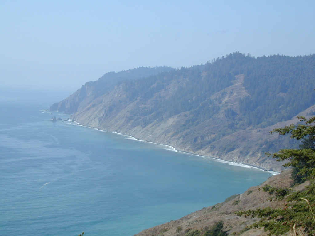
Eastern Sierra California
One of the best high elevation trailhead camp for backpackers in the Sierra.
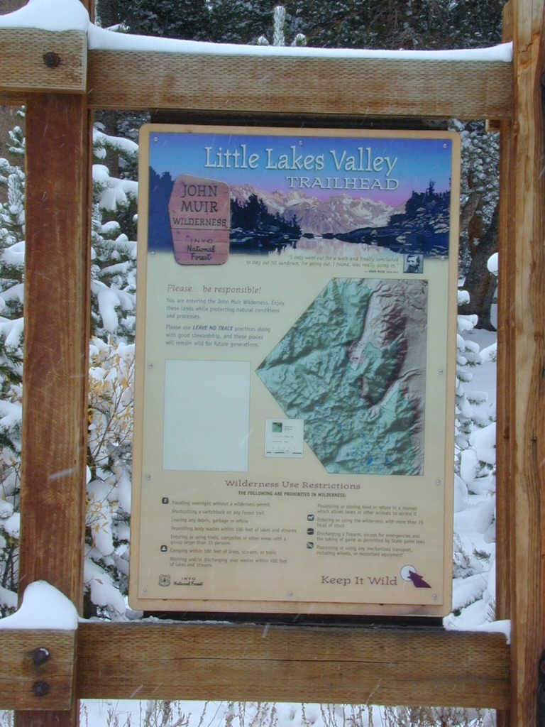
High Sierra Lake Hikes
Onion Valley Campground
- Elevation: 9,200′
- Number of Sites: 29
- Vehicle Accessibility: no RVs
- Camp Fee: Yes
- Campsites Reservation: Yes
- Toilet: Vault
- Water: Piped
- Length of Stay: 14 Days
- Season: June – Sept
- Trailhead Parking
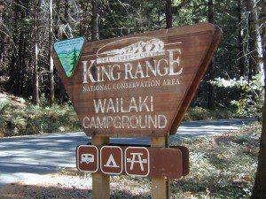
Inyo National Forest 
Mount Whitney Ranger District
760-876-6200
Trailhead parking & camping for these High Sierra destinations –
- Kearsarge Pass @ 11,823′ elev.
- John Muir Trail
- John Muir Wilderness
- East Kings Canyon National Park
- Inyo National Forest
- Golden Trout Canyon
- PCT – Pacific Crest Trail
- Kearsarge Pinnacles
- Kings Kern Divide
- Mount Gould @ 13,005′
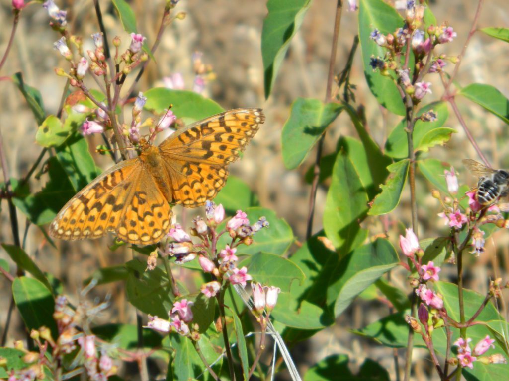
wild mountain onions?
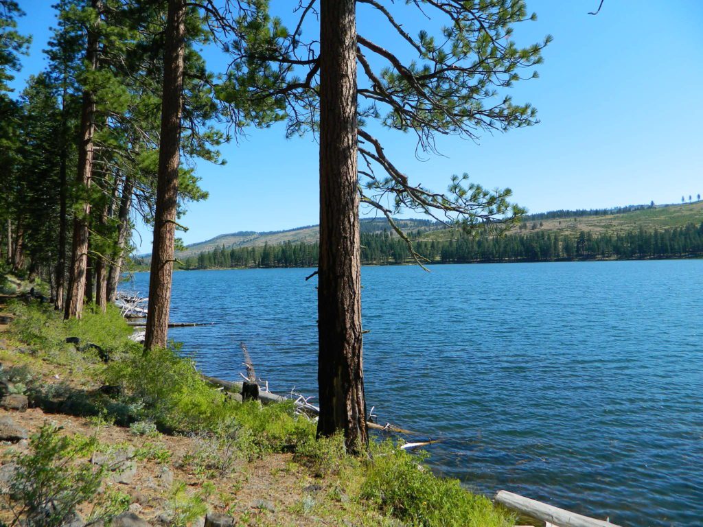
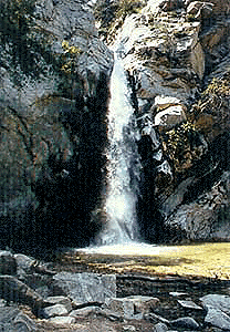
High elevation NFS campground, located in a huge granite valley w/ waterfalls, wildflowers and aspen groves. The setting is breathtaking and the high altitude valley is nothing less than grand.
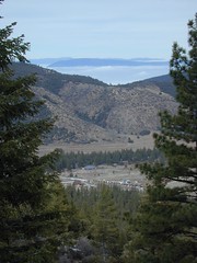
The views (east to the Owens valley) are from the paved road up, or from the hiking trails leading up outta camp. Gotta hike up (on foot) to see the views! Any visitor that does not hike, will be missing out on the best features of this destination. Plan to spend more than one day at Onion Valley.
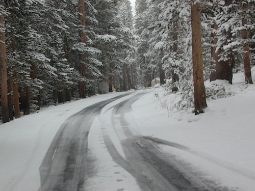
ONLY OPEN for summer months! This small, developed campground closes annually. Big winters and deep snow is the norm w/ elevation this high.
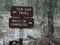
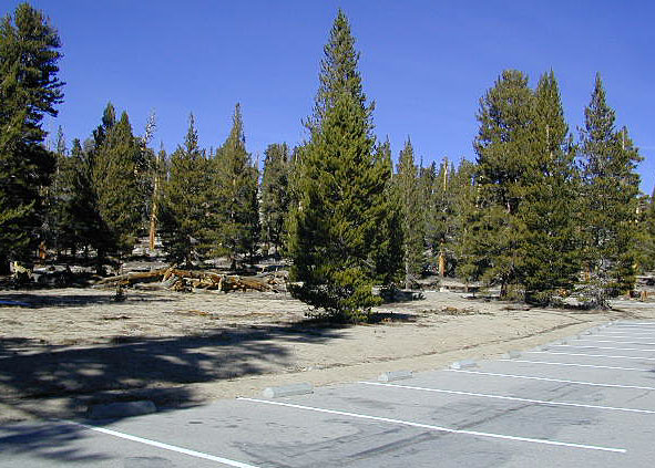
walk-in camp sites
![]() as well as car camping sites.
as well as car camping sites.
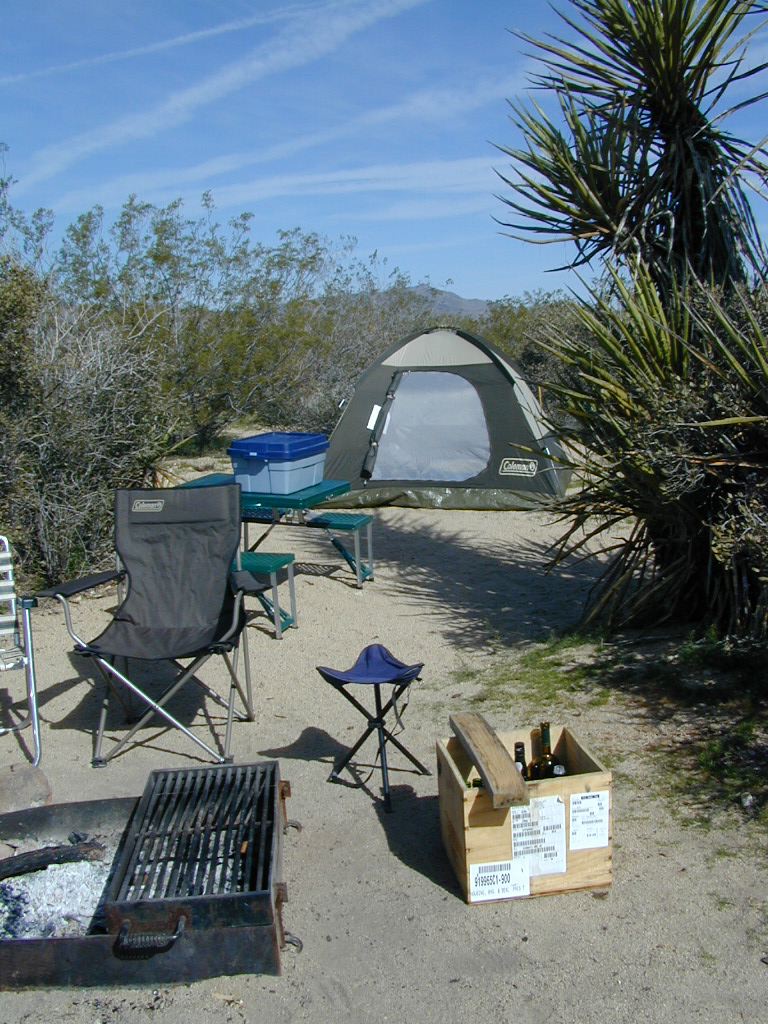
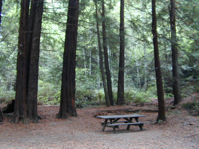
- picnic tables
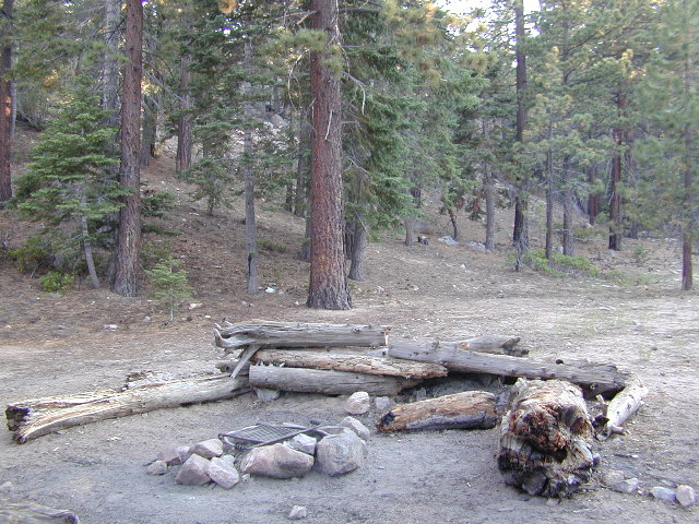
- fire rings
- vault toilets
- piped water
- bear boxes
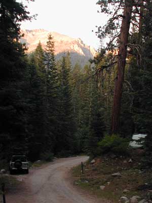
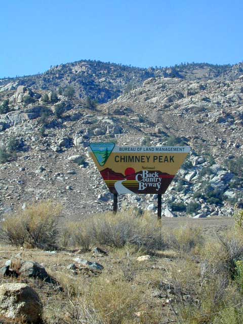
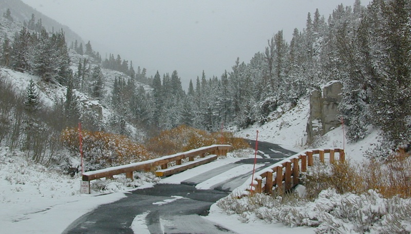
ONION VALLEY ROAD
access via Independence, CA
The paved road is long and very winding; sheer cliffs, steep drop offs, hairpin curves, minimal guard rails. RV motorhomes are not allowed on this route, due to the steepness of the terrain and the narrow roadway. 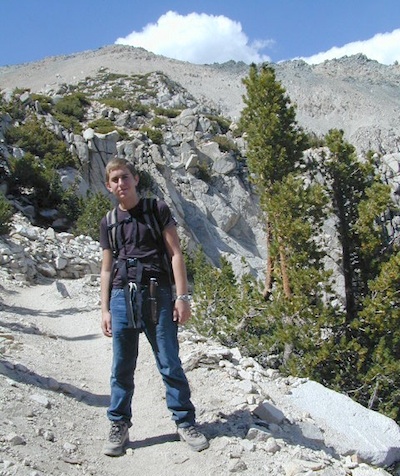
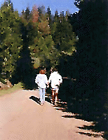
- backpacking
- camp
- hiking
- horse pack trips
- lake fishing
- mountaineering
- rock climbing
![]()
![]()
![]()

HIKING LAKES in the Sierra
- Bench Lake
- Big Pot Hole
- Charlotte Lake
- Flower Lake
- Gilbert Lake
- Golden Trout Lake
- Heart Lake
- Lower Pot Hole
- Matlock Lake
- Rae Lakes Loop
- Robinson Lake
- Slim Lake


 This hidden gem is a hike-in only lake – and well worth the effort. A somewhat short hike, great ridge line views to the east, although the last half mile of this route is a doozie (moderately strenuous).


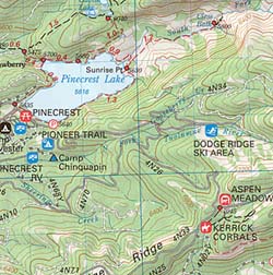
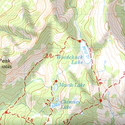
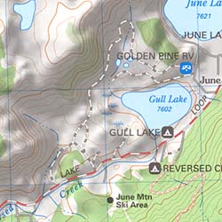 California Terrain


