Bullards Bar California
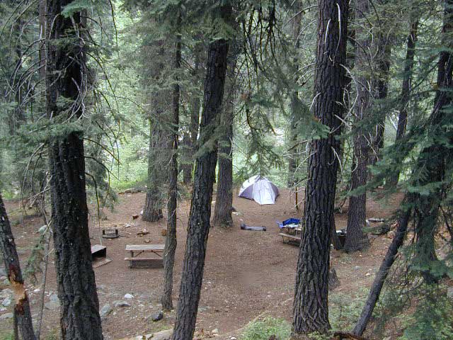
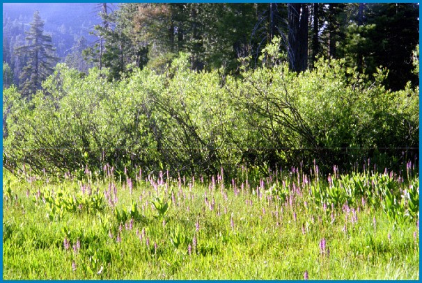
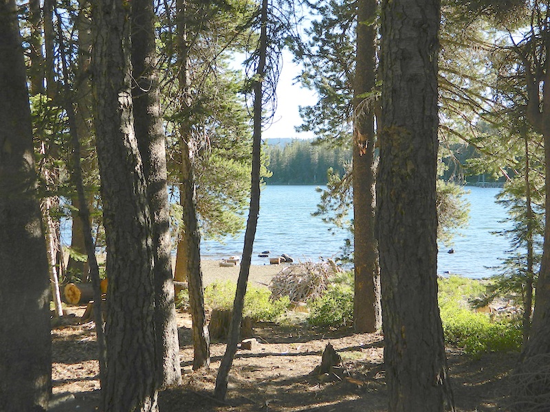
BULLARDS BAR Dark Day is a lakeside walk-in campground on a small reservoir, located deep in the Gold Country foothills. Flush toilets and hiking trails, kayak rentals and fishing.

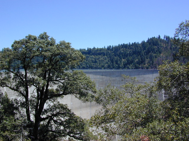
West of Highway 49. Huge dam for hydro-electric power. Minimal roadways along the lake and steep canyons make for optimum hiking and boating. Floating and fishing. Relaxing in the mountains, with fresh water!
On most maps the official name of this lake may read New Bullards Bar Reservoir, or Lake Bullards Bar, but locals just call it simply – Bullards Bar!
Sierra Nevada Foothills. Yuba River, California.
Northern Gold Country, California
Near Camptonville, West off Hwy 49
in between Oroville and Nevada City, CA
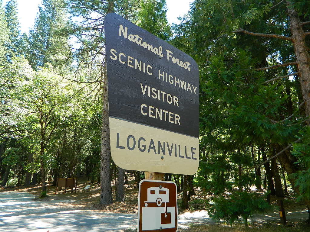
Located not far from historic Downieville, Bullard’s Bar is an excellent base camp location for exploring the upper reaches of the Gold Country region. Old mining locations, museums, a covered bridge, various parks, Yuba River, Sierra Buttes, Lakes Basin. Grass Valley & Nevada City are also nearby. Mountain bike trails, river rafting and hiking all around.
lake surface area: 969,600 acres![]()
lake elevation: 2000′ above sea level
lake county: Yuba County California
roads around lake: Marysville Road (south of lake and east side w/ Hwy 49), Moonshine Road (south of lake), Oregon Hill Road (west side), Pendola Road (north side), and Forest Route #47 (dirt road on north side)

nearest towns:
- Camptonville
- Challenge
- Dobbins
- Downieville
- La Porte
- Nevada City
- North San Juan
- Oregon House
- Oroville
- Yuba City
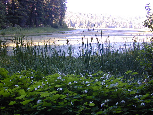
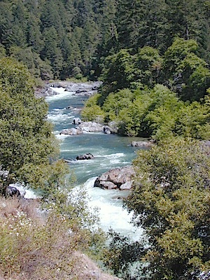
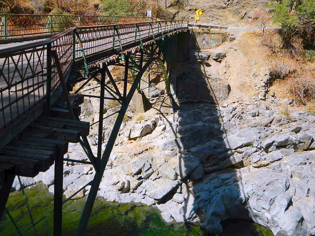
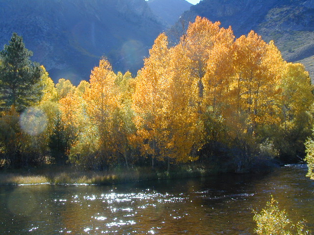
Yuba River Recreation

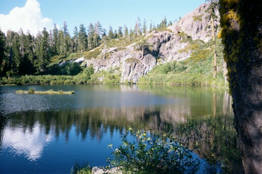
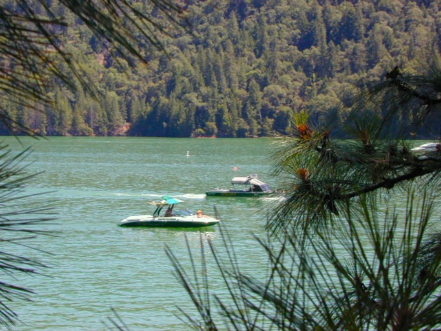
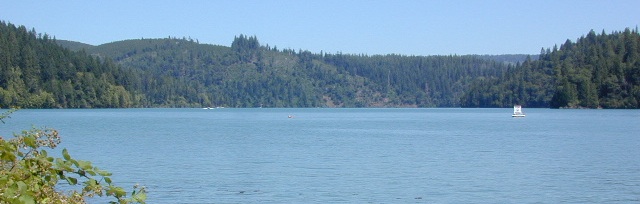
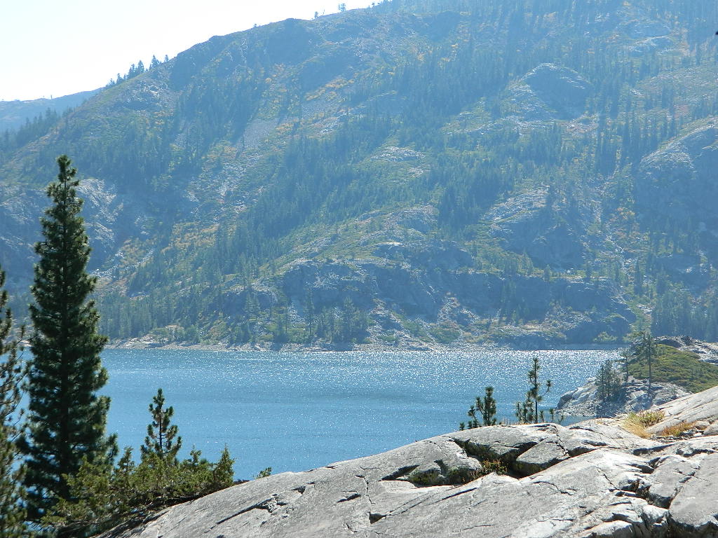
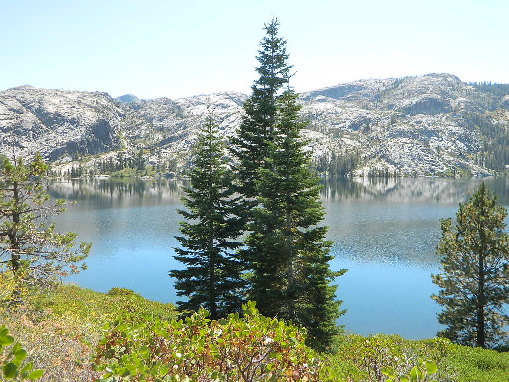
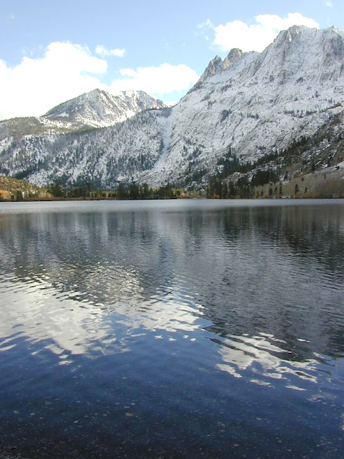
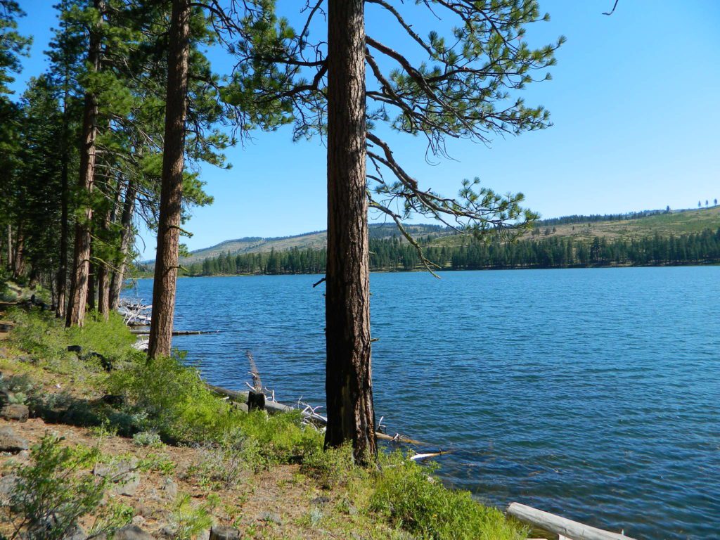
Bullards Bar water is a beautiful teal color of greenish-blue – due to heavy mineral content in the local soil (red dirt) and the dense forest above.
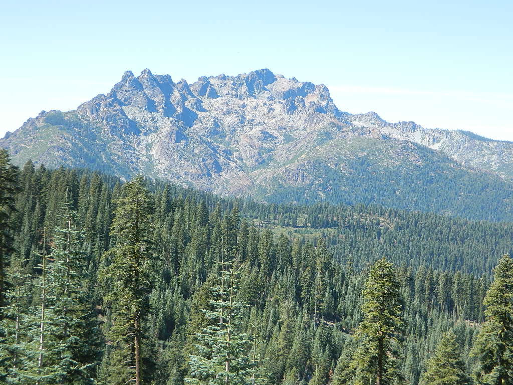
This water comes down the north fork of the Yuba River, as snowmelt from Lakes Basin Recreation Area, the Sierra Buttes, and the Yuba Pass on Highway 49. Northern Gold Country, California.
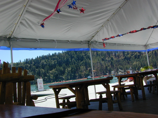
Bullards Bar Lake – Emerald Cove Marina
New Bullards Bar Reservoir
877-692-3201
![]()
![]()
![]()
![]()
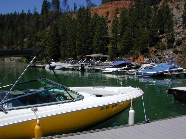
boat in camping
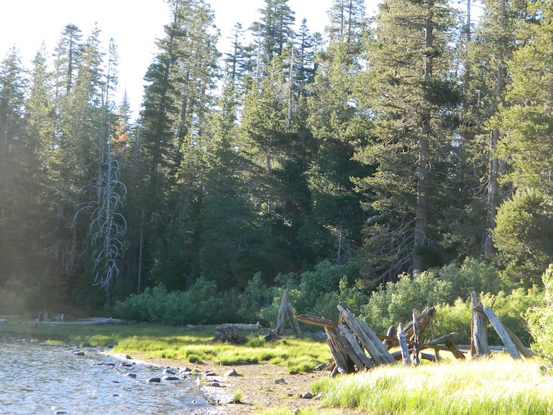
One of the few lakes in the Sierra Nevada that offer boat in camping at developed camp sites, and also to allow boaters primitive camping along the shoreline. No drinking water is available. No pit toilets, so a portable chemical toilet is always required. Plus, pack out all garbage.
No charge for DAY USE areas: parking or boat launch ramps
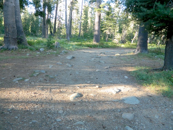
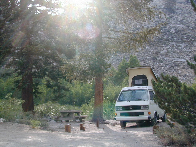
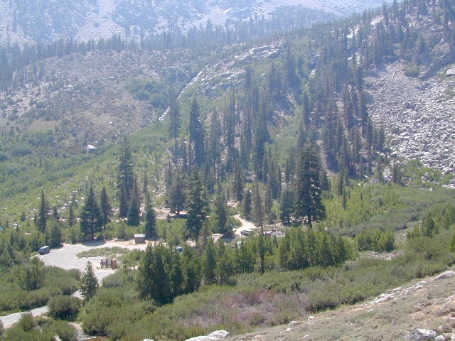
NOTE: Dark Day & Schoolhouse Campgrounds are the only car camping & RV accessible camping on this lake. These both have flush toilets and drinking water piped in. Hiking trails & boat launch nearby. Wheelchair accessible campsites are available.
CAMPS OPEN: APRIL – OCTOBER
Campgrounds @ BullardsBar are usually open from April to October annually and all are closed for winter months.
![]()
![]()
![]()
![]()
![]()
![]()
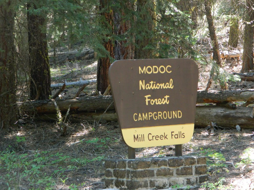
Bullards Bar Campgrounds
camp information 530-692-3200
- GardenPoint: 17 boat-in sites
- Madrone Cove: 10 boat-in sites
- Shoreline Camp: 2 boat-in sites
- Dark Day Walk-In Camp: 30 sites
- Schoolhouse Campground: 56 sites
- Hornswoggle Group Camp
Located 5 miles northwest of Dark Day Boat Ramp on the west side of the reservoir. Boat in only access. It is used as an over flow campground. There are campsites, but no bathrooms. Portable chemical toilet required. More info call Emerald Cove Marina at (530) 692-3200
![]() Bullards Bar Lake located on the Yuba River, bordering
Bullards Bar Lake located on the Yuba River, bordering
between Tahoe National Forest & Plumas National Forest

lake recreation
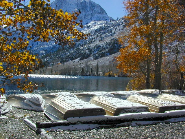
- boat in camps
- canoe
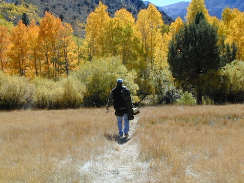
- fish
- houseboat rentals
- kayak
- picnic sites
- sail
- watercraft rentals
land recreation
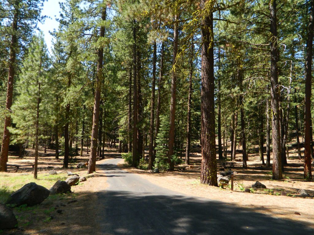
- backpack
- campgrounds
- hike
- mountain bike
- walk-in camps
![]()
also in the area
- Alleghany
- Lakes Basin Recreation Area
- Gold Mining Camps
- Malakoff Diggins State Park
- North Bloomfield
- North Columbia
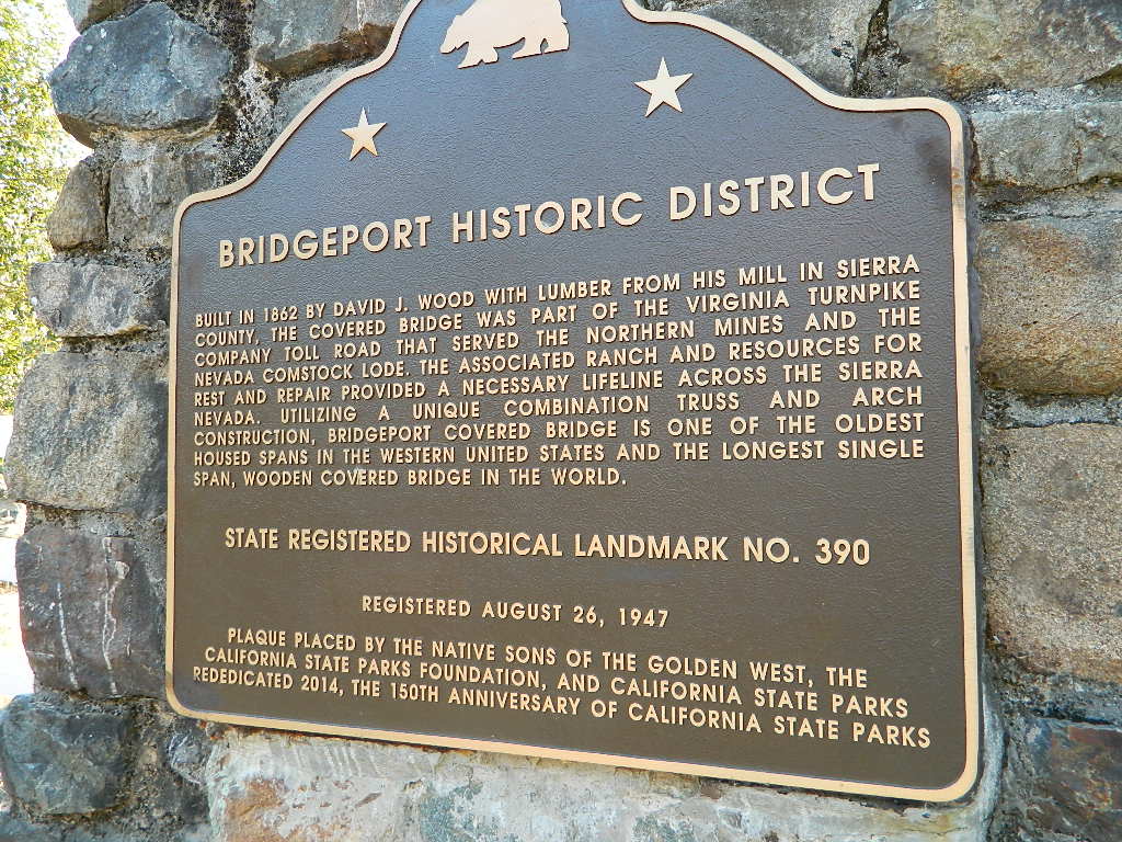
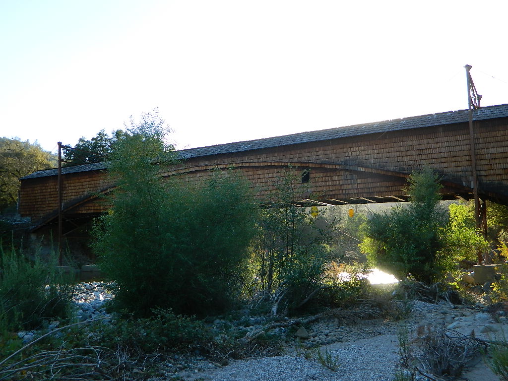
- Oregon Covered Bridge
- Peliocene Ridge
- Sierra Buttes
- Yuba River

Second Spillway – in the works?
Yuba Water Agency has just committed to building a $160 million second spillway at the New Bullards Bar Dam; beginning in 2021, with a completion date of 2025.

https://en.wikipedia.org/wiki/New_Bullards_Bar_Reservoir
https://en.wikipedia.org/wiki/New_Bullards_Bar_Dam

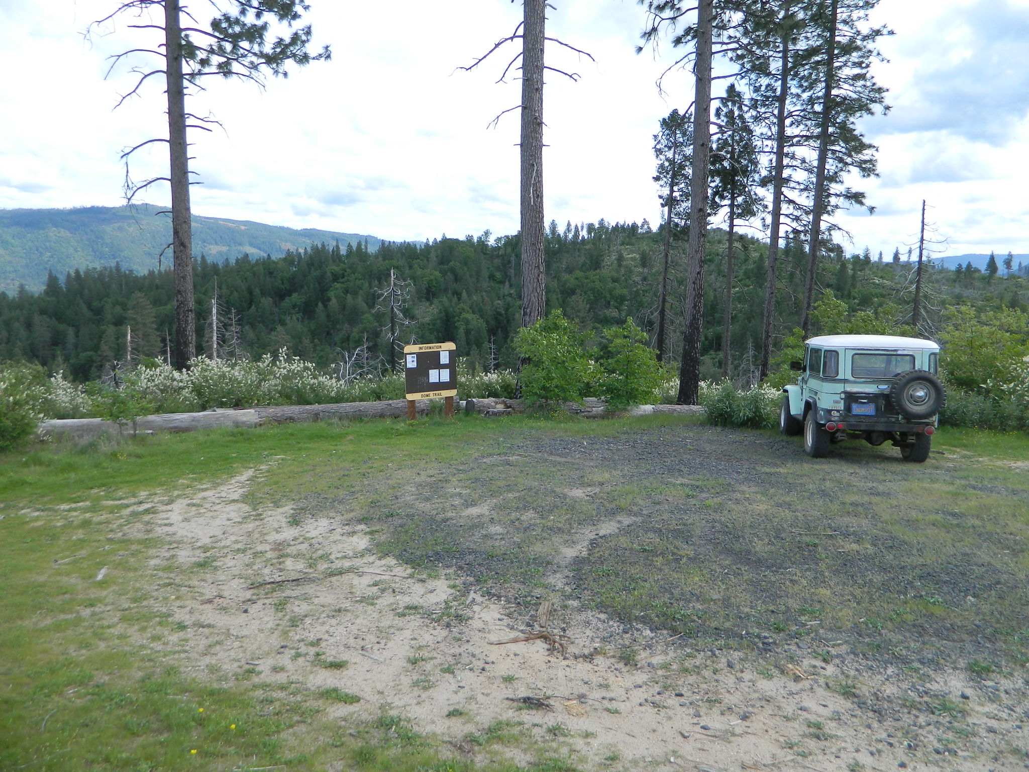
 Motorized vehicles, such as quads, ATVs, dirt bikes, Jeeps & 4x4s must stick to designated routes signed specifically for OHV (off highway vehicle) & you won’t be finding many of those inside National Parks & State Parks, so it’s best to look for BLM or NF lands. Many regular, forest, back roads close in winter due to heavy snow pack & thus become cross country ski, snowshoe or even snowmobiling trails. The best ones can be found in the Sierra Nevada mountains.


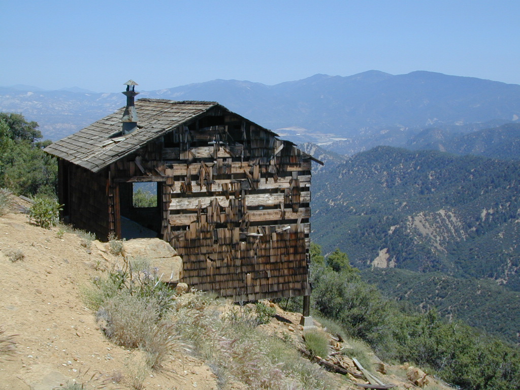
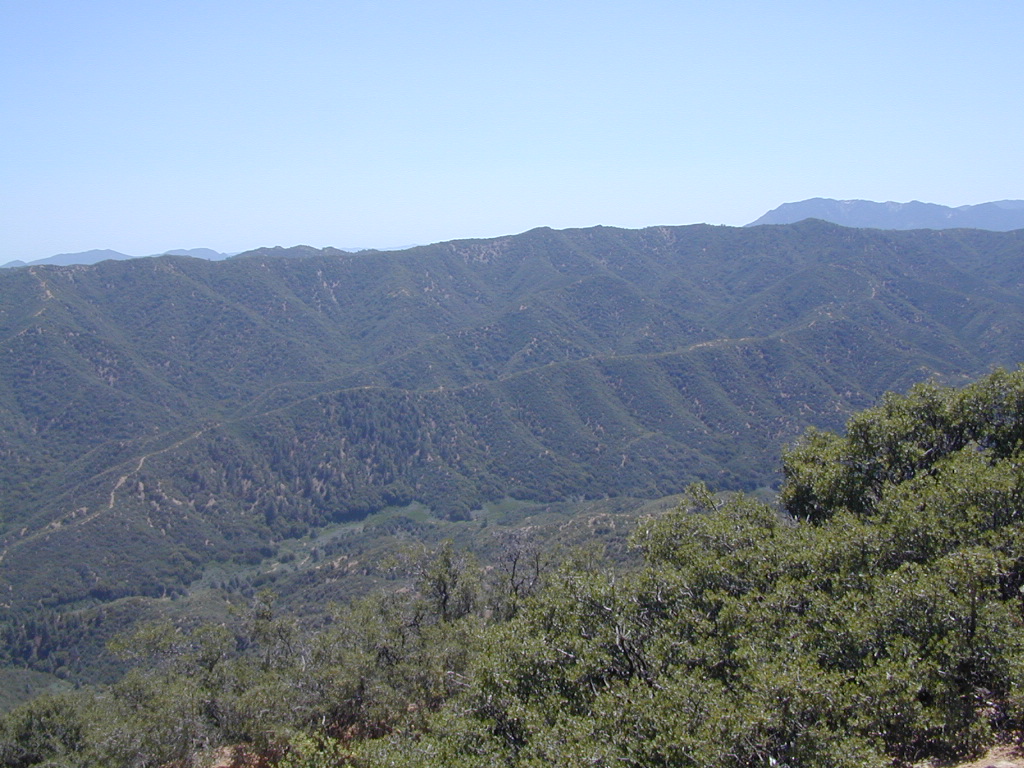
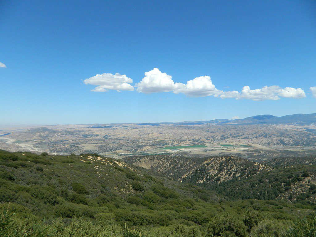

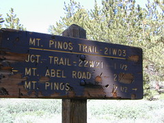
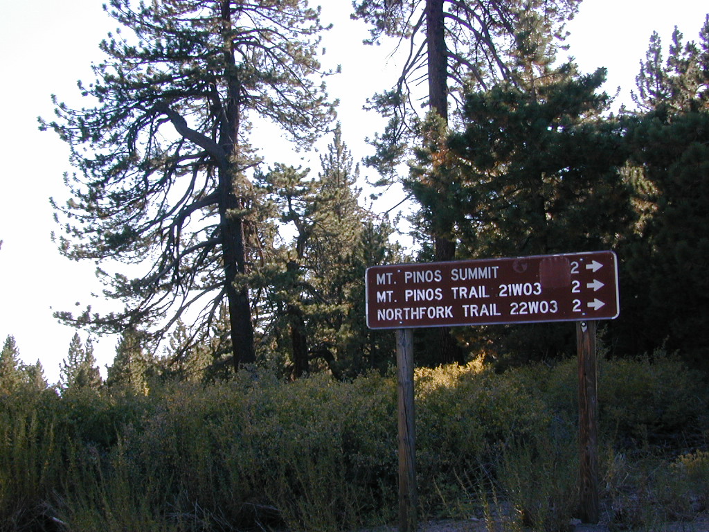
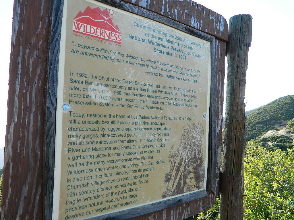
 North of Santa Barbara, CA
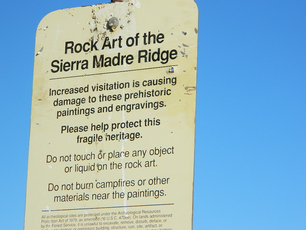


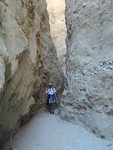
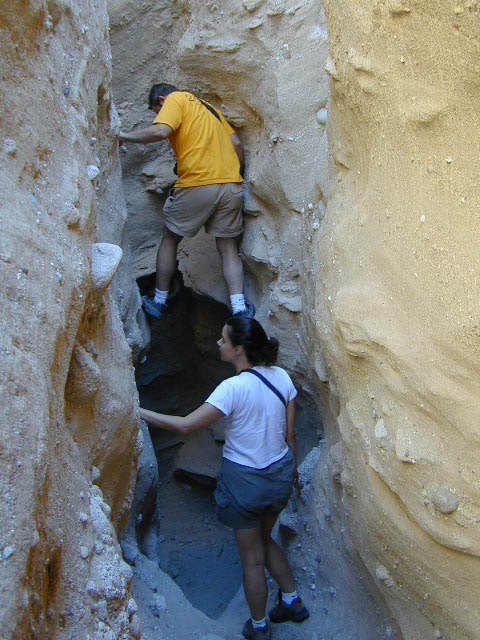
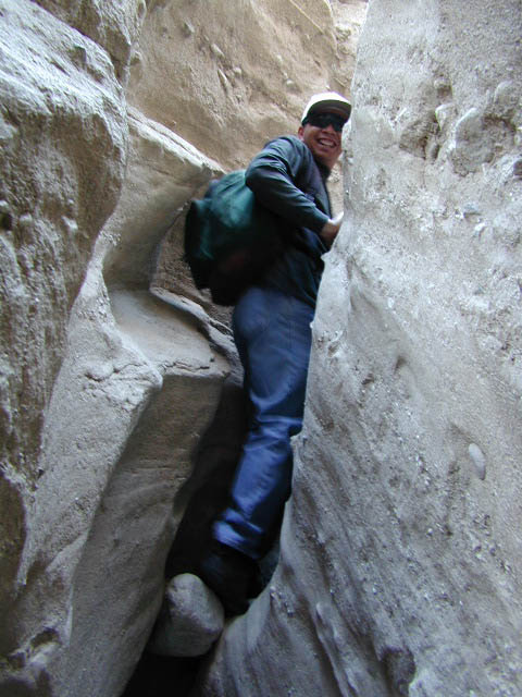
 Desert Slot Canyons – South