Category Archives: Rock Climbing

22S82 – Sequoia NF

Forks of the Kern: Forest Rd# 22S82 – Lloyds Meadow Road
Jerky Meadow Trailhead, Sequoia National Forest

SEPT 2021: Closed due to the Windy Fire

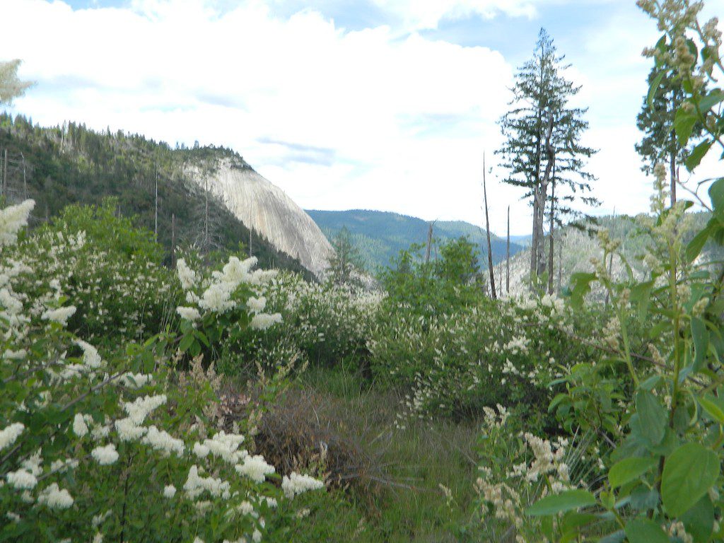
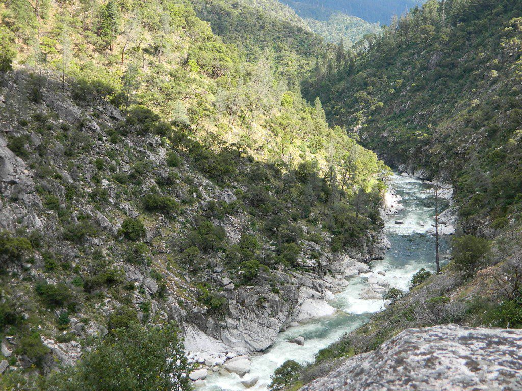
Driving north on Sierra Hwy N of Kernville, California; Passing Fairview & the Johnsondale bridge; After the R Ranch @ Johnsondale, take the right fork off the main highway, which goes deep into Kern River Gorge. This narrow & winding paved road skirts the Upper Kern River Gorge & the impressive Rincon Fault. Numerous primitive camp site can be found on dirt roads off this paved route. The pavement dead ends at Jerky Meadow trail head, which accesses the Golden Trout Wilderness & the Great Western Divide. Backpackers can get to the high country Sierra Nevada & Mineral King in Sequoia National Park from these trails.
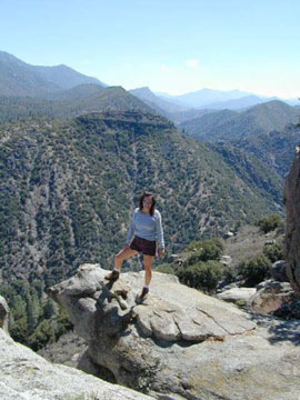
Forks of the Kern

Boy Scout Camp Whitsett is one of the first places you pass, near Sentinel Peak.

The Western Divide Hwy runs parallel to road 22S82; way up above it @ 7000′ elevation – with destinations like Dome Rock & the Needles (2 very cool granite features) that overlook this Kern Gorge. The small community of Ponderosa, CA is also up there, along with the quaking aspen groves & the Trail of 100 Giants. Forest Rd# 22S02 connects paved route 22S82 to the Giant Sequoia highway above.

There are many primitive camp areas way above Kern River Gorge – all located on the right side of this road 22S82. Look for small signs for CAMP AREA #1-6. Camps 1-3 are great for RV campers with creeks & dense forests. Long Meadow Creek is one of the first of many streams, you will cross as driving this paved, winding, canyon route. Camp areas #4, 5, & 6 are the best bet for seclusion, plus awesome hiking trails to falls, granite pools & the impressive Kern gorge. Swimming holes are plentiful. Fishing can be decent at times. Many waterfalls can be found in this region as the tributary streams fall towards the deep granite gorge in the Sierra Nevada range. All roads off of 22S82 are dirt roads & most are passenger car accessible. Wetter months could be challenging. Some routes back here are considered to be 4×4 routes tho, so know your vehicles limitations. High clearance is needed to reach some camp sites. Summers can be busy.

This area was burnt from recent wildfires in 2002-2005, but the primitive, dispersed campsites near the streams are full of vegetation & making a nice comeback. Alder Creek runs down from the Sequoias, into Dry Meadow Creek nearby.

Lower Peppermint Campground @ 5300′ elevation, on the west side of the road, is the only developed camp ground on this main forest road. Lower Peppermint has 17 spots, piped water, & picnic tables. Peppermint Meadows & Peppermint Creek are adjacent to the camp area.

Lloyd Meadows @ Sequoia Forest Road# 20S67 – is the Forks of the Kern Trailhead & the dirt road that accesses it, is very popular among equestrian campers. Freeman Creek joins Lloyd Meadows Creek near Pyles Camp. There is a small developed campground called “Forks of the Kern”. Steep trail leads down to the granite gorge where Little Kern River meets the main Kern River; Rattlesnake Creek & Ninemile Creek also join the Kern River in this 10 mile stretch. Kern Hot Springs requires a backpacking trip.

Sequoia National Forest

Sequoia National Forest MAP

GOLDEN TROUT Wilderness MAP USDA
GOLDEN TROUT MAP (Tom Harrison)

Closest small towns are:

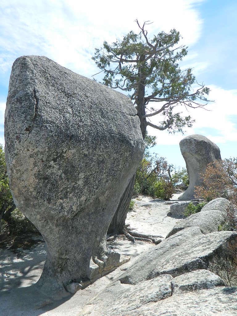
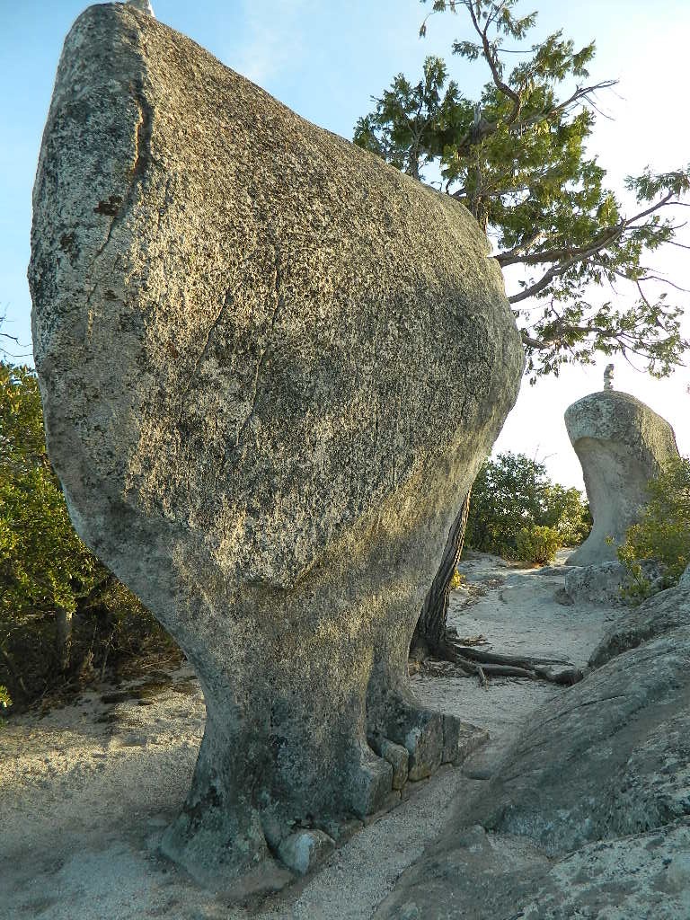
Footed Rock

Footed Rock @ Bald Rock
Berry Creek, California

Before and After Photo

Wildfire: Bear Fire / North Complex 2020

The Skinny Lone Cedar hangs on with Footed Rock. Bushes on the right side, had the flames licking at this tiny tree.

Footed Swipe

Berry Creek, CAfooted rock 95916

Many thanks to whoever cut/broke the mistletoe off in recent years. I never seem to hike with my loppers.

Bald Rock California

Footed Rock is a part of the popular Bald Rock hike. summer 2021 CURRENTLY CLOSED hiking trail in Berry Creek, CA

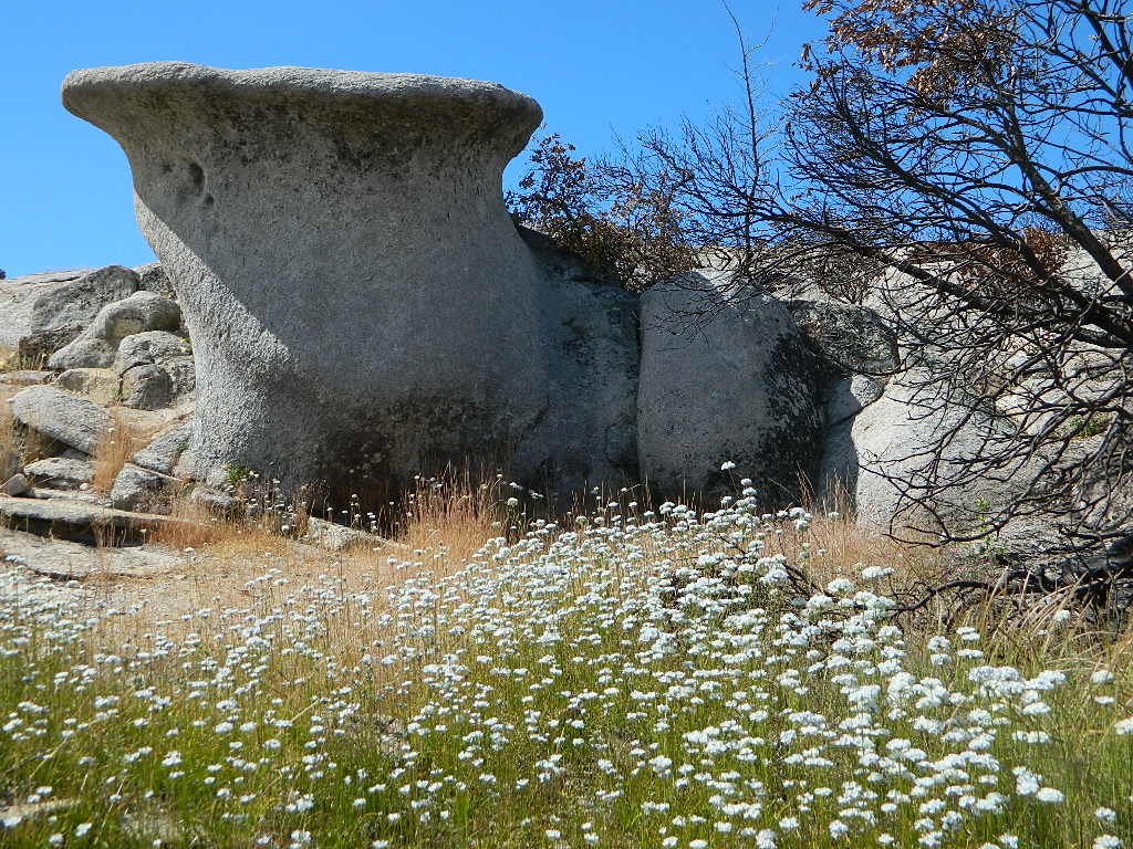
Mushroom Rock
Mushroom Rock @ Bald Rock


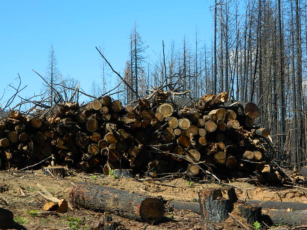
Lumber for Market
Lumber for Market, just sitting on the side of the road.

Log Truck Drivers make over $100/hour – yet there is still a job shortage in 2021. Go figure!

mountains

see more swipe photos –

Trailhead CA

bike  mountain biking
hike  hiking trailhead
bkrd  4×4 trailheads
horse equestrian trails

Rock climbing, backpacking, fly fishing creeks, snowmobiling, you name it. No matter what kind of trail you seek in California, we have the maps to get you out there, this weekend. If you seek a week long adventure in the Sierra high country, or a weekend getaway destination you’ve never heard of, or a quick after work hike near your home town, we just might have it listed. And we probably have the waterproof, topographical map too.

tentcabinyosemite

DOGS & BIKES on TRAILS:

Dog friendly trails include almost anything within the CA National Forests. Remember that most National Parks & State Parks literally forbid dogs on hiking trails. Mountain bikes can access only certain trails in parks, but in the National Forests nearly every trail or dirt road is up for grabs.

OHV ROUTES:

snomoiMotorized vehicles, such as quads, ATVs, dirt bikes, Jeeps & 4x4s must stick to designated routes signed specifically for OHV (off highway vehicle) & you won’t be finding many of those inside National Parks & State Parks, so it’s best to look for BLM or NF lands. Many regular, forest, back roads close in winter due to heavy snow pack & thus become cross country ski, snowshoe or even snowmobiling trails. The best ones can be found in the Sierra Nevada mountains.
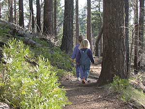
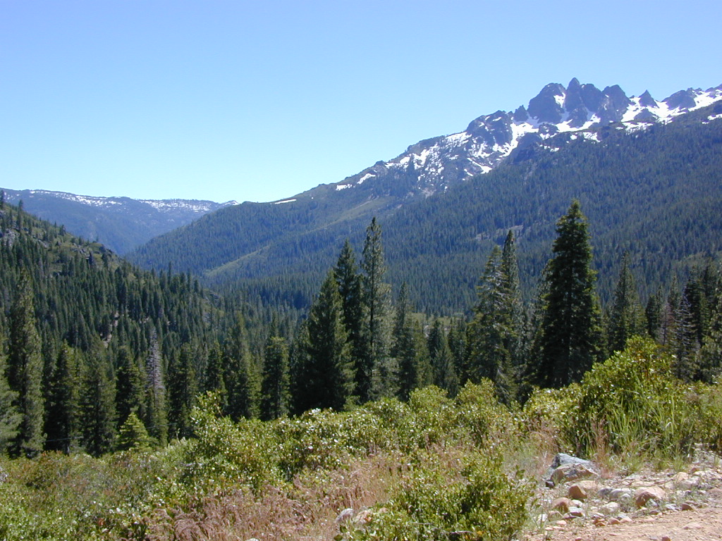
Explore a decent selection of random trail heads within Cali.

hiking in Forest

And if you ever get bored with “reading” text about trails, you can always search the visual database of amazing Cali scenery over at DanaMite’s flickr site

California Fire Road

Sierra Buttes California

sierra buttes

The Sierra Buttes

elevation: 8591′

Northern Gold Country California at the headwaters to the Yuba River

Lakes Basin Recreation Area
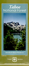
Tahoe National Forest
near Plumas Eureka State Park

Gold Lake, Sardine Lake, Upper Sardine, Smith Lake, Packer Lake, Grass Lake, Sand Pond, Goose Lake, Snag Lake, Long Lake, Jamison Lake, Round Lake, Deer Lake, Tamarack Lakes, Young America Lake, Frazier Falls

Sierra Buttes

California is the land of granite peaks. Rocky, exposed mountains that stick up out of the landscape for all to see. Southern Cal has a few of them, but most granite peaks in California are found in the Sierra Nevada.

US 395 Eastern Sierra impressive ridge lines are the highest and most photographed and Lake Tahoe has plenty of big granite surrounding it. The farther you go north, the less granite you will see – not because it isn’t there, mostly cuz it is just buried with tall dense forests.

lakesbasinhikers
lakes basin day hikers

NORTH SIERRA – The Sierra Buttes are the impressive granite peaks located in between the North fork of Yuba River and Sardine Lake.

SE of Mount Lassen and NW of Lake Tahoe, at the tippy top of the historic gold country. Gold Lake Road #24 connects Gold Country Highway 49 to North of Tahoe Highway 89. Road #24 is often closed for winter snow, so most visitors enjoy this region in the summer months.hiker

Sierra Buttes Fire Lookout Hike

The infamous PCT (aka. Pacific Crest Trail) passes the peak and goes north through this basin of alpine lakes, so backpackers are often seen. Tent camping is very popular, as well as RV camping w/ numerous developed campgrounds and open camping as well.  Some of the hard to reach primitive camp sites (next to lakes) can be accessed via 4×4 vehicle. Gotta have a good topo map.

Downieville is well known for the mountain biking trails, so this whole region is covered with amazing trails. Snowmobilers and cross country skiers love the area during a good winter snow and they can access this area from the north off Hwy 89.


View Larger Map

Sardine Lake

hiking, biking, backpacking, camping, fishing, kayaking, cross country, & snowmobiling

campsite snag lake
Snag Lake (free) Camping on Gold Lake Highway

lakes basin views

Sierra Buttes Map Tahoe National Forest

Silver Lake @ Bucks

Silver Lake from Above

Silver Lake @ Bucks Lake Wilderness

(Plumas Co)

Plumas Road #24N29, off Bucks Lake Road
East of Bucks Lake, California.
a six mile, one lane, dirt road is the only vehicle access into this high elevation, dammed reservoir, tucked back against the wilderness. Secluded lake campsites await, you’ll just need to get a little dusty first. The turn off, at a small brown sign reading “Silver Lake”, one which is very easy to miss – due to the amount of homes, cabins, fencing and driveways in the vicinity.

bucks trailhead

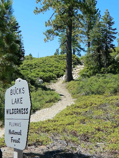
Bucks Lake Wilderness
Plumas National Forest

All Bucks Lake Campgrounds

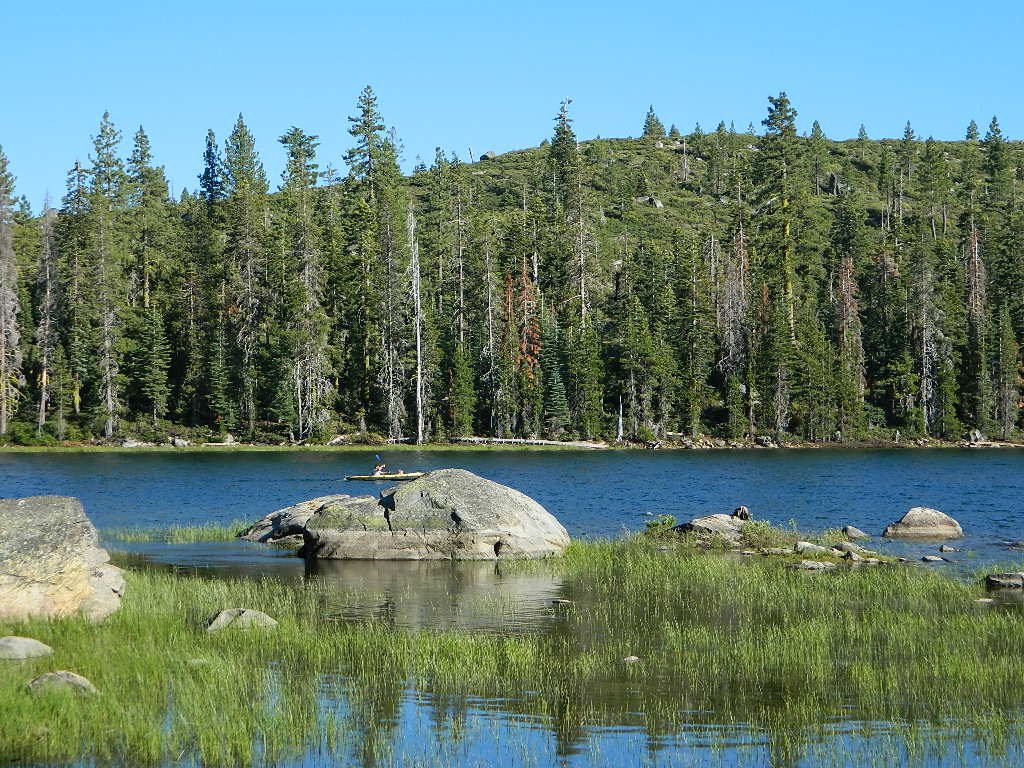
Kayaker @ Silver Lake

hiker

No swimming allowed at this Silver Lake, as it serves as a drinking water source for the neighborhoods below. Canoe & kayaking are allowed. Fishing is also popular at this location. Hiking trailheads at Silver Lake lead to the PCT (Pacific Crest Trail), Mount Pleasant, Spanish Peak and a small gem of a swimming hole, we call mini Gold Lake.

Bucks Lake Wilderness Map

NFS Campground @ Silver Lake, near Quincy, CA

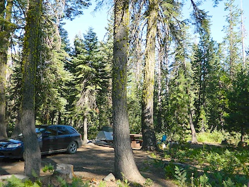
This small campground is actually set downhill from the rock earthen dam, which is something to ponder before/during a big earthquake. With sites 1-5 in a shady forest area and the others a bit closer to the lake, no campsite is too close to another. These are all well-spaced-out sites, providing decent privacy and minimal noise from neighboring campers. No campsites are located at the lake edge, as the rocky dam is a long structure and quite complex with water control measures.

All the campsites have new bear boxes for food storage, cuz ‘wilderness’ usually means black bears are roaming about. Deer tend to frequent campsites 1 & 2.

2020 update:
overnight camping fees now charged at this campground

silver camp 5

Silver Lake Campground NFS

campground

• Elevation: 5800′
• Number of Sites: 9
• Vehicle Accessibility: RV 22′
• Campsite Reservations: No
• Camp Fee: Yes
• Toilet: Vault
• Water: No piped/potable
• Length of Stay: 14 Days
• Season: May – October
• Trailheads: PCT, Gold Lake, Rock Lake, Granite Gap, Bucks Lake Wilderness

silverbackdrop

As with most of the high elevation lakes in California, winter months can mean deep snow and dirt road closures. This campground is usually open through the end of October, but call head to the local rangers if in doubt.

Plumas National Forest
Mt. Hough Ranger District
39696 State Highway 70
Quincy, CA 95971
530-283-0555

ranger

See all Silver Lakes in California

Dome Trail 3

Dome Trail

Dome Trail Hike
near Bald Rock in Berry Creek

Plumas National Forest Trail #6E21
Access Road #21N51Y
Middle Fork – Feather River
Sierra Nevada mountains @ Berry Creek, CA

On paved Bald Rock Road a rusted metal sign reads “Dome Trail 3” which is where the fun begins, on the dirt.

3 mile drive to trailhead from pavement
4.6 miles RT hike
w/ a 2000 feet elevation drop to the river

Plumas Forest Rd #21N51Y is located in the forested community of Berry Creek – opposite from Upper Zink Road. Road 21N51Y becomes Bean Creek Rd #21N36: The forested route passes a few private properties and gates, the dirt road leads 3 miles down to an old wildfire (2008) burn area and eventually dead-ends at the Dome trailhead. The hiking trail descends down while overlooking the Bald Rock Canyon with the Middle Fork of the Feather River.

Rated as a moderately difficult hike: Steep hillsides, plenty switchbacks, downed trees across trail, boulder hopping, cliff edges, extreme heights and rock slides. Delighted by dozens of wildflowers, the old metal staircase still in use, steel pipe railings and the minimal fencing and of course, the big river deep inside an impressive rock canyon. Sierra Nevada spectacular!

Trailhead Parking

Indian Creek spills down into Curtain Falls up the canyon, sometimes within view. Secluded Milsap Bar Campground is also up the river from here. The stretch of the whitewater river is popular with rafters and kayaks. Rock climbers gravitate to the big walls above. Bring a picnic lunch and water filter for this amazing all day hike.

Granite Domes & Bald Rocks

P4080034.JPG

There are numerous granite domes and bald rocks within the Plumas National Forest, most located near the big river canyons. This particular granite dome is situated overlooking the Middle Fork of the Feather River, and it is called Bald Rock Dome w/ 3509′ elevation.

MIddleForkFeather

Not to be confused with another shorter hike nearby on Bald Rock Road at a well marked trailhead for Bald Rock, which over looks the forest and valley to the west side. The official peak is named “Big Bald Rock” as listed on most maps.


Camping Vegas

Camping & Hiking Vegas

Valley of Fire Park
Valley of Fire Park

Vegas National Park
Desert Park Areas

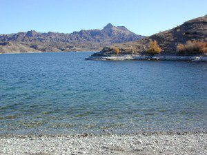
The lands surrounding Las Vegas are NOT managed by the NPS, National Park Service – but Lake Mead is considered a National Recreation Area. Hoover Dam is located at the south end of Lake Mead, then the Colorado river connects further down stream to Lake Mohave.

Tourist are no longer burdened by the constant flow of traffic over the dam, because a beautiful, new bypass bridge has been recently built above the dam.

Boating, kayaking, fishing, hiking, off-roading and camping are popular attractions at both the reservoir lakes. Mohave Lake is lesser known and therefore, less crowded. 4×4 may be need to reach certain coves at Mohave.

Vegas Hot Springs
(hike-in or kayak access only)

Most of the public lands in this Vegas desert are managed by BLM or the USDA National Forests. The Great Basin National Park is located in central Nevada, nearly 300 miles NW of the city of Las Vegas.

Lake Mohave
Lake Mohave on border of California, NV & AZ

Red Rock Vegas

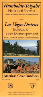
redrockmap1997

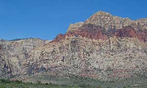
Some folks know these rock walls as Red Rock Canyon, or Red Rock Park near Vegas – but the official name now ‘Red Rock Canyon National Conservation Area’ and the lands are managed by the BLM.

redrock vegas

The closest red rock park to Las Vegas, this one is located at the far west end of Charleston Blvd. – an easy exit to find off the freeway Interstate 15. Day hikes, rock climbing, mountain biking, picnics and a large BLM campground. This desert range can get very windy and the only campground around is poorly located along the busy highway, on a ridge. Bring good tent stakes and be prepared for serious wind. Better camping options can be found over at the higher elevation Mount Charleston, see below.

Vegas Valley of Fire

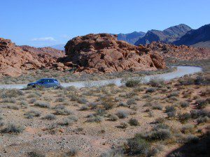
This beautiful desert park is 60 miles N of Vegas and well worth the day trip to explore native petroglyphs, hike among red rocks, sandy washes and just relax to take in breathtaking vistas. See more about the Valley of Fire State Park

Mount Charleston Camping

Several developed campgrounds are available in a pine forest setting. Some may charge a nightly fee, or a day use fee. Mary Jane Falls is well worth the hike. Two lodges grace this mountains, The Mount Charleston Resort is the big log and stone cabin along a straight away on Kyle Canyon Road #157. The Mount Charleston Lodge is above at 7717′ elevation and has a popular restaurant and nice modern mountain cabin rentals.


View Larger Map

Mount Charleston Campgrounds
USDA NFS

Humboldt-Toiyabe National Forest

Spring Mountains National Recreation Area

Dolomite Campground
8,500′ elev
open May-Oct

Fletcher View Campground
7,000′ elev
open all year

Hill Top Campground
8,400′ elev
open May-Oct

Mahogany Grove Campground
8,000′ elev
open May-Oct

McWilliams Campground
8,500′ elev
open May-Oct

Old Mill Campground
8,300′ elev
open May-Oct

Red Rock in Las Vegas


California Topo Maps

topo linesCalifornia Terrain

Topographical maps feature the terrain of a wilderness or hiking area, through colored shading & thin contour lines to represent elevations. Park boundaries, trail routes, trail heads & campgrounds are noted, as well as major landmarks like lakes, rivers, creeks, meadows, peaks, canyons, hot springs, waterfalls & all roads (dirt or paved).

Backpackers & hikers must rely on such maps for planning & trekking their journey. Hard copy, printed, waterproof maps are top choice, but topo maps now come in digital format for download as well. DanaMite has recently started including these digital map links within the Total Escape Map Shop – totalescape.net/shop/

Here in California we are lucky to have so much public land available to us for enjoyment. Numerous map vendors make maps for nearly all of the regions across California.

Affiliate Button

QUADS: 7.5 minute topographic quadrangle maps, available from the USGS, can be found online w/ Avenza Maps (often for free) and also, direct from the government site https://www.usgs.gov/products/maps/topo-maps

A while back, the NFS offered handy books of these sought-after topo maps. They were compiled into booklet form called an ATLAS, with sturdy covers & a spiral bound. Overall size is close to 9″x12″ & they are much easier to handle than the individual paper maps. Look for Forest Topo Atlases

List of topo maps available for California:

wilderness maps CA kings canyon
conradkid
Hiking the High Sierra @ 12,000 feet above sea level

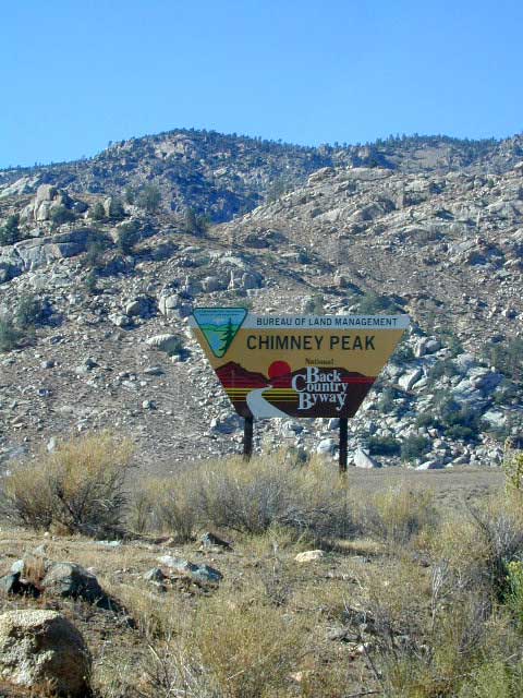
Chimney Peak Backcountry Byway

chimney peak Wilderness

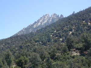
East of Lake Isabella and west of Walker Pass, there is a small community called Canebrake along Highway 178 Canebrake Road, a graded dirt road climbs up into pinyon pine forests. Lamont Peak (aka Lamont Pinnacles) is a decent hike & rock climbers dig it too.

Lamont Peak

Chimney Creek Campground is along the main road and has RV access (28′ max), for the motorhomes who do not mind a little dirt road driving. Easy trail access to numerous area hikes. The PCT is routed close by.

Long Valley Campground is tucked way back in the boonies with trailhead leading into the granite Dome Lands; Fishing and river access to the South Fork of the Kern.

Long Valley Loop
Long Valley Loop Road (2001)

Long Valley Loop Road circles the Chimney Peak Wilderness, which skirts the Domeland Wilderness. THE LOOP is washed out and ROAD is NOW CLOSED in one portion. See BLM web site for up to date info.

[ see the photos from 2001 ]

nearby towns –

ALTA SIERRA
LAKE ISABELLA
KENNEDY MEADOWS
KERNVILLE
WOFFORD HEIGHTS

maps of the region –

SEQUOIA NATIONAL FOREST MAP
DOMELAND WILDERNESS MAP
HIKING MAP PCT #3 (PACIFIC CREST TRAIL)

Tahoe Lake Map

Tahoe Maps: trail maps

lake camp, hike, mountain bike, off-road, ski, snowmobile

Tahoe Trail Maps / Tahoe National Forest

tahoe hiking maps

Numerous State Parks dot the shoreline at Tahoe, while the National Forest lands and Wilderness Areas span most of the peaks above. Camping, backpacking, boating, kayaking, fishing, climbing, mountaineering, mountain biking, snow skiing, snowmobiling are all popular recreation in this Sierra region. US Highway 50 and Interstate 80 are the main western access routes to Lake Tahoe. US Hwy 395 leads to Tahoe, up from the Eastern Sierra and Southern California.

Wanna find every waterfall or every creek to fish? This is the place that will help you find them. Easily, with good old fashion printed maps. Hard copies, some waterproof & tear resistant, most with topographical data and all roads, trails, campgrounds and parks. Whether or not you water ski or cross country ski, these maps will save your ass – when you are way back there in the boonies.

Tahoe’s Rubicon Trail connects the historic Gold Country to the alpine lake via granite wilderness sky ways above 7000′ elevation, but a real 4×4 and overnights are required. The back roads and trails are endless in these parts of the Central Sierra Nevada mountains.tahoe maps

keep tahoe blue

Nearby attractions surrounding Lake Tahoe –

Tahoe National Forest
Tahoe Rim Trail
Rubicon 4×4 Trail
Lakes Basin Recreation Area
Sierra Buttes
Desolation Wilderness
Grover Hot Springs
Blue Lakes
Hope Valley

cabin rentals

John Muir Wilderness

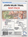
John Muir Hiking / John Muir Map

High Sierra Hiking

California Wilderness Area Acres Topographical Maps
John Muir Wilderness

elevations: 4000′-14,496′

584,000 John Muir Wilderness Maps
Inyo National Forest

JMT

High Sierra Nevada / Eastern Sierra

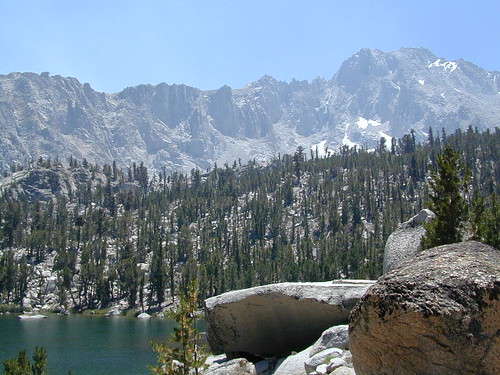
Rugged Sierra Nevada high country. The highest peaks in the Sierra Nevada mountains can be found inside this Wilderness. Many peaks are well above 13,000 feet. Granite, glaciated basins, big snow, alpine lakes, meadows, wildflowers, streams, creeks, cliffs, jagged peaks. Mount Whitney stands as the tallest mountain in the lower 48 states.

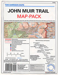
John Muir Trail Maps
– JMT Topo Map

lacontedivide
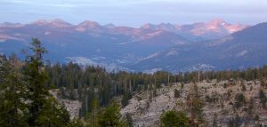
Le Conte Divide, Sierra Nevada California – 12,000′ elevation peaks

Eastern access via steep granite hiking, off US Hwy 395 (Bishop, Independence, Lone Pine)
Western access backpacking thru Kings Canyon National Park, Hwy 180
or Sequoia National Park, Hwy 198 (Mineral King, Three Rivers)
or Sierra National Forest, Hwy 168 (Lake Edison, Florence Lake, Courtright Reservoir)
North access via backcountry Yosemite National Park, Hwy 120
or Mammoth Area towns (Lee Vining, June Lake, Mammoth Lakes)

Hundreds of miles of hiking trails, some of the highest peaks in the nation. Trails open to equestrian and foot traffic only. Trailhead quotas limit the amount of day hikers and backpackers that an access the Wilderness daily. Wilderness permit required: Inyo National Forest Permits

Eastern Sierra Visitor Center
Inyo Visitors Office

JM Topo Trails

USDA National Forest
USFS, NPS, BLM

NFS NPS

Eastern Sierra Interagency Office
US Hwy 395 @ SR 136
Lone Pine, CA 93545
760-876-6200

JMT
JOHN MUIR TRAIL- John Muir Wilderness

nearby towns, parks & resorts:

Aspendell
Big Pine
Bishop, CA
Courtright Reservoir
Florence Lake
Independence, CA
Kings Canyon National Park
Lake Edison
Lone Pine, CA
Mammoth Lakes
Olancha, CA
Tom’s Place
Wishon Reservoir
Yosemite National Park

www.flickr.com

Maxson Trailhead

If you are a backpacker wanting to easily access the John Muir Wilderness, the paved parking area of Maxson is the trail head for you. The Courtright Reservoir is located at over 8000′ elevation, w/ granite domes & alpine scenery all around. This place is way back behind Dinkey Creek, past the McKinley Sequoia Grove inside a deep granite gorge. The Sierra National Forest is the region, which is south of Yosemite National Park. The paved route is a long one from Shaver Lake, via Dinkey Creek Road, but the rewards are great. An all day adventure and a side trip not to be rushed.

Warning: You could spend a whole day just driving & sightseeing in this area! Meadows, wildflowers, dirt roads, trails, Big Creek, McKinley Grove of Sequoias, Wishon Reservoir, the list goes on. All the way out to the Wilderness boundary, Courtright Lake is not a quick or easy drive.

The hikers trailhead is located at the end of Courtright Rd. Cross over the big dam to the right & drive approx one mile; look for signs on the right side of the road. There are minimal areas to set camp at this granite , windswept face. Good luck getting a tent stake in the ground. Rock rules here. There are a few developed Campgrounds on the opposite side of the lake which may be a better choice for car camping. This Maxson parking lot is primarily for backpackers.john muir maps

nearby locales –

maps of this Sierra region –


View Larger Map

Dusy Ershim 4×4 route start right here too – on the opposite side of the road. It’s second only to the Rubicon Trail, as far as High Sierra rocks & terrain.

Rock Climbers also love this spot for the granite domes & walls. Hiking all the way around this lake is a full day trip, with lunch and sightseeing stops. A pleasure not to be rushed.

dusy ershim

Hiking Mount Whitney

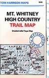
Mt Whitney Trail / Mount Whitney Map

mt whitney mapWhen the snow melts in the High Sierra, the rush is on! This is one of the most popular backpacking trips in the Eastern Sierra, as Mt Whitney is the highest peak (14505′ elevation) in the contiguous United States of America.
Day hikes to the summit should only be attempted if you are in excellent physical shape & used to high altitude hiking. There are so many folks trying to hike this sought-after peak in the warmer summer months (MAY-OCT) that the National Forest has put tight restrictions on these Mount Whitney trails. You must obtain a Wilderness hiking permit for this hike & that requires waiting in a long line of outdoor enthusiasts that also seek this prime destination.

The Lone Pine Ranger station holds an annual Whitney trail LOTTERY, where you must apply a year in advance & be granted a permit before you can set foot on this popular hiking route.

An alternate backpacking route to Mt Whitney is the southern ridge line from the Cottonwood Lakes trailhead, but you still must verify with local authorities for permits & Wilderness passes.

The Alabama Hills, between US Hwy 395 @ Lone Pine CA and the Whitney Portal offers camping and mountain biking trails with excellent views of Mount Whitney from below. A short drive up to the portal & you can stand in the waterfall mist & then do a day hike up to Lone Pine Lake.

Now that we have you salivating for this epic adventure, you can start your dreaming & real planning by ordering hiking topo maps of the region. Then after you have thoroughly reviewed the maps, the terrain (as well as your own physical condition), you can contact the Inyo National Forest / Lone Pine ranger office for more specifics on dates & details. This may take years of planning to make it happen.

lone pine roads

The Alabama Hills sit at the base of Mt Whitney, California

Castle Crags Wilderness

NorCal Hiking
Castle Crags State Park
CastleCrags Wilderness

12,232 acres
Northern California Mountains
South of Dunsmuir, CA
Interstate 5
exit #724 – Castella

backpacking, camping, creek fishing, hiking, mountaineering, lakes, rock climbing, snowshoeing, swimming, waterfalls

About an hour north of Redding, you can see those impressive peaks off to the left above the lush forest. Way up off the west side of I-5, lies a hiking paradise of scenic lakes, waterfalls and wildflowers. Opposite the freeway from Mount Shasta; Just south of Lake Siskiyou.castle crags

Castle Crags Wilderness neighbors the Castle Crags State Park, which is surrounded by Shasta-Trinity National Forest. This area is named for 6,000′ tall glacier-polished peaks and pointed crags. Due to their relatively low elevation, year-round recreation, hiking, backpacking, and rock climbing are popular spring through fall. Snowshoeing near Castle Lake is excellent.

Castle Crags State Park
530-235-2684

Castle Crags State Park Campground
76 developed campsites
6 environmental campsites

Max Camper Length: 27′
Max Trailer Length: 21′

28 miles of hiking trails (2.7 mi access trail to Castle Crags Wilderness)
The Pacific Crest Trail also passes through the park.
Dogs not allowed on park trails.

Shasta-Trinity National Forest
Mount Shasta Ranger District
204 West Alma
Mt. Shasta, CA 96067
530-926-4511

Climbing at the Crags:
the Cosmic Wall & beyond

regional history: The northwest area contains the largest glacial cirque, Castle Lake, which is near where the Modoc War’s 1855 Battle of Castle Crags took place. Now a historical landmark, the battle was fought on a ridge saddle between the lake and what is known as Battle Rock. The Wintu tribe inhabited the area, they called the crags the Abode of the Devil and the Spanish explorers called it Castle del Diablo (Castle of the Devil.) read more on wiki

nearby towns –


View Larger Map

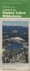
Dinkey Lakes Wilderness

Central Sierra Nevada

Wilderness lakes
Courtright Reservoir w/ CLIFF LAKE trailhead

Dinkey Lakes California

Dinkey Creek Road
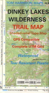
Tom Harrison Dinkey Map East of Shaver Lake, Hwy 168

30,000 acres

Sierra National Forest

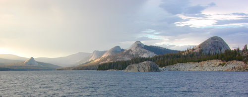
Located in the high elevations between Shaver Lake and Courtright Reservoir is the Dinkey Lakes region. Granite domes and alpine lakes are the key feature of this mid-Sierra forest. John Muir Wilderness is located on the east (right) side of Courtright, while Dinkey Lakes Wilderness is on the opposite west (left) side.

  • alpine lakes
  • backpacking
  • camping
  • creeks & streams
  • cross country ski
  • fishing
  • granite domes
  • horseback trails
  • hiking trails
  • off-roading
  • rock climbing
  • snowmobiling
  • snowshoe
  • stargazing
  • wildflowers
  • wildlife viewing

4 wheel drive trails serve some of the Wilderness boundaries. Dusy Ershim OHV Trail (pronounced ‘doosey’) crosses the boulder strewn terrain for 30 rugged miles, from Courtright to Kaiser Pass. Road #8S10 is known as ‘Red Lake Road’ and pretty popular among 4x4s and fishermen. This high clearance 4×4 trail accesses both scenic lakes – Red Lake and Coyote Lake, as well as Dinkey Wilderness trailheads.

Trailhead Access:

Access the trailheads on the north side of Dinkey Creek Road, a paved route which connects Shaver Lake to the Sequoia McKinley Grove and then on to Wishon and Courtright. Rock Creek Road #9S10 becomes dirt and leads up to the Dinkey Lakes hiking trails.

Paved Dinkey Creek Road leads out to the Trails End trailhead. Dinkey Creek and main Campground is located at 5840' elevation and tucked deep in the forest, about 10 miles east of Shaver Lake. Beyond the Sequoia grove is Wishon & Courtright Reservoirs w/ Cliff Lake trailhead. All the other trailheads located at these large lakes lead over to John Muir Wilderness.

Paved Dinkey Creek Road leads out to the Trails End trailhead. Dinkey Creek and main Campground is located at 5840′ elevation and tucked deep in the forest, about 10 miles east of Shaver Lake. Beyond the Sequoia grove is Wishon & Courtright Reservoirs w/ Cliff Lake trailhead. All the other trailheads located at these large lakes lead over to John Muir Wilderness.

The Dinky Creek locale (on most maps) is located at the main Dinky Creek Campground, along Dinky Creek near the historic Dinky bridge on a small, paved, side route north of the main road. Although this summer vacation area is well signed, people can often miss this turn, especially at night.

DSCN0005

USDA map Two main hiking trail systems can be accessed from the west, via Tamarack Ridge (parking at Hwy 168). Both dirt routes from highway, Road #9S09 and Road #8S10 lead out to Dinkey trails, although one is rugged 4×4 trail, Red Mountain OHV, and the other is a long, graded dirt road.

Kaiser Pass Road to the north side has even more trails leading into Dinkey. Badger Flat and White Bark trailheads are closest points to Huntington Lake, CA. Bolsillo trailhead is way back near Florence Lake, which also has a major trailhead and paved parking.

NFS


local rangers:

Sierra National Forest
High Sierra Ranger District
29688 Auberry Rd
Prather, CA 93651
559-855-5355

Secluded Camping
4×4 Camping at Coyote Lake


Lily Pad Campground

Lilypad Campground @ Lake Wishon Reservoir
Sierra National Forest, California

The long journey up the mountain into the Sierra National Forest is only for the true adventure seekers. First off, get a good forest map. Second, plan several days if not a full week off of work to explore this region in depth. It is a long drive from most anywhere in California, and this spot is way, way tucked back in there right up against the High Sierra peaks and wildness.

East of in Fresno, historic village of Clovis is a good lunch stop in route. Drive up mountain on Hwy. 168, turn right at Shaver Lake on to Dinkey Creek Rd. Now you will clock the mileage 28.7 miles to the camp. Drive past McKinley Grove and past Dinkey Creek. Follow signs to Wishon Reservoir. This campground is located adjacent to the road before you reach the dam.

All this travel time will have you asking ‘is it worth it’? The answer is ‘yes’….. if you want an uncrowded lake with plenty of wilderness surrounding you. Granite rock and forest all around. Lake Wishon is a hydroelectric reservoir operated by PG&E

Lily Pad Campground

Central Sierra Camping – Wishon Lake

High Sierra Rangers Office: 559-855-5355

• Elevation: 6,500′
• Number of Sites: 15
• Camping Reservations: No
• Sites Available: First come, First serve
• Vehicle Accessibility: 35′ limit on RVs & trailers
• Length of Stay: 14 Days
• Toilet: Vault
• Water: Piped
• Season: Closed in Winter Snow
• Fee: Yes

camp sites at lake

Large granite boulder coves provide cubby-hole privacy w/ shady trees and well spaced camp sites. Very unique design with paved driveways, adequate for handicapped camping with some sites with better access than others. 4 camp sites are considered walk-in sites.

Lake views from camps are only a mere climb up to the top of the nearest granite, which will show you just how close you are sleeping to the big water.

As with any Sierra location, holiday and summer weekends are the most busy. Tourists, family campers and RVers are all out enjoying the sunshine. Mid-week camping is good for fishing, relaxing w/ peace and quiet. Off season is best for having the place to yourself.

Outdoor recreation in the area include – hiking, camping, backpacking, rock climbing, mountaineering, sightseeing, kayaking, canoeing, mountain biking, off-roading, creek fishing, lake fishing.


Neighboring Wishon Village has a small general store, RV park w/ wifi & boat rentals.


Rock Climbing Southern California

Idyllwild Camp Granite

Rock Climbing in SoCal is limited to the awesome southern deserts with boulders, boulders & yep, more boulders. Joshua Tree is well known, but Mojave deserts boulders have much to offer, with less crowds. Meaning you’ll get more on exploring new routes, off the beaten path.

Bishop in the Eastern Sierra has the Buttermilks, but we wanna cover stuff further south for climbers. Numerous crags and peaks can be found in the mountain regions of San Diego. Many destinations are also great camp spots.

Good granite is hard to come by & big granite walls are non-existent down south. The most popular piece of Southern California granite among climbers is that of Tahquitz Peak in Idyllwild CA

Big Bear Lake

  • Bouldering @ various places
  • Idyllwild Rock Climbing

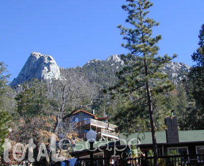
  • Tahquitz Peak in San Jacinto Wilderness: Tahquitz Peak Lookout stands at 8846′ elevation, towering above the pine village of touristy shops & cafes below. It’s a small slice of the Sierra Nevada (fabulous blue granite feeling) in SoCal & the rock climbers love it. Humber Park is at the base of the peak. The park is a family & tourist destination, especially during snow days. Paved parking lot is at the very top of the neighborhood, a well signed route. Follow the brown “Humber Park” signs. Hmmm, now is that ta-keets, ta-quits? Just ask a local – who grew up in Idyllwild.
  • Tahquitz Peak

    San Diego County climbing destinations:

    Army Rock
    Beirut
    Bonita
    Carlsbad Boulders
    Culp Valley
    Descanso Wall
    Dixon Lake
    El Cajon Mountain
    McCain Valley
    Mission Gorge
    Mt Everest
    Mt. Helix
    Mt. Woodson
    Otay Lakes
    Poway Crags
    Rock Mountain
    Santee Boulders
    Stonewall Peak
    Valley of the Moon

    For more on California rock climbing places, check out a few of our favorites resources:

    CA Rock Climbing Instruction

    Rock Climbing Ratings

    Rock Climbing Local Links

    California Rockclimbing.com

    Southern California rock climbing areas:

  • Idyllwild
  • Joshua Tree NP
  • Mojave NP
  • Southern California Maps that may be relevant:

    Kern Rock Climbing

    needles climb Sequoia

    The Needles as seen from Dome Rock, on the Western Divide Highway.
    Eastern Sierra’s Mount Whitney can be seen in the far distance on the right.

    Sierra Nevada Rock Climbing – Sequoia National Forest

    Good granite without the crowds! This Sequoia park is often passed by for the masses heading to the big walls of Yosemite or the bouldering of the Eastern Sierra Nevada.

    Check out these Sequoia spots for some climbing options:

    • Dome Rock on the Western Divide (if half dome didn’t split & was smaller)
    • Kern River Gorge (deep in the heart of Kern River & the Rincon)
    • The Needles (granite spires at 8000′ elevation overlooking Kern River Valley)