The Great Basin meets California, at the Eastern Sierra Nevada Mountains

Mono Lake
elevation: 6383′
Eastern California
US Hwy 395 @ CA SR 120
East of Yosemite NP
Lee Vining, CA

Rumor has it this lake basin could be the ancient super volcano of the region. MonoLake is located on the north end of the Long Valley Caldera, a volcanic ridge which stretches down to Bishop and parallels Mammoth Mountain & US 395.
Huge shallow lake with a very turbulent history. Signs and plaques throughout the lake shore give info on ancient history of the lake, the wildlife, and regional detail. Majestic views of the Sierra Mountains, with sparse vegetation, lunar type landscape. Eerie with storm clouds; Beware of bad weather. Kayakers love this lake too!

Canoeing
Hiking
Hot Springs
Kayaking
Picnic
Primitive Hot Springs
Stargazing
Volcanic Landscape
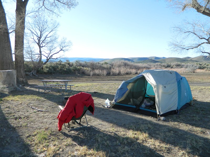
Mono Lake Camping
Camping is closeby, but not located on the fragile lakeshore.
![]()
Dispersed camping (FREE) is allowed in Mono Basin National Forest Scenic Area, the region that surrounds the Tufa State Natural Reserve. Campfire permits are required. Contact the park listed below for all the details on the camping policy.
![]()
Camps include National Forest Campgrounds in Lee Vining Canyon (8 miles), June Lake Loop (15 mi), Lundy Lake (12 mi). Private RV parks can be found in nearby Lee Vining and further south, at Lake Crowley.
[PDF download]
Camping In The Mono Basin
by LeeVining.com
Inyo National Forest USDA
Camping Mono Lake Ranger District
local links:
Mono Lake Tufa State Natural Reserve
California State Park
760-647-6331
Mono County Tourism
MonoCounty.org
760-924-3699
Mono Lake Committee
MonoLake.org
Bookstore @ 3rd, Lee Vining
760-647-6595

nearby interests:
Yosemite National Park
Inyo National Forest
Toiyabe National Forest
Benton Hot Springs
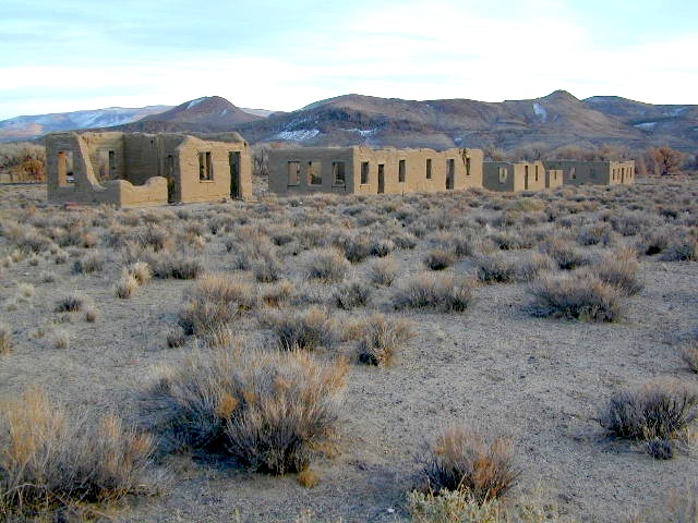
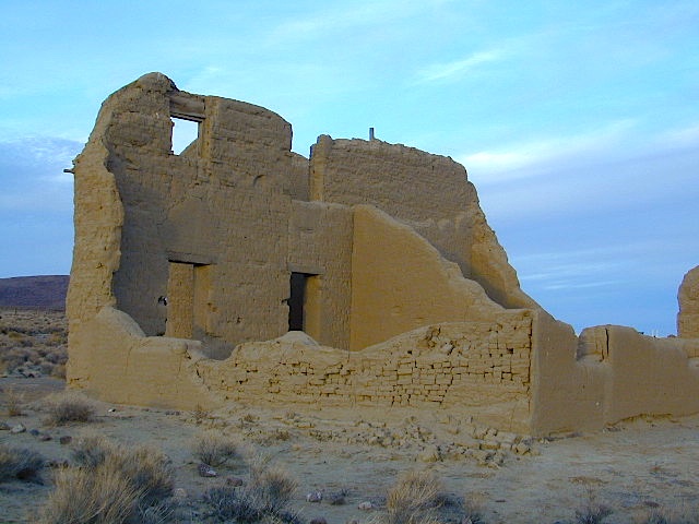
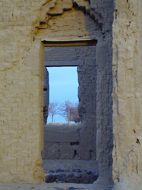
Bodie Ghost Town
Convict Lake
Mono Craters – Panum Crater & Crater Mountain
Long Valley Caldera
Lundy Lake
California Aspen Groves
Autumn Colors Camping

regional maps:
NatGeo Mammoth Lakes & Mono Map
nearby towns w/ lodging:
Benton Hot Springs
Bridgeport, CA
Lee Vining, CA
June Lake, CA
Mammoth Lakes, CA


 Ishi Wilderness Map


 Another option to this canyon is the East side: