

LGVR
Little Grass Valley Recreation Area
Plumas National Forest
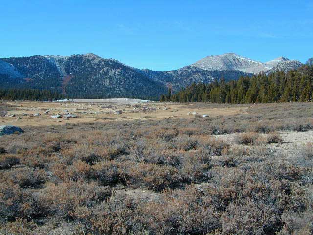
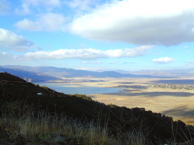
Tucked way up in the Northern Sierra Nevada mountains, at the top edge of the California Gold Country, is this popular recreational lake in the forest above the busy Sacramento Valley.
Up on the mountain at 5000 feet above sea level, via La Porte Road (Plumas #120), a Sierra Nevada THRU-ROAD – one which closes for winter snow. The lake destination may be open, but the campgrounds are closed up seasonally. (NOV-APRIL)
![]()
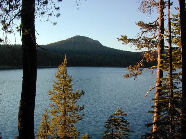
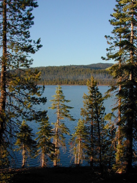
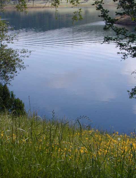
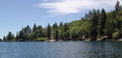
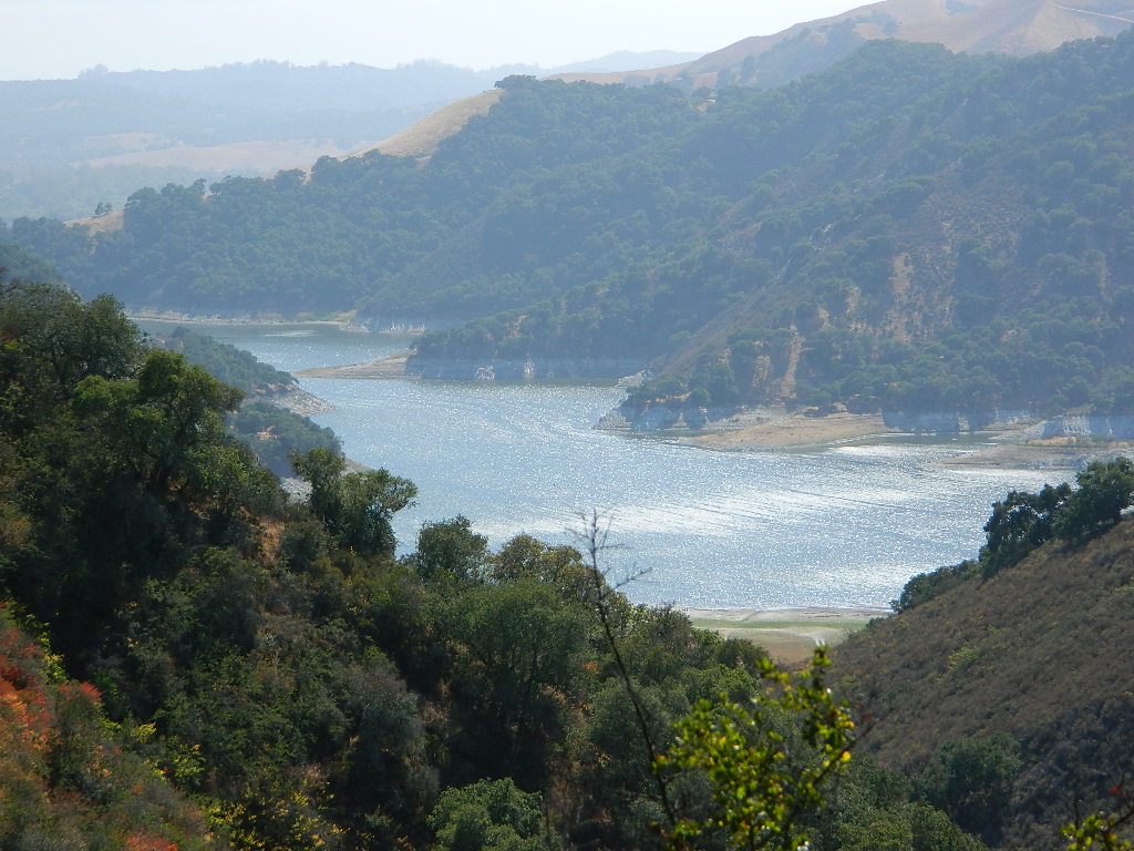
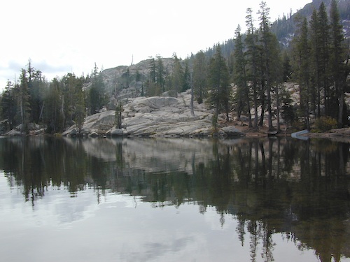
Little Grass Valley Reservoir
Lake Statistics:
Elevation 5,100′
Surface Area 1,433 acres
Shoreline 16 miles
Capacity 93,101 acre-feet
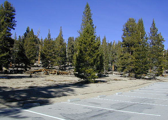
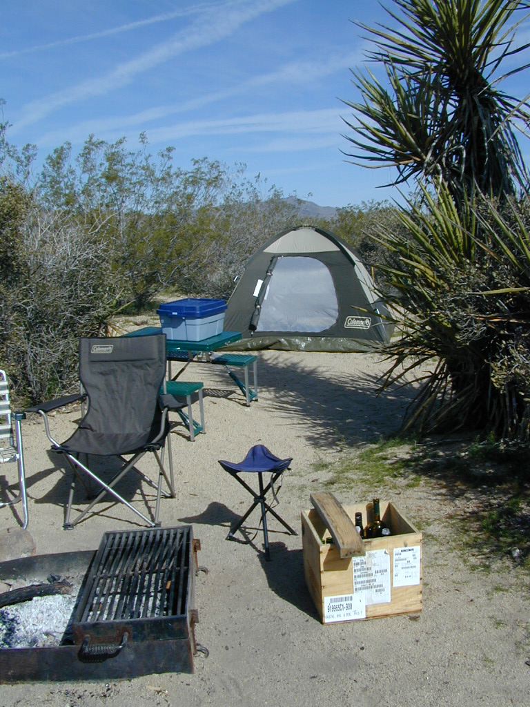
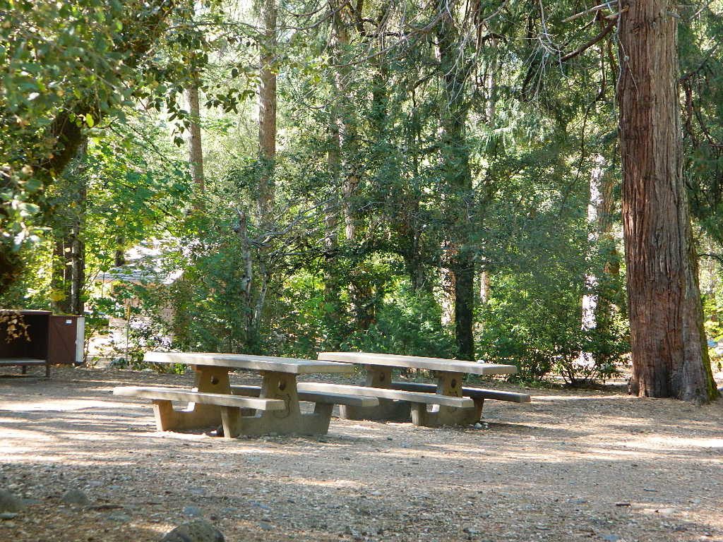
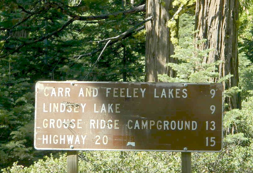
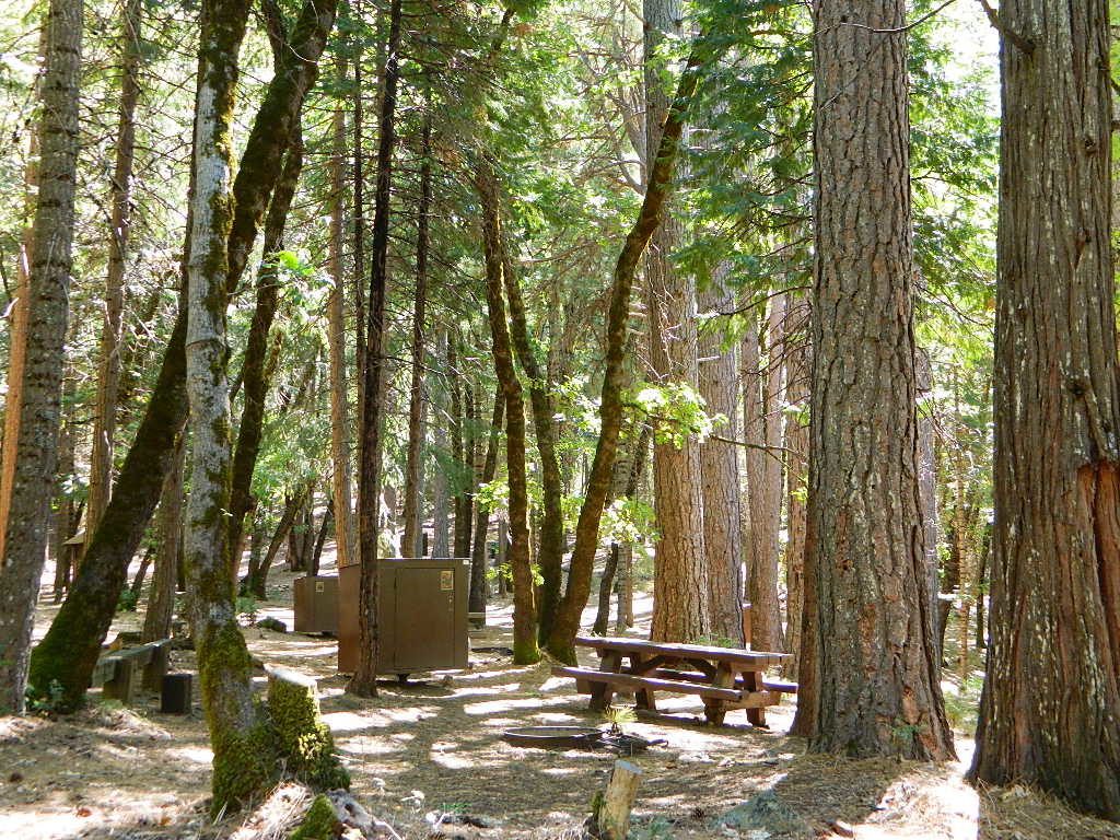
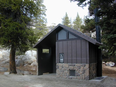
With over 300+ camp sites available in 10 different campgrounds, Little Grass Valley has room for everyone. Reservations are recommended in summer months, although some camps are on a first-come basis.
![]()
![]()
![]()
![]()
![]()
![]()
![]()
![]()
![]()
![]()
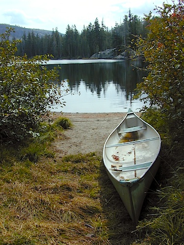
3 boat ramps
2 swim beaches
Lakeshore trail
RV Camping
Walk-in tent campsites
![]()
![]()
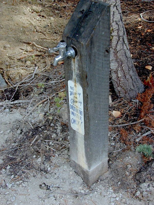
Camper Trailers up to 40 feet can be accommodated in some of the camping units. 2 RV dump stations are available, near Tooms Boat Launch & Red Feather. Campgrounds have piped water, but no RV hookups.
Fishing, water-skiing, kayaking, sailing, boating.
Swim beaches provide excellent swimming and picnicking opportunities. The Lakeshore Trail (13 miles) winds around the entire lake, for hiking, horseback riding, and mountain biking.
-
Horse Camp
-
Little Beaver Campground
-
Red Feather Campground
-
Sly Creek Campground
-
Strawberry Campground
-
Wyandotte Campground
![]()
TRAVEL NOTE: The nearest town isn’t much of a “town” at all – so driving to get “anywhere w/ tourist services” from here is quite a chore. Gasoline is minimal on this mountain, if any. Plan to bring everything you will need for your outdoor vacation stay, cuz driving to Quincy, or down the hill to O-ville will take more than an hour (one way). Go prepared.
Print a Lake Map [PDF download]
Reservoir usually open from Memorial Day to October, annually.
Challenge Visitor Center
18050 Mulock Road
Challenge CA 95925
530-675-1146
Northwest Park Management
530 283-5559
Plumas National Forest
Feather River Ranger District
530 534-6500
nearby towns:
Challenge, CA
La Porte, CA
Oroville, CA
Quincy, CA


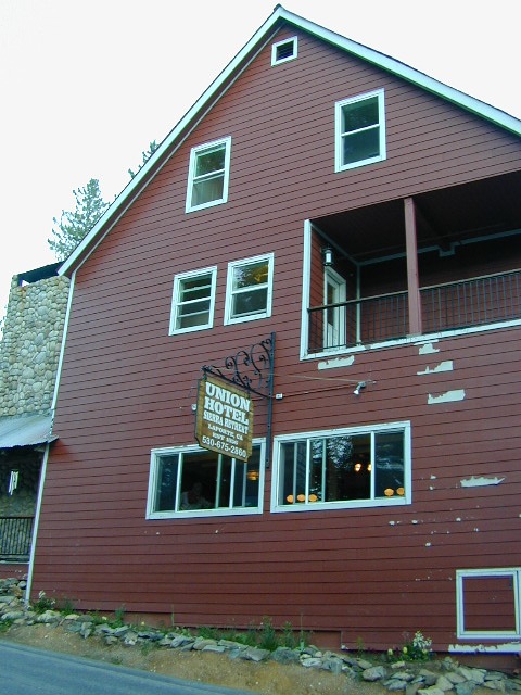
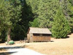
 Crocker Station is for rent and reservations are required. This wooden 2-story home was built in 1912 for Forest Service personnel, and later staffed as a fire station until the 1980s.


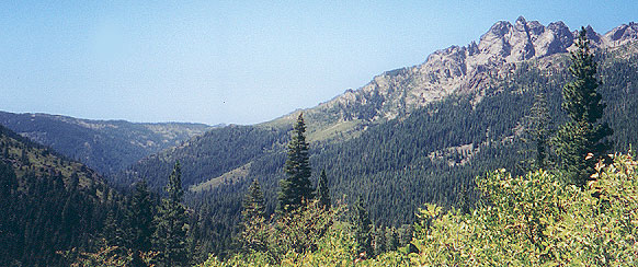
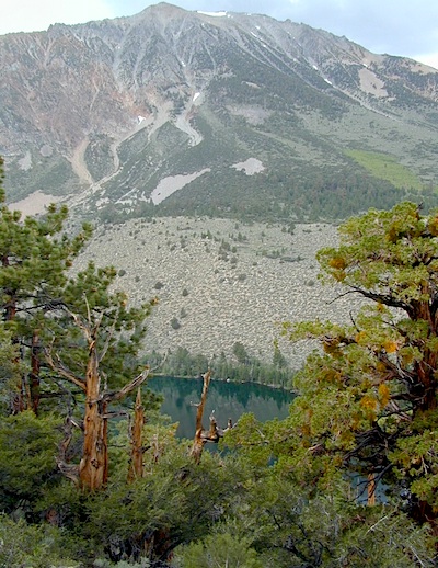
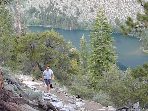
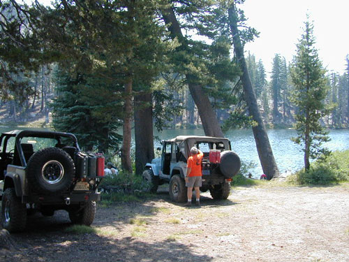
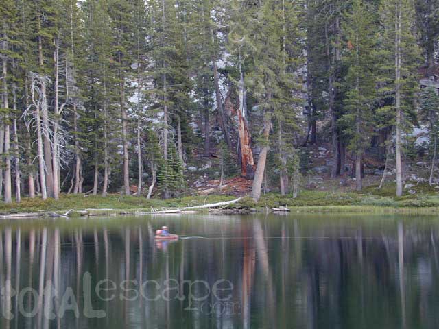
 This hidden gem is a hike-in only lake – and well worth the effort. A somewhat short hike, great ridge line views to the east, although the last half mile of this route is a doozie (moderately strenuous).


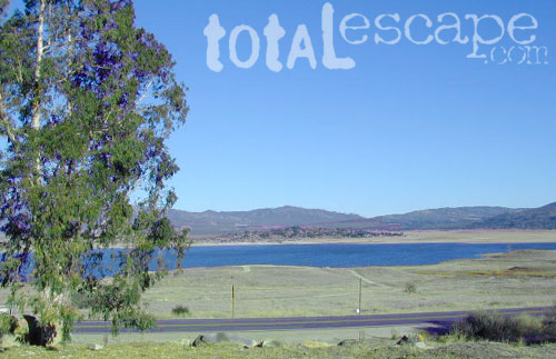
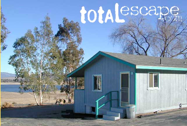
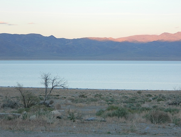
 TREES: Lake Henshaw has very few trees; mostly large open spaces & fields surrounding it. Cattle grazing & rolling hills w/ mountain backdrop. Stargazing and fishing cabins is more fitting of a description. This bare bones basic, little cabin resort offers a true get away from civilization for maximum relaxation close to SoCal cities.
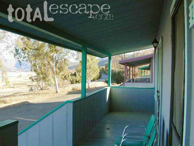
 All Tahoe Campgrounds will charge a fee for day use or overnight stays; Many require advanced reservations. Nightly rates vary per park, but tend to be expensive in this region. Most campgrounds are closed during the winter due to the big snow.
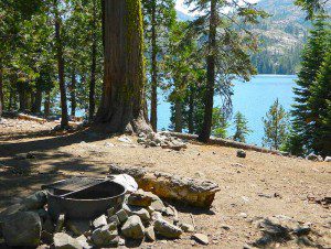


 CAMPGROUND RESERVATIONS
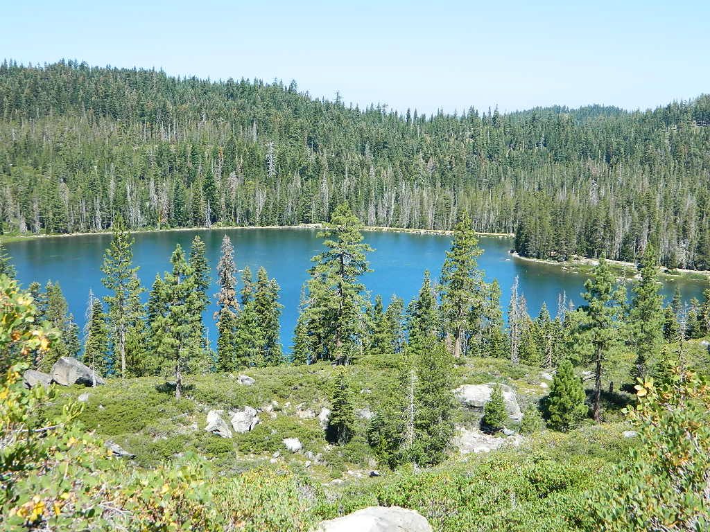
