Category Archives: Volcano

Lassen Camping

NFS ELAM
Elam Creek Campground, Hwy 32

Camping near Lassen Park
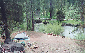
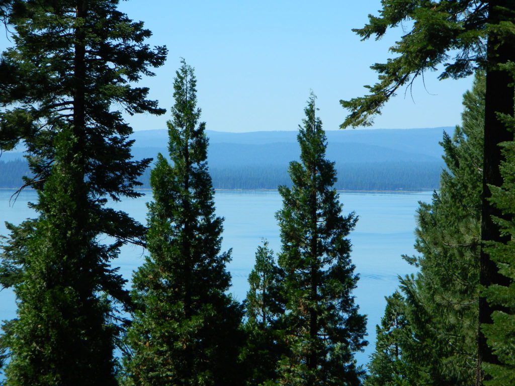
Lassen River CampMount Lassen is part of the Cascade Mountain Range, located north of the Sierra Nevada. The Lassen forest encompasses a large area of wilderness land, snowmelt creeks and an abundant dirt road system. Most of which is covered in deep snow about half the year, so plan accordingly.

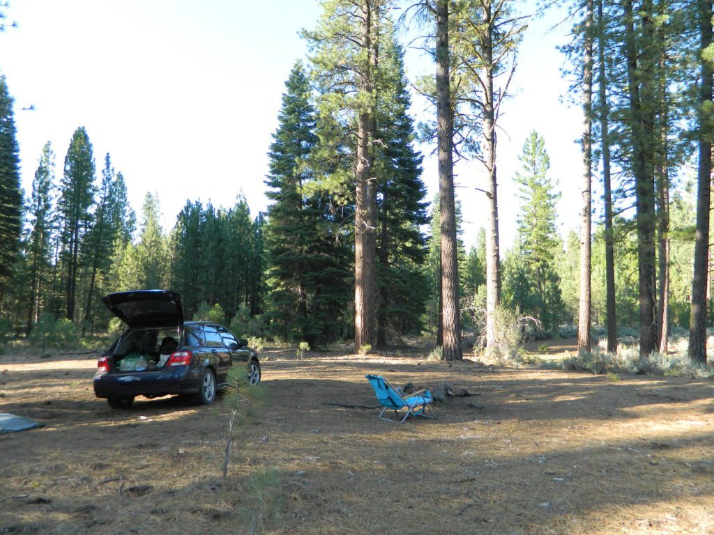
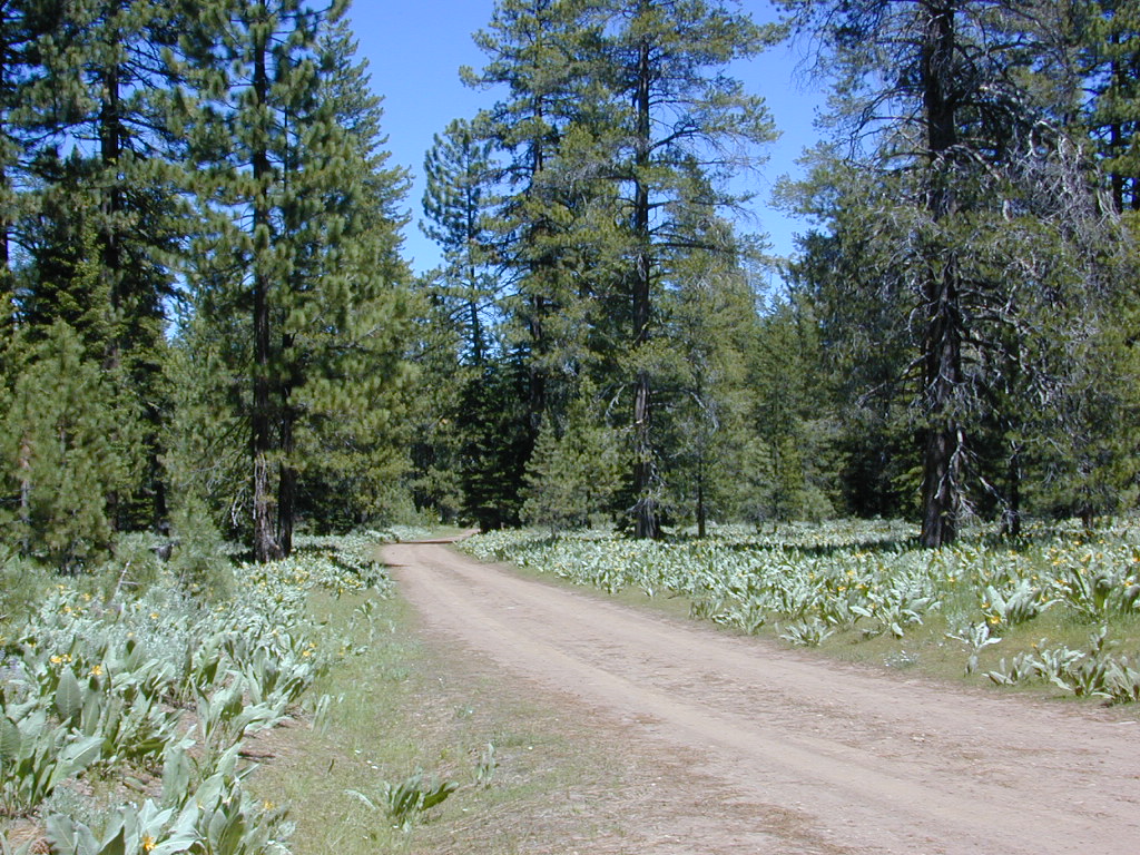
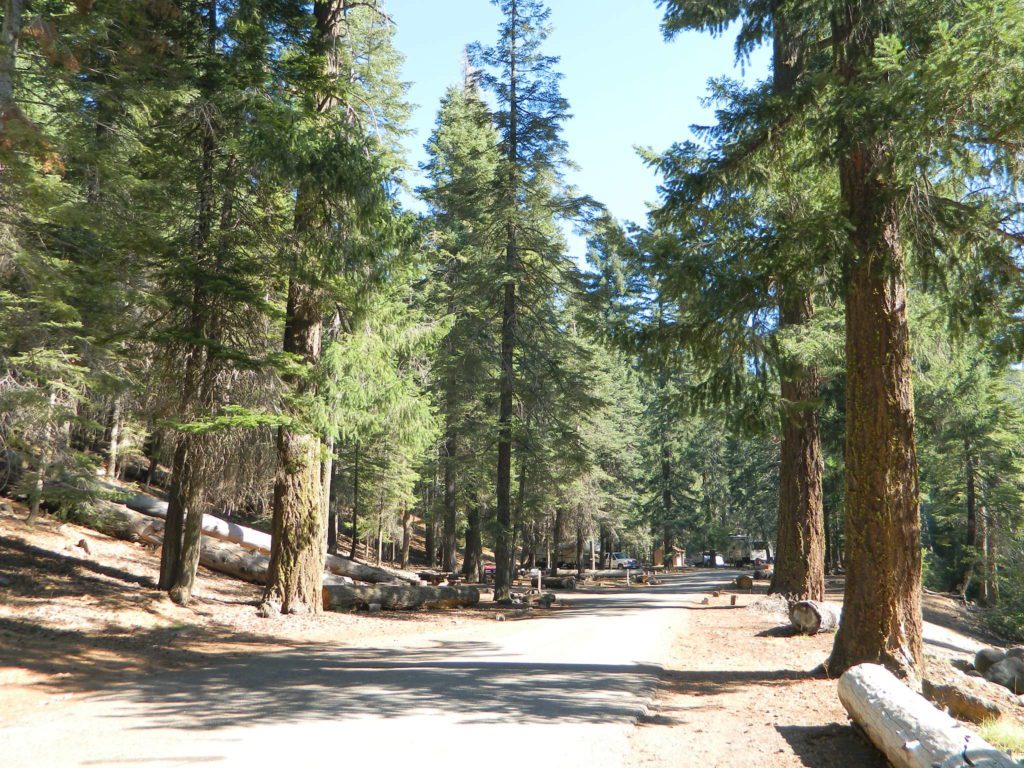
Plenty of great dispersed camping along the old logging roads in this Lassen Forest area, surrounding the Volcanic National Park; in Northern California. Many dirt roads are graded annually to allow for passenger car access. You can make it way back there in a car – just watch for the mud and some boulders!

lassen maps

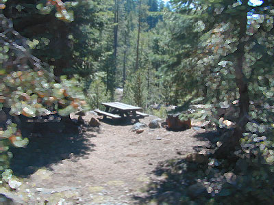
Camp fire permits required (see below). Pease try to choose a camp that has been used before and pack out your garbage.

HINT: a USDA Lassen National Forest Map is very helpful when camping these remote, Lassen back roads. Stay away from the crowds, avoid camp fees & really enjoy your vacation.

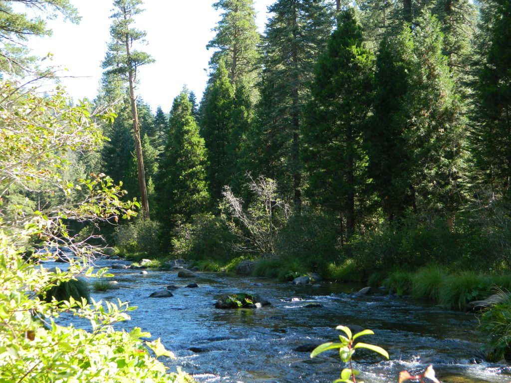
Camp right on a rushing river, alone. With no one in sight or sound. Have that secluded camping experience you’ve always dreamed about. Fishing, relaxing, maybe some hiking too. Or better, your mountain bike. Plenty forest roads to explore.mountains

Numerous waterfalls to discover, water flowing everywhere. Mount Lassen @ 10,457′ elevation, is often snow-capped year round. This Northern California region is covered with pine forests and volcanic history.
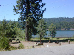
Cool Springs PGE
Cool Springs @ Butt Lake, California
(PG&E Campground)

CAMP LASSEN
is our guide to all camping and campgrounds
in Lassen Forest, Parks and nearby towns

camp

NFS

If you wanna find the nearest biker bar, head over to the rustic and forested Bambi Inn @ Butte Meadows. The place is popular all the time, especially on weekends. Scenic day drive from Chico, located near a nice river and bridge, plus they have cabin rentals too. Sometimes they have big events and it can get pretty crowded and loud w/ drinking and outdoor music.

BSA Camp Lassen is a boy scout camp located E of Chico, off Highway 32 near Butte Meadows, CA

Dispersed Camp sites in Lassen in Lake Almanor Area

campground elev. spots veg toilet water notes
Alder Creek Campground 3900′ 6 pines vault creek March-Nov
Benner Creek Campground 5562′ 9 pines vault creek May-Nov
Black Rock Campground 2100′ 6 pines vault creek year round, fish
Echo Lake Campground 6440′ hike pines none lake May-Nov, no tables
Soldier Creek Campground 4890′ disp pines vault creek May-Nov, fall hunters
South Antelope Campground 2700′ 4 pines vault creek year round
Willow Lake Campground disp pines lake May-Nov, no tables

NORTH LASSEN

Free North Lassen
Free Camping Lassen

Northside of Mount LassenNFSlogo

Excellent back roads camping w/ dense forest and free firewood all over the place (bring hand saw). Dispersed, primitive, free camping, near creek, and highway close. Many forest dirt roads turn offs, all along Highway 44 (California SR 44) near junction w/ Hwy 89 @ Lassen National Park.

Big creeks, dense forests, graded dirt roads, dark night skies. PCT access, trailheads, camping, fishing, hiking, hunting, all along Upper Hat Creek.

Campfire permits (shovel, bucket & water) are required when camping outside of a developed campground. Always check on current fire restrictions. Washed out bridges and landslides are common, which means road closed signs can be found on these remote backroads.

campfire

see also –

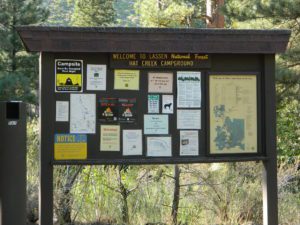
Hat Creek Campground
Honn Campground on Hat Creek, Hwy 89
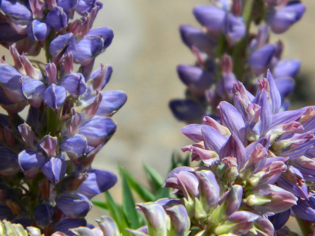
Large Lupine Lassen
Large Lupine on Mill Creek

HatCreekCampgr

Lassen Area Maps –

Lassen Towns –

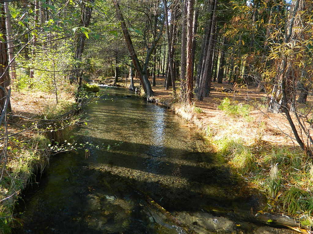
Creeks along Highway 32 - N of Chico, CA
Creeks along Highway 32 – N of Chico, CA
Lake Almanor, California
USFS Chester Ranger Station

Lassen National Forest
Almanor Ranger District
900 E. Hwy 36 | PO Box 767
Chester, CA 96020
530-258-2141


Camp Lassen

Lassen Campgrounds

Mill Creek w/ Lassen Peak
Mill Creek w/ Lassen Peaks (July 2011)

Feather River Camping, Lake Almanor Campgrounds, Hat Creek, River Fishing NorCal, Topo Maps, California Campground  Reservations, Lassen National Forest camp sites and all the outdoor recreation you can imagine.

Volcanic lands of Lassen National Park are surrounded by Lassen National Forest, which means if you cannot find camping inside the National Park – you can surely find it in the outlying regions – with rivers . The National Park Lassen Hwy 89 is often closed during winter months due to snow, as Diamond Peak & Reading Peak are around 8000′ elevation. In 2011 the south entrance did not open until late summer due to heavy snows.

Lassen Camping

A few Lassen campground sites may be reservable, more info with links below; the rest of the campgrounds in the green lists are on a first come, first serve basis.

  • BUTTE LAKE CAMPING
  • JUNIPER LAKE GROUP CAMP
  • MANZANITA LAKE CAMPRGOUND
  • SUMMIT LAKE CAMPGROUND
  • GURNSEY CREEK – CLOSED 2022
  • HAT CREEK CAMPGROUND
  • HOLE IN THE GROUNDCLOSED 2022

Lassen National Park Campgrounds NPS

Camp Lassen / Lassen Lakes

campground elevation spots veg toilet water info
Lake Fork Campground 6792′ 18 pines vault piped June-Oct
Southwest Walk-In 6700′ 21 pines flush piped CLOSED
Warner Valley 5650′ several pines vault piped CLOSED

Lassen National Forest Campgrounds NFS

HOLE IN THE GROUND CAMPGROUND – Mill Creek, CA
CLOSED due to DixieFire

Eagle Lake District

campground elev. spots veg toilet water notes
Bogard Campground 5600′ 22 aspen, pines vault pump May-Oct
Butte Creek Campground 5600′ 20 oak, pines vault creek CLOSED
Crater Lake Campground 6800′ 17 mixed conifer vault pump dirt road, June-Oct
Goumaz Campground 5200′ 5 ponderosa vault creek dirt road
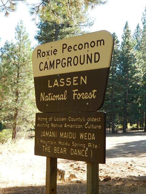
Roxie Peconom Campground 4800′ 10 ponderosa flush pump dirt road

Roxie Peconom

Hat Creek District

campground elev. spots veg toilet water notes
Big Pine Campground 4500′ 19 pines vault pump April-Oct
Bridge Campground 4000′ 25 pines vault piped April-Oct, fish
Honn Campground 3400′ 6 pines vault no CLOSED
Rocky Campground 4000′ 8 pines vault creek CLOSED
Honn Campground
Hat Creek @ Honn Campground

Lake Almanor District

campground elev. spots veg toilet water notes
Alder Creek Campground 3900′ 6 pines vault creek CLOSED
Benner Creek Campground 5562′ 9 pines vault creek May-Nov
Black Rock Campground 2100′ 6 pines vault creek year round, fish
Butte Meadows Campground 4600′ 13 pines vault piped June-Nov
Domingo Springs Campground 5060′ 18 pines vault piped CLOSED
Echo Lake Campground 6440′ disp pines lake CLOSED
Elam Campground 4400′ 15 pines vault piped CLOSED
High Bridge Campground 5200′ 12 pines vault piped CLOSED
Rocky Knoll Campground 6000′ 18 pines vault piped CLOSED
Silver Bowl Campground 6000′ 18 pines vault piped CLOSED
Soldier Meadows 4890′ 15 pines vault creek CLOSED
South Antelope Campground 2700′ 4 pines vault creek CLOSED
Warner Creek Campground 5040′ 13 pines vault creek CLOSED
West Branch Campground 5000′ 15 pines vault piped May-Nov
Willow Springs Campground 5100′ 14 pines vault creek May-Nov, fall hunters
Willow Lake Campground disp pines lake CLOSED

A few PG&E Campgrounds can be found near Lake Alamanor, which are managed by the utility company and not listed on National Forest or National Park web sites.

MOST ALL CAMPGROUNDS CLOSED, due to Dixie Fire damages

LAKE ALMANOR – PG&E Campgrounds
Southshore @ Canyondam, CA

LAST CHANCE CREEK – PG&E Camp, North of Lake Almanor

BUTT VALLEY Reservoir – PG&E Campgrounds
West of Lake Almanor, CA

Juniper Lake Table
Juniper Lake – Lassen NPS

Lassen National Park

Lassen National Forest

Northern California Topographic Maps

Lassen Area Maps & Books –

Lassen Towns –

24N10 – Plumas NF

Lake Davis Loop Drive

Lake Davis Loop: Plumas Forest Road #24N10

Plumas National Forest

also known as the Beckwourth Taylorsville Road

5,800′ elevation
Portola, CA

Lake Davis

Lake Davis Loop is a 20 mile circle around the lake. Drive or mountain bike route. Scenic drive on dirt roads, or an easy bike ride. Average ride time 2 hours for biking.

A flat, easy loop around Lake Davis is best in summer months, as snow usually closes this area in winter. The whole route is a mix of paved, dirt and gravel road. There are picnic areas along the way, lake views, bird and wildlife viewing, wildflowers.

NFSlogo


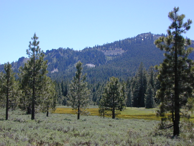
Numerous primitive camp sites and secondary dirt roads fork in various directions, off of this main loop.  Volcanic ridges line the west side of the lake, dense forest and seclusion can be found all around. Bald eagles fly overhead and wild life is abundant.

  • boat
  • camp
  • fish
  • hike
  • mountain bike
  • stargaze
  • wildlife

CROCKER GUARD STATION

campCrocker Station is for rent and reservations are required. This wooden 2-story home was built in 1912 for Forest Service personnel, and later staffed as a fire station until the 1980s.

Situated at 5700′ elevation, its alpine beauty and cooler temps make it a much sought after, especially in summertime. Located a few miles from the lake and 10 miles northeast of Portola, California. There is a small campground next door called Crocker Campground. A dirt road access to Crocker Meadow is quickest from lake, but the paved route around is longer.

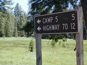
Camp 5 sign

DIRECTIONS:
From California SR 70 (Highway 70) in Portola take West Street approximately 7 miles to the Lake Davis Dam. Park at the information kiosk and get acquainted with maps and the area info.

Drive or bike the lake loop. Travel 1.7 miles west to Forest Service Road 24N10, travel on that for 8.1 miles until you reach the junction with County Road 112. Then turn east and continue around the lake, past the Grizzly Campground a half mile, turn South on Country Road 126 and continue back to the dam.


View Larger Map

Plumas National Forest
Plumas Map USDA


DSCN0077


Mono Lake California

The Great Basin meets California, at the Eastern Sierra Nevada Mountains

Navy Beach, Mono Lake

Mono Lake


elevation: 6383′
Eastern California
US Hwy 395 @ CA SR 120

East of Yosemite NP
Lee Vining, CA

Mono Lake

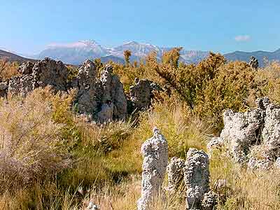
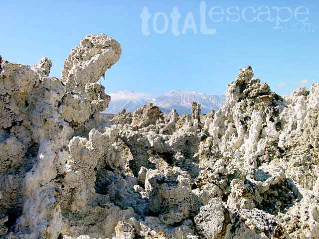
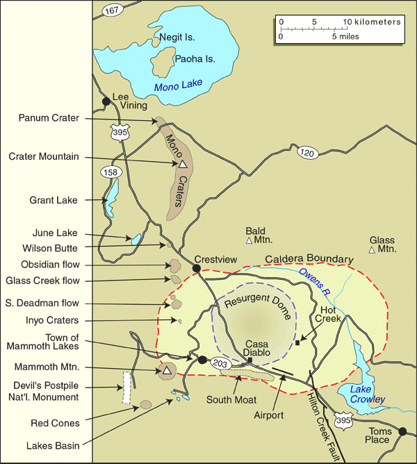
Rumor has it this lake basin could be the ancient super volcano of the region. MonoLake is located on the north end of the Long Valley Caldera, a volcanic ridge which stretches down to Bishop and parallels Mammoth Mountain & US 395.

Huge shallow lake with a very turbulent history. Signs and plaques throughout the lake shore give info on ancient history of the lake, the wildlife, and regional detail. Majestic views of the Sierra Mountains, with sparse vegetation, lunar type landscape. Eerie with storm clouds; Beware of bad weather. Kayakers love this lake too!

Sierra Nevada backdrop

Canoeing
Hiking
Hot Springs
Kayaking
Picnic
Primitive Hot Springs
Stargazing
Volcanic Landscape

Mono Lake Camping

Camping is closeby, but not located on the fragile lakeshore.
open camping
Dispersed camping (FREE) is allowed in Mono Basin National Forest Scenic Area, the region that surrounds the Tufa State Natural Reserve. Campfire permits are required. Contact the park listed below for all the details on the camping policy.

campgrounds
Camps include National Forest Campgrounds in Lee Vining Canyon (8 miles), June Lake Loop (15 mi), Lundy Lake (12 mi). Private RV parks can be found in nearby Lee Vining and further south, at Lake Crowley.

[PDF download]
Camping In The Mono Basin
by LeeVining.com

Inyo National Forest USDA
Camping Mono Lake Ranger District

local links:

Mono Lake Tufa State Natural Reserve
California State Park
760-647-6331

Mono County Tourism
MonoCounty.org

760-924-3699

Mono Lake Committee
MonoLake.org

Bookstore @ 3rd, Lee Vining
760-647-6595

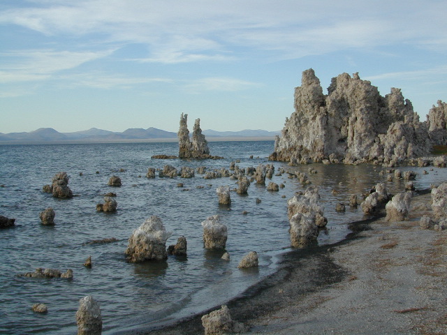
Tufa Towers

nearby interests:

Yosemite National Park
Inyo National Forest
Toiyabe National Forest
Benton Hot Springs
Bodie Ghost Town
Convict Lake
Mono Craters – Panum Crater & Crater Mountain
Long Valley Caldera
Lundy Lake
California Aspen Groves
Autumn Colors Camping

Long Valley Craters Mono Lake
Long Valley Caldera Craters near Mono Lake

regional maps:

Tom Harrison Mono Lake Map

NatGeo Mammoth Lakes & Mono Map

Inyo National Forest USDA Map

Ansel Adams Wilderness Maps

nearby towns w/ lodging:

Benton Hot Springs
Bridgeport, CA
Lee Vining, CA
June Lake, CA
Mammoth Lakes, CA


View Larger Map

Thousand Lakes Wilderness

NorCal hiking & backpacking

Thousand Lakes California

Although the name suggests more, the number of lakes in this region is approximately seven: Eiler Lake and Box Lake are the 2 largest lakes within the Wilderness boundary. Logan Lake and North Battle Creek Reservoir are on the outskirts. Trout fishing is a popular recreation sport all around Lassen. Thousand Lakes Wilderness is part of the Cascade Range in northern California. 16,335 acres and 21 miles of trails, all managed by Lassen National Forest. The area lies midway between the mountain town of Burney and Lassen Volcanic National Park.

Volcanic activity and glaciers have combined to create the Lassen topography. Dominated by Crater Peak 8677′, which is the highest point in Lassen National Forest, this area is a reminder of the glacial action that eroded the original, much larger Thousand Lakes Volcano and created the many small lakes and ponds scattered throughout the region. Wildlife includes black-tailed deer, black bear, pika, pine marten, northern goshawk, spotted owl, pileated woodpecker, and Clark’s nutcracker. Even elk have been known to visit occasionally.

Lassen National Forest
Lassen Volcanic National Park


View Larger Map

Thousand Lakes Wilderness

Roads and trailheads surrounding Thousand Lakes Wilderness and the Wild Woods

Lassen Forest Road #16 – Ashpan Winter Recreation Area @ Hwy 44, leads to hikes on the west side of the Wilderness. Bunchgrass trailhead and Magee trailhead. LaTour State Forest, Ashpan Butte, Huckleberry Mountain, Fredonyer Peak, Crater Peak, and Whittington Butte. Lassen Route 16 is a graded dirt road that connects to Tamarack Road #4M001 at Burney Creek, near the north side of the Wilderness.

Road #32N17 – access to North Battle Creek Reservoir
Road #32N16
Road #32N24

Thousand Lakes Wilderness Map
Road #32N31 – access to North Battle Creek Reservoir

Road #32N18 leads to PG&E North Battle Creek Reservoir
North Battle Creek Campground: elevation 5600? / 15 camp sites / open Apr-Oct

Road #26 on the north side of the Wilderness, connects Hwy 89 @ Hat Creek, west to Road #32N22. Cypress trailhead is located on a side route nearby.

Road #32N23 is up on Burney Mountain elev. 7863′, another hang glider launch site.

Road #33N25 leads to the Tamarack trailhead
Road #34N78 off Hwy 44, near Logan Lake and route leads to McElroy Flat

Road #32N35 behind Burney connects to Hat Creek (the back way).


LASSEN AREA MAPS –

Lassen National Forest Map
Thousand Lakes Wilderness Map


List of Thousand Lakes Wilderness trailheads:

Bunchgrass Trailhead
Magee Trailhead
Cypress Trailhead
Tamarack Trailhead


List of nearby towns:

Fish Slough

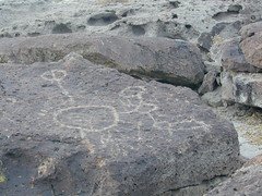
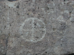
On the north end of Bishop CA, running parallel to & on the west side of Hwy 6, is a long dirt road called Fish Slough Rd. Indian petroglyphs can be found out here & also on the ridges along Chalk Bluff Rd (to the south). The entire region is called a volcanic tableland & hot springs are very common in this region. The Owens River Gorge & Lake Crowley are to the west. High clearance vehicles are recommended for traveling these back roads, but 4×4 is rarely needed.

Read & see more on Fish Slough Petroglyphs

BISHOP CA

LAKE CROWLEY

BENTON HOT SPRINGS

Visit Hwy 395 Hot Springs

Indian Art Eastern Sierra

Fish Slough

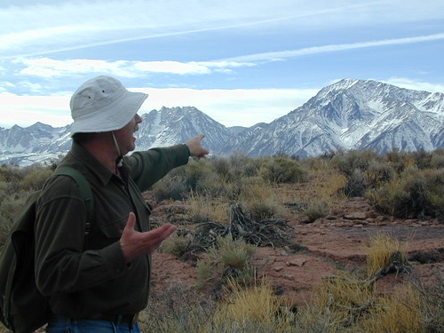
Dave Explains