Eastern Sierra Mountains / Eastern Sierras California

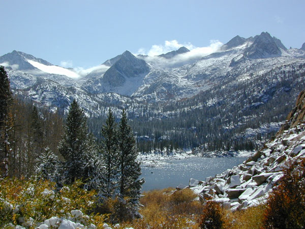
Wilderness seeker John Muir called the Eastern Sierra, the range of light. It’s desery & drastic. Tons of granite & wild-ness. The impressive, tallest peak in the lower 48, Mount Whitney towers at elevation 14888′ over the Owens River Valley. Death Valley meets mountains. Ancient volcanoes & fresh granite. Creeks are alive throughout summer. Alpine lake hikes & their wild flowers are incredible. Horseback trails, rentals, pack trips are very popular. Total Escape even list high country Inyo 4×4 routes, that overlook Bishop.
Eastern Sierra forest & parks –
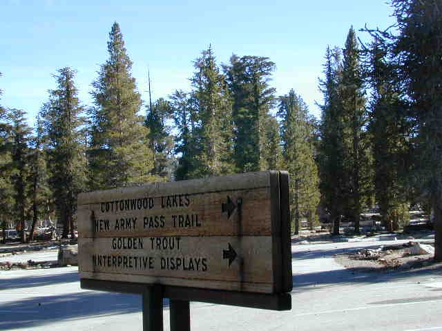
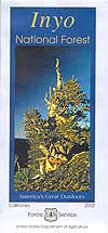
Inyo National Forest
Toiyabe National Forest – north (Carson)
Toiyabe National Forest – south (Bridgeport)
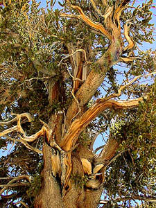
Ancient Bristlecone Pine Forest
Eastern Sierra maps & trails –
- Inyo National Forest Map
- Toiyabe National Forest Maps
- Hoover Wilderness Trail Map
- Bishop Pass Trail Map
- Kearsarge Pass Map
- Mount Whitney High Country Map
- Mount Whitney Zone Map
Eastern Sierra towns –
Aspendell, Big Pine, Bishop, Crowley Lake, June Lake, Lee Vining, Lone Pine, Mammoth, Olancha, Toms Place