

Los Padres National Forest Maps
7 minute QUADS (topo maps) inside a spiral bound book. Covers both north & south part of Los Padres National Forest. This map book can be found at ranger station – Los Padres USFS or click the book above to take you to the Total Escape Map Shop!
 |
 |
Waterproof plastic map; USDA National Forest Service Maps
Additional topo maps for Los Padres region –
- NatGeo Los Padres EAST Map
- NatGeo Los Padres WEST Map
- NatGeo Big Sur Coast Map
- Sespe Wilderness Trail Map
- Dick Smith Wilderness Map
- Ventana Wilderness Map

see more about Los Padres National Forest


Links for Los Padres National Forest destinations
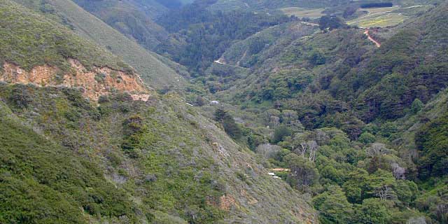
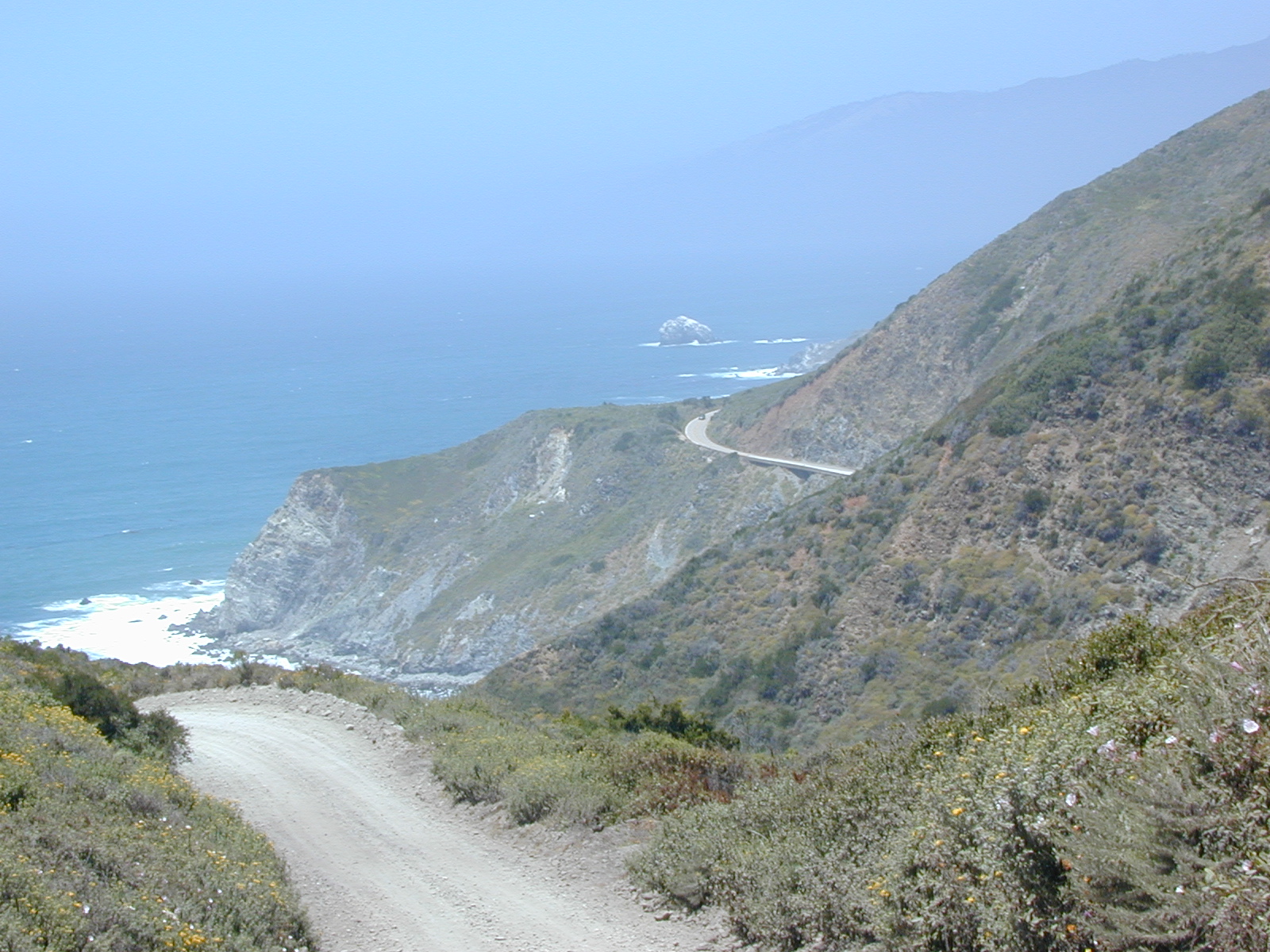
- Big Sur Backroads
- Chumash Wilderness
- Dick Smith Wilderness
- Figueroa Mountain
- Frazier Park Camping
- Garcia Wilderness
- Mount Able
- Mount Pinos Recreation
- Ojai Camping
- Pine Mountain, CA
- Quatal Canyon
- Rock Front Ranch
- San Rafael Wilderness
- Santa Barbara Camping
- Santa Lucia Camping
- Santa Lucia Wilderness

