Tag Archives: access

Trailhead CA

bike  mountain biking
hike  hiking trailhead
bkrd  4×4 trailheads
horse equestrian trails

Rock climbing, backpacking, fly fishing creeks, snowmobiling, you name it. No matter what kind of trail you seek in California, we have the maps to get you out there, this weekend. If you seek a week long adventure in the Sierra high country, or a weekend getaway destination you’ve never heard of, or a quick after work hike near your home town, we just might have it listed. And we probably have the waterproof, topographical map too.
tentcabinyosemite

DOGS & BIKES on TRAILS:

Dog friendly trails include almost anything within the CA National Forests. Remember that most National Parks & State Parks literally forbid dogs on hiking trails. Mountain bikes can access only certain trails in parks, but in the National Forests nearly every trail or dirt road is up for grabs.

OHV ROUTES:

snomoiMotorized vehicles, such as quads, ATVs, dirt bikes, Jeeps & 4x4s must stick to designated routes signed specifically for OHV (off highway vehicle) & you won’t be finding many of those inside National Parks & State Parks, so it’s best to look for BLM or NF lands. Many regular, forest, back roads close in winter due to heavy snow pack & thus become cross country ski, snowshoe or even snowmobiling trails. The best ones can be found in the Sierra Nevada mountains.

Explore a decent selection of random trail heads within Cali.
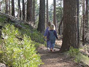
hiking in Forest

And if you ever get bored with “reading” text about trails, you can always search the visual database of amazing Cali scenery over at DanaMite’s flickr site

California Fire Road

Lundy Lake California

Lunar Lundy Lake

Eastern Sierra
Lundy Lake

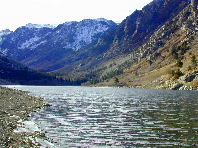
Lundy Canyon is located at the very northern boundaries of the Inyo National Forest, bordering the Humboldt Toiyabe National Forest & Virginia Lakes. Mill Creek flows down Lundy Canyon from the Sierra Nevada; Lundy is a small lake in a deep, rugged canyon with wilderness trailheads, East of Yosemite National Park.

Lundy Lake
West of Mono Lake, California
US 395
Lee Vining, CA

elevation: 7800′
Seasonal access, closed for winter

backpack, camp, canoe, fish, hike, kayak
aspen groves, autumn colors
wildflowers, waterfalls


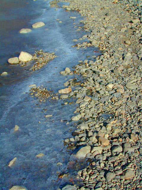
Frozen Edge

camp

Lundy Campgrounds

  • Lundy Canyon Campground
    Mono County Dept of Public Works
    760-932-5440
    36 camp sites w/ picnic tables, fire-rings & bear boxes
  • Lundy Lake Resort
    Bait, tackle, general store, fishing lake, boat ramp.
    626-309-0415
    21 camp sites, 8 cabins, 3 camp huts, 5 RV camp sites

camping

National ForestsThere is not any NFS Campgrounds in this Lundy Canyon, but plenty can be found nearby at Lee Vining Canyon, at junction US 395 & Hwy 120.

Mono Lake also has camping at the county park. And free camping (boondocking) can be found – all up and down US 395

Lakes Canyon Trailhead

hikerLakes Canyon Trailhead

Backpackers & Horse Packer Trains have excellent access to the Hoover Wilderness in the High Sierras. Plus this prime Lundy Canyon location is situated at the back door of Yosemite NP.

Mono County Tourism
800-845-7922

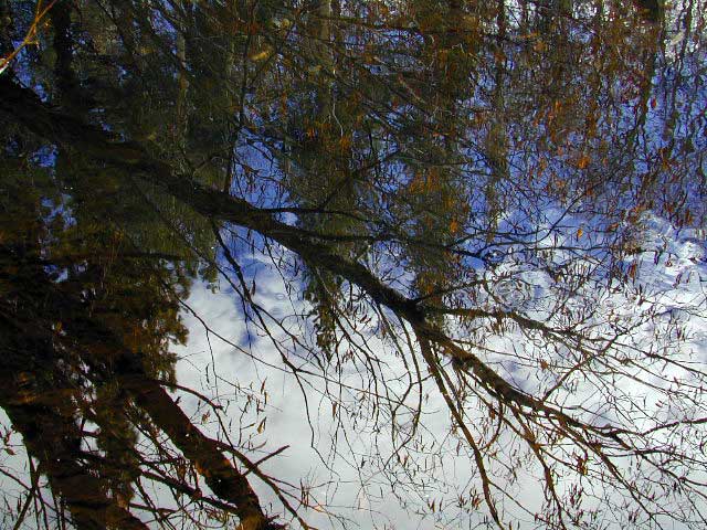
Reflections

Lundy Area Maps:
Hoover Wilderness Trail Map (Tom Harrison)
Inyo National Forest Map (USDA)
Yosemite High Country Map (Tom Harrison)


View Larger Map

Links for Lundy Canyon:

Lundy Lake Road
Lundy Lake Rd, the paved road up climbs the steep canyon to an elevation of over 7500′

Kern River Campgrounds

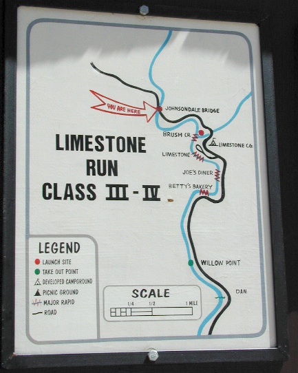
limestonerun

Kern River Campgrounds – NFS

canoeSequoia National Forest Campgrounds
Kern River, Southern Sierra Nevada

All the developed campgrounds listed below charge an overnight fee. Some are open year round, while others close for winter. Few are walking distance to the market, some may have piped running water, and garbage collection. Most have paved loop driveways and can accommodate large RVs. All campgrounds have bathroom facilities.

kern campgrounds California NFS Kern RVing

Upper Kern River
North of Kernville, California

campground

elev

spots

veg

toilet

notes

Fairview Campground

3500′

55

mixed

vault

Upper Kern; RV 45′

Gold Ledge Campground

3200′

37

mixed

vault

Upper Kern; RV 30′

Headquarters Campground

2800′

44

alder

vault

Kern River; RV 27′

Hospital Flat Campground

3000′

40

alder

vault

Kern River; RV 30′

Limestone Campground

3800′

22

mixed

vault

Upper Kern; RV 30′

gold ledge lupine
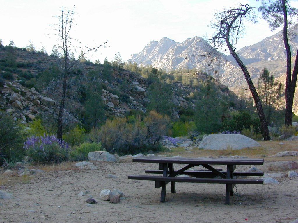
Gold Ledge – blooming Lupine in Springtime

fishNo day use parking lot inside the campgrounds. Park outside the camping grounds for recreation: fishing, hiking, mountain biking, rafting or wildflowers.
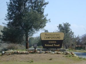
This entire canyon is dedicated to outdoor recreation w/ very few residential streets. Southern Sierra Nevada mountains – the whole Kern River area draws a lot of traffic from its proximity to Southern California.

headquarters kern

eriklovinglife
Outdoors, enjoying lIfe


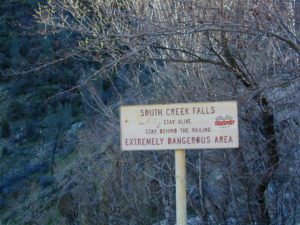
South Creek Falls
South Creek Falls

RV campgrounds campgrounds hiking fishing campgrounds mt biking campgrounds

Lake Isabella
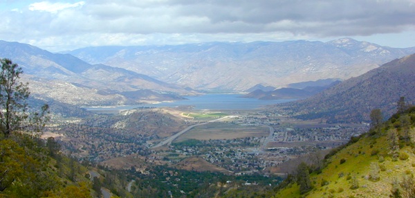
Lake Isabella, Kern Canyon California

Lower Kern River
South of Kernville, California

Granite Boulders

campground

elev

spots

veg

toilet

notes

Sandy Flat Campground

2300′

38

mixed

vault

open all year

Hobo Campground

2300′

35

mixed

vault

2019 closed due to landslide

NFS
Sequoia National Forest
Kernville Ranger Station
760-376-3781

Additional Info on Kern Camping –

Kern Flats Camping: Free Camps
Lake Isabella
Keyesville OHV

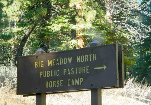
North Meadow

Big Meadow Sequoia 

dirtbikescamp hiker

Kennedy Meadows, South Fork of Kern River
Chimney Peak Backcountry Byway
Dome Land Wilderness

Kern River Canyon
Kern River Hot Springs

Road’s End Resort
(destroyed by wildfire 2002)

Forks of the Kern
Lloyds Meadow Road #22S82

kernrvcamper

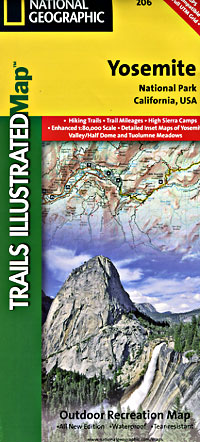
Yosemite Topo

merceddownriver

Yosemite Topo Maps

ti_yosemiteYosemite National Park, in California’s Sierra Nevada mountains, is the most visited of all the National Parks. Tourists, visitors and campers fill the main valley all year long, with the crowds peeking in mid summer. Autumn is gorgeous, winter is snowy, spring is glorious and summer is grand.

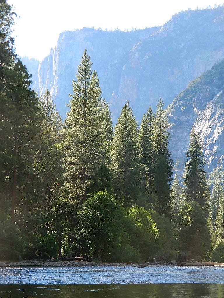
The park has numerous alpine lakes, granite domes, meadows, Sequoia groves and a snow ski resort. Backpacking is popular here, hiking all over, bike rentals w/ miles of paved trails. Plus, the best in big wall climbing. Waterfalls and granite cathedrals tower above the lush, glacier- carved valley. Mighty MERCED RIVER, right through the middle of granite and forests.

Storms of recent have rearranged the landscape inside the valley with a number camping facilities wiped out by the river. Yosemite lost half of the campsites, which dramatically reduced the amount of camping available inside the main valley. Older cabins at Yosemite Lodge are gone. Less camping, but more people means you should make camp reservations early as possible; or search for camping just outside the National Park boundary.

Sightseeing and hiking should be part of your visit to Yosemite Valley. Bring your raft for a float down the river. Stay away from the crowds and take the back roads, with our great selection of Yosemite backcountry maps.

We now have links to digital maps for download!

Topographic maps for Yosemite National Park – and the outlying regions:

Teneja Lake, Hwy 120. Yosemite National Park
Eastern Sierra Camping

Inyo National Forest

Sierra National Forest

Stanislaus National Forest

Yosemite Lakes

Yosemite Lodging

Yosemite National Park

Mariposa County CA
Ahwahnee
Bass Lake
Coarsegold
El Portal
Fish Camp
Groveland
Lee Vining
Mariposa
Midpines
Nipinnawasee
Oakhurst
Wawona
Vogelsang: High Sierra Camp

th_half_dome_d

Backpacking
Day Hikes
GRANITE TERRAIN
Topographic
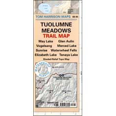
Yosemite Trail Maps

TuolumneMdws

Sunrise Lakes
Sunrise Lakes, Yosemite HSC Loop Hike


12S01 – Sierra NF

12S01kingsriver

Kings River, Sierra National Forest
Road #12S01 – Lower Kings

Located in between Kings Canyon National Park and Pine Flat Reservoir. Graded dirt road w/ trailhead parking & camping; Primitive car camping, vault toilets, some areas accessible by small RV. Campfire permits are required.

Long, (sometimes rough) dirt road, that parallels the north side of the Kings River. Dirt road used by families, fishermen, kayakers, campers, mountain bikers, rafters and rafting shuttle buses, seasonally. May be gated and closed off to the public in wetter months of the year.

Bear Wallow Trailhead
Kings River Trailhead

kingscampsites
click to enlarge

Forest Route 12S01 crosses the river and leads to the south side of the river, near Green Cabin Flat. Mill Flat Campground is back this way.

Road 12S01 gains in elevation, turns to high-clearance, continuing up McKenzie Ridge thru a small slice Sequoia National Forest to the highway Kings Canyon National Park. 4×4 may be needed in wet/snowy weather.

flats of kings

Douglas City Campground

Trinity River Campground

Douglas Steiner Flat Camping

douglasbeach

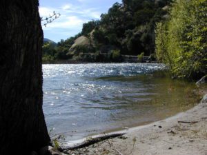
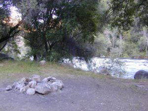
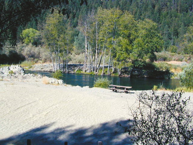
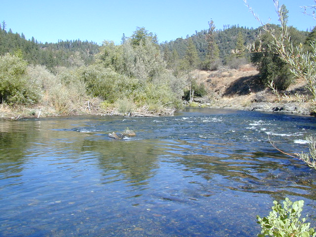
Northern California river camping. Douglas City is hardly even a town much less a city. A post office and a general store is the majority of what makes up this riverfront locale.

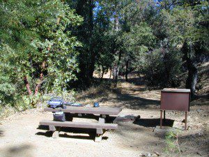
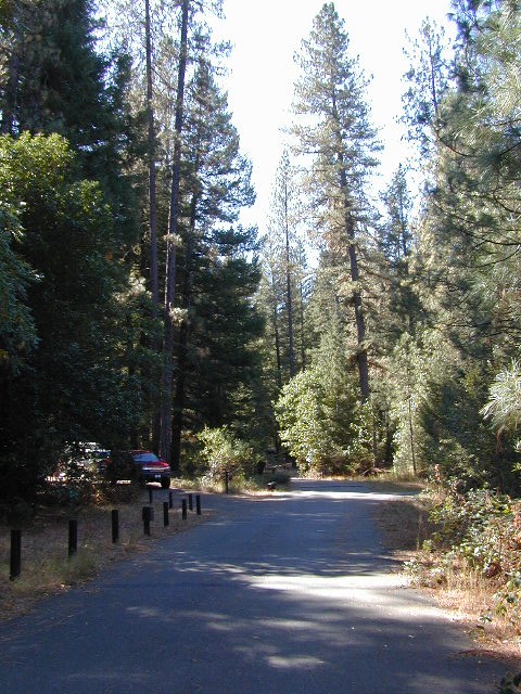
Tucked away on the scenic Trinity River, this small campground is perfect for those wanting to explore the Trinity River, Trinity Lake or the Trinity Alps region. Region is well known for fishing, hiking, kayaking and rafting. A small beach allows for river access. Group picnic area, picnic tables, telephone, beach, paved loop road are just a few amenities.

From Douglas City, drive half mile west on Hwy 299 to Steiner Flat Road. Follow signs to the developed camp. Numerous dirt roads lead to river edge, so there are primitive camping options available along Steiner Flat Road for those seeking free overnight stays.

• Elevation: 1,500′
• Number of Sites: 20
• Camping Reservations: No
• Sites Available: First come, First serve
• Vehicle Accessibility: Vehicle limit 28 ft. max.
• Length of Stay: 14 Days
• Water: Piped; river nearby
• Toilet: Flush & Vault
• Season: Closed for winter, Nov-April
• Fee: Yes
• Operated By: Bureau of Land Management
• Closest Town: Douglas City, CA

BLM Redding Ranger Station
530-224-2100

dscn0001
nearby destinations –
Chanchelulla Wilderness
Chappie Shasta OHV Area
Douglas City, CA
Lewiston Lake
Shasta Trinity National Forest
Trinity Alps Wilderness
Trinity Lake
Weaverville, CA
Whiskeytown Lake NRA

dscn0004

dscn0003