Tag Archives: alpine

Eastern Sierra Hiking

Eastern Sierra Hiking Trails – Mammoth Hikes

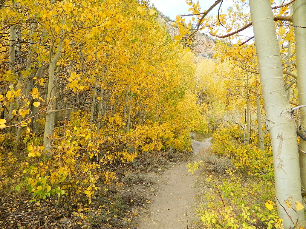
Autumn Bliss Hike

Desert ghost towns to Sierra meadows & waterfalls, Inyo National Forest offers plenty of diversity for scenery. To list all the hikes in the Eastern Sierra would be obsurd, cuz there are so many trails. This side of the Sierra Nevada is all about hiking, fishing & camping.Inyo forest map
No matter where you hike you will probably get a great view over the Owens Valley, Long Valley Caldera or Mono Lake. So that means most of those trails are hiking up a canyon, or a ridge line. Thousands of trails over this region require a good map to make the best decision for your hiking interest.

US HWY 395: The Eastern Sierra is one of the premier hiking destinations of California. Featuring the granite crags of the HIgh Sierra peaks. Mount Whitney, the tallest peak is closest to Lone Pine. Southern Californians love Eastern Sierra destinations, cuz they can avoid Los Angeles Basin and stay outta traffic.

Lone Pine Lake – Whitney Portal is a great, but crowded place for hiking. DO NOT ATTEMPT to hike to Mount Whitney in one day! Leave it to the seasoned pros. The first good stop up the Whitney Trail is gorgeous Lone Pine Lake, a great moderate day hike from there.

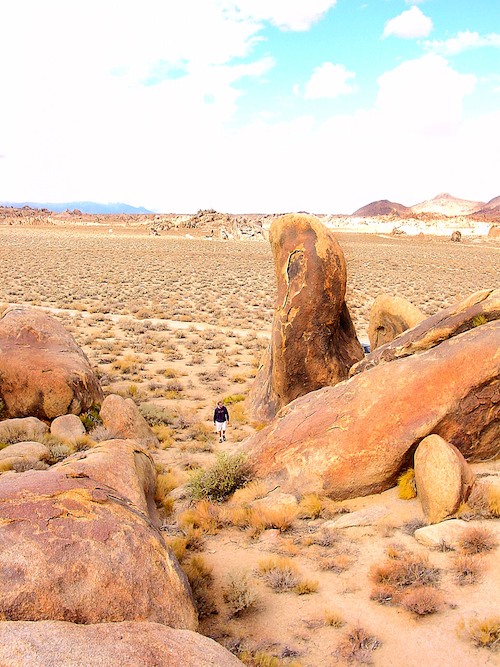
Alabama Hills – just below Mt. Whitney and has a totally different landscape than the backdrop granite Sierras behind. Try some boulder hopping & explore the dirt roads. Bring your mountain bike too.

Cottonwood Lakes (Pacific Crest Trail) – day hikes to alpine lakes. US 395 @ Lone Pine, W on Whitney Portal Rd. Left on Horseshoe Meadow Rd & continue up 19 mi. to the Horseshoe Meadow campground. Mostly a trail head camp, way, way up there. Open May – November

Kearsarge Pass – from 9000′ Onion Valley you can access the incredible High Sierra & numerous alpine lakes. The elevation gain makes this a full days hike; rated strenuous. Or continue on w/ backpack into Kings Canyon National Park.

Devils Postpile – back behind Mammoth Mountain, creeks, forest & cool geology awaits. Plenty hiking trails.

FALL COLORS: Autumn is the best time to enjoy the gorgeous aspen groves, as they change colors w/ the onset of winter.
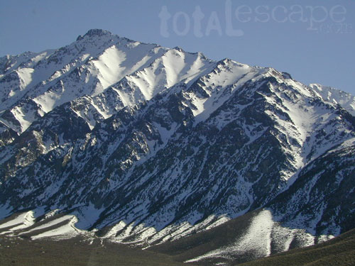
Eastern Sierra Peaks

Topo maps, wilderness hiking maps
Equestrian trails, OHV maps –


Sierra High Country Hikes
Originally uploaded by danamight

Trailhead @ Onion Valley leads up to impressive alpine lakes, Kearsarge Pass & Kings Canyon High Country.

Eastern Sierra communities include:

Alabama Hills
Alabama Hills @ Lone Pine, CA

Tahoe Lake Map

Tahoe Maps: trail maps

lake camp, hike, mountain bike, off-road, ski, snowmobile

Tahoe Trail Maps / Tahoe National Forest

tahoe hiking maps

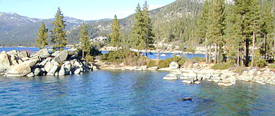
Numerous State Parks dot the shoreline at Tahoe, while the National Forest lands and Wilderness Areas span most of the peaks above. Camping, backpacking, boating, kayaking, fishing, climbing, mountaineering, mountain biking, snow skiing, snowmobiling are all popular recreation in this Sierra region. US Highway 50 and Interstate 80 are the main western access routes to Lake Tahoe. US Hwy 395 leads to Tahoe, up from the Eastern Sierra and Southern California.

Wanna find every waterfall or every creek to fish? This is the place that will help you find them. Easily, with good old fashion printed maps. Hard copies, some waterproof & tear resistant, most with topographical data and all roads, trails, campgrounds and parks. Whether or not you water ski or cross country ski, these maps will save your ass – when you are way back there in the boonies.

Tahoe’s Rubicon Trail connects the historic Gold Country to the alpine lake via granite wilderness sky ways above 7000′ elevation, but a real 4×4 and overnights are required. The back roads and trails are endless in these parts of the Central Sierra Nevada mountains.tahoe maps

keep tahoe blue

Nearby attractions surrounding Lake Tahoe –

Tahoe National Forest
Tahoe Rim Trail
Rubicon 4×4 Trail
Lakes Basin Recreation Area
Sierra Buttes
Desolation Wilderness
Grover Hot Springs
Blue Lakes
Hope Valley

cabin rentals

Lake Campgrounds

Rancheria Falls
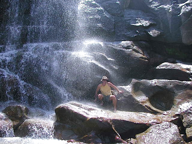
Rancheria Falls, Huntington Lake, CA

California Lake Campgrounds

Wanna Camp at the Lake?
(you’re not the only one)

lakes  fishing boating mountains backroad horseback trails picnic mountain bike camps hikesnight skies

Nothing beats fresh, cold, clean water from the California mountains, in the summertime. Find time to exit the urban rat race, soon. Escape the smoggy city life and the triple-digit heat for a road trip to the higher elevations.

View East from Davis
Crocker Mountain @ Lake Davis, California

Lake Campgrounds are abundant in California, where man-made reservoirs and recreation abound. Alpine lakes in pine forests are also numerous in the west, although only accessible for a portion of the year, they draw in the campers all summer long. A majority of the small lakes are located inside the California National Forests.
USDA / USFS / NFS

NFS State Parks

Larger reservoirs can often be managed by California State Park system. State Parks, SRA, State Recreation Area. Suburban lake locations can be local County Parks. A few locations listed could even be desert lakes.

Many ideal secluded lakes are only accessible with a 4WD vehicle, by foot or horseback. Super scenic, backcountry lakes are so far out – that a day hike is usually required.

tent camp developed campground

primitive camping primitive campsites

RV camper trailers allowed RV campground

hikes wilderness access

Spicer

No motorized boats, camping on west shoreline only, no fishing from the dam, catch & release?

No access for trailers? Individual rules for each lake are different. Learn the basic before you get out there.

CAMPGROUND RESERVATIONS tent camp
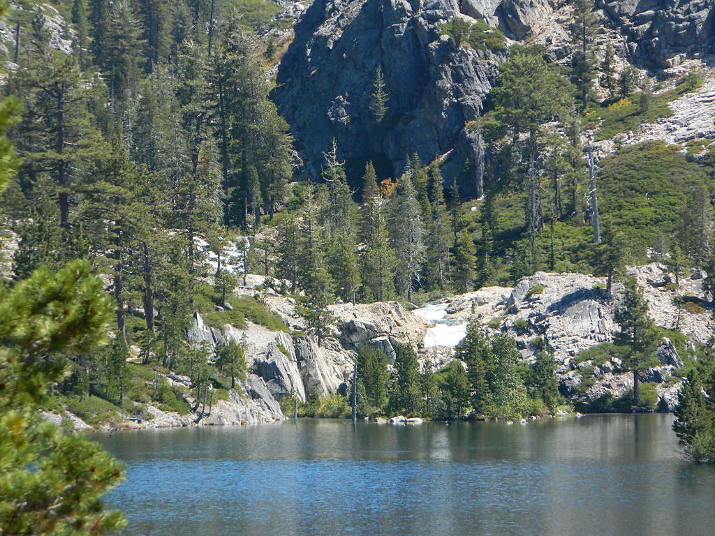
Lake Campgrounds are so popular in California that many require reservations during summer. Many locations accept reservations online and we have links for those too. Other lakes are so small and remote, that only the fishermen, hikers and 4×4 gear-heads know of them.

outdoor recreation found at or near lakes

  • backpacking
  • boating
  • camping
  • canoeing
  • creeks
  • fishing
  • floating
  • four-wheelin
  • hiking
  • horseback riding
  • house boating
  • jetski
  • kayaking
  • mountain biking
  • OHV trails
  • picnicking
  • rivers
  • river rafting
  • swimming
  • water skiing
  • waterfalls

Silver Lake from Above

Lake destinations listed here have some sort of campground facilities. Some may be mini resorts with boat launch, marina or bait shop/general store. RV hook-ups, maybe. Dump station, it will cost you. Usually these bigger lakes are busy centers of tourists activity with boat rentals, RV camping and certain locales are even walking distance from ‘town’.

Fine dining is a rare find on the lakes, but some lake side restaurants (open seasonally & with limited hours) can be found. Most will require reservations, especially on the weekends.

Other lake camps listed are literally on the edge of wilderness – with trails to the high country. The best little lakes will have one dirt road access. Below is a wide variety of lake destinations within California.

 gardisky_lake

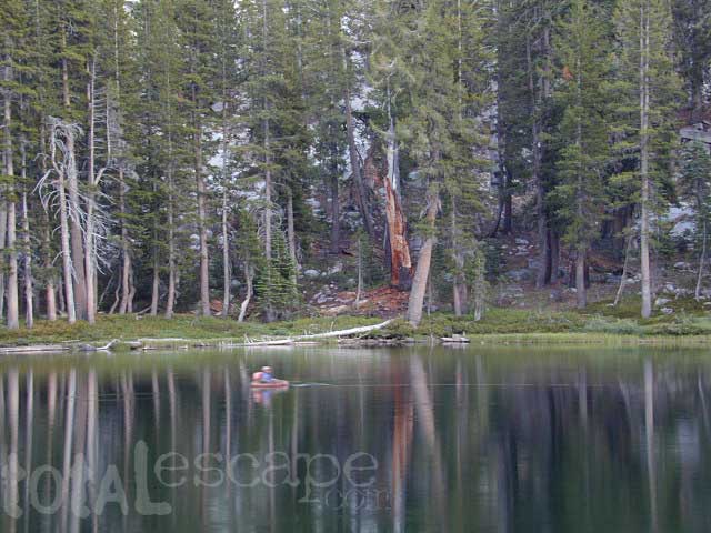
Floating Flyfishing Tube
Red Lake, 4×4 access (primitive, no facilities)

and let’s not forget the ever-popular California Lake List

Grassy Picnic Faucherie Lake

Sierra Nevada Lakes

Crystal Clear Faucherie

California Sierra Lakes
Sierra Lake Destinations
Sierra Lake Campgrounds

One of the best physical features about California is the amount of lakes and reservoirs it holds – in the mountains, foothills and the canyons, throughout the state.

recreational lakes – Huge, dammed reservoirs to the secluded, alpine lakes in the high country and all the variations in between.

bowman

There are literally thousands of lakes located within the Sierra Nevada mountains and it would be ridiculous to try to list them all here. Many of them can only be reached by hiking into Wilderness.

Most California lakes are popular and well known recreation spots, but others are secluded – if you drive far and long enough back on the dirt road. Some do not allow motorized boats and most do allow fishing and swimming. Some have campsites on the waters edge, while other camps are up on a hill over looking the lake.

Below listed are some Sierra lakes that allow camping on the lakeshore or nearby. Most campgrounds are suitable for RVs, tent camping, and some may require 4 wheel drive to reach them. bass lake

huntington lake

Total Escape has several hundred more lakes & obscure camps listed under Almanor, Lakes Basin, Secluded Lakes, Yosemite Lakes, Tahoe & the Eastern Sierra Lakes page.

Or just check the tag for Lakes & Reservoir

sierra lakes

Sawmill Lake Sierra

primitive camp spots

Sawmill Lake, California


N of Donner Pass, Sierra Nevada

elevation 5800′Canyon Creek connects Lake Faucherie, Sawmill Lake and Bowman Reservoir in the Sierra, Tahoe National Forest. 20+ miles of backroad travel, off I-80.

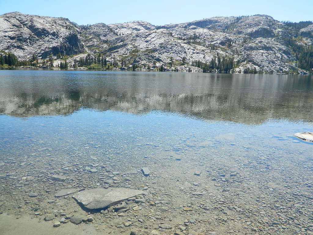
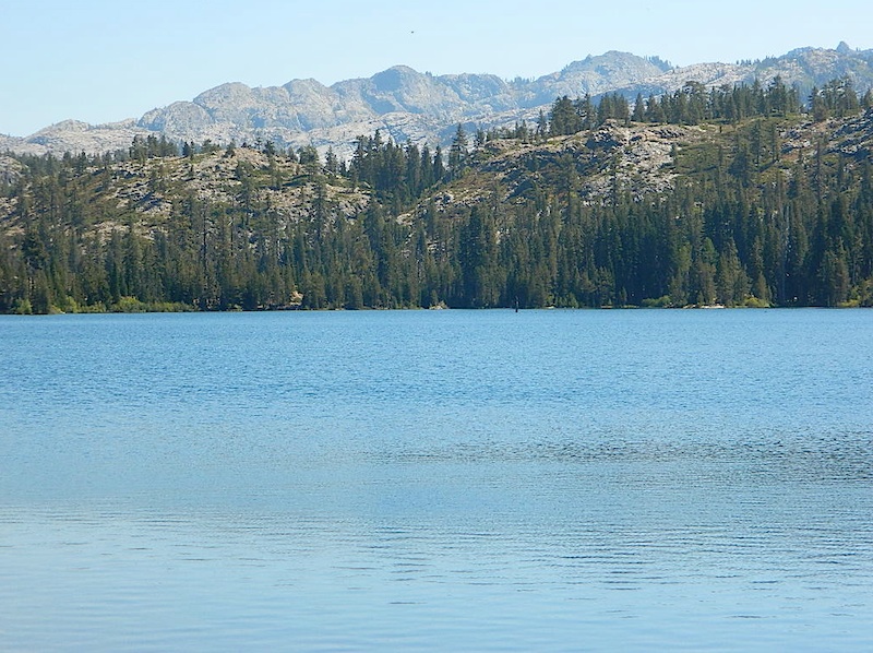
While many consider Faucherie to be the most beautiful scenic lake, Sawmill Lake just downstream a couple of miles is still quite attractive – with dense forests and a granite mountain backdrop. Sawmill is especially nice for those who like to primitive camp, ouside of developed campgrounds. Way off the interstate @ Hwy 20, tucked in way back behind Bowman Lake a few miles, you can find Sawmill Lake.

Sawmill Lake California

Fishing and camping, kayaking and canoeing are all popular recreation around this lake. A trailhead on the northend of the lake leads out to even more alpine lakes (a day hike “lake loop” or backpacking option). The Pacific Crest Trail is also routed nearby.

No motorized boats or watercraft allowed. No boat ramps, no pavement, no picnic tables, no bathrooms, no fees.

4×4 Lake
Fishing Lake
Free Camping Lake

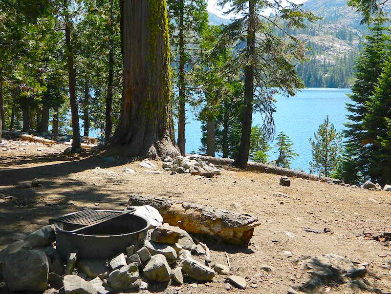
The north shoreline is abundant with dispersed campsites: metal fire rings and a clearing only; no picnic tables, no toilets. Self sufficient campers only. Campfire permits, a water bucket and a shovel are required. During extreme fire restrictions campfires may not be allowed. Check with local rangers for up to date info.

Tahoe National Forest
Truckee Ranger Station
530-587-3558

National Forest Lake & Forest Lake Fishing Kayak lake hiking lake

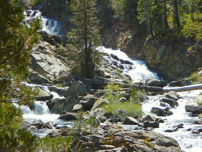
Most campsites are drive up and park, while others closer to the shoreline have only walk-in access. Hauling your gear down hill won’t seem unthinkable once you’ve seen the lakeside views. There is even a camp below the dam, next to the waterfall.

waterfallfromdam

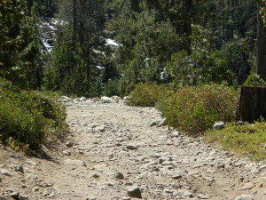
The main access Road #843-037 is very rocky and 4x4s love to frequent the area. The backroads here are best suite for truck travel, high clearance vehicles, off-roaders and SUVs. No small RVs or trailers. Passenger cars are not recommended. The access roads around the lake and up to the lake are dusty and rugged. The road below the dam is quite rough w/ rocks.

For more driving details, please see entry on Canyon Creek Campground.

road at dam
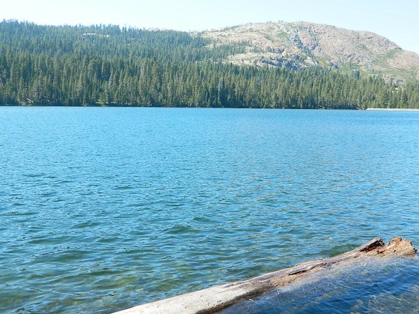
The water at Sawmill Lake is crystal clear snowmelt. The lakes around here are managed by Nevada Irrigation District, so this is why there are no engines allowed on the lake. This canyon area closes to public entry during winter months (NOV-APRIL), due to deep snow.

clear water

Faucherie Lake

Faucherie Kayak Camp

Faucherie Lake California

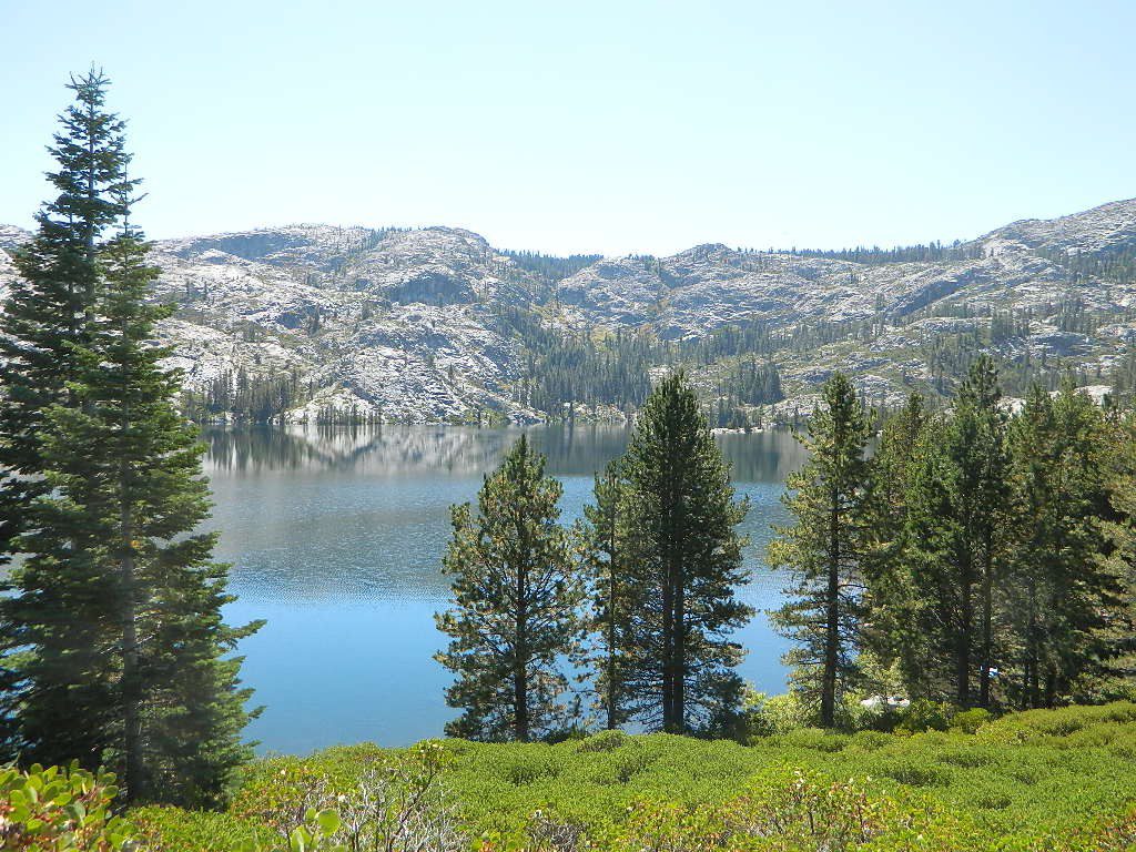
Lake Faucherie is set in spectacular scenery of granite mountains, with peaks and waterfalls all around. Many believe that you could only reach this kinda high elevation beauty by foot, with a backpack, but here it is – accessible by a very long, rough & rocky backroad.

No motorhomes, no camper trailers, no motorboats, no engine noises on the lake, no big families. Just well-deserved solitude, finally. Peace and quiet!

Perfect alpine lake for car-top boaters – those who carry their boats on top of a vehicle. But be warned very few ‘passenger cars’ make it back this far, due to the challenging roads.

BACKPACKING, CAMPING, CANOEING, FISHING, FLOATING, HIKING, KAYAKING, OFF-ROADING, SOAKING, STARGAZING, SWIMMING

No motorized boats or watercraft allowed. One public boat ramp; gravel parking area, vault toilets, gated entry for group campground. No more driving across dam (it is now gated).

NFS NFS NFS kayak camp hiking mountains NFS backroads snowmelt stars

Faucherie Lake Road – a spur road, off of the ‘843 Road’ leads up to both Sawmill & Faucherie Lakes, as well as the Canyon Creek Campground.

This primitive road forks off at Jackson Creek Campground, Tahoe NF, way, way back behind Bowman Lake. The rugged route is also known as Nevada County Rd #843-037. Conflicting numbers appear on USDA web site for this route, so don’t get confused.

The brown Forest Service signage is decent at Jackson Creek Campground – so if you get that far, you’re almost there. Sorta. Did I mention how crazy the road is? Any wet weather or snow will make this route “4×4 required”. This place is closed off about half the year, due to deep snow (NOV-MAY). Although on summer weekends, this area is busy for a remote high Sierra lakes region.

To reach this rugged Canyon Creek takes hours of driving with a good backcountry map and a reliable, high clearance rig. AWD Subies and mini SUVs beware, you’ll need a spotter on the bad sections of this road (or risk serious oil pan damage). Or perhaps maybe, we “shouldn’t be back on these kinda roads in that ‘lil sportwagon’ missy.”

See more details on driving directions for Canyon Creek Campground.

Crystal Clear Faucherie

Faucherie Lake Group Campground
(25 people maximum per site)

• Elevation: 6135′
• Number of Sites: 2
• Vehicle Access: High Clearance Vehicle, no trailers
• Campsites Reservation: Yes
• Camp Fee: Yes
• Season: June – October
• Trailheads: Faucherie Lake Falls, Five Lakes Basin, French Lake, Haystack Mountain

camp
Faucherie Group Camping

Campground Reservations:
Nevada Irrigation District
530-265-5302

incoming flow

Faucherie Falls – Six waterfalls above lake:
Upper Faucherie Lake Falls #1: 39.4257 N, 120.5616 W
Upper Faucherie Lake Falls #2: 39.4257 N, 120.5606 W
Upper Faucherie Lake Falls #3: 39.4262 N, 120.5568 W
Upper Faucherie Lake Falls #4: 39.4268 N, 120.5550 W
Upper Faucherie Lake Falls #5: 39.4270 N, 120.5544 W
Upper Faucherie Lake Falls #6: 39.4272 N, 120.5538 W
USGS Topo: English Mountain

Granite Faucherie

Trinity Alps Camping

Trinity Alps Wilderness Campgrounds

Northern California Camping
Shasta Trinity National Forest

Trinity Alps Wilderness

camp


  • backpacking
  • camping
  • fishing spots
  • floating
  • hiking
  • hunting
  • kayaking
  • mountain biking
  • off-roading
  • soaking
  • swimming holes
  • tubing
  • stargazing

trinitydetail

campgrounds near Trinity trailheads –

camping Highway 3
(California State Route 3):

  • Horse Flat Campground, near Eagle Creek trailhead
  • Eagle Creek Campground @ Hwy, near Stoddard Lake & Eagle Creek trailhead
  • Goldfield Campground, near Boulder Creek trailhead
  • Big Flat Campground (via Coffee Creek Road #104)
  • Preacher Meadow Campground @ Hwy, near Swift Creek trailhead

camping Highway 299
(California State Route 299):

  • Ripstein Campground, near Canyon Creek trailhead
  • Hobo Gulch Campground, on Road #34N07
  • Hayden Flat Campground, near Big French Creek & Green Mountain
  • Denny Campground, near Jim Jam Ridge, East Fork & New River; Way out west
  • Groves Prairie Campground, near Grizzly Camp trailheadtrinityalps_lg
  • Happy Camp Campground, near Grizzly Camp trailhead

camping Highway 96
(California State Route 96):

  • Tish Tang Campground, near Tish Tang trailhead
  • Box Campground, near Red Cap Lake, Bear Hole & Mill Creek Lake
  • Klamath Riverside Campground @ Hwy, near Salmon Summit

camping Salmon River (Cecilville Road #1C02):

trinitysign
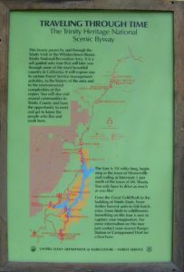
Trinity Scenic Byway (CA SR 3)

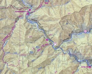
NorCal Topographic Maps – Trinity Map

Shasta Trinity National Forest Map

Pacific Crest Trail Map #6 (Shasta Cascades)

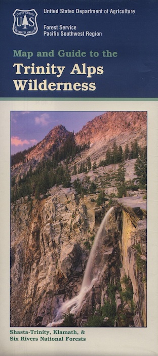
Trinity Alps Wilderness Map

outdoor destinations also nearby –


View Larger Map

Campground Lakes

RV California / Campground Lakes / Camping Lake

RV lake Camping

Wanna vacation near a lake this season? So does everyone else in California.

“Mountains” & “lakes” are the top camping destinations sought by most web surfers. Be prepared to search for your ultimate lake side camp. Summertime is prime time at all water sources, so make your reservations, or better yet – find a secluded lake all to yourself. (4×4 may be required).

boating marina camping RV Camp boating

Lakes area recreation & camping sites in California

granite domes


Sierra Nevada Lakes

Dinkey Lakes Wilderness

Central Sierra Nevada

Wilderness lakes
Courtright Reservoir w/ CLIFF LAKE trailhead

Dinkey Lakes California

Dinkey Creek Road
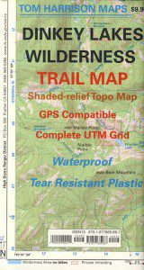
Tom Harrison Dinkey Map East of Shaver Lake, Hwy 168

30,000 acres

Sierra National Forest

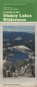
Located in the high elevations between Shaver Lake and Courtright Reservoir is the Dinkey Lakes region. Granite domes and alpine lakes are the key feature of this mid-Sierra forest. John Muir Wilderness is located on the east (right) side of Courtright, while Dinkey Lakes Wilderness is on the opposite west (left) side.

  • alpine lakes
  • backpacking
  • camping
  • creeks & streams
  • cross country ski
  • fishing
  • granite domes
  • horseback trails
  • hiking trails
  • off-roading
  • rock climbing
  • snowmobiling
  • snowshoe
  • stargazing
  • wildflowers
  • wildlife viewing

4 wheel drive trails serve some of the Wilderness boundaries. Dusy Ershim OHV Trail (pronounced ‘doosey’) crosses the boulder strewn terrain for 30 rugged miles, from Courtright to Kaiser Pass. Road #8S10 is known as ‘Red Lake Road’ and pretty popular among 4x4s and fishermen. This high clearance 4×4 trail accesses both scenic lakes – Red Lake and Coyote Lake, as well as Dinkey Wilderness trailheads.

Trailhead Access:

Access the trailheads on the north side of Dinkey Creek Road, a paved route which connects Shaver Lake to the Sequoia McKinley Grove and then on to Wishon and Courtright. Rock Creek Road #9S10 becomes dirt and leads up to the Dinkey Lakes hiking trails.

Paved Dinkey Creek Road leads out to the Trails End trailhead. Dinkey Creek and main Campground is located at 5840' elevation and tucked deep in the forest, about 10 miles east of Shaver Lake. Beyond the Sequoia grove is Wishon & Courtright Reservoirs w/ Cliff Lake trailhead. All the other trailheads located at these large lakes lead over to John Muir Wilderness.

Paved Dinkey Creek Road leads out to the Trails End trailhead. Dinkey Creek and main Campground is located at 5840′ elevation and tucked deep in the forest, about 10 miles east of Shaver Lake. Beyond the Sequoia grove is Wishon & Courtright Reservoirs w/ Cliff Lake trailhead. All the other trailheads located at these large lakes lead over to John Muir Wilderness.

The Dinky Creek locale (on most maps) is located at the main Dinky Creek Campground, along Dinky Creek near the historic Dinky bridge on a small, paved, side route north of the main road. Although this summer vacation area is well signed, people can often miss this turn, especially at night.

DSCN0005

USDA map Two main hiking trail systems can be accessed from the west, via Tamarack Ridge (parking at Hwy 168). Both dirt routes from highway, Road #9S09 and Road #8S10 lead out to Dinkey trails, although one is rugged 4×4 trail, Red Mountain OHV, and the other is a long, graded dirt road.

Kaiser Pass Road to the north side has even more trails leading into Dinkey. Badger Flat and White Bark trailheads are closest points to Huntington Lake, CA. Bolsillo trailhead is way back near Florence Lake, which also has a major trailhead and paved parking.

NFS


local rangers:

Sierra National Forest
High Sierra Ranger District
29688 Auberry Rd
Prather, CA 93651
559-855-5355

Secluded Camping
4×4 Camping at Coyote Lake


Trinity Alps Lakes & Waterfalls

Trinity Wilderness Lakes & Waterfalls

Grizzly Falls -- Trinity Alps Wilderness

Northern California Lakes
Shasta Trinity National Forest

NFS


Trinity Alps Wilderness

lake


Lakes & Waterfalls in the Trinity Alps region –

Canyon Creek Fallstrinityalps_lg
Trinity Lake
Josephine Lake
Hidden Lake
Caribou Lake
Lost Lake
Grizzly Lake
Sapphire Lake
Papoose Lake
Emerald Lake
Conway Lake
Barker Lake
Foster Lake
Boulder Lake
Cecil Lake
Lion Lake
Ward Lake
Mirror Lake
Long Gulch Lake
Trail Gulch Lake
Fox Creek Lake
Red Cap Lake
East Boulder Lake
Middle Boulder Lake
Big Boulder Lake
Big Bear Lake
Big East Fork Lake
Little Bear Lake
Canyon Creek Lakes


Trinity Alps Lake

Mineral King Camping

DSCN0019

Mineral King is a magnificent canyon in the southern portion of Sequoia National Park, east of  Visalia, CA. So magical indeed that Disney tried to purchase the rugged scenic lands for a wilderness ski theme park in 1960. Thankfully that project never happened, due to strong opposition from preservationists. Mineral King became part of Sequoia National Park in 1978.

Mineral King is the Great Western Divide, where high peaks separate the foothills from the taller Eastern Sierra range. Upper Kern River Canyon lies beneath as the main south drainage from the very tallest peak, Mount Whitney @ 14,494′

sierra topo maps

Mineral King Road is a paved off shoot from Highway 198, just to the east of the town of  Three Rivers, CA. The road is steep and curvy and 25 miles long. No gasoline at all. No RV motorhomes or trailers are permitted to travel this scenic and amazing back road. Certain portions of the road are dirt and usually graded, but most of the route is paved.  Snow closes the road in winter months – NOV-MAY.

We usually get less than a half year to enjoy this special place, so make plans in advance to fit this destination into your schedule JUNE-JULY-AUG-SEPT.

And do not even think of trying to cram spectacular Mineral King into an already packed Sequoia Park weekend trip. The Giant tree Sequoia groves, Hume Lake and Kings Canyon are over an hour north (hwy 198), to other side of the park.

If you have a full week to hang out in the Sequoia National Park area, then obviously Crystal Cave and Mineral King should be on the list, but keep in mind taht each destination will take a full day to drive to and explore.

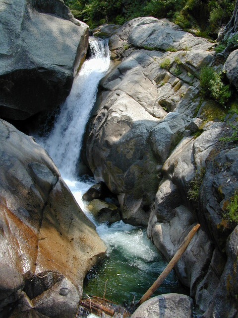
Driving the distance on Mineral King Road, the wonders abound on every curve. Wildlife, waterfalls, water flowing and the dense forests.

Atwell Mill Campground is located at an old wood mill site and has a good hike to a footbridge at Kaweah River. There is a small cabin community called Silver City which caters to summer crowds and family campers. Only open during the warm season.

At the very end of Mineral King Road is the gravel parking. Step out into high elevation (7830′ above sea level), breathe deep and enjoy the granite bowl of alpine bliss with creeks, meadows, wildflowers, picnic spots, hiking trails and scenery everywhere. Mid day sunshine can be bright. Black bears and marmots are very common.

Cold Springs Campground is the last developed campground, located next to a raging creek. The hike-in sites are the best choice for seclusion at this camp.

South Fork Campground is the smallest of the campgrounds in this area; located in the foothills at 3600′ elevation, open all year. From Highway 198 (W of the town of Three Rivers), take South Fork Drive 13 paved miles to camp.

KaweahFalls

mineral king backpacking

Mineral King is a favorite destination among backpackers as it gives instant access to many high country trailheads with mostly paved road driving. Located deep in the forest at end of a long road, near the center of the Sierra Nevada range gives ample hiking in every direction. The hikes are steep and challenging, but the rewards are solitude, true wildness and grandeur scenery. Although inviting, these steep passes might not be adequate for beginner backpackers, so please keep that in mind when planning. Fishing lakes, day hikes, horseback trails, waterfalls, creeks, and jagged mountain peaks.

From Mineral King you can access the these popular spots – PCT, the Great Western Divide, the Golden Trout Wilderness, Sequoia National Park, Kings Canyon High Country, Keasarge Pass, John Muir Wilderness.

top maps for the region –

Desolation Wilderness

Desolation Wilderness Area

63,690 acres, a federally protected wilderness area located along the crest of the Sierra Nevada mountain range – in between Lake Tahoe and the Gold Country, on the western slopes. This is back country Tahoe @ tree-line, where big, bare granite rock of the High Sierra meets the snow melt in 80 alpine lakes; several streams; hiking, fishing horseback riding, and backpacking. Elevation range approx. 6000′ – 9,985′

El Dorado National Forest

916-573-2600

The Tahoe Rim Trail and Pacific Crest Trail pass through the wilderness.

Desolation Wilderness Map
(National Forest Service USDA)

Desolation Wilderness Topo Map
Desolation Trail Map
(Tom Harrison Maps)

List of Desolation Wilderness trailheads:

  • Loon Lake Trailhead
  • Buck Island Trailhead
  • Van Vleck Trailhead
  • Rockbound Trailhead
  • Twin Lakes Trailhead
  • Lyons Trailhead
  • Twin Bridges Trailhead
  • Ralston Trailhead
  • Echo Trailhead
  • Echo Lakes Trailhead
  • Glen Alpine Trailhead
  • Mount Tallac Trailhead
  • Bayview Trailhead
  • Eagle Falls Trailhead
  • Meeks Bay Trailhead
  • Horsetail Falls Trailhead

List of nearby towns:


View Larger Map