Angeles Crest Back Roads – Angeles OHV Routes & Trails
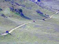
Mt. Gleason Road / Santa Clara Divide Rd.
Angeles Crest Hwy.2 , North 9 mi. Left onto Angeles Forest Hwy.N3, drive 12 mi. to intersection of Santa Clara Divide Rd.
- Turn left on paved road to Mt. Gleason. Many dirt roads will eventually branch off on the right side. A forest service map is advised for dirt road exploration.
- LOOP -Turn right & go up the mountain past Mt. Pacifico & beyond (eventually hooks back up with Hwy.2 near Chilao area.(Check with ranger if your planning on doing this loop to make sure all gates are open)
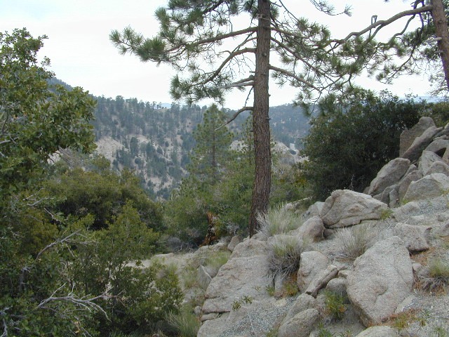
Angeles Forest provides over 300 miles of designated OHV roads/routes. When off-roading, all vehicles must meet DMV standards for mufflers & registration. Off-highway smaller vehicles must be equipped with approved spark arresters & have valid green stickers. State law requires that ALL ATV riders wear a helmet.
- Rowher Flats OHV Area – Santa Clara/Mojave Ranger Dist
- Littlerock OHV Area – Santa Clara/Mojave Ranger Dist
- San Gabriel OHV Area – San Gabriel Ranger District
California Trail Ettiquette –
CLOSURES: Occasionally areas may be closed due to emergency situations, for resource protection, or during specific seasons when disturbances may drive animals from important habitat. These closures are usually temporary, and your patience and cooperation is appreciated.
RESPECT THE LAND DUDE
- Stream banks & lake shores are especially sensitive areas; VERY susceptible to damage. These waterway & creeks in California, are sources of food and shelter to wildlife.
- Cross streams at a 90° angle at a slow speed and – DickHead, do not travel up & down stream channels. These are precious areas.
LEAVE A GOOD IMPRESSION: Around developed sites, give other folks the space and quiet you would appreciate. Space out the RVs if possible. It’s not an RV park kinda deal. By law OHV traffic are permitted to exit & enter campgrounds, but not to PLAY within a campground. No one likes dusty salsa. If your muffler is not quiet (you’re an ass!), push your machine in the campground, with the engine shut off.
STAY ON THE TRAIL: Cutting switchbacks, taking shortcuts or hillside climbing may be a big thrill & challenge, but once vehicle scars the earth, other vehicles follow. The mob mentality maybe, Macho shit. The deep muddy ruts do long-lasting damage to vegetation, plus it doe not help w/ erosion. Rains cause further damage by washing deep gullies in tire ruts. Vegetation & wildlife habitat is lost. Ugly, permanent, unsightly scars on the earth result. Staying on trails helps protect the land. And helps keep trails open!!
Become a Adopt-a-Trail Volunteer – contact your local NFS
Outdoor Volunteering in California!
Angeles Forest – LA Back Roads
nearby towns –
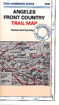
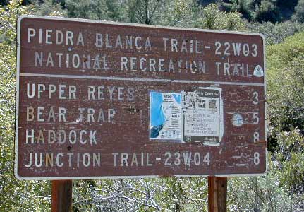
Angeles Maps – hiking, OHV & mountain biking –