Tag Archives: atlas

Lassen Forest Roads

Lassen Backroads

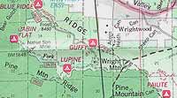
Lassen National Forest roads and trailheads, surrounding Lassen NP

Lassen Forest

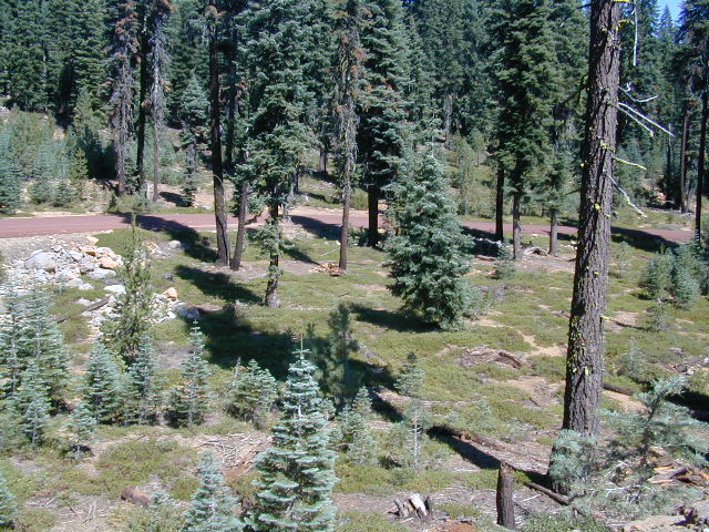
Lassen National Park is completely encompassed by National Forest land with dirt roads, off road trails, serene lakes, secluded camp sites, hiking trailheads and wilderness access

California State Route 89 (highway 89) runs north/south thru the middle of the park and closes for months due to winter snow.

California State Route 36 (highway 36) runs east/west on the south side of the National Park, connecting Red Bluff to Susanville, CA

California State Route 44 (highway 44) runs east/west on the north side of the National Park, connecting Redding to Susanville, CA

camp

East of Lassen National Park

Lassen Forest Road #10
Echo Lake, Silver Lake, Caribou Lake. Campgrounds, trailheads, backpacking, day hikes, parking, equestrian.

Crater Lake on the north side of Hwy 44

Lassen Forest Road #318
Juniper Lake Road (aka Chester Juniper Lake Rd)
N of Chester, CA
paved first 5 miles, then becomes graded dirt road for another 5.

Benner Creek runs along the first half of this route w/ Banner Creek Campground: elevation 5562′ / 9 camp sites / open May-Nov

Juniper Lake at end of road w/ NPS campground
elevation 6792′ / 18 camp sites / open June-Sept

Lassen Forest Road #312
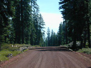
Warner Valley Road (aka Drakesbad Road)
N of Chester, CA
10 miles long, paved most of the way, then becomes graded dirt road out to Drakesbad meadow.

Lassen Forest Road #311
W of Chester, CA

Wilson Lake Road, connects Hwy 36 to Road #312
Domingo Springs Campground: elevation 5060′ / 18 camp sites / open May-Nov

fish

Lassen Road #29N18
W of Chester, CA
Loop route off Forest Road #311 w/ North Fork of the Feather River, leading to Elizabeth Lake trailhead

Lassen Road #29N19
W of Chester, CA
Graded dirt road w/easy access. Connects Forest Road #311 to highway, paralleling Hwy 36. Lost Creek runs along this route w/ Willow Springs Campground: elevation 5100′ / 14 camp sites / open May-Nov

West of Lassen National Park

Lassen Forest Road #17
W of Lassen NP
North-South dirt road that connects highway 36 to highway 44.

Heart Lake trailhead
At the south end on Hwy 36 is Battle Creek Campground: elevation 4800′ / 50 camp sites / open April-Oct

Lassen Forest Road #29N22
Mineral Road connects Hwy 89 to Viola on Hwy 44
McGowan Lake Winter Recreation Area at South entrance of Lassen National Park
nlassen
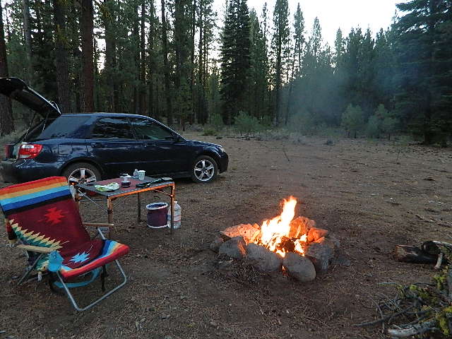
Camping North Lassen

North of Lassen National Park

Lassen Forest Road #32N13
Lassen Forest Road #32N22 (PCT crosses this route)
Twin Bridges networks dirt roads @ Hat Creek.
near Old Station Visitors Center (junction Hwy 89 & 44).

Hat Creek and Cave Campground on highway 89, Big Pine Campground off highway; Numerous dirt back roads for dispersed camping, near the viewpoint on highway 44

Road #32N20
Road #32N56 – road just south of Subway Cave near Old Station, off SR Hwy 44 lead to small Baker Lake.

Road #32N92Y side route leading from Hwy 44 to Road #32N21 along Butte Creek.
Butte Lake Ranger Station and Butte Lake Campground: elevation 5600′ / 20 camp sites /open May-Oct

Road #32N09 connects Forest Road #10 to Widow Lake trailhead and Butte Lake.
Road #32N60 is Bogart Winter Recreation Area, at Hwy 44

Hat Creek Lassen Road #18 runs north/south along Hat Creek Rim. Dirt road parallels Hat Creek Valley on the east side of Hwy 89
Road #22 connects Hwy 89 to Hat Creek Rim. A popular hang glider launch area after the University of California Radio Astronomy Observatory, then the road continues eastbound to cross Pittville Rd #111 and ends up at Little Valley

Lassen NF Road #111 is Pittville Rd, runs north/south paralleling Hat Creek Rim to the east side. This 30 mile long route connects Hwy 44 to Pitt River at Hwy 299 near Fall River Mills, CA

LASSEN MAPS
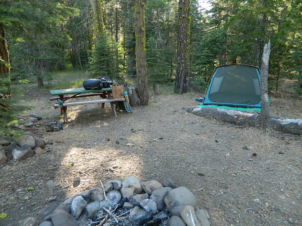
Lassen Camping for Free, Mill Creek @ 172
Lassen Camping for Free on Mill Creek

campfire

see also – Thousand Lakes Wilderness & Lassen Lakes

California Camping Maps

California Campground Maps

Maps are the key to finding your very own slice of heaven in the Wilderness. Online map sources can barely get you to your city destination correctly, much less the remote waterfall you desire. You will need a real map for your adventure. A topographical map, with all the details, dirt roads & hiking trails. If you are seeking to stay away from the touristy crowds, this is the best possible place you can be…. on this site, searching for ways to make it happen – this weekend.

BACKPACKERS BACKPACKING MAPS –

maps of California
Mount Whitney, John Muir & way beyond the High Sierra. DanaMite has all the California Wilderness maps on the new map shop. Various brands and types of maps. Most are printed on waterproof plastic now & are tear-resistant.

CAR CAMPING MAPS –

El Dorado Camping
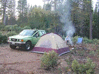
Planning on camping outside of the developed campgrounds & finding that perfect stream side spot without the reservation & the fees? Then you will need a free fire permit (from a ranger station), plus a good map of the forests & a vehicle capable of handling the rugged the back roads. Much of California is prone to wildfires, so make sure campfires are even allowed on the backroads, before you get out there. Call the “field rangers” for back road advice and current recommendations.

CALIFORNIA OFF ROAD MAPS –

Wanna take that 4×4 vehicle somewhere really special this season? Camp well beyond the masses, way down that dirt road. We have OHV maps for SoCal, the deserts & all the National Forest maps too.

CALIF CAMPGROUND MAPS –

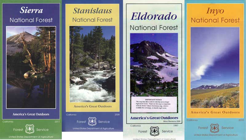
Start your search on the perfect campground or camp site with the destination in mind. Mountains, deserts, coastal. Parks & forests all have their own maps with all nearby camp grounds listed. We feature all the National Forest maps, as well as some State Park & National Park maps

See all California topo, hiking, camping maps

Sierra Nevada maps

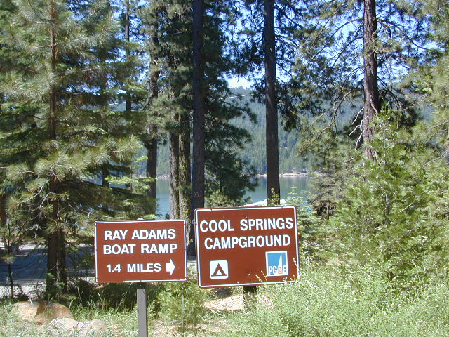
coolsprings

  • California A to Z
  • California Camping
  • California Elevations
  • Camp Firewood
  • Camp Potty
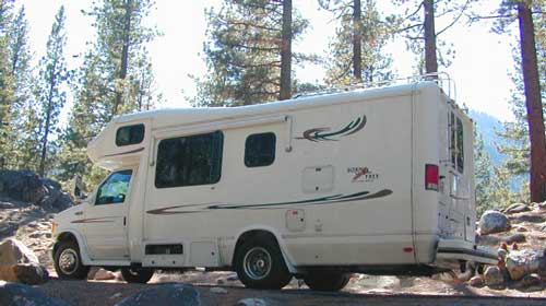
  • RV camping deep in the Sierra
    RV camping at it's best in the Sierra; This rig found themselves deep in the alpine lush meadows with towering trees and a view and a very private camp site.
    Big Bend CA
    Big Bend Ranger Station, off I-80

    Shop Total Escape

    support this site: 

    shop online with the links below and help keep this web site alive

    maps, books, gear
    outdoor person gift list

    outdoor person gift

    Over the decades Total Escape has seen many affiliate programs dissolve, but Amazon has always held true, which is why we still link to them. Follow links to the new shop pages!

    amazonbutton

    Baja California Maps
    totalescape.net/shop/baja-california-maps/

    Big Bear Maps
    totalescape.net/shop/big-bear-trail-map/

    Big Sur Maps
    totalescape.net/shop/big-sur-maps/

    Borrego Maps
    totalescape.net/shop/anza-borrego-desert-map/

    California Backpacks
    totalescape.net/shop/outdoor-gear/backpacks/

    California Maps & Atlas
    totalescape.net/shop/state-atlas-maps/

    California Tackle & Fishing
    totalescape.net/shop/outdoor-gear/tackle/

    Camp Batteries
    totalescape.net/shop/outdoor-gear/camp-battery/

    Camp Chair
    totalescape.net/shop/outdoor-gear/camping-chairs/

    Camp Tents
    totalescape.net/shop/outdoor-gear/tents/

    Camp Gadgets
    totalescape.net/shop/outdoor-gear/camp-tools/gadgets/

    Camp Kitchen
    totalescape.net/shop/outdoor-gear/camp-kitchen/

    Camp Lighting
    totalescape.net/shop/outdoor-gear/camp-lights/

    Camp Soaps
    totalescape.net/shop/outdoor-gear/camp-soap/

    Camp Storage
    totalescape.net/shop/outdoor-gear/camp-storage/

    Camp Tools
    totalescape.net/shop/outdoor-gear/camp-tools/

    Camp Water
    totalescape.net/shop/outdoor-gear/camp-water/

    Camping w/ Bears
    totalescape.net/shop/outdoor-gear/bears/

    Camping Coolers
    totalescape.net/shop/outdoor-gear/coolers/

    Camping Stoves
    totalescape.net/shop/outdoor-gear/camping-stoves/

    Camping Tables
    totalescape.net/shop/outdoor-gear/camp-tables/

    Coleman Gear

    GPS Units
    totalescape.net/shop/map-gear/gps-units/

    Outdoor Books for California
    totalescape.net/shop/

    Outdoor Radios
    totalescape.net/shop/outdoor-gear/outdoor-radios/

    Sleeping Bags
    totalescape.net/shop/outdoor-gear/sleeping-bags/

    Wilderness Maps
    totalescape.net/shop/wilderness-maps/

    Gear for Outdoors