Warner Mountains
Modoc Country
Northeast California

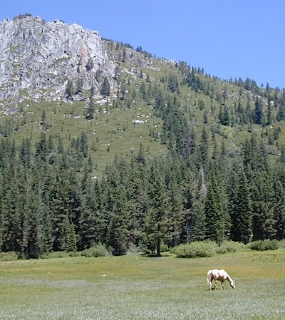
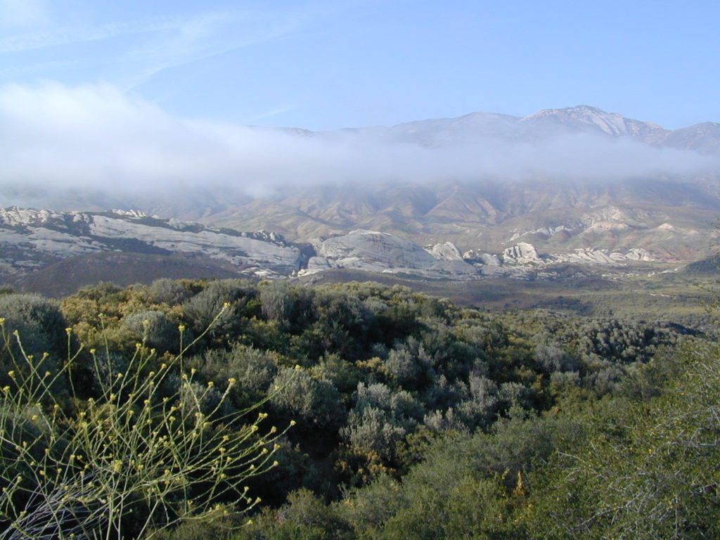
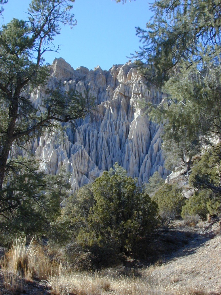
Wide open spaces, mountains, rivers and ranch lands. The very last of the unexplored high country of California. Rural and rustic regions are full of forested mountain ranges with sage brush meadows lying below. Valleys are high elevation deserts with a base terrain sitting above 4000′; Peaks @ 8000′ above sea level.
South Warner Wilderness
70,000 acres
80 miles N of Susanville, CA
Modoc National Forest
![]()
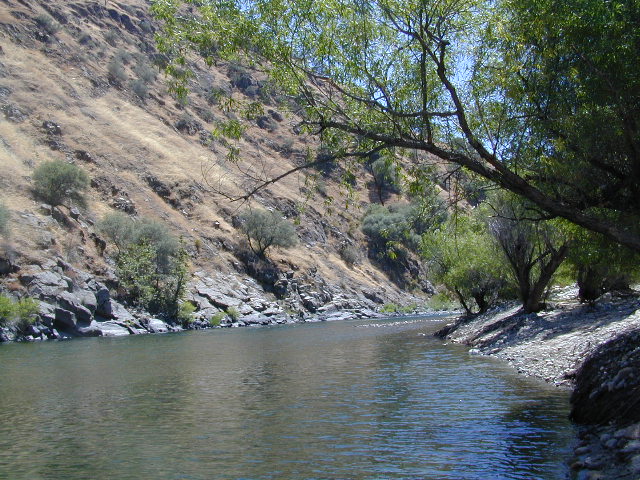
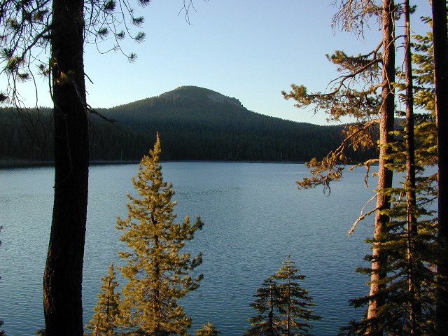
South Warner Wilderness is in the southern portion of the Warner Mountains, a north south positioned range, located in the top corner of the golden state. Surprise Valley lies to the east, bordering the Nevada state line and Alturas w/ US Hwy 395 on the west side.
California SR 299
Hwy 299, the only paved thoroughfare cuts right through the middle of the Warner Mountains. Paved Parker Creek Road #56 climbs up Parker Creek from Alturas, accessing camping, hiking, dirt back roads and wilderness trailheads. Warner Mountains State Game Refuge is north of the wilderness area.
One dirt route skirts the wilderness boundary – West Warner Road #5, which leads from Parker Creek due south to Jess Valley Rd #64. Blue Lake Road, Patterson Mill and Road #39N15 are nearest to East Creek. Winter driving tips from NFS.
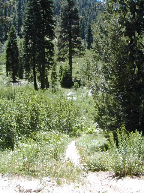
- backpacking
- camping
- creeks
- fishing
- hiking
- horseback riding
- hot springs
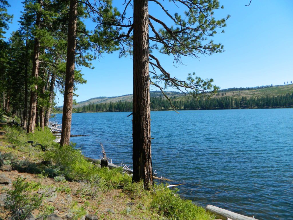
- lakes
- waterfalls
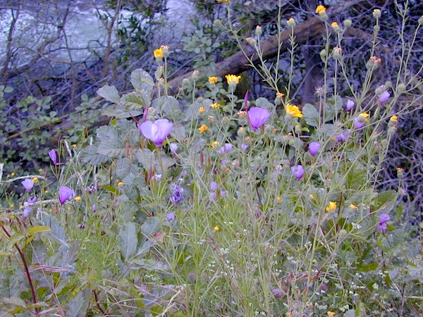
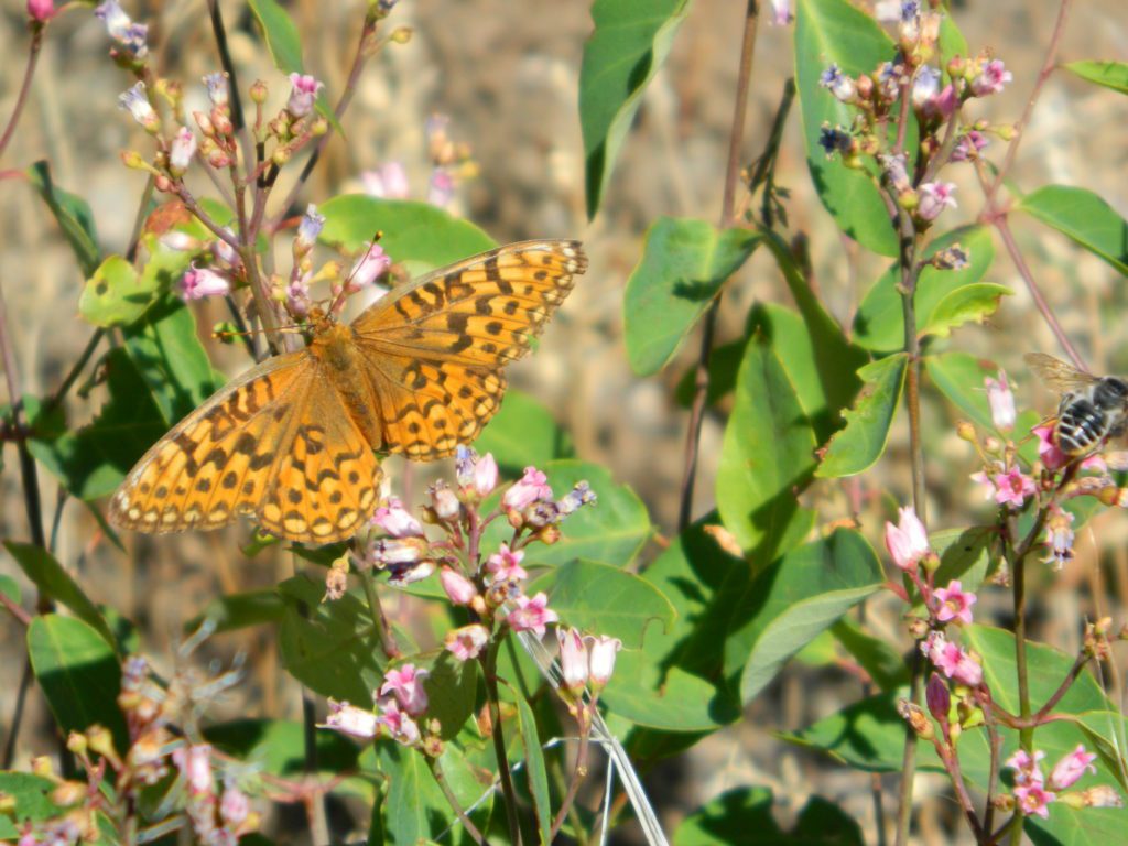
- wildflowers
- wildlife
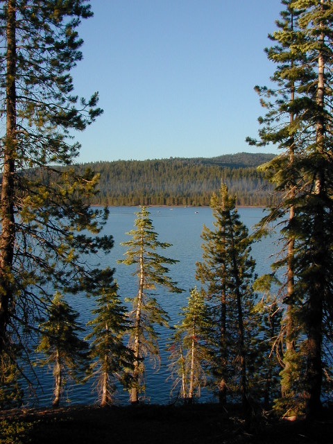
South Warner Lakes & Reservoirs 
- Clear Lake
- Patterson Lake
- Porter Reservoir (elev 6682′)
- West Valley Reservoir (elev 4761′)
- Blue Lake
- Sworinger Reservoir (elev 5868′)
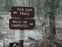
South Warner Trailheads 
- Summit North Trailhead (Road #31)
- Pine Creek Trailhead (Road #5)
- Mill Creek Trailhead (Road #40N24)
- Clear Lake Trailhead (Road #5)
- Summit South Trailhead (Road #64)

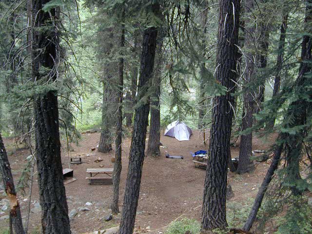
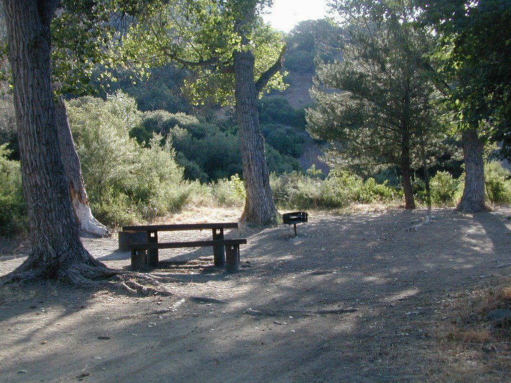
South Warner Campgrounds 
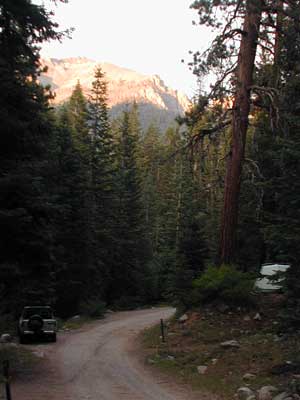
All these campgrounds listed can be accessed by a vehicle, most by narrow back roads (some dirt). If you prefer to drive on paved roads only, then you’ll need to choose Blue Lake or Mill Creek Falls. Deep snow closes forest roads and campgrounds are generally only open a few months per year, from May to October.
- Patterson Campground (Road #64)
- Blue Lake Campground (Road #64)
- Emerson Campground (Road #40N43)
- Mill Creek Falls Campground (Road #5)
- Soup Springs Campground (Road #40N24)
- Pepperdine Campground (Road #31)
South Warner Mountain Peaks
- Squaw Peak (elev 8646′)
- Warren Peak (elev 9710′)
- Dusenbury Peak (elev 9710′)
- Eagle Peak (elev 9892′)
- Cole Peak (elev 8970′)
- Emerson Peak (elev 8989′)
- Hat Mountain (elev 8737′)
- Red Rock Mountain (elev 8518′)

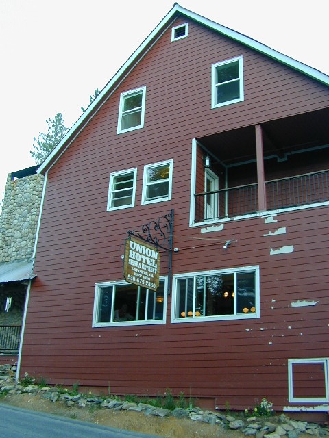
Wilderness permits can be obtained at local ranger station: ![]()
Modoc National Forest
225 West 8th Street
Alturas, CA 96101
530-233-5811
nearby towns –


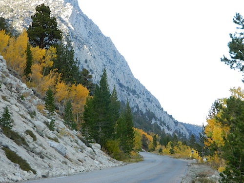
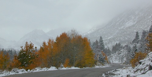
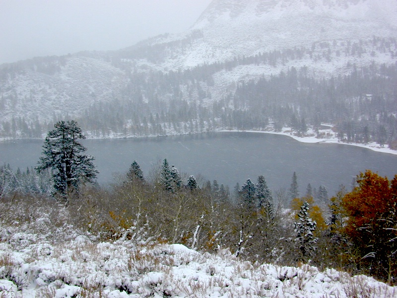
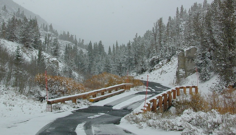
 12 NFS Campgrounds are located around Eastern Sierra Rock Creek Canyon. Elevations range from 7000′ at the highway, to over 10,000′ at a trailhead parking lot at the road’s end. Most of these developed campgrounds listed are only open a few months outta the year, due to winter snow closures (NOV-APRIL). On occasion, snow can still be on the roads until MAY.

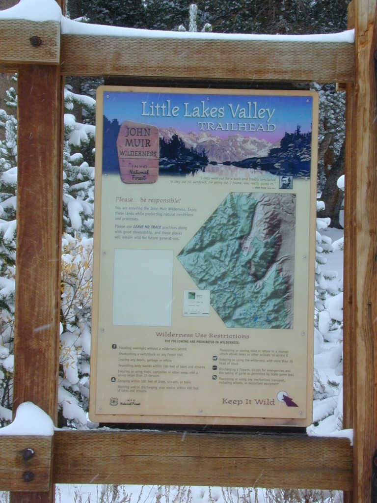
 Some maps may have this one listed as Little Lakes Campground, but that is just the official trailhead name.


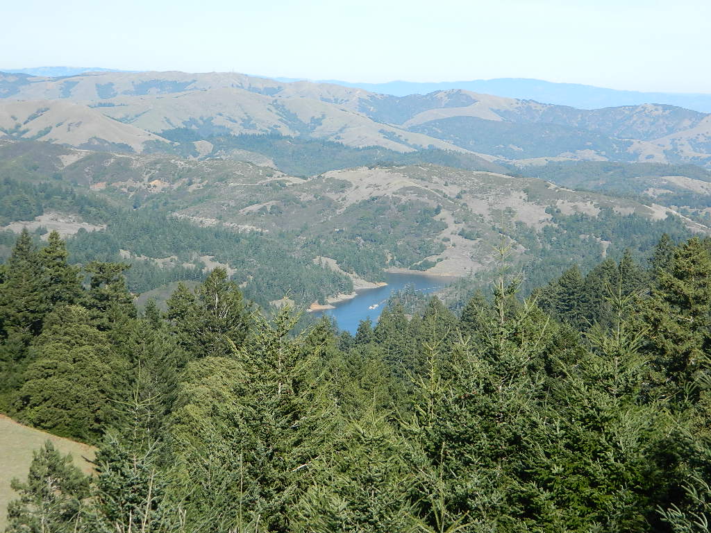


 California Terrain