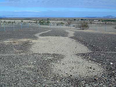
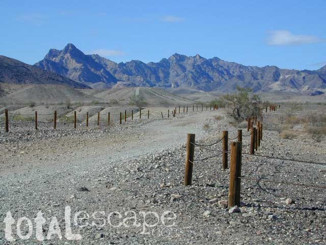
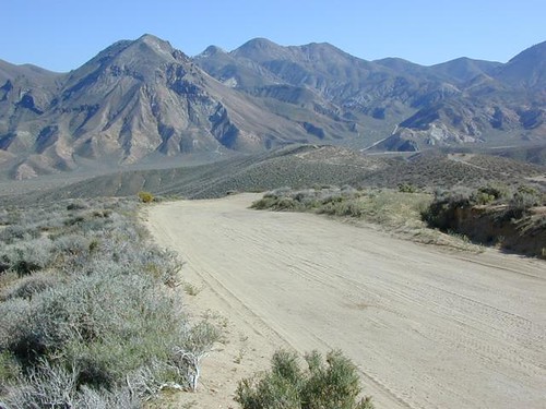
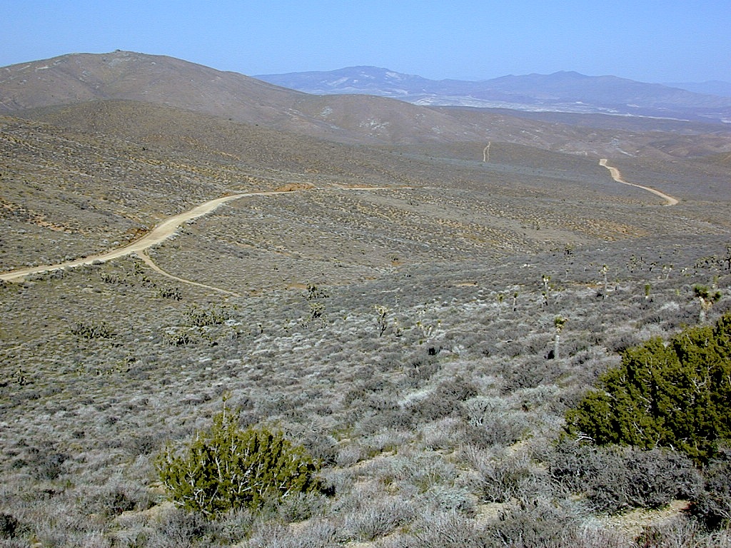
An avenue made of dirt, earthen highways, dirt trails, forest roads, fire roads, jeep road, graded roads. Dirt driving trails that lead into the middle of nowhere. No stop signs, no billboards, no stores, no one else around… for miles. Enjoy less crowds and more open space.
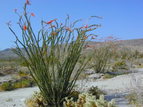
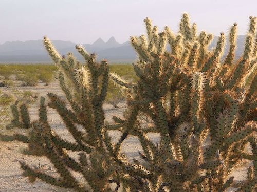
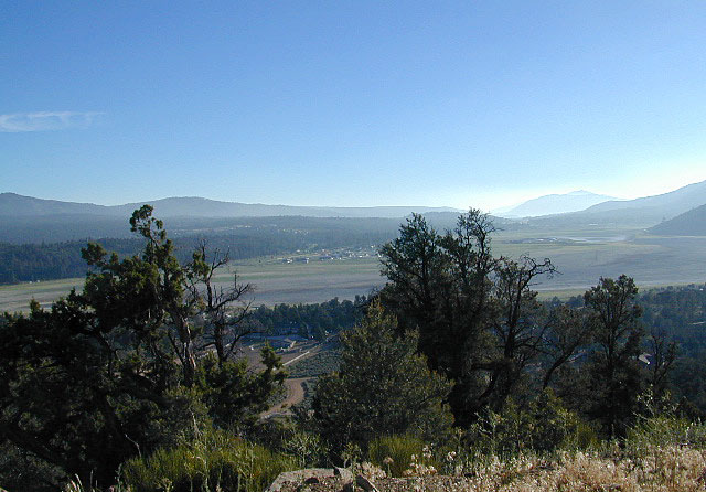
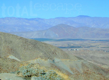
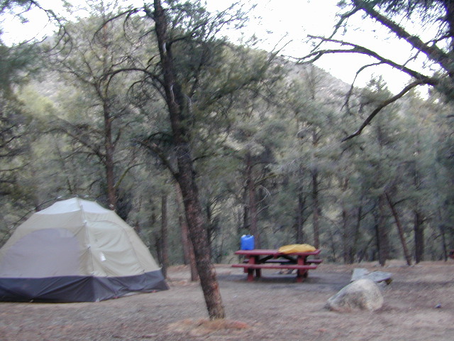
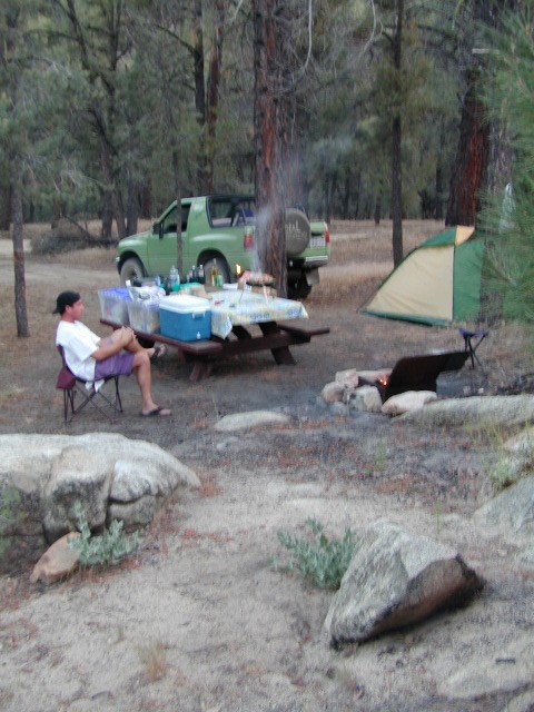
 If you are fed up with city life, sitting in traffic & need to vacate your mind among the barren hills of California (if only for a weekend), then Total Escape is your place. You seek solitude, peace, maybe a mini tailgate party & BBQ on a dry lake bed, with the heavenly stars above. Imagine the warm camp fire light reflecting off the high canyon walls, your music echoing, moonlight hikes for a few miles.
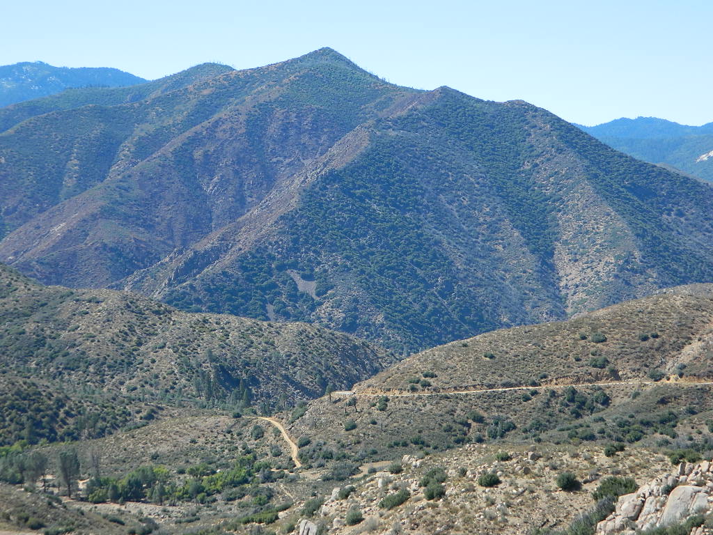
California has some awesome spots to drive on dirt, get way back in nature. Right up to the edge of the Wilderness boundary. That’s what this one silly “dirt street” page is all about… helping you get out there, the easiest & best way possible. We even got you the right maps!
Most of this is just dirt road driving, graded, some hills, easy stuff. But on occasion you might come across a 4×4 required sign – or perhaps a triple black diamond trail. Having several good maps on hand will help you enjoy these roads, instead of stressing & wondering if there is a lock gate at the other end – 18 miles in.
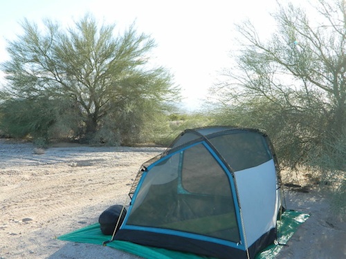
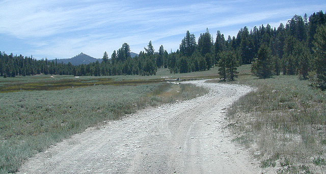
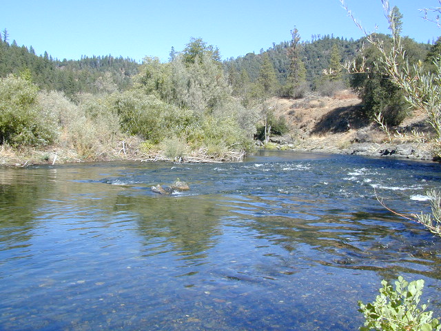
Some dirt streets lead to campgrounds, some to waterfalls, some to viewpoints, some have loop options & others are just dead end; sometimes at old mines. Get ready to explore with your truck or SUV. 2WD or low clearance vehicles (such as passenger cars) should be ready to turn back if the road get too nasty. Any decent precipitation can make any unpaved road much worse & may require 4 wheel drive, so have a plan B  or C as a backup idea.
Best off road areas & parks in California:
- Anza Borrego Desert State Park
- Anza Borrego 4×4 Trails
- Canon Sin Nombre Slot Canyons
- Old Kane Springs Road
- Split Mountain Anza Borrego
- Mason Valley Truck Trail
- BLM Mojave Desert
- Turtle Mountain Road
- Mojave National Preserve
- San Berdu National Forest
- Yellow Post Campsites
- Los Padres National Forest
- Hungry Valley Gorman
- Frazier Park Camping
- Dome Springs Campground
- Quatal Canyon #9N09
- Rock Front Ranch
- Driving on the Beach
- Red Rock State Park
- Jawbone Canyon
- Horse Canyon
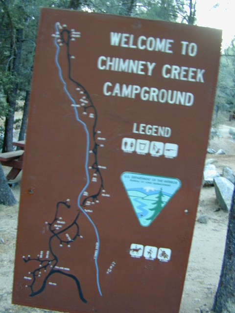
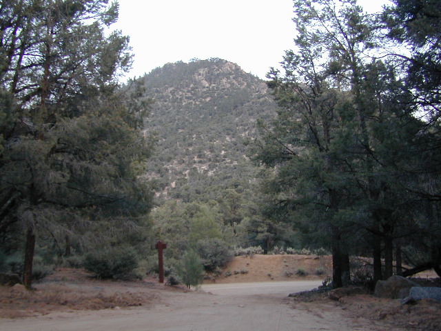
- Chimney Peak Backcountry Byway
- Sequoia NF OHV Routes
- Long Valley Campground
- Panamint Valley
- Death Valley National Park
- Hollister Hills
- Sierra National Forest
- Dinkey Creek – Dusy
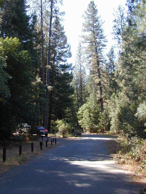
- El Dorado National Forest
- Stanislaus National Forest
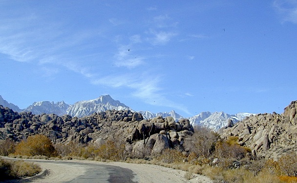
- Inyo National Forest
- Saline Valley Hot Springs
- Ancient Bristlecone Pine Forest
- Green Creek Road
- Canyon Creek Campground
- Sawmill Lake Camping
- The Lost Coast
- Lassen National Forest
- Modoc National Forest
- Klamath National Forest

Tooling around Goler Wash & Barker Ranch on the very edge of Death Valley