Lassen Back Roads
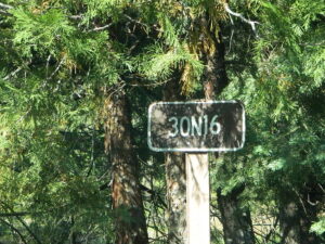
Lassen Rd #30N16 – Lassen National Forest
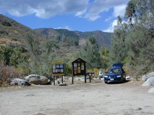
Nanny Creek / McGowan XC
E of Mineral, CA
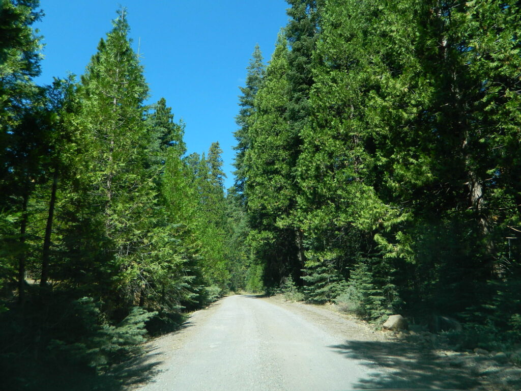
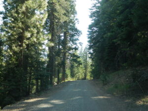
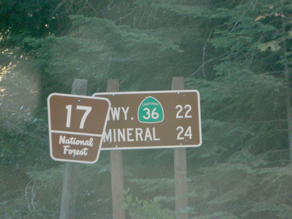
Narrow dirt road thru dense forest, connects Highway 36 to Lassen Route #29N22 (Dry Lake Trail) and then heads west to meet with Lassen Road 17 (aka #31N45)
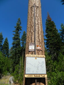
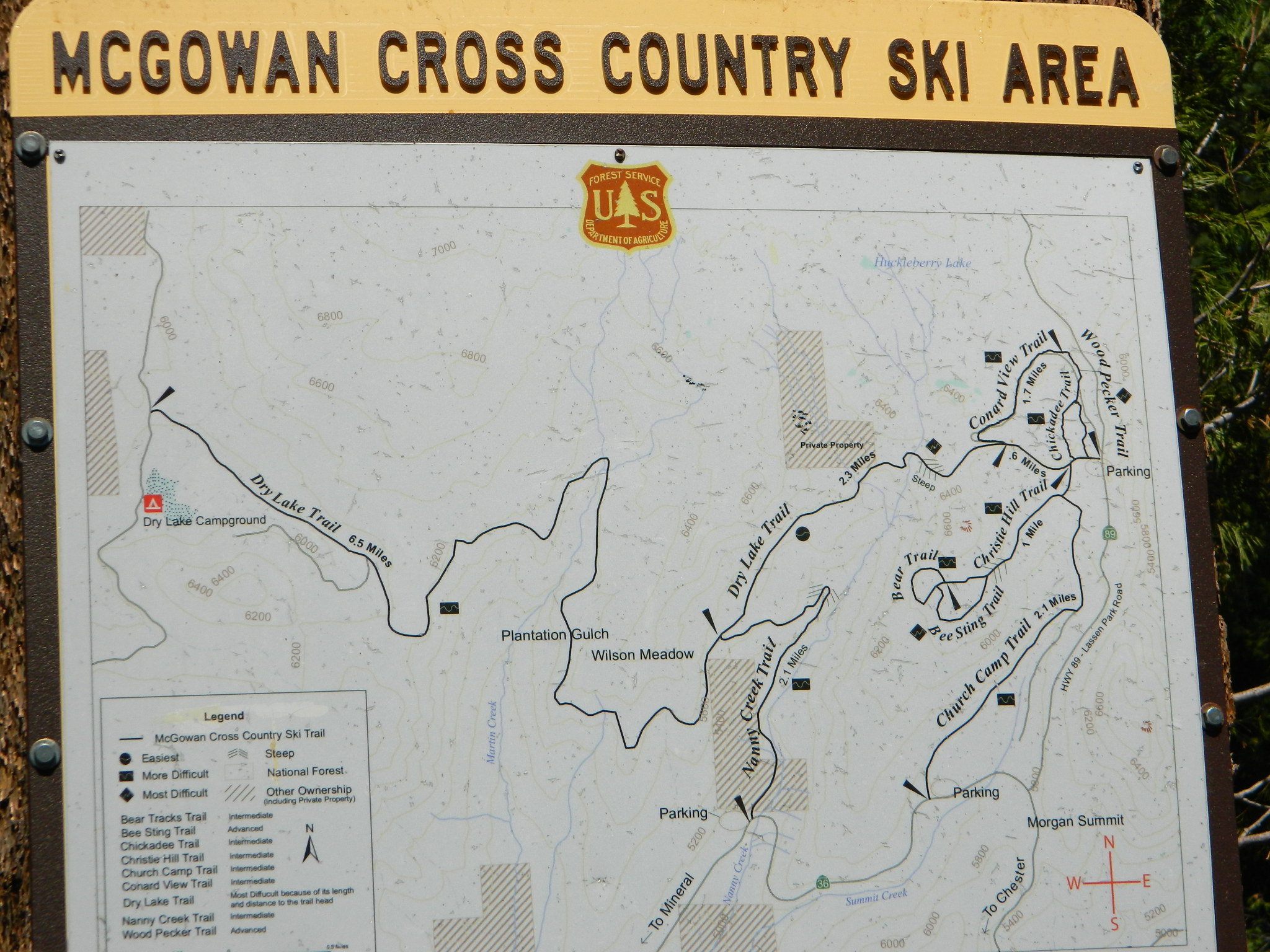
The McGowan Lake Cross-Country Ski Area has been in existence since 1982 and offers 10 miles of trails, 5 miles of which are periodically groomed.
Literally in the shadow of Lassen Peak, McGowan area trails wander through mixed conifer forest and are popular with beginning to advanced skiers. Elevations range from 5,020 to 6,200 feet. McGowan cross-country ski trails are closed to all motorized vehicles.
click to enlarge map
NOTE: No OHV riding, nor snowmobiling on this route!
WINTER – snow fall begins as early as November and lasts thru May. Road can be muddy in late spring.
SUMMER – this dirt road is accessible by automobiles during warmer months only and is not gated.
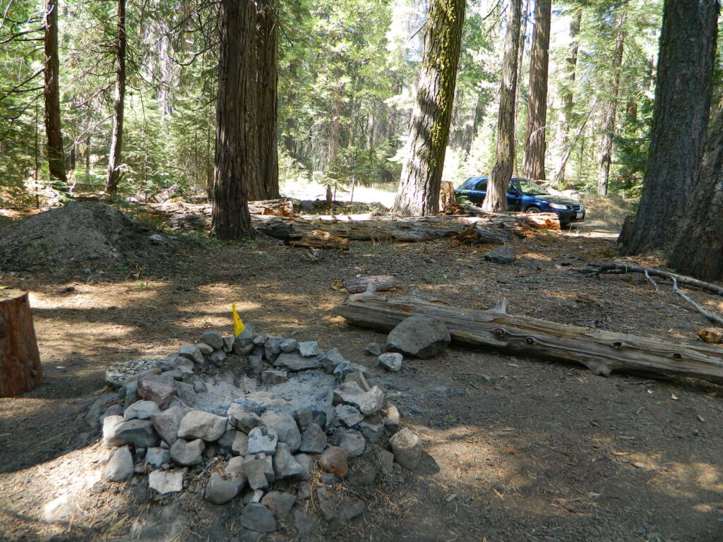
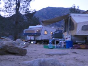
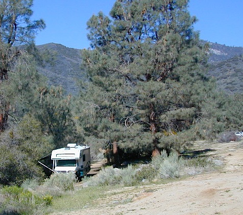
A few dispersed campsites along route 30N16, within the first mile from the pavement (Hwy 32). These precious few camps are usually in high demand during summer months! Head up hill a few more miles, deeper into the forest and find a real secluded site, dispersed style. Campfire Permits are always required for back country fires; found at nearest ranger station USFS in Mineral, CA
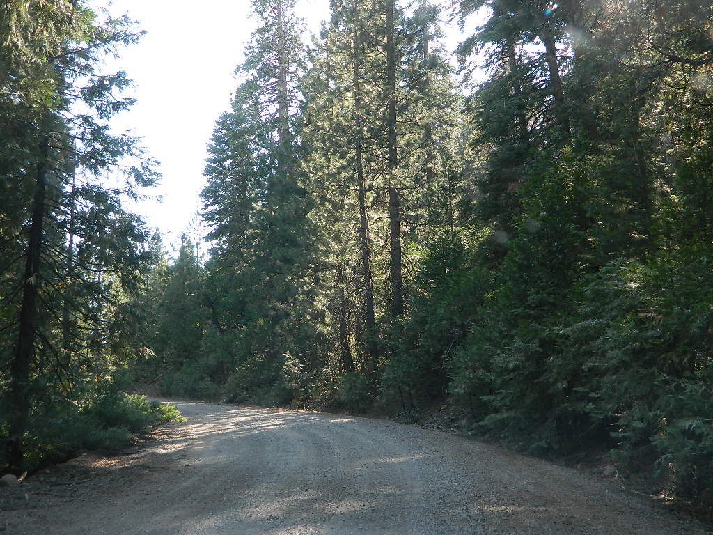
The first portion is a 2.1 mile long dirt road follows Nanny Creek about a mile, then it banks left, uphill to meet with 29N22. Sugar Pine Trailhead is located on this upper section of 30N16; a small wooden sign in a dense thicket can be seen on right side of road.
Junction with 29N22 #30N16 @ wide intersection w/ #29N22 – right turn for McGowan Lake, Christie Hill and the Volcanic National Park.
Road 30N16 continues westbound – Left turn for Heart Lake Trailhead, secluded boondock campsites and eventually, this dirt road ends @ Lassen Road 17 (#31N45) which is also a dirt road (and locally known as the Viola-Mineral Road), connecting Hwy 44 to Hwy 36.
DEEP SNOW can keep these dirt roads closed well into summer months, depending on the snow year. Keep this in mind when planning any early season recreation.
Broke Off Trail Lane intersects this 30N16 road right at the highway (36). It is the hard left that heads steeply up the rocky incline and skirts the highway headed west; Connects to the White Fir Lane road system above the small town of Mineral, CA.
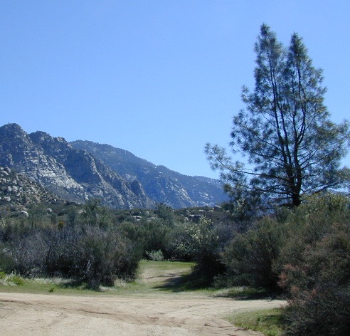
Interstate 8 EAST from SD / exit Ocotillo. SD county road # S2, the south end near the State Park boundary. Gorgeous every season but summer. Great winter camping close to SoCal.
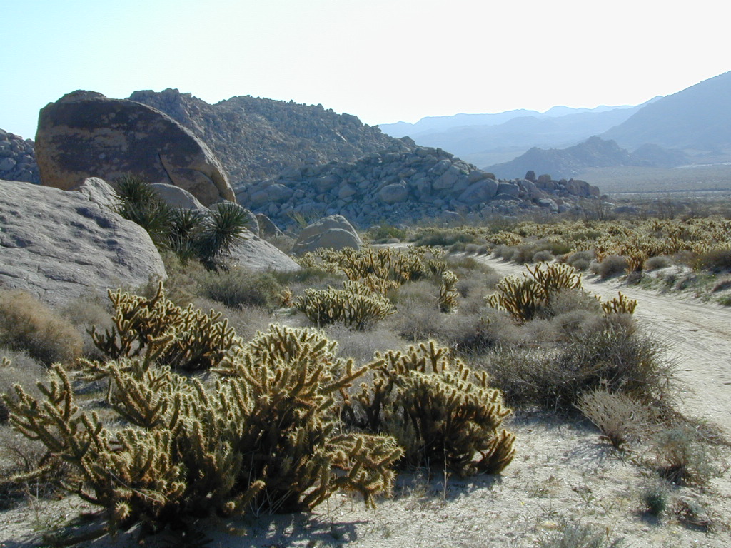
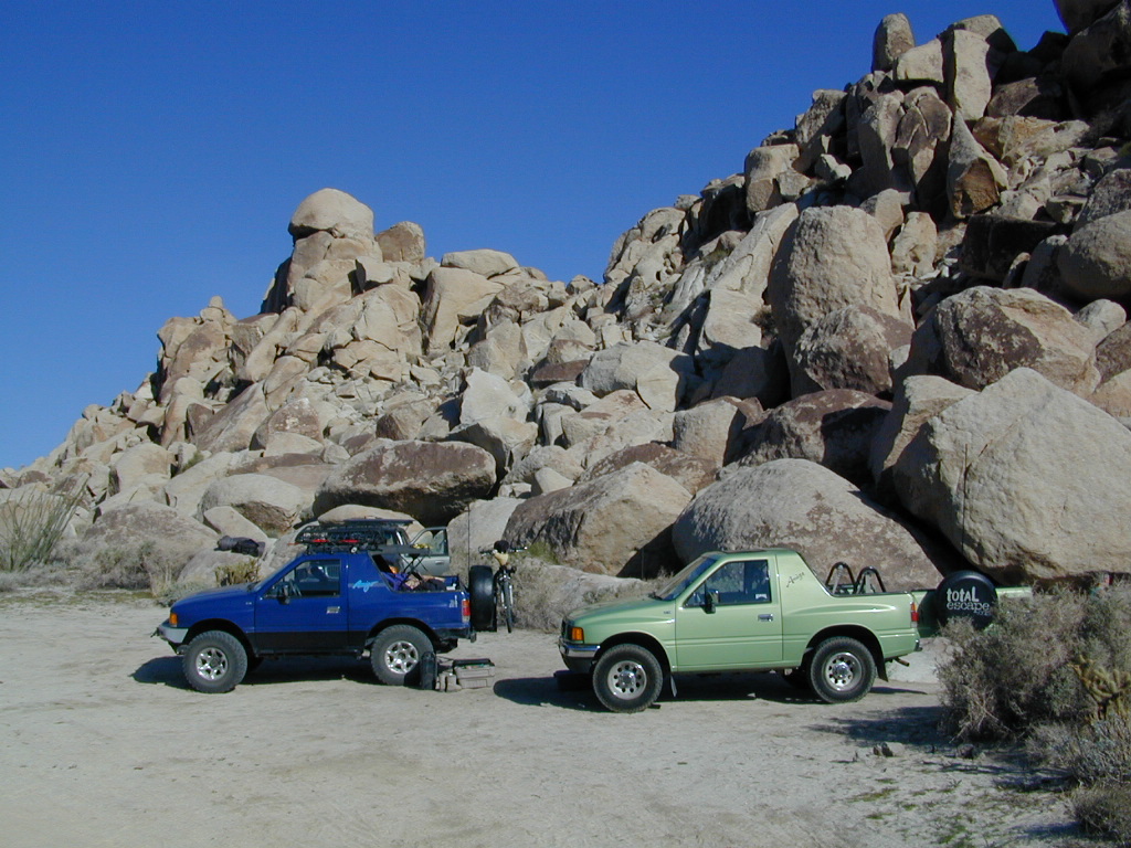
This dirt road is located in a desert wash area, which starts west – off the paved road S2. The signed white desert wash is a suitable drive for passenger cars (most years). But you best have 4×4 if the rain gets going good. Low riders should watch for the ridge lines – as they are naturally rockier places and could take out an oil pan of a mini SUV (at a high rate of speed).
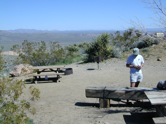
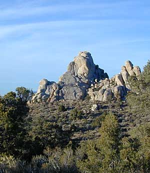
The giant boulders garden at the far end of this route have nice views of the Imperial desert floor. Better from the top of the boulders too; numerous primitive camp sites are tucked into the coves, surrounding the big boulders.
No toilets; no shade; no water; minimal vegetation. At night the stars are heavenly, but you can see city lights from Calexico and Mexicali.
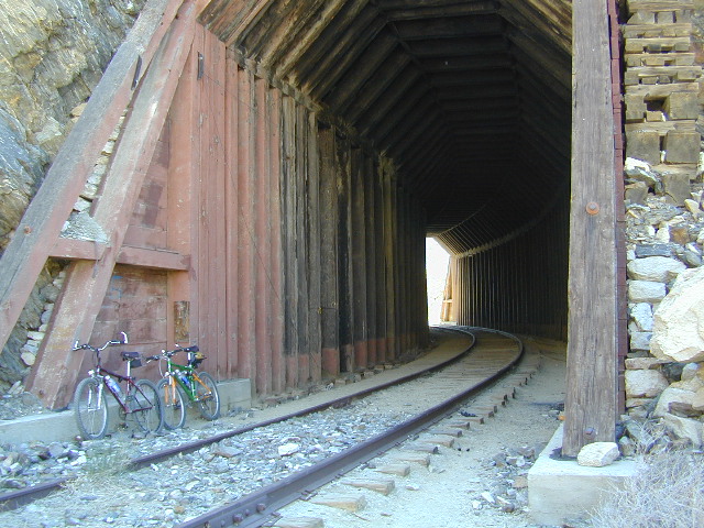
GOAT TRESTLE?
From this area you can hike or mountain bike up to the “old goat trestle” and numerous historic train tunnels @ Carrizo Gorge Goat Trestle (not to be confused w/ the wildflower destination called Carizo Plains in Kern Co). BRING A HARD COPY topographic MAP of this area, if you wish to explore past camp. Moderate hike, an all day adventure. Bring lunch and water!
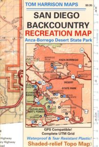
SAN DIEGO Backcountry Map
this waterproof map has the entire State Park covered with all back roads, trailheads, campgrounds and railroad tracks
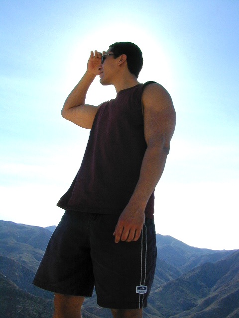
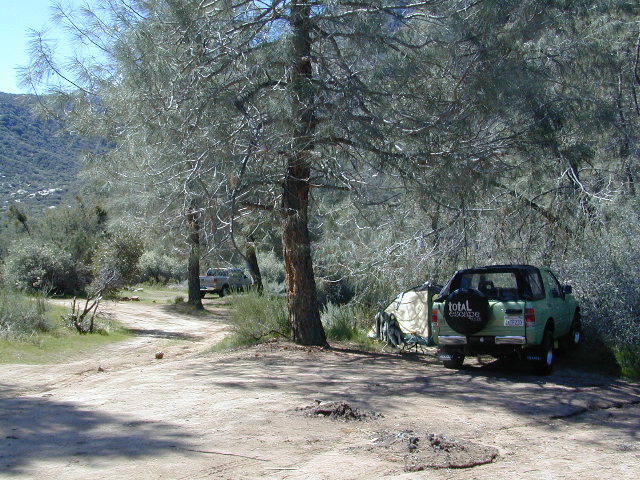
When you decide to stop the car, look around for the best spot. Park off the road way and preferably in a turn out or camp spot. Turn off the engine, get out of the automobile, stretch your legs, breathe, look, close your eyes – tight and breathe deeply, then open and look around you again. This particular place is special, you can just feel it. Walking around the boulder area, be cautious of snakes.
On the boulders – closely examine them, climb on them, get to the top; you will find (Native American) Indian grinding holes called mortars or morteros.
great side trip option: Across the paved road (SD County Road S2) on the opposite side of the valley is a nice hike to Sand Dollar Hill. (I’m sure this isn’t the real name). Dirt road leads up to a dirt parking area for hikers. Busy lil place sometimes. These desert dirt hills have wind caves and chunks of sand dollars scattered all over them. The real ocean floor way out here, east in the Anza SD desert… how cool is that?
great side trip option:Canon Sin Nombre is just up the road a piece, N on S2, on the EAST side of the road. Amazing viewpoint turn out, right on the highway, overlooking the impressive topography and badlands. If you have a high clearance SUV or any truck you can drive down into the sandy tight, rocky wash. It meets back up with another main wash way back there.
Tons to explore back here. Off roader should think Tread Lightly on this turf and primitive car campers should use a Leave No Trace approach. White sand, deep sand, caves, smoke trees, and the best slot canyon climbing & hiking this side of the Anza Borrego State Park.
The best free camping in California for RVs & motorhomes is NOT the WalMart parking lot in some random town, but the gems that you find here on Total Escape.
The California back roads is where it’s at. Star filled skies, fresh cedar scents & tall pines, plus the awesome views. Primitive camping at it’s best, with your kitchen sink. No hook-ups, no fees, no problem.
the back roads
So, if you are one of those that are terrified of driving your big luxury camper on dirt roads, these may not suit your taste. But if you crave the back country camps with your RV, then you might enjoy the list below.
Still many dispersed, primitive FREE camp sites to be found – but you’re not gonna find them on those big web sites, that everyone goes to.
no hookups, no paved stalls, no dump station
These are camping areas, that you can pull into anytime of the night or day & find a flat spot. Some places may have picnic tables or campfire rings, but not all. No OHV parks, no large developed campgrounds, just dispersed FREE camp sites on the back roads of Cali.
Plumas Road #24N29, off Bucks Lake Road
East of Bucks Lake, California.
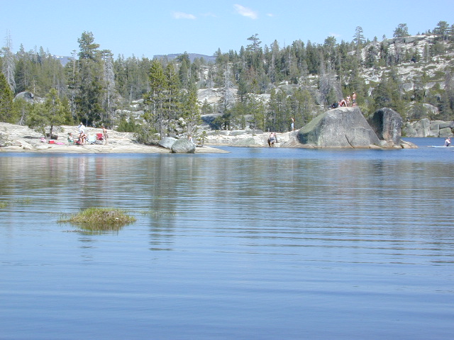
a six mile, one lane, dirt road is the only vehicle access into this high elevation, dammed reservoir, tucked back against the wilderness. Secluded lake campsites await, you’ll just need to get a little dusty first. The turn off, at a small brown sign reading “Silver Lake”, one which is very easy to miss – due to the amount of homes, cabins, fencing and driveways in the vicinity.
No swimming allowed at this Silver Lake, as it serves as a drinking water source for the neighborhoods below. Canoe & kayaking are allowed. Fishing is also popular at this location. Hiking trailheads at Silver Lake lead to the PCT (Pacific Crest Trail), Mount Pleasant, Spanish Peak and a small gem of a swimming hole, we call mini Gold Lake.
This small campground is actually set downhill from the rock earthen dam, which is something to ponder before/during a big earthquake. With sites 1-5 in a shady forest area and the others a bit closer to the lake, no campsite is too close to another. These are all well-spaced-out sites, providing decent privacy and minimal noise from neighboring campers. No campsites are located at the lake edge, as the rocky dam is a long structure and quite complex with water control measures.
All the campsites have new bear boxes for food storage, cuz ‘wilderness’ usually means black bears are roaming about. Deer tend to frequent campsites 1 & 2.
2020 update: overnight camping fees now charged at this campground
Silver Lake Campground NFS
• Elevation: 5800′
• Number of Sites: 9
• Vehicle Accessibility: RV 22′
• Campsite Reservations: No
• Camp Fee: Yes
• Toilet: Vault
• Water: No piped/potable
• Length of Stay: 14 Days
• Season: May – October
• Trailheads: PCT, Gold Lake, Rock Lake, Granite Gap, Bucks Lake Wilderness
As with most of the high elevation lakes in California, winter months can mean deep snow and dirt road closures. This campground is usually open through the end of October, but call head to the local rangers if in doubt.
Plumas National Forest
Mt. Hough Ranger District
39696 State Highway 70
Quincy, CA 95971
530-283-0555
This camp list is comprised of primitive camp sites and developed campgrounds with good views overlooking a large area (valley, town, canyon, desert, river, ocean). Many ideal spots may require dirt road driving, and a few might need a 4-wheel drive vehicle to reach.
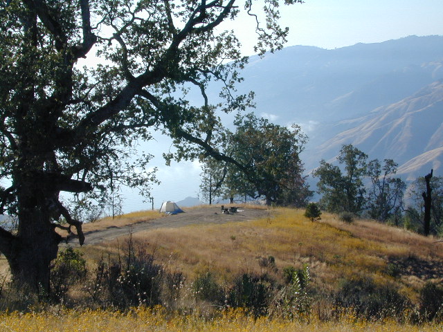
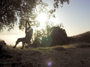
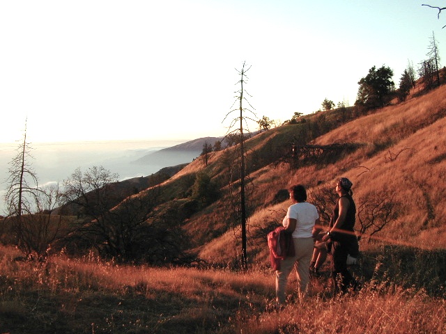
We were suggesting this very spot way back in 1999, well before anyone else was ‘blogging’ about it. This area is by far the best, free coastal camping on the Central Coastline of Big Sur. Dirt roads traverse 10 miles out to vacant ridges overlooking the Pacific, with steep hills down to the highway. Camp above the fog layer and above the crowds. Explore the beaches during the day, and camp above the traffic & crowds at night.
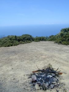
Dry brush is abundant on the mountains of Los Padres National Forest. Camp fire restrictions should be of utmost concern in this area, since wildfires burn here often. Camp fire permits are required for camping on the back roads, and much of the time camp fires are banned in this region. Call ahead to the rangers to find out the current conditions.
Two prime walk-in camp sites, on a shady point, high above a beach cove w/ scenic waterfall.
Called “environmental camps” these highly desirable spots need advanced reservations w/ fees many months in advance. Tables, fire rings and a vault toilet. Bare bones basics, but the ideal location is worth it. A forested cliff on the edge of the ocean, high above a secluded cove. This location a can get windy if a storm moves in (generally October – March).
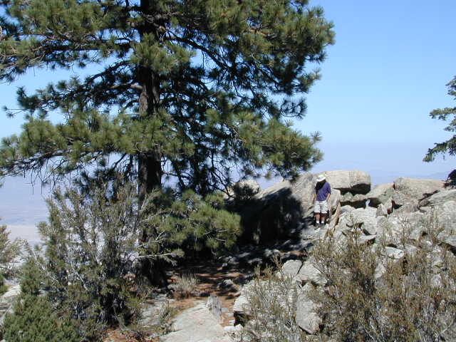
There are several primitive campsites off of M10 with views of chaparral and canyons. Just above Stonyford, CA, on the way up to Fouts Springs. Unfortunately Mendocino National Forest is may be closed for 2019 due Ranch Fire (wildfire 2018) w/ Snow Mountain Wilderness completely 100% burnt.
Planning more scouting of this region summer 2019. Stay tuned.
Angeles National Forest
Mount Pacifico Campground
Angeles Forest Highway
Lightning Point Group Campground
near Jackson Lake @ Hwy 2
San Berdu has more than a few trail camps for 4×4 enthusiasts. Weekends can be busy all year long. Snow usually closes some routes. Pine forest in southern California means very tight campfire restrictions. All yellow post camp sites include table and a fire ring. Campfire permits are required.
East ridge line, rocky, dusty, 4WD-only route, the John Bull Trail (near Holcomb Valley) has ONE real awesome view camp spot with great spans over the Mojave desert w/ smog and city lights @ night.
Culp Valley – boulders, primitive camps on dirt roads; better views off-road. Vault toilet. Few tables, no signs. Small campground at the highway is easy to find. Boulders and bouldering. Mountain biking and hiking. Wildflowers in spring.
Interstate 15 & I-40 Mojave Desert
Providence Mountains SRA @ Mitchell Cavern. Campground is perched on rocky hill overlooking desert.
Boulder Outcroppings w/ primitive camp spots, tucked back on one lane dirt roads, behind Mid Hills Campground. Mojave National Preserve
Coyote Flat @ Pinyon Boulders – 4×4 required, one primitive camp w/ great views overlooking the Owens Valley & peaks to the east. Coyote Flat has views toward the Sierra
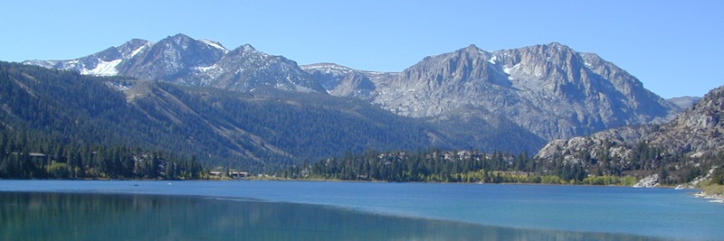
Oh! Ridge Campground Off the main highway 158, June Lake Loop
(148 sites @ 7600′ elev.) near June Lake, CA
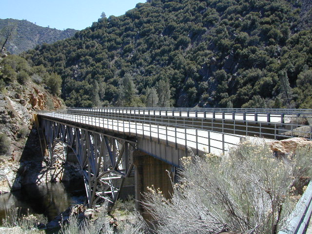
Located north of the small community of Riverkern and south of the Johnsondale Bridge, numerous flat camp spots adjacent to the rivers edge can be found.
Ant Canyon Dispersed Area Brush Creek Campground Calkins Flat Dispersed Area Chamise Flat Dispersed Area Chico Flat Campground Corral Creek Campground Springhill Dispersed Area
Kern River Road
Sierra Way in Kernville travels north along the Upper Kern River & becomes Mountain Hwy 99 – which eventually connects with the Western Divide Highway in Giant Sequoia National Monument.
Dispersed Camping Areas along the Kern River
Open Year Round! These FREE camp areas are called dispersed camping sites. No pavement, no picnic tables, no bathrooms, no piped water. Portable toilets & trash bins may be available in the busier summer months. Campfire permits are required for all campfires, BBQs, and camp stoves. Fire restrictions are common in extreme dry conditions. 14 day limit on camping.
Many flats are signed w/ small brown signs, while others are not. Some are actually flat and easy to access, while others are steep, eroded dirt trails unsuitable for RV travel.
Kelly’s Hole, overgrown, unknown, well-known or burnt beyond recognition? Roads End is no more.
Camp sites listed on this page are dispersed camping areas around the Kern River Area. Not all camp spots are listed, cuz many are unnamed. Bring your GPS to mark your favorite camp sites and you can arrive in the dark, late at night, anytime, (avoiding city traffic after work).
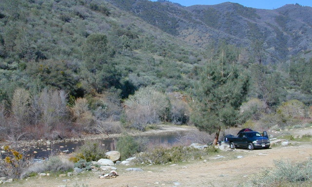
Several spots known as “dirt flats” are easy accessible right off the pavement of Sierra Way. Primitive river camping, fishing spots and raft launch areas north of town. Vault toilets might be available during busy summer months, but you’re on your own the remainder of the year. Bring a shovel and take a hike, away from the water flow. And if that sounds like too much work for a potty break, maybe you are not cut out for the primitive kinda camping style. No garbage service either: pack it in, pack it out.
Wildflowers are abundant in the Kern Canyon nearly every Spring season (April & May), which is a popular time to enjoy this region. Autumn brings minimal fall colors to this dry, desert mountainous landscape, but the fishing is decent at that time of year.
CAMPING OUTSIDE OF CAMPGROUND means you must obtain a free fire permit from the local rangers. Sometimes these dispersed spots are fire-safe areas, and you are allowed to have camp fires. Other times campfire restrictions are in place w/ wildfire dangers too extreme and no fires are allowed, anywhere. (Not even inside a developed campground!)
WILDERNESS NOTE: The USDA National Forests web site states that “Camping and campfires within 25 feet of the water’s edge is prohibited due to the Wild and Scenic Designation”, but that doesn’t seem to stop some from setting up right on the fragile rivers edge. Doubtful that this rule is being enforced by the rangers, but consider yourself warned unless they start to get serious about this restriction. Many believe that the free camping along the Kern river is destroying it, so don’t be surprised if these areas get closed or barriers placed at the flats.
Caulkins FLAT has some new boulder barriers put in place which prevent cars from reaching certain ideal camp spots (right at the waters edge). Tough luck. Now we have to hike more.
Upper Kern River North of Kernville, CA
all camps below listed from south to north
ALL CAPS = developed campgrounds managed by US Forest Service, w/ links to Kern River Campgrounds.
Ant Canyon
Just north of Goldledge Campground, along the Upper Kern River.
South of Salmon Creek; Hike to Salmon Creek Falls.
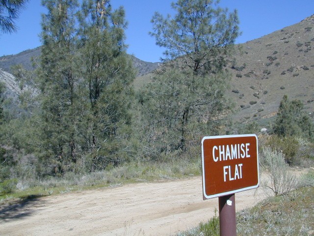
Chamise Flat
12 miles north of Kernville, CA
This camping bluff could be the most forested of all the ‘kern flat’ camping areas, but river is a short hike down a very steep cliff. Fishing is excellent in this stretch.
Calkins Flat
15 miles north of Kernville, along the Upper Kern River. Just south of Fairview (McNalley’s). Sign at the location reads a different spelling of “Caulkins Flat”. Kayak and rafting put-in spot. One of the best sites for large groups. Area is also known as simply “Lower Campground” on GoogleMap.
Brush Creek
3600′ elev
Just south of Sherman’s Pass Road turnoff. This place also serves as a Day Use Area, where Brush Creek meets the Kern. Kayaking put in spot. Popular fishing area. Large open dirt parking lot with a vault toilet.
Lower Kern River Southwest of Kernville, CA
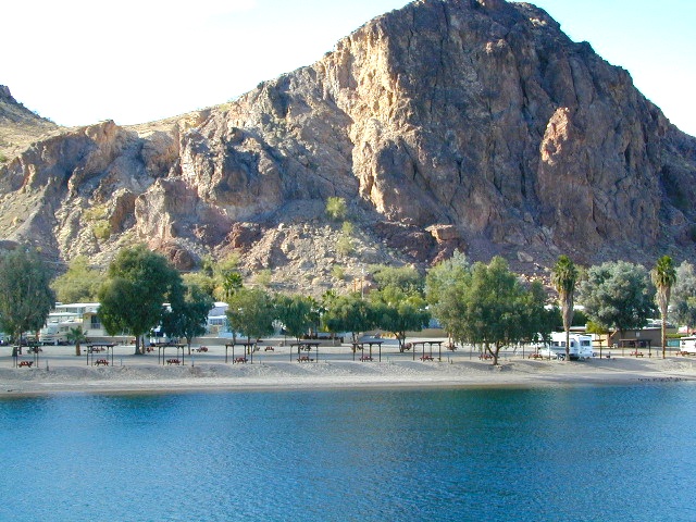
Lake Isabella has some shoreline camping with wide open access to the lake. Paradise Cove perhaps?
Historic Keyesville – “off-roaders camping paradise” along the river, but no swimming is allowed due to the extremely dangerous section of river. OHV trails lead (west) down river for many miles. Dirt bikes love the rugged boulder-scapes and steep hills. FREE camping; BLM Kern.
SANDY FLAT CAMPGROUND (NFS) – Open all year long! Terraced & paved hillside with numerous camp sites and plenty of room to spread out. RV campers like this location, due to the proximity to Hwy 178. elev 2300
Remington Hot Springs can be a zoo at times w/ the amount of people who love to stop here. A busy dirt parking lot, right across from the Remington trailhead sign. Many vehicles park here daily for day hikes, hot springs, fishing – and people also like to camp out, although camp sites are on slopes (not ideal), only a few and they fill up fast (before sunset).
Total Escape TIP: The very best camps at Remington are actually the ones you hafta hike down to. Less than a half mile down to the rivers edge to find a private mini beach. Pack light and arrive prepared to walk several miles (back & forth, several times).
Old Kern Canyon Road parallels Sierra Highway 178 and sits well above the river, so any flat spots you find will have great views w/ minimal river access.
Lower Kern River has very limited camping options.
Horse Canyon is a dirt road up a high desert canyon, with joshua trees and wash outs. 7000′ elevation pinyon pine ridges above w/ PCT.
Most would say the see a whole-lotta-nothingness out here in these deserts…. when they zoom by at 70 mph on the blacktop highway.
at Total Escape, we beg to differ.
Intersection on Hwy 14 @ SC 65, dirt route will travel west into the mountains. Initial desert road follows Little Dixie Wash, but veers north up to Horse Canyon and the higher forested ridges.
Horse Cyn is a scenic, desert, dirt road that becomes a rugged 4×4 trail the higher it climbs in the canyon. The route traverses a ridge line and dead ends at the old cabin; No through route, no loop. The PCT continues on to the Walker Pass @ the 178.
The lower Horse Canyon is area quite accessible by standard truck or SUV. High clearance is recommended out on these kinda roads. Vegetation is quite sparse at first, but improves with the miles traveled. Wildflowers can be awesome, usually April-June. Picnic spots everywhere; primitive camping sites can be found out here, off the main dirt road. Please reuse existing camp sites when possible.
Passenger cars may attempt this, but should watch for unexpected deep dips and rocks, washed out in the road. (No tow service in the middle of nowhere). Road conditions do change with the seasons out in the boonies. Cell phone reception could be spotty back in the deepest of canyons.
PCT trail access: Pacific Crest Trail follows this ridge road for miles. They call this range the SCODIE Mountains; Old cabin at the end of the road.
Sage Canyon and Cow Heaven Canyon are both to the north, along with Freeman Canyon (CA SR 178). Bird Spring and Dove Spring Canyons are both to the south, along with the most popular regions of Red Rock State Park and the Jawbone OHV area.


 The best free camping in California for RVs & motorhomes is NOT the WalMart parking lot in some random town, but the gems that you find here on Total Escape.


 Mitchell Cavern. Campground is perched on rocky hill overlooking desert.
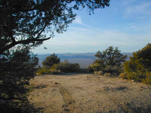


 WILDERNESS NOTE: The USDA National Forests web site states that “Camping and campfires within 25 feet of the water’s edge is prohibited due to the Wild and Scenic Designation”, but that doesn’t seem to stop some from setting up right on the fragile rivers edge. Doubtful that this rule is being enforced by the rangers, but consider yourself warned unless they start to get serious about this restriction. Many believe that the free camping along the Kern river is destroying it, so don’t be surprised if these areas get closed or barriers placed at the flats.
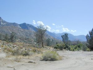


