Kane Spring California
Old Kane Spring Road parallels California SR Highway 78 a few miles from Ocotillo Wells, in east Anza Borrego Desert. A graded dirt road that can often gets sandy and you might need to keep you speed up certain soft spots. A few dead end canyons lead southward; hidden camp sites can be found out this way if you have the time to look. Harper Canyon, perhaps. See below for more on camp sites.

Anza Borrego Desert State Park Map
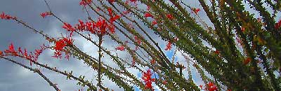
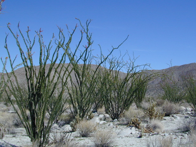
Spring Wildflowers can be quite spectacular out along this desert trail. Towering red-tipped ocotillo in some canyons serve as great backdrops to a perfect picnic lunch.
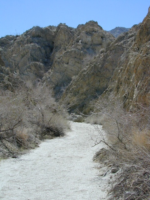
The Kane dirt route peels off the highway about a mile east of an area known as The Narrows. Marked on the highway as a small hiking trail, the highway curves at a narrow section of the canyon, as San Felipe Creek wash carves its way through the harsh landscape.
![]() The best primitive camping in this area is actually west of The Narrows. You might need a high clearance vehicle to reach some spots and a good map with the creek/wash names. Make sure to look for these –
The best primitive camping in this area is actually west of The Narrows. You might need a high clearance vehicle to reach some spots and a good map with the creek/wash names. Make sure to look for these – 
- Nolina Wash
- Pinyon Wash
- Quartz Vein Wash

On the opposite the highway is Ocotillo Wells SVRA, where off road enthusiasts can get their kicks. Wind caves can be found in Butte Canyon, where the 4×4 trails abound. Kane Springs intersects Split Mountain Road. The Elephant Trees, Split Mountain and more wind caves are south of the railroad tracks.