Tag Archives: calif

California Camping River

map river | hiking river | map gorge

California Rivers & River Topo Maps
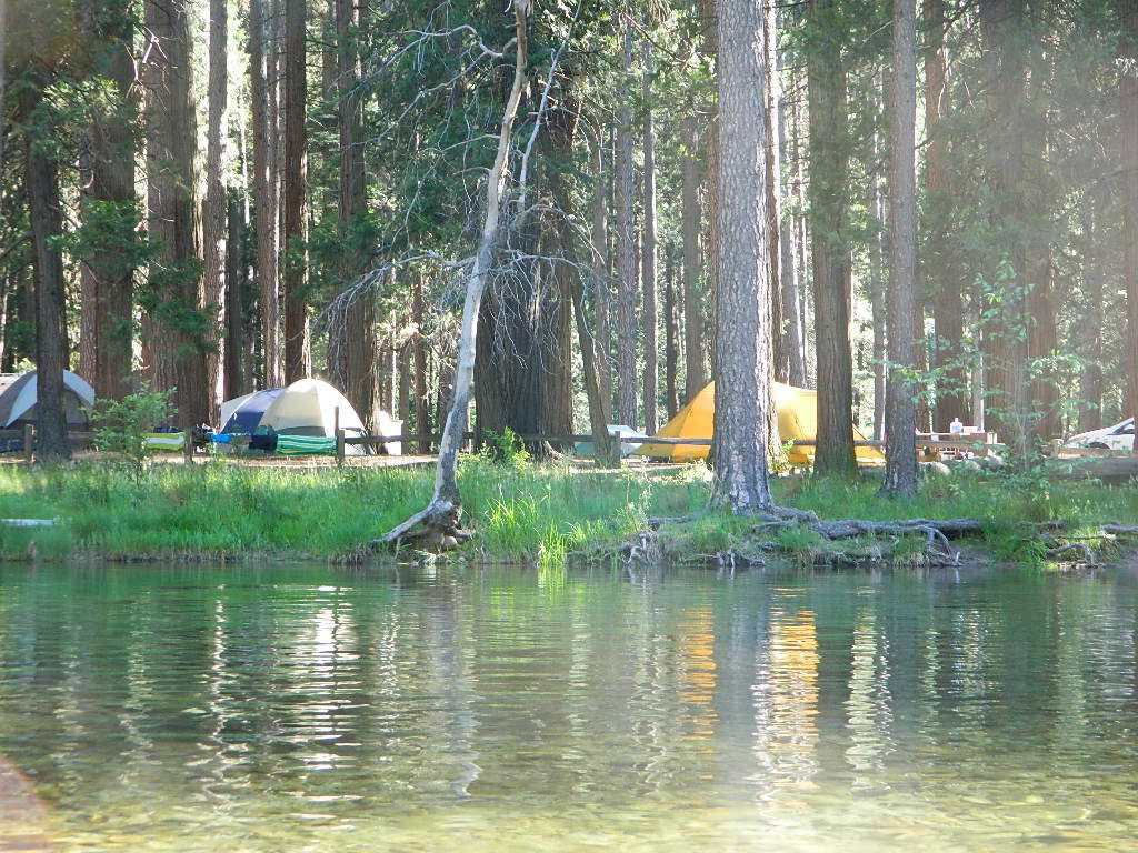
Tent Camp Yosemite Valley

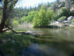
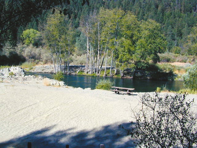
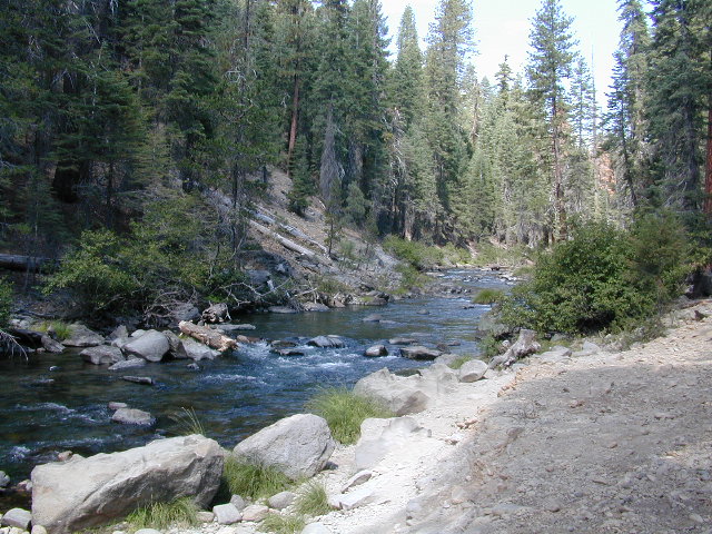
There are many gorgeous rivers in California that are perfect for camping and fishing, but none are located in Southern California. None! Yep, you read that right. If you think about it, the golden state is about half desert! The majority of our natural water in our state is coming from the north – so take this as a warning: you might need to drive a few hours to find your ideal river camp.

The easy-to-access waterways are found mostly along highways in the Sierra Nevada – or way up in NorCal. Deep granite gorges carved out by glaciers, surrounded by forested peaks is only half the appeal. High elevation lakes, waterfalls, big trees, abundant wildlife, and the alpine villages are all part of the Sierra Nevada experience.  Raft, kayak, fly fish, hike, bike or just camp out next to a big, rushing, flowing river. Our selection of California maps will get you narrowed down to a specific region, so you can find that perfect river campground, or explore and discover the back roads – for the most seclusion.

NorCal Rivers:
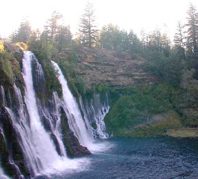
Burney Falls
Burney Falls, is part of the Pit River

EEL RIVER
KLAMATH RIVER
Klamath NF Map
MAD RIVER – NFS Campground
MATTOLE RIVER
McCLOUD RIVER

NAPA RIVER
NAVARRO RIVER
NEW RIVER
NOYO RIVER
PIT RIVER
RUSSIAN RIVER
SACRAMENTO RIVER CAMPING
SALMON RIVER
6 RIVERS NATIONAL FOREST MAP
SMITH RIVER
TRINITY RIVER
VAN DUZEN RIVER
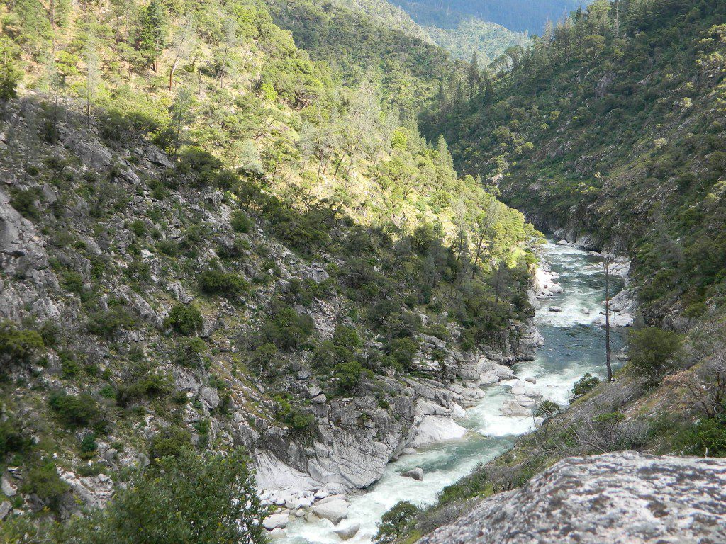
MiddleForkFeather
Middle Fork of Feather River, Berry Creek, CA

Sierra Nevada Rivers:

AMERICAN RIVER
AMERICAN RIVER – El Dorado NF Map
CONSUMNES RIVER – Stanislaus NF Map

FEATHER RIVER
FEATHER RIVER Recreation Map
FEATHER RIVER – Plumas NF Map
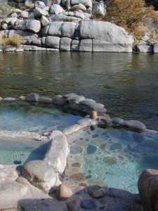
Kern River Hot Tub
Kern River Hot Tub

KAWEAH RIVER – Sequoia
KERN RIVER CAMPING
KERN RIVER – Sequoia
KINGS RIVER California
KINGS RIVER CAMPING
KINGS RIVER – Sequoia Kings Canyon Map
KINGS CANYON NP
MERCED RIVER – Sierra
MERCED RIVER – Yosemite Map
MOKELUMNE RIVER – El Dorado NF Map
OWENS RIVER – Inyo NF Map
SAN JOAQUIN RIVER – Sierra
SOUTH YUBA RIVER Recreation Map
STANISLAUS RIVER – Sonora Pass
STANISLAUS RIVER – Stanislaus NF Map
SUSAN RIVER – Lassen
TULE RIVER – Sequoia

YUBA RIVER – North Gold Country
YUBA RIVER – Tahoe NF Map

Central Coast Rivers:

BIG SUR RIVER
SALINAS RIVER

SoCal Rivers:

COLORADO RIVER CAMPING
Colorado River Jet Ski
LAKE HAVASU
LAKE MEAD (NV) Recreation Map
LAKE MOHAVE

SANTA YNEZ RIVER @ Lake Cachuma – Santa Barbara Mountains
SESPE RIVER – more creek than river, Los Padres NF & SESPE WILDERNESS
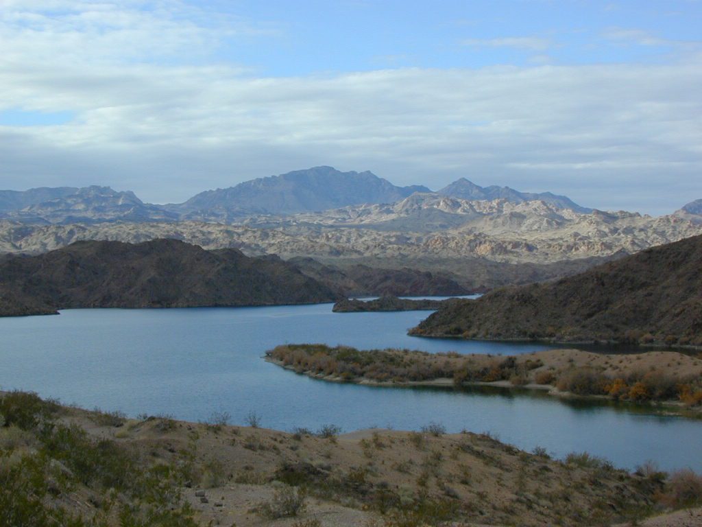
Colorado River California


LOCAL TIPS
River Destinations in California

califrepublic

calmrivers
Lower Kern River – Calm but Dangerous

KERN RIVER: The Kern River is one of the most popular of all the Sierra rivers due to its proximity to SoCal. Hurried, stressed-out, Angelinos (LA) can be at this destination in under 3 hours – which makes it a very busy place most months.

So, let it be told, that summer is not the best time to enjoy the Kern. If you do plan a summer outting, make sure you head for the Upper Kern (10+ mi N of Kernville & Lake Isabella) or the North Fork of the Kern (out in Monache Meadows) where 4×4 is often needed.

The Lower Kern River has only 2 developed campgrounds: Hobo (closed for damage 2019) and Sandy Flat (open all year). Numerous primitive camp spots are available along Old Kern Canyon Rd, which parallels the Hwy 178 on the south side. None of which are located at the rivers edges. Remington Hot Springs is a popular spot for soaking. Fishing trails, mountain biking trails and hiking trails, all over. Fire danger is great in this area, so pay extra close attention to signs and fire restrictions.

Kern River above Lake Isabella and Kernville is a better choice for camping availability.
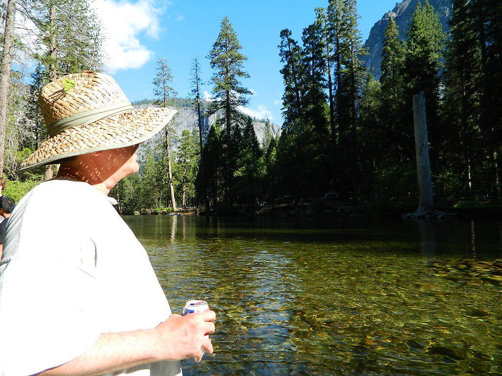
Beer at River

YOSEMITE RIVER: Yosemite National Park –
Merced River & Tuolumne River

NPSEverybody loves Yosemite! This is the most popular park in the whole state; maybe the whole nation.

The majority of campers want to stay “right on the river” when they visit Yosemite NP, but that is just plain old impossible, since reservations go fast and there is only so much room for everyone in this enclosed, narrow, precious valley.

This particular park has some major floods (1997 & 2005) that wiped out bridges, road ways; all the old wooden cabins (at Yosemite Lodge) are gone and only half of the campgrounds are still available. Yosemite has had 11 winter floods since 1916 that have caused substantial damage to property. That number is expected to increase, as winter precipitation is getting less predictable.

Reservations are taken for camping and cabins – far in advance; like one year. No joke!

3 Yosemite Campgrounds are located next to the Merced River (inside spectacular Yosemite Valley)

hikehike

Way up in the Yosemite high country, which is only open a few months outta the year, the beautiful Tuolumne Meadows Campground is located next to lush meadows and the scenic Tuolumne River. All Yosemite campsites must be reserved well in advance, so visit links above – if you are serious about a Yosemite camping trip anytime soon.

check

Mokelumne

MOKELUMNE RIVER: Way up the road, deep in the western Sierra, Gold Country. Small NFS campgrounds, right on the river; Access is long, narrow paved, switch-back road, not suitable for RVs or trailers.

STANISLAUS RIVER: The Sonora Pass, the fishing is very decent way back in this granite gorge. Highway 108 is only open a few months outta the year, due to deep snow & rock slides – so time is of the essence. Summer time is prime vacation weather up here. Several campgrounds are located right on the river, or on the major feeder streams. Or you can opt for secluded primitive camping on the back roads. Find Sonora camping in Stanislaus National Forest.

YUBA RIVER: The biggest play time river in the northern Gold Country, this runs along Hwy 49 near Downieville and also has a major South Fork for the best swimming holes and primitive camping in this region. Tubing, rafting, kayaking, fishing, camping, gold panning, you name it, Yuba has it. Look for more on the South Yuba Recreation Map, or the USDA issued Tahoe National Forest Map

FEATHER RIVER: Top fishing river in the Lassen to Oroville area. Chester and Lake Almanor in the upper reaches. High Bridge Campground is nice paved-camp-site camping; a forested spot where you can fish 2 rivers on the same day. A Plumas NF or Lassen NF map would be quite helpful for this region. Lower down the mountain, lower Feather Rivers which include all 4 forks which feed Lake Oroville – West Fork (Paradise, CA), North Fork, Middle Fork Feather, (Berry Creek, CA) and the South Fork (Lumpkin). Lots of waterways and creeks worth exploring in between Chico and the mountain town of Quincy.

KINGS RIVER: This one particular river is the longest in the Sierra Nevada mountain range, pulling snow melt from the upper reaches of the High Country and Mount Whitney. The river area just to the West of the National Park, over to Pine Flat Reservoir, is all prime for outdoor recreation. Several river rafting companies work this stretch of river.

CAMP FOUR & A HALF CABIN RENTAL
NFS KINGS RIVER
NFSrangers

hikehike

Kings River Rafters

River Beach Campground
Trinity River Camping, Douglas City, CA
riverrunsclear
Sierra Nevada Rivers are the dreams that Summers are made of.


Old Hometown Fair

Manhattan Beach 10K race,

Manhattan Beach 10k

Manhattan Beach Hometown Fair

MBFair

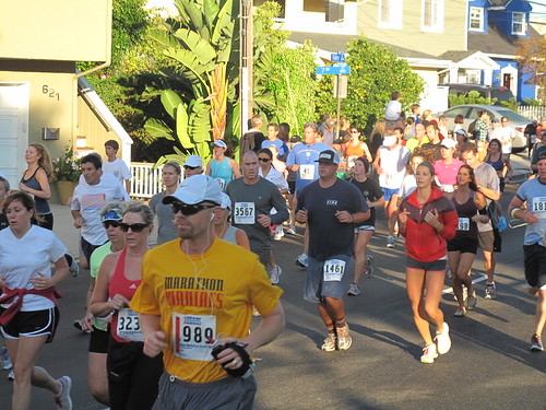
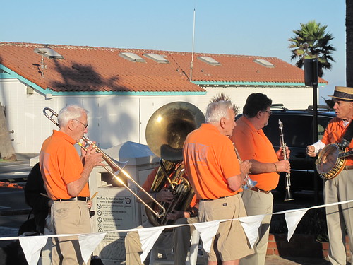
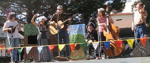
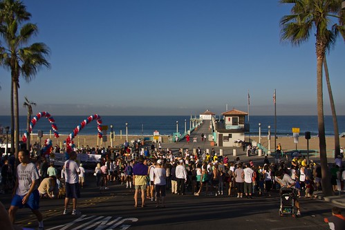
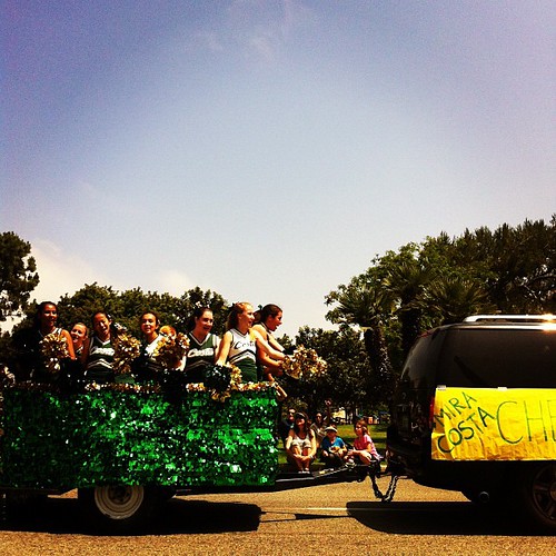
Manhattan Beach Fair is every October & a great day to go out to the beaches of Los Angles County. Weekend festivities begins with a 10k race and a parade. Music, vendor booths, art exhibits, food & wine/beer.

This Los Angles county beach destination has been doing this event for 45+ years! Since this is LA and parking is horrible, shuttles are available from Aviation Avenue.

Annual event; October

MANHATTAN BEACH CA

mbfair.org

mb10k.com

Hyperion Outfall Band

The Hollow Trees

Manhattan Beach Hometown 10k Run 2009

Hometown Cheer.

Silver Lake @ Bucks

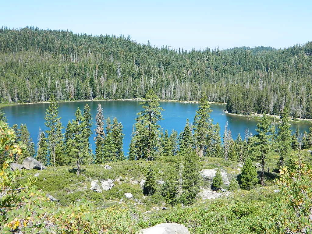
Silver Lake from Above

Silver Lake @ Bucks Lake Wilderness

(Plumas Co)

Plumas Road #24N29, off Bucks Lake Road
East of Bucks Lake, California.
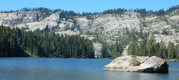
a six mile, one lane, dirt road is the only vehicle access into this high elevation, dammed reservoir, tucked back against the wilderness. Secluded lake campsites await, you’ll just need to get a little dusty first. The turn off, at a small brown sign reading “Silver Lake”, one which is very easy to miss – due to the amount of homes, cabins, fencing and driveways in the vicinity.

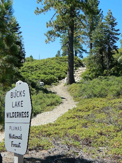
bucks trailhead

Bucks Lake Wilderness
Plumas National Forest

All Bucks Lake Campgrounds

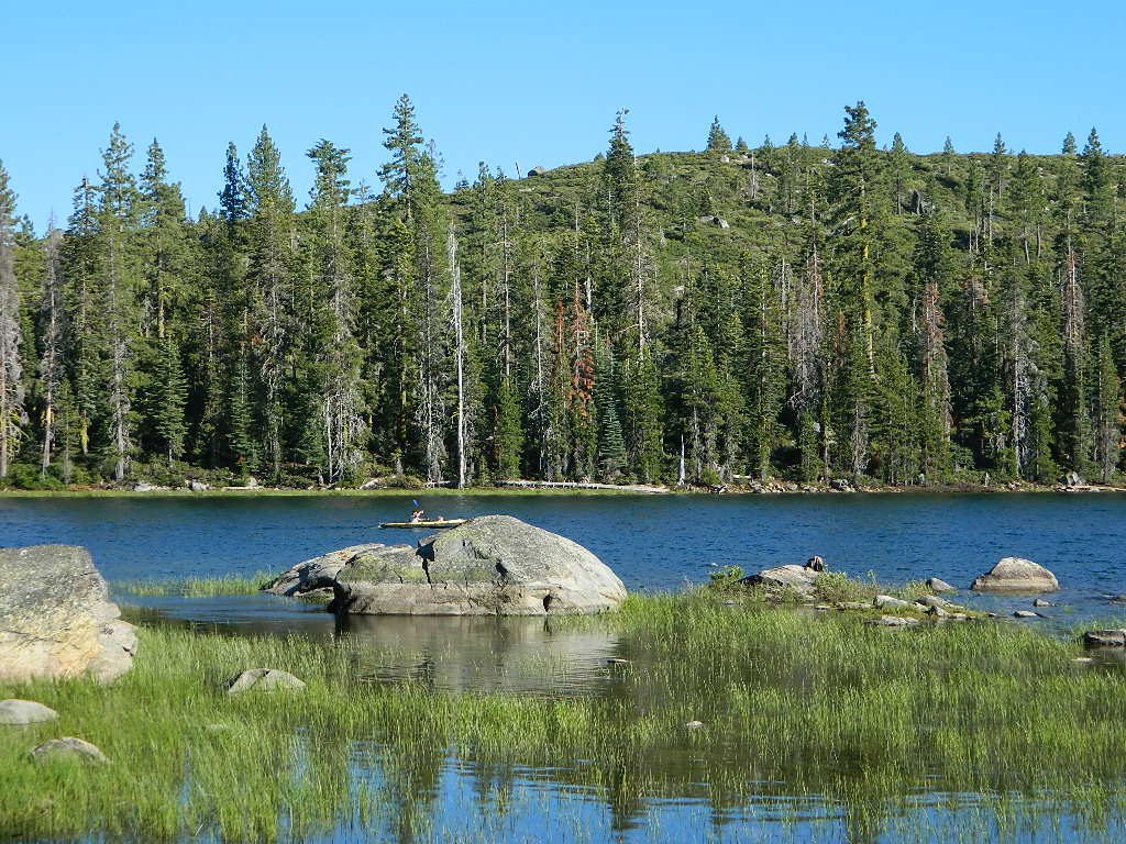
Kayaker @ Silver Lake

hiker

No swimming allowed at this Silver Lake, as it serves as a drinking water source for the neighborhoods below. Canoe & kayaking are allowed. Fishing is also popular at this location. Hiking trailheads at Silver Lake lead to the PCT (Pacific Crest Trail), Mount Pleasant, Spanish Peak and a small gem of a swimming hole, we call mini Gold Lake.

Bucks Lake Wilderness Map

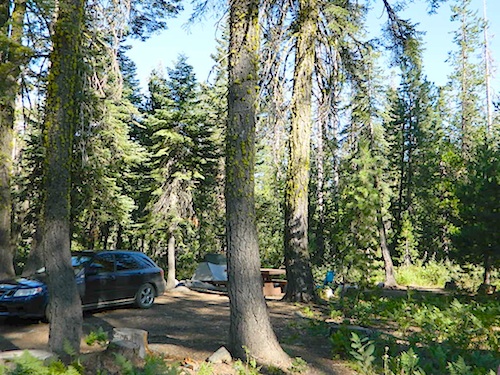
NFS Campground @ Silver Lake, near Quincy, CA

This small campground is actually set downhill from the rock earthen dam, which is something to ponder before/during a big earthquake. With sites 1-5 in a shady forest area and the others a bit closer to the lake, no campsite is too close to another. These are all well-spaced-out sites, providing decent privacy and minimal noise from neighboring campers. No campsites are located at the lake edge, as the rocky dam is a long structure and quite complex with water control measures.

All the campsites have new bear boxes for food storage, cuz ‘wilderness’ usually means black bears are roaming about. Deer tend to frequent campsites 1 & 2.

2020 update:
overnight camping fees now charged at this campground

silver camp 5

Silver Lake Campground NFS

campground

• Elevation: 5800′
• Number of Sites: 9
• Vehicle Accessibility: RV 22′
• Campsite Reservations: No
• Camp Fee: Yes
• Toilet: Vault
• Water: No piped/potable
• Length of Stay: 14 Days
• Season: May – October
• Trailheads: PCT, Gold Lake, Rock Lake, Granite Gap, Bucks Lake Wilderness

silverbackdrop

As with most of the high elevation lakes in California, winter months can mean deep snow and dirt road closures. This campground is usually open through the end of October, but call head to the local rangers if in doubt.

Plumas National Forest
Mt. Hough Ranger District
39696 State Highway 70
Quincy, CA 95971
530-283-0555

ranger

See all Silver Lakes in California

Sierra Road Conditions

Sierra Nevada Road Conditions – Highway California

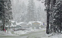
Snowy RoadsWinter Snow/ Winter Roads Sierra Nevada:

On rare occasions the Golden State freeway – Interstate 5 can be closed due to snow; N of Valencia on the Grapevine (near Lebec) or more likely up in NorCal (near Shasta).

Interstate 80 (aka Donner Pass) is often closed during big storms. Luckily there are hotels in Auburn or Truckee.

Highway conditions on mountain passes higher than 4000′ elevation can be unpredictable in winter months (Oct-May). It may be fine & just sprinkling @ 2000′, but a few miles up can be a white out. Ask anyone who’s ever driven the infamous Donner Pass in winter time. (more on Donner Party)

Annual Sierra Highway Closures

Ski mountains

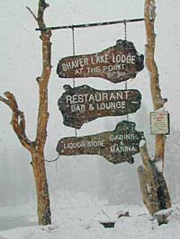
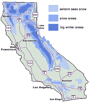
shaver lakeWhere does it Snow in California ?
Okay, okay ….so it’s nothing like those dreaded East Coast winters, but hey, some parts of California do get some serious snow. (see elevations) And the newbies who don’t prepare for it will be sorry. On the winter vacation travels, be prepared for almost anything, especially in the Sierra’s & Northern California.
Snowy towns in California

See California Weather & Road Conditions

California Winter: When does winter actually ‘set in’ for California?

Eastern Sierra CA: OCT- MAY
Western Sierra CA: NOV- APR
High Sierra CA: SEPT- MAY
North Coast CA: OCT- MAY
Northeast CA: OCT- APR

The following mountain roads are partially closed or totally closed during winter months. Please check road conditions before you leave for your trip. Chains may be required in most mountain areas of California.

CALTRANS web site

Highway CA County Region Connecting Towns
Hwy 155 Kern Southern Sierra Alta SierraWofford Heights
Hwy 190 Tulare Western Divide Hwy Camp NelsonPonderosa CA
M 375 Tulare Sequoia NP Hammond – Mineral King
Hwy 180 Tulare Kings Canyon NP Hume Lake – Cedar Grove
Whitney Portal Rd Inyo Eastern Sierra Lone Pine – Mount Whitney
Onion Valley Road Inyo Eastern Sierra Independence – Onion Valley
Glacier Lodge Rd Inyo Eastern Sierra Big Pine – Glacier Lodge
Lake Rd Hwy 168 Inyo Bishop Area Hwy 168 – South Lake
Hwy 120 Mariposa Yosemite NP Yosemite Lee Vining CA
Hwy 120 Mono Mono Lake Lee ViningBenton Hot Springs
Hwy 108 Mono Eastern Sierra DardenelleSonora Jct. Hwy.395
Hwy 89 Alpine Eastern Sierra MarkleevilleLake Topaz
Hwy 4 Alpine South Lake Tahoe Lake Alpine – Hwy 89
Hwy 44 Shasta Lassen Volcanic NP Manzanita Lake – Mineral CA

California College Towns

Uni in Cali

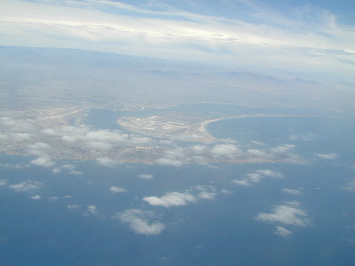
San Diego Skies & Bay

came to California for college and never left
Some folks would argue that education through life experiences can be just as rewarding as following the traditional path of private schools or state education. The internet is fast replacing the need for formal education, as many entrepreneurs never graduate from college and still go on to become huge successes.

Going to university or college in California is a common path for many students, which is why there are mostly transplants living on the west coast. Many start at community colleges and transfer to a 4 year college.

California is the largest state in the union, as well as the most prosperous. California has the one of the largest economy in the world!

Below is a list of California cities and towns with a big student population. Some of these places have more than one college or university in town. IN and around town you will find abundant apartment living, cafes, coffee shops, mexican food, laundromats, bike paths, parks and public bus service.

Chico Bench Art

The New York Fed’s second quarter numbers are out for 2016 and it doesn’t paint a pretty picture for student loan debt. Officially, the nation owes $1.26 trillion in student loan debt. Realistically, we are probably over the $1.3 trillion mark when taking into account the fact that the Fall semester has just started…

Deep Springs CollegeBishop, CA

Heartwood InstituteGarberville, CA

University of Earth
Quincy, CA

California Summer Camp

Kids Summer Camps in California

a child’s fondest memory, summer camp.

California Camps

Coppercreek Camp
Williams Valley Rd
Greenville, CA 95947
800-350-0006
Northern Sierra Nevada mountains

Gold Arrow Camp
60378 Highway 168
Lakeshore, CA 93634
800-554-2267
Central Sierra Nevada mountains

Kennolyn Camps
8205 Glen Haven Road
Soquel, CA 95073
831-479-6714
Santa Cruz mountains

Mountain Meadow Ranch
Susanville, CA 96130
530-257-4419
Northern Sierra California

Plantation Farm Camp
4285 Kruse Ranch Road
Cazadero, CA 95421
510-849-1084
707-847-3494
Coastal Sonoma redwoods

Pine Springs Ranch
58000 Apple Canyon Road
Mountain Center, CA 92561
951-659-4131
Idyllwild SoCal mountains

River Way Ranch Camp
6450 Elwood Road
Sanger, CA 93657
800-821-2801
559-787-2551
Central Sierra, Kings Canyon

Shaffer’s High Sierra Camp
38782 Highway 49
Sattley, CA 96124
866-597-6617
Gold Country Sierra foothills

Skylake Yosemite Camp
37976 Road 222
Wishon, CA 93669
559-642-3720
Bass Lake in Sierra NF