Tag Archives: California

Primitive Camp San Diego

Fire Light Cove

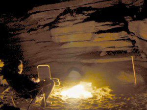
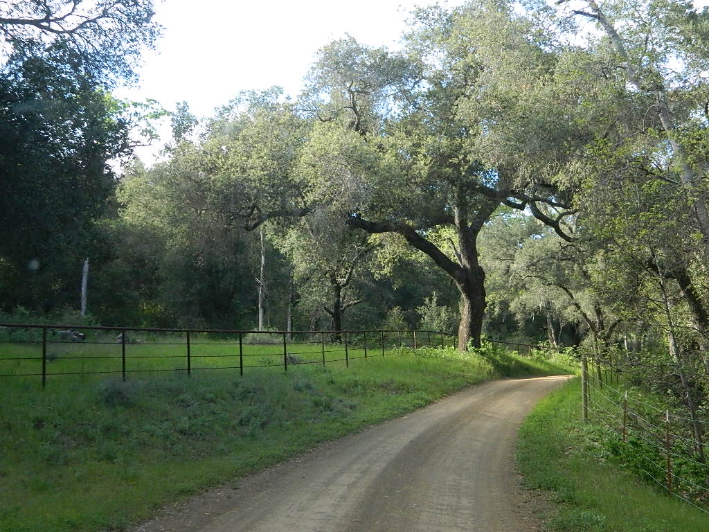
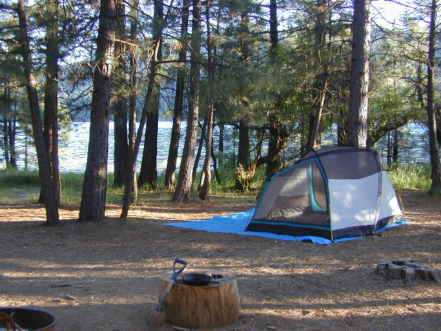
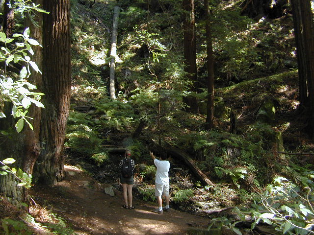
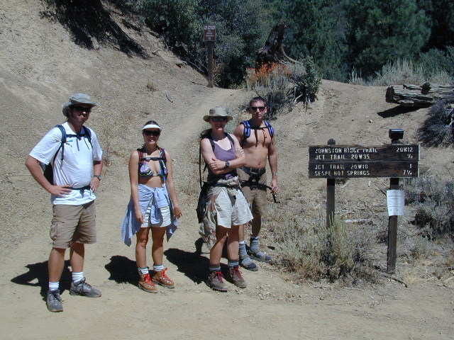
Open car camping is allowed in several places inside Cleveland National Forest, although NO campfires are permitted in the backcountry (trailside or dirt roads) – due to the high fire danger. Your best for FREE, open, dispersed camping (with a campfire) is Anza Borrego Desert State Park. Lower elevations w/ summertime temperature can get very hot, so plan for higher elevation camps. The more you explore, the more you can find.

The Tom Harrison San Diego Backcountry Map can get you out there on the back roads.

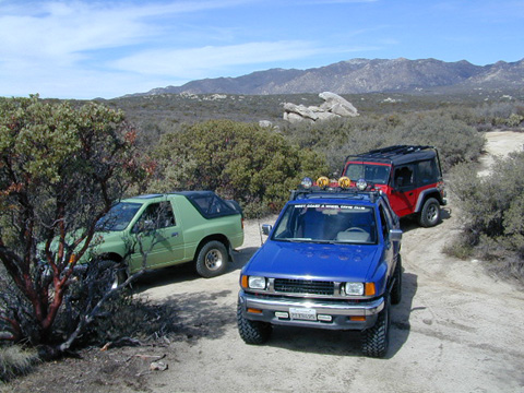
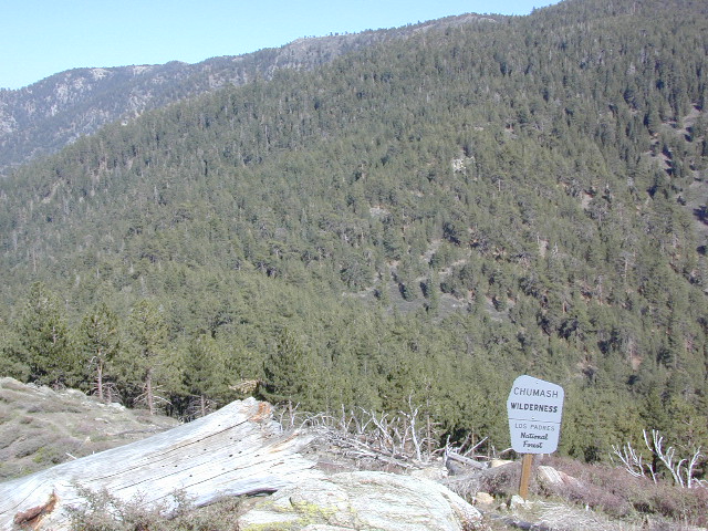
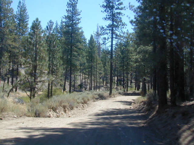
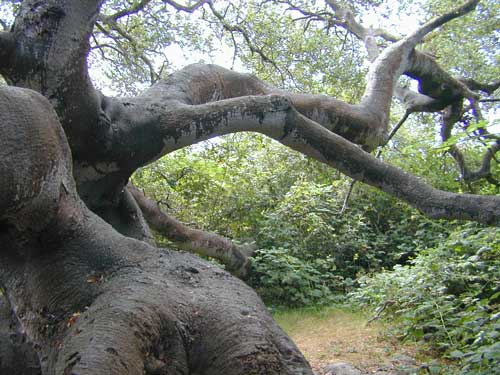
Laguna Mountain (off Sunrise Hwy. S-1)
[south Cleveland National Forest]
East of San Diego; 40 miles E on Interstate 8

  • Pine Creek Road – with plenty of mountain biking trails
  • Noble Canyon – popular mountain biking trail
  • Kitchen Creek Road (warning, heavy use w/ US Border Patrol)

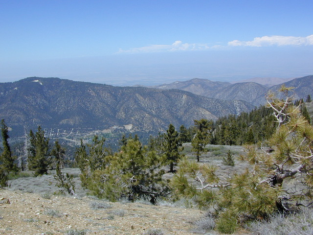
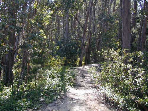
Palomar Mountain (off Hwy. 76)
[north Cleveland National Forest]
N of San Diego; 40 miles N on Interstate 15

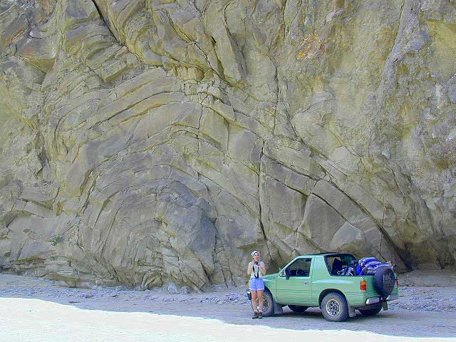
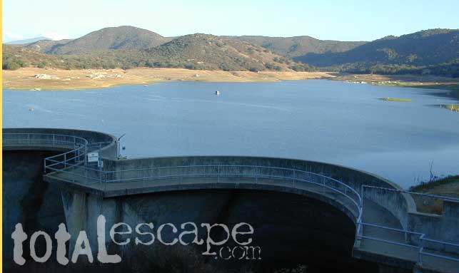
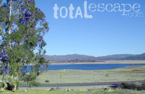
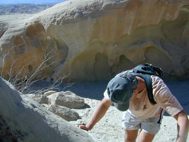
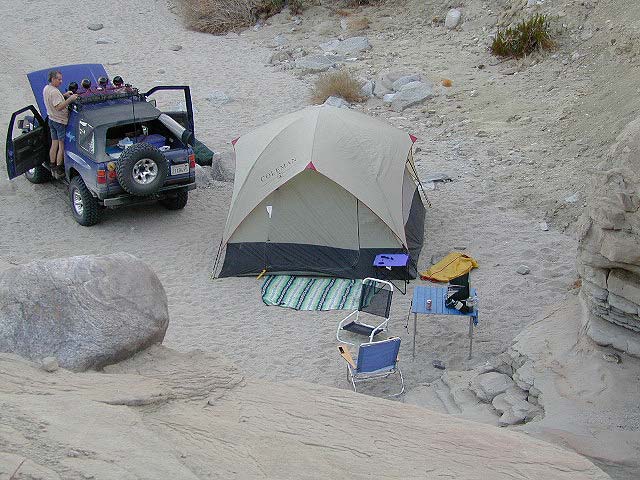
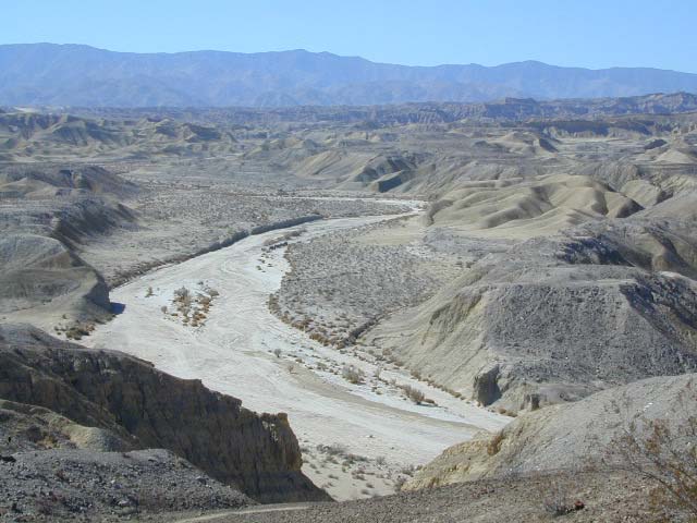
Anza Borrego Desert Camping
East of San Diego CA

  • Dispersed camping nearly anywhere in Anza desert (w/ a metal fire bucket)

[higher elevations (1000-2000′) near Cleveland National Forest]

  • Oriflamme Canyon (off Road S-2)
  • Culp Valley (off Road S-22)
  • Blair Valley (off Road S-2)

[lower elevations (100′) near Hwy 78]
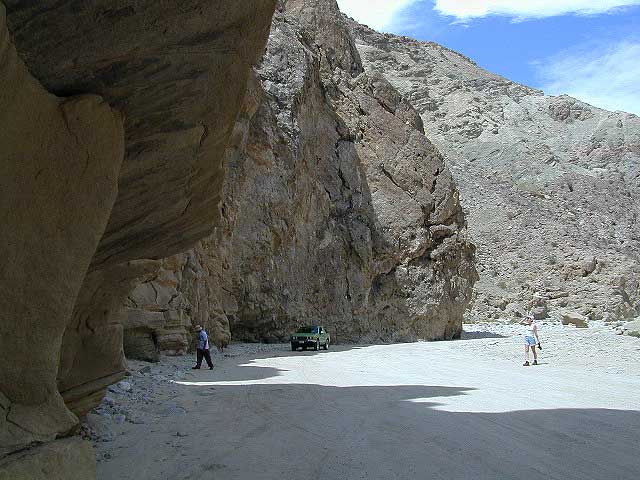
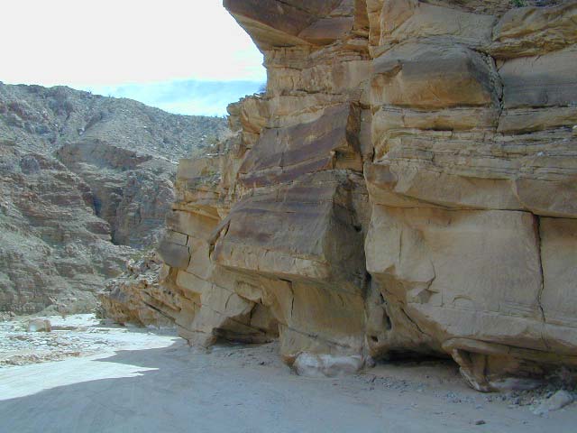
Cupl Valley Camp

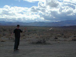
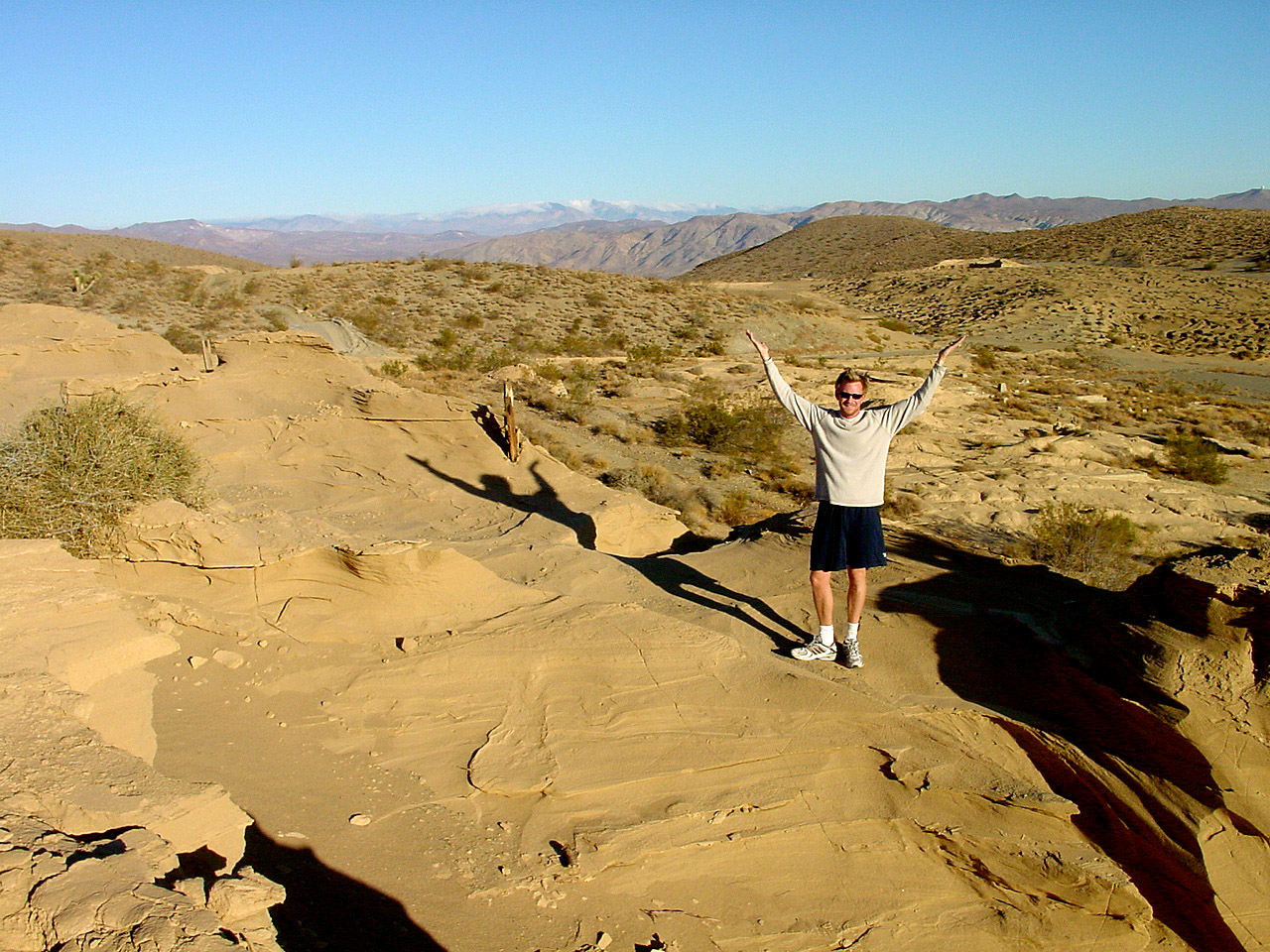
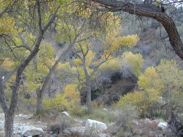
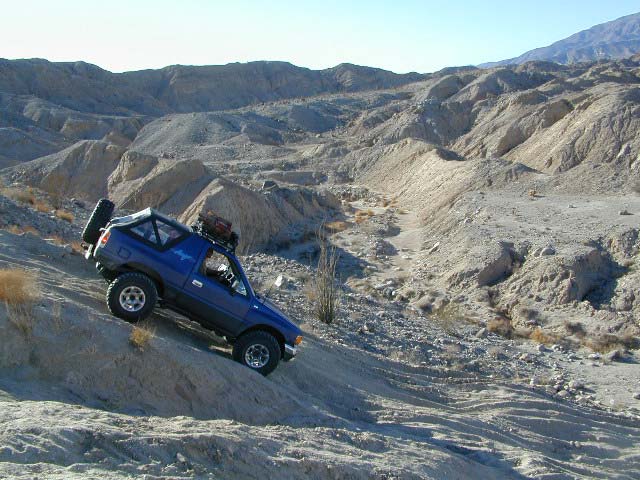
A winter day out exploring Culp Valley back roads.

mortero trails

Maps Mountains / San Diego Maps

Chumash Wilderness

Chumash Wilderness
Los Padres National Forest

38,150 acres
Mount Pinos – 8831′ elevation
Cerro Noroeste – 8286′ elevation
Los Padres National Forest

Terrain consists of high mountain peaks, badlands of Quatal Canyon Wash & Lockwood Valley; Steep slopes of forests, rock outcroppings, sparse forest areas, on border of Kern County & Ventura County. This area is sacred to the native California Chumash tribe.

Quatal Canyon Rd #9N09

DSCN0042Mount Pinos, Mount Abel, Cerro Noroeste, Westside Park, Hudson Ranch Road, Mil Potrero Highway, Lockwood Valley Road, East Dry Canyon, Apache Canyon, Cuyama River

campgrounds nearby –

The Peak to Peak Hike is a 7 mile, high elevation, ridge line day hike that traversed 2 of the tallest peaks in Kern County – Mt Pinos (elevation 8831′) and Mt Abel (8286′). Day hikes, equestrian trails, backpacking, mountain biking areas nearby. Steep, granite, chaparral, lightly forested w/ ponderosa and Jeffrey pines. From this ridge trail you have a 360 degree view over the entire region. The cabin community of Pine Mountain Club is to the north side (and IF the skies are really clear, you can see the Sierra Nevada mountain range too); Lockwood Valley & Ozena Valley are located to the south; Cuyama Valley to the west and the Tejon Pass w/ Frazier Park to the east.

Off road use 4×4, dirt bikes, ATVs, and quads are common in Quatal Canyon, Apache Canyon, East Dry Canyon leading up to the wilderness edge. Rangers will ticket if they find you on the Chumash side of Quatal wash. The secluded yet inviting, wide, white sandy washes are just too tempting for some bad boys.

Chumash trailheads are located

  • about a mile before Camp-O-Alto Campground (Mount Abel)
  • along lower end of Quatal Canyon Wash (OHV areas parallel)

nearby towns –


DSCN0060


View Chumash Wilderness Area in a larger map

Garcia Wilderness

Garcia Wilderness, Los Padres NF

14,100 acres
Garcia Peak – 3146′ elevation
Los Padres National Forest
Huasna River
Pozo Creek

himtncampgroundcampgrounds nearby –

American Canyon Campground
Hi Mountain Campground
La Panza Campground
Lake Lopez Campground
Navajo Campground

trailheads for Garcia Wilderness

  • Hi Mtn
  • Santa Lucia
  • Garcia OHV

POZO ROAD is also known as

  • Pozo La Panza Rd
  • Hi Mountain Rd
  • Pozo Arroyo Grande Rd

San Luis Obispo’s Los Padres Pozo Rd is a 4×4 route that accesses the Garcia Wilderness; the dirt route connects Lake Lopez to Pozo Saloon, out near Santa Margarita. Los Padres National Forest 

Located inland from the Pismo Coast in south San Luis Obispo county.
Garcia Peak OHV Route, off Pozo Road behind Lake Lopez, Arroyo Grande, CA

  • backpackingLupine on Pozo Rd
  • camping
  • hiking
  • mountain biking
  • off roading
  • waterfalls
  • wildflowers

Steep lush coastal mountains, rugged, remote landscapes close to Central Coast San Luis Obispo.

Garcia Ridge Road #30S18

Garcia Ridge Trail #15E11

Hi Mountain Road #30S11


DSCN5297

also nearby – Machesna Mountains Wilderness and Santa Lucia Wilderness

Split Mountain Anza Borrego Desert

Split Mountain Road

Fish Creek Wash
Anza Borrego Desert State Park
Ocotillo Wells, CA

Fish Creek Wash @ Split Mountain

Explore Anza Borrego State Park desert deeper for the secluded hidden treasures. Find yourself traveling the east San Diego county desert, on Highway 78 eastbound on the way to the Salton Sea. Passing the turn offs for Borrego Springs, slow down and look for the intersection of off-roaders & ATVs @ Ocotillo Wells, California. Ocotillo Wells State Vehicluar Recreation Area is on the north (left) side of the highway and Split Mountain is on the right.

From highway turn south (right) on to Split Mountain Road, which leads to numerous back road destinations. Ranch homes and private property line the first mile of the road, neighborhood general store and a tiny saloon, RV park and an ATV rental shop.

Old Kane Springs Road is a main dirt road that parallels the highway from the narrows at San Felipe Wash to the Salton Sea. Old Kane Springs Rd intersect the Split Mountain route about 1 mile south of highway.


View Larger Map

Split Mountain ranger station is before the Elephant Trees nature trail. Near the railroad track, the paved road turns into Fish Creek Wash near Fish Creek Campground. If you have a low rider passenger car, you might wanna park it here and walk in to the canyon. Within the first few miles there is a lot to explore – fossils in walls, huge cliffs, wind caves, narrow canyons.

The actual “split in the mountain” section is located just beyond the campground on a sandy desert road.

Anza Borrego’s Split Mountain

Fish Creek Wash continues south, deep into the Carrizo badlands where 4×4 is definitely needed. The trail system eventually loops back over to paved S2 @ Canebrake, via Pinyon Mountain w/ the Squeeze, or Canon Sin Nombre. Unlimited primitive camp sites, found inside every other nook and cranny. Numerous hidden slot canyons, sandstone cliffs and wide sandy washes becomes a literal maze of off-road trails so you better carry a good back roads topographic map.

Sturtevant Falls

Santa Anita Canyon, Sturtevant Falls

a day hike in the San Gabriel Mountains

Day hikes near Los Angeles, CA

Santa Anita Canyon, Angeles National Forest
From the 210 freeway, in San Gabriel Valley. East of Pasadena, exit Santa Anita Ave.
Head North/East, through neighborhood, where road becomes Chantry Flats Rd (aka, Forest Road #2N40)
proceed up the mountain to paved parking lot @ Chantry Flat. Falls Trailhead #11W14

  • 5 miles RT hike
  • 4600′ elevation
  • steep canyon w/ creek crossings
  • falls and creek subject to seasonal dry up; water flow varies
  • backpack camping only, no developed campground


more photos on trailhead


View Larger Map

California Christmas Tree Farms

Blue Spruce TreesOn rare occasions the local National Forest may be letting the general public cut their own Christmas trees in the nearby forests. There is usually a small fee & a list of rules. They do this for thinning of the forest, where pine trees are too close together. Free labor for the government & you are paying them for the privilege of cutting your own perfect pine tree. American traditions such as this still exist.

Call your local Rangers Office to inquire.

We love convenience & the reasonable prices of getting a tree locally. If you must buy your live Christmas Tree in the city, try your local plant nursery first. Orchard Supply Warehouse (OSH) usually has a great selection on live trees. Replant your little pine tree in your yard, or back in to a forest.

Southern California

San Diego

Family Christmas Tree Farm
El Cajon, CA

Rancho Noel Tree Farm
Potrero, CA

Highland Valley Christmas Tree Farm
Ramona, CA

LA / OC / Inland Empire

Big Bear Christmas Trees

Live Oak Canyon Christmas Tree Farm
Redlands, CA

Casazza’s Christmas Tree Farm
Rancho Cucamonga, CA

Peltzer Pines Christmas Tree Farms
Silverado, CA

Nancy’s Ranch
Santa Clarita, CA


Gold Country California

El Dorado County Christmas Tree Growers


Perhaps you want to cut your very own real tree, the premium looking pine (Blue Spruce, Douglas Firs) – without off roading all over public lands. Locate some Christmas Tree Farms  on the link below.

christmas-tree.com/real/ca/

If you’ll hafta settle for the freshly cut tree, here is a list of California retail tree lots. cachristmas.com/RetailLotMenu


Old West Days in Randsburg CA

bands

Old West Days in Randsburg

Many old west towns are still in existence in California, but few are as unique as the Randsburg Mining Camp in the Northern Mojave desert, where Hwy 395 meets the 14. The sleepy desert town is a hub of activity ( on weekends) for car clubs, dirt bikers, of-roaders & travelers passing through. Mid week you’ll see the locals and fewer tourists.Green Shack


This high desert annual event is on the third Saturday in September every year, music street fair is the biggest day of the year for local residents & tourists alike. Historic sights, donkeys, horses, cowboys, live music, food & all the fun you can imagine in the middle of nowhere. One day only!

Sponsored by the Rand Desert Museum

Annual event: September
760-793-3147

Randsburg, CA

JLRansb14


Post Office Cat


Night Time Entertaining Ourselves

Ponderosa Flat Campground

Butt Lake California
Ponderosa Flats Campground

DSCN0101

Lake Camping NorCal

RV camping, tent camping, fishing, hiking, swimming, boat launch, handicap accessible.

Ponderosa Campground – PG&E Campground,  located 3 miles from Lake Almanor

Tucked away off the main drag of Plumas Hwy 89. North end of Butt Valley Reservoir on east shore. Turn off about 6 miles northwest of Lake Almanor Canyon Dam on Hwy. 89, take Butt Valley Road south for 3.2 miles.

Set in a Ponderosa Pine forest along the shores of Butt Lake, part of a system of reservoirs formed by hydro-electric dams managed by Pacific Gas & Electric.  Lake levels can change rapidly with minimal warning.

DSCN0117

Quiet lake in California: No water skiing, jet ski or race boats; only small motorized fishing boats.  Canoeing, kayaking and sail boating are also popular lake recreation. Off road areas nearby.

• Elevation: 4,150′
• Number of Sites: 63
• Camping Reservations: Yes
• Sites Available: Reservations; First come, First serve
• Vehicle Accessibility: Vehicle 32 ft. max. No RV Hookups
• Length of Stay: 14 Days
• Water: Piped; lake
• Toilet: Vault
• Season: Closed for winter, Nov-April
• Fee: Yes
• Operated By: PG&E
• Closest Town: Lake Almanor, CA

Pacific Gas & Electric
Almanor Ranger Station
916-386-5164

Ohio Valley Route
The alternate dirt road access thru Ohio Valley is graded dirt w/ rough roads that may require 4×4 or high clearance vehicles. RVs are not advised to travel this way.

nearby destinations –

Ventana Wilderness

ventana hikes

Central Coast California
Backpacking Big Sur

Ventana Wilderness is a 40 mile stretch of protected land located in the Santa Lucia Mountains on the Big Sur coastline in between the Monterey peninsula and the Nacimeinto-Fergusson Road #4004. Fort Hunter Liggett lies to the east side and the Pacific Ocean to the west. Ancient volcano peaks called “cones” line the pine ridges – Ventana Cone,  Ventana Double Cone, South Ventana Cone, Black Cone & Cone Peak.

240,026 acres
Cone Peak – 5155′ elevation
Los Padres National Forest
San Antoni River
Sykes Hot Springs
Tassajara Creek
Tassajara Hot Springs

campgrounds bordering area –

hiking trailheads –

  • Cone Peak
  • Escondido
  • China Camp
  • Arroyo Seco
  • Bottchers Gap

redwood hikes

nearby towns –

Central Coast Big Sur Maps

ventana map

Los Padres Forest Maps

NatGeo Big Sur Topographic Map

Pinnacles National Monument Map

Ventana Wilderness Topo Map

Smaller Silver Peak Wilderness (31,555 acres) is also featured on the same map, situated south of Ventana and north of the San Simeon Hearst Castle area.


Ventana Wilderness Alliance
Ventana Wildlife Society

Douglas City Campground

Trinity River Campground

Douglas Steiner Flat Camping

douglasbeach

Northern California river camping. Douglas City is hardly even a town much less a city. A post office and a general store is the majority of what makes up this riverfront locale.

Tucked away on the scenic Trinity River, this small campground is perfect for those wanting to explore the Trinity River, Trinity Lake or the Trinity Alps region. Region is well known for fishing, hiking, kayaking and rafting. A small beach allows for river access. Group picnic area, picnic tables, telephone, beach, paved loop road are just a few amenities.

From Douglas City, drive half mile west on Hwy 299 to Steiner Flat Road. Follow signs to the developed camp. Numerous dirt roads lead to river edge, so there are primitive camping options available along Steiner Flat Road for those seeking free overnight stays.

• Elevation: 1,500′
• Number of Sites: 20
• Camping Reservations: No
• Sites Available: First come, First serve
• Vehicle Accessibility: Vehicle limit 28 ft. max.
• Length of Stay: 14 Days
• Water: Piped; river nearby
• Toilet: Flush & Vault
• Season: Closed for winter, Nov-April
• Fee: Yes
• Operated By: Bureau of Land Management
• Closest Town: Douglas City, CA

BLM Redding Ranger Station
530-224-2100

dscn0001
nearby destinations –
Chanchelulla Wilderness
Chappie Shasta OHV Area
Douglas City, CA
Lewiston Lake
Shasta Trinity National Forest
Trinity Alps Wilderness
Trinity Lake
Weaverville, CA
Whiskeytown Lake NRA

dscn0004

dscn0003

Sespe Wilderness

Sespe Wilderness & Hiking Trails

Los Padres National Forest
Campgrounds & Trailheads

Sespe Wilderness is located in the mountains W of Interstate 5, North of Los Angeles. The chaparral region lies in between Lockwood Valley and the Santa Clara River Valley (Hwy 126). Higher elevation Mount Pinos lies to north side of Sespe and Ojai Valley to the south. The infamous 4×4 Miller Jeep Trail is located on the north side near Alamo Mountain, which is also accessible via Hungry Valley.

The 2006 Day Fire burnt a good portion of the Sespe Wilderness, so you can expect to see some black and toasted areas. Sespe Creek is also referred to as Sespe River. and certain waterways may dry up during drier months. Piru Creek, Alder Creek, Aqua Blanca Creek, Tarr Creek, Mutau Creek, Snowy Creek are several worthy of note. Expect heat and high temperature in the summer & fall month, and possible campfire restrictions during extreme wildfire season.

219,700 acres
6 areas of hiking trails

Los Padres National Forest
Lockwood Ranger Station
661-245-3731

Sespe Trail Map
Sespe Trails, Tom Harrison Topographic Map

Sespe hiking trailheads located at –

Highway 126 – Fillmore, CA
Sespe Condor Sanctuary – Dough Flat Trailhead

Highway 150 – Ojai, CA
Sisar Canyon Day Hike / Road #4N15

Highway 33 – Ojai, CA
Rose Valley Road #6N31, Rose Valley Falls, Day Hike
Piedras Blanca Trailhead for the National Recreation Trail
Pine Mountain Rd # – Reyes Peak Trailhead

Lockwood Valley Road – Frazier Park, CA
Reyes Creek, Camp Shiedeck – Pine Mountain Trailhead
Half Moon Mutau Flat Trailhead, Sespe Hot Springs

Interstate 5 Tejon Pass @ Hungry Valley
Hard Luck Trailhead


rd7N03

Los Padres Campgrounds near Sespe Wilderness

  • Frazier Park Camping
  • Ojai Campgrounds
  • Twin Pines Campground, Road # 18N01
    Alamo Mountain via Hungry Valley OHV
  • Lockwood Creek Campground
  • Half Moon Campground, Lockwood #7N03
  • Thorn Meadows Campground, Lockwood #7N03
  • Dome Springs Campground, Lockwood #8N40
  • Reyes Creek Campground, Lockwood Valley Rd
  • Pine Mountain Road @ Reyes Peak (dispersed)
  • Nettle Springs Campground, Cuyama Hwy 33
  • Ozena Campground (closed)letswalk
  • Tinta Campground, Hwy 33
  • Rancho Nuevo Camp, Hwy 33
  • Rose Valley Campground, Hwy 33
  • Wheeler Gorge Campground, Hwy 33


nearby parks & lakes –

nearby towns –

Backpackers at Sespe Hot Springs

Mokelumne Wilderness

Central Sierra Nevada Mountains, California

Mokelumne Wilderness Area

topo mapsMokelumne Map

Mokelumne (pronounced moo-ka-la-mi)
Backpacking, Camping, Fishing, Hiking, Kayaking Mokelumne River / Mokelumne Fishing / Mokelumne Trail / Mokelumne Wilderness Topographic Map

Vast alpine ranges located in the middle of the Sierra Nevada, between Highway 88 (Carson Pass) & Highway 4 (Ebbetts Pass). The Mokelumne Wilderness is a 105,165-acre federally designated wilderness area located 70 miles east of Sacramento, California. It is within the boundaries of three national forests: Stanislaus, Eldorado and Toiyabe. First protected under the Wilderness Act of 1964, the Mokelumne’s borders were expanded under the California Wilderness Act of 1984 with the addition of 55,000 acres. The wilderness takes its name from the Mokelumne River, which was named after a Mi-wok Indian village located on the riverbank in California’s Central Valley.

The wilderness encompasses an area of the Sierra Nevada mountain range between Ebbetts Pass to Carson Pass. There are two sections separated by the Blue Lakes Road and an Off-Road Vehicle corridor. Elevations range from 4,000′ to 10,381′. The highest point is Round Top 10,364′, a remnant volcano from which the wilderness area’s volcanic soils are derived from and is located on the east side of the Sierra crest.

recreation –

  • backpacking
  • camping
  • creeks
  • fishing
  • hiking
  • ice climbing
  • kayaking
  • lakes
  • mountaineering
  • rivers
  • wildflowers

surrounding forest lands –

National Forest & Wilderness Permits –

USDA Stanislaus
Lake Tahoe Basin Management

More Mokelumne Wilderness Info & Links –

sierrawild.gov/wilderness/mokelumne
summitpost.org/mokelumne-wilderness
Mokelumne Wiki
Mokelumne River

Sunset at Mosquito Lakes

San Diego Lake

sutherland Reservoir

Lakes in San Diego CA
San Diego County Lakes & Reservoirs

Salton Sea, way out past Anza Borrego desert is indeed surreal, but nothing too spectacular

Baja mountain camping at Laguna Hanson. Baja California Norte
Lake Dixon in North County San Diego, near Escondido, CA

Barrett Lake, near Tecate CA
w/ plenty of off-roading trails @ Corral Canyon OHV Park

      • south of Interstate 8
      • steep slopes & granite boulders
      • vegetation is chaparral & coastal sage
      • elevations range – 1,600′ – 3,681′
      • wood fires prohibited
      • portable stoves permitted
      • groups limit – 15 people
      • visitor permit required
hikes NFS camping

Looking for alpine lakes, dense forest and dramatic mountain scenery? 

Of course you are. That’s why half the population relocated to California, to endlessly search for summer vacation destinations in alpine bliss and stay overnight next to a secluded mountain lake. You’ll need to leave SoCal to find these beauties, but they are out there if you have the time to travel and spend a week enjoying one. Midweek, the fish are all yours. Check out our huge California Lake List.

Thousand Lakes Wilderness

NorCal hiking & backpacking

Thousand Lakes California

Although the name suggests more, the number of lakes in this region is approximately seven: Eiler Lake and Box Lake are the 2 largest lakes within the Wilderness boundary. Logan Lake and North Battle Creek Reservoir are on the outskirts. Trout fishing is a popular recreation sport all around Lassen. Thousand Lakes Wilderness is part of the Cascade Range in northern California. 16,335 acres and 21 miles of trails, all managed by Lassen National Forest. The area lies midway between the mountain town of Burney and Lassen Volcanic National Park.

Volcanic activity and glaciers have combined to create the Lassen topography. Dominated by Crater Peak 8677′, which is the highest point in Lassen National Forest, this area is a reminder of the glacial action that eroded the original, much larger Thousand Lakes Volcano and created the many small lakes and ponds scattered throughout the region. Wildlife includes black-tailed deer, black bear, pika, pine marten, northern goshawk, spotted owl, pileated woodpecker, and Clark’s nutcracker. Even elk have been known to visit occasionally.

Lassen National Forest
Lassen Volcanic National Park


View Larger Map

Thousand Lakes Wilderness

Roads and trailheads surrounding Thousand Lakes Wilderness and the Wild Woods

Lassen Forest Road #16 – Ashpan Winter Recreation Area @ Hwy 44, leads to hikes on the west side of the Wilderness. Bunchgrass trailhead and Magee trailhead. LaTour State Forest, Ashpan Butte, Huckleberry Mountain, Fredonyer Peak, Crater Peak, and Whittington Butte. Lassen Route 16 is a graded dirt road that connects to Tamarack Road #4M001 at Burney Creek, near the north side of the Wilderness.

Road #32N17 – access to North Battle Creek Reservoir
Road #32N16
Road #32N24

Thousand Lakes Wilderness Map
Road #32N31 – access to North Battle Creek Reservoir

Road #32N18 leads to PG&E North Battle Creek Reservoir
North Battle Creek Campground: elevation 5600? / 15 camp sites / open Apr-Oct

Road #26 on the north side of the Wilderness, connects Hwy 89 @ Hat Creek, west to Road #32N22. Cypress trailhead is located on a side route nearby.

Road #32N23 is up on Burney Mountain elev. 7863′, another hang glider launch site.

Road #33N25 leads to the Tamarack trailhead
Road #34N78 off Hwy 44, near Logan Lake and route leads to McElroy Flat

Road #32N35 behind Burney connects to Hat Creek (the back way).


LASSEN AREA MAPS –

Lassen National Forest Map
Thousand Lakes Wilderness Map


List of Thousand Lakes Wilderness trailheads:

Bunchgrass Trailhead
Magee Trailhead
Cypress Trailhead
Tamarack Trailhead


List of nearby towns:

California Summer Camp

Kids Summer Camps in California

a child’s fondest memory, summer camp.

California Camps

Coppercreek Camp
Williams Valley Rd
Greenville, CA 95947
800-350-0006
Northern Sierra Nevada mountains

Gold Arrow Camp
60378 Highway 168
Lakeshore, CA 93634
800-554-2267
Central Sierra Nevada mountains

Kennolyn Camps
8205 Glen Haven Road
Soquel, CA 95073
831-479-6714
Santa Cruz mountains

Mountain Meadow Ranch
Susanville, CA 96130
530-257-4419
Northern Sierra California

Plantation Farm Camp
4285 Kruse Ranch Road
Cazadero, CA 95421
510-849-1084
707-847-3494
Coastal Sonoma redwoods

Pine Springs Ranch
58000 Apple Canyon Road
Mountain Center, CA 92561
951-659-4131
Idyllwild SoCal mountains

River Way Ranch Camp
6450 Elwood Road
Sanger, CA 93657
800-821-2801
559-787-2551
Central Sierra, Kings Canyon

Shaffer’s High Sierra Camp
38782 Highway 49
Sattley, CA 96124
866-597-6617
Gold Country Sierra foothills

Skylake Yosemite Camp
37976 Road 222
Wishon, CA 93669
559-642-3720
Bass Lake in Sierra NF

San Francisco RV Park

RV Campground San Francisco / RV Camp Ground

San Francisco RVing

Beach RV Park
2505 Portola Dr
Santa Cruz, CA
831 462-2505

Betabel RV Park
9664 Betabel Rd
San Juan Bautista, CA
800-278-7275
831 623-2202

Candlestick RV Park
650 Gilman Ave
San Francisco, CA
800 888-2267
415 822-2299

Costanoa Coastal Lodge & Camp
2001 Rossi Road @ Hwy 1
Pescadero, CA
650 879-1100

Coyote Valley RV & Golf Resort
9750 Monterey Rd
Morgan Hill, CA
866 376-5500
408 463-8400
San Jose, CA

Marin Park
2140 Redwood Hwy.
Greenbrae , CA
888 461-5199

Novato RV Park
1530 Armstrong Ave
Novato, CA
800 733-6787
415 897-1271

Olema Ranch Campground
Point Reyes National Seashore
10155 Highway 1
Olema, CA
800 655-2267
415 663-8001

Parkway Lakes RV Park
100 Ogier Ave
Morgan Hill, CA
408 779-0244

Pinto Lake Park
451 Green Valley Rd
Watsonville, CA
831 722-8129

San Francisco RV Resort
700 Palmetto Ave
Pacifica, CA
877-864-2728
182 sites

Santa Cruz Ranch RV Park
917 Disc Dr
Scotts Valley, CA 95066
877-864-2728
Full hook up, pull-thru sites

Saratoga Springs Park
22801 Big Basin Way
Saratoga, CA
408 867-3016 x824

Trailer Tel RV Park
1212 Oakland Rd
San Jose, CA
408 453-3535

Treasure Island RV Park
1700 El Camino Real
South San Francisco CA
650 994-3266

see also –

San Diego Lakes

San Diego county has numerous recreational lakes, but only a few that allow overnight camping. Oak filled valleys and pine forests are nearby, but if you are seeking alpine lakes, surrounded by granite peaks and towering forests – then look to north for the Sierra Nevada mountains. Southern California landscape is nearly a desert terrain, with seasonal creeks and minimal rivers, so you won’t find lush greenery with natural lakes down here.

lakes San Diego

cleveland National Forest map

Agua Tibia Wilderness

Agua Tibia Wilderness Area

  • 15,900 acres
  • chaparral & oak at lower elevations
  • pine & fir forest at high elevations
  • elevations range 1,700′ – ­5,000′
  • 25 miles of trail
  • summer temperatures exceed 100°F
  • occasional snow in winter
  • best in winter through spring
  • wood fires prohibited
  • portable stoves permitted
  • water scarce
  • no overnight use of pack or saddle stock
  • groups limit – 15 people
  • visitor permits required
Agua Tibia lies right on the RIVERSIDE
& SAN DIEGO COUNTY border

Cleveland National Forest
Palomar Ranger District
1634 Black Canyon Road
Ramona, CA 92065
760-788-0250

Agua Tibia Map

Agua Tibia Trailhead

This is the trailhead for Agua Tibia Wilderness located at Dripping Springs Campground on Highway 79, near Temecula CA.

See more: Agua Tibia Mountain hike details

hiking SoCal

Tejon California

Tejon Pass / The Grapevine / Tejon Ranch

tejon poppies

Interstate 5 California (Kern & LA County)

Tejon is the largest and oldest privately owned ranch land in California. It spans from the northern slopes of the great central valley to the tops of the oak sided mountains. The Tejon Pass 4144′ elevation, is Interstate 5. The golden state freeway zooms by connecting north Los Angeles to the Central Valley…. at 80mph. Watch for CHP near here. It’s easy to go down hill at 90 and not even realize it.

The old portion of this mountain pass is known as the Historic Ridge Route, and many overgrown miles can still be traveled on the back road. Off road and motorbike trails join up with old sections of crumbling highway between Lake Castiac and Pyramid.  The artist Christo erected 1760 yellow umbrellas along these hillsides between Gorman and Tejon, back in 1991. Awesome wildflowers bloom throughout Tejon, Lebec to Gorman each spring from late March thru May.

Angeles National Forest is on the east side of the freeway w/ Castiac Lake and Los PadresNational Forest is on the west side, with Pyramid Lake. Back roads camping and total seclusion is prime pickins in this region, if you have a decent map and are willing to drive a little

Family campgrounds, RV astronomy sites, 4×4 camps on dirt roads, off road parks, walk in campground to alpine meadows, ridge line forest camps, backpacking, horsepacking, mountain biking, hiking. Numerous campgrounds can easily be found by driving 30 minutes from the “Frazier Park Mountain Road” exit off the freeway. Most folks aim for Mount Pinos, but the whole Los Padres forest is devine.

The fort location was established by the U.S. Army in 1854 and was designed to protect Native Americans. Restored adobes and museum feature exhibits on military life and local history. They also hold living history events performed by volunteers in costume. The park has a number of 400 year-old valley oak trees. Mister Peter Lebeck was killed by a grizzly here and there is even a tree to prove it.

Tejon photos

Fort Tejon Uniforms

Originally uploaded by danamight

Tejon Industrial Complex: This is the first large scale development in a master planned laid out by the privately owned Tejon Ranch Corporation. Another trucker stop on the opposite side of the freeway is already underway. In-N-Out Burger, Starbucks, McDonalds, IKEA distribution center, gasoline @ the bottom of the Grapevine. 30 miles south of Bakersfield & just down the hill from Lebec.

towns nearby –


Angeles National Forest Map
Angeles Forest Map
Los Padres National Forest Map: South
Los Padres Forest Map: South

Gorman Gold

Headed to Kern River ?

KERN COUNTY RD 184 = LAVAL ROAD: Wheeler Ridge. This is your freeway exit northbound if you wanna bypass Bako city traffic, on the way to Lake Isabella & Kernville.

Gas up in Lamont, it’s cheaper on the north end of town. Great little taco shops abound. Best bypass thru the farm belt to the Sierra Nevada.

Monterey Campgrounds

Monterey Bay Campgrounds

Monterey Beach Camping

The Monterey Bay of California is located south of the San Francisco peninsula, and north of the rugged Big Sur Central Coast. This is a popular region for tourism, coastal villages w/ shops and restaurants, parks and beaches, farms and farm stands.  With Santa Cruz mountains and redwoods as the backdrop, this coastline is also highly residential.

Camping along this coast is limited mostly to State Parks and few private RV park campgrounds. No primitive beach camping is allowed on State Beaches, no hike-in camp sites, no hidden cove tent sites, nor secret dirt roads with views over the Pacific. This is a very developed beach and bay, with the 4-lane freeway, main artery US Highway 101, bordering the entire shore.

If you are looking for free and a more rugged, scenic camp – head south to the Big Sur Coast, to find a dirt road camp on the ridge. The sweetest ocean view hike-in camp sites can be found to the north, in the Marin Headlands of Point Reyes, which can be found under Marin Camping.

blue links lead to State Park pages w/ camp reservations.camp

Monterey Area Campgrounds

(listed from south to north)

Monterey Pines RV Campground (Navy)

Monterey County Fairgrounds RV Park

Marina Dunes RV Park

Sunset State Beach State Parks
South Campground

Manresa State Beach State Parks
Uplands Campground

Seacliff RV Park

Seacliff State Beach Campground State Parks

New Brighton State Beach State Parks

Santa Vida RV Park, Santa Cruz, California

Costanoa Coastal Lodge & Campground, Pescadero

Pelican Point RV Park, Half Moon Bay

Half Moon State Beach State Parks
Francis Beach Campground

camping monterey

woods

seaside towns along coast at
Monterey Bay up to San Francisco –

(listed from south to north)