Tag Archives: camping

Cleaning Up Litter

Litter ay Camp

Garbage on the Back Roads
Wilderness Ethics

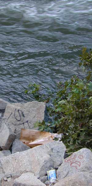
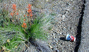
Litter seems to be nearly everywhere. Although there are trash cans at most campgrounds & developed picnic areas, some lazy folks still seems oblivious to the fact that their ignorance is causing an eye sore for the rest of us. Does that bunny rabbit really need to look at your abandon water bottle in the bushes, for the next 7 years?

littercup

Remove Trash while Camping & Picnicking

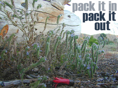
  • Pack it In; Pack it Out, means if you bring it out there, please take it back home (or to a proper garbage disposal site).
  • Bring work gloves when camping; do messy job faster and have clean hands
  • Bring trash bags or cardboard boxes for storing trash for transport
  • Take out some litter; Leave the camp or picnic site cleaner than you found it
  • Use existing campsites & fire rings to prevent impacting new areas
  • Pitch tents in cleared camp spots only (when primitive camping)
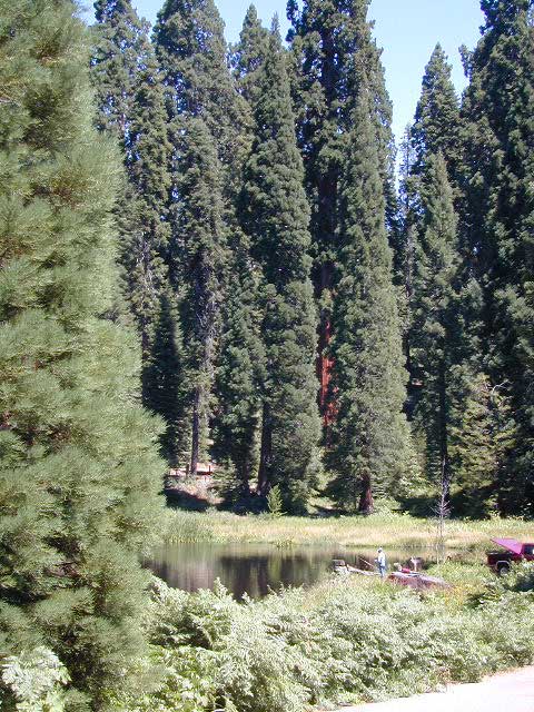
  • Do not set a tent up in a meadow. It’s a fragile environment

graf_kern_i

tread lighty
leave no trace
and always leave the site nicer than you found it

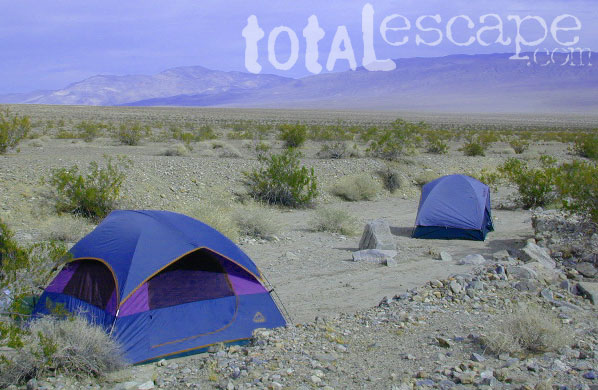
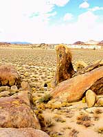
desert camping

Trinity Alps Trailheads

Trinity Alps Wilderness Trailheads
NorCal Hiking Vacations

Meadow on Trinity Alps Long Canyon Trail

Northern California, Trinity Lakes
Shasta Trinity National Forest

  • backpacking
  • camping
  • fishing lakes
  • hiking trails
  • horseback trails
  • waterfalls

Trinity Alps Wilderness

hike


Trinity Wilderness trailhead locations –

trailheads from Highway 3:

  • Scott Mountain (PCT access)
  • Bear Creek
  • Eagle Creek
  • Stoddard Lake
  • Boulder Creek
  • Big Flat
  • Swift Creektrinityalps_lg

trailheads from Highway 299:

  • Canyon Creek
  • Hobo Gulch
  • French Creek
  • Green Mountain
  • Jim Jam Ridge
  • East Fork
  • New River
  • Grizzly Camp

trailheads from Highway 96:

  • Tish Tang
  • Red Cap Lake
  • Bear Hole
  • Mill Creek Lake
  • Salmon Summit

trailheads from north @ Salmon River, Cecilville Rd #1C02:

  • Hidden Horse
  • Trail Creek
  • Carter Meadows Summit (PCT access)
  • Middle Boulder

Trinity Alps Wilderness Trail
Overview @ SummitPost

Where to Camp

Where to set Camp in California?
Camping Spots
Small campgrounds have fewer facilities than the larger developed campgrounds, but less sites means more nature and less people. Roughing it on the back roads with dispersed camping is by far the best experience for seclusion and privacy

real peace and quiet.

Primitive, free camping requires more thought and planning than just pitching a tent in a flat spot at a developed campground.

First off, you will need a decent topo map to find the dirt back roads, the trailheads and the creeks with the best camp sites; a dependable and capable rig to get you out there, plus your camping gear.

Campfire permits are usually required for camp stoves, BBQs and any open fires. (bucket & shovel needed).

And most importantly, since California is known for its super dry climate and seasonal wildfires, make sure to check with local rangers to find out about any current campfire restrictions.

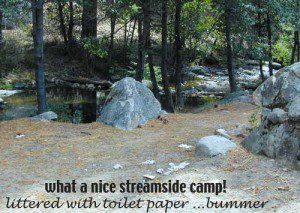
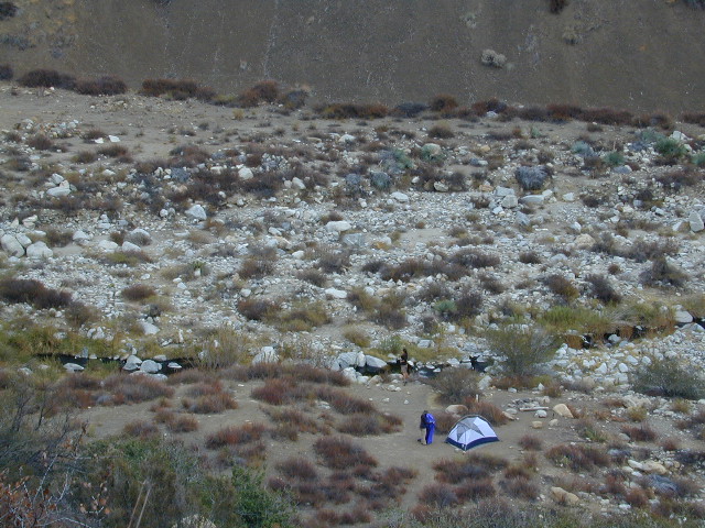
Streamside Camping
some tips for a good camping experience – without scoldings or citations from Mr. Ranger:

  • Choose existing campsite in a used area – rather than creating another rock ring & trampling a fresh spot.
  • Always know fire conditions; get a fire permit if you have a campfire outside of a developed campground.
  • Set up camp away from other people. The majority of people go to the wilderness to experience quiet, peace, & solitude. There is plenty space for everyone, so spread out.

mountains

  • Never set camp in a meadow. It is a very fragile ecosystem.
  • Use an existing camp site when possible. Rebuilding and cleaning campfire pits is part of the job!
  • Camping right on the a creek bed or lake shore is damaging to the vegetation and wildlife areas. Place tent at least 20+ feet away from waters edge. Many camp site already exist in prime areas on creek front, so seek out those first. The deeper you go into the wood, the more you will find. Seclusion is possible, if you want to drive beyond the pavement.
  • Do not camp beneath large dead trees. Check tent spots for old overhanging branches too.
  • Do not camp near a mine shaft; Toxic heavy metals or radioactive debris could be present in the dirt.
  • Camping next to a lake, wetlands or a meadow can often result in abundant mosquitoes & insects overall.
  • Snow is possible anytime from October to May above 5000′ elevation. Chilly nights are common in summer.

deserts

  • Avoid camping inside desert canyons when the threat of rain is approaching: possible flash floods.
  • Consider the benefits of potential windbreaks in desert terrain. Large rocks, bushes, trees, your vehicle & even a hillside.
  • Picking a camp spot on a ridge line means sun exposure and windy conditions. Breezes will keep the bugs away and you can’t beat the better view, but wind can pick up at any time especially in desert regions.
  • Low elevation in late spring and fall means very warm temps; summer is triple digit heat most days.
  • Do not camp near a mine shaft; Toxic heavy metals or radioactive debris could be present in the dirt.

coastal

  • Avoid camping on fragile coastal cliffs; unstable, which can give way, caving in, resulting in danger to you.
  • Camping on the beach means watching the tides. Know where high water mark is before you set camp up.
  • Beach camping in early summer means low clouds and fog are likely. June Gloom can last months.

countryside

  • Avoid building campfires up against a large boulders or against a rock face.
  • Rivers controlled by hydroelectric dam systems mean that the water levels can change at any time without warning.
  • Never set camp in a wildflower meadow. It’s too fragile of an ecosystem.
  • Lower elevations in summer time means potential triple digit heat during mid-day.
  • Do not camp near a mine shaft; Toxic heavy metals or radioactive debris could be present in the dirt.
National Parks National Forests State Parks California BLM OHV routes California Wilderness
Beach Camping
California Forests
Wineries
Desert Parks
California Back Roads California Lakes

Eeeew Bugs

LadyBugs

Spiders and Bugs

terrachula If insects are your biggest concern when camping, then consider yourself totally “spoiled rotten”. Grasshoppers, ladybugs, beetles, butterflies, dragon flies, damsel flies, bumble bees and honeybees are usually not feared, but other bugs are more frightening looking or just extremely annoying.

Some of the most common pests you will experience in California –

  • mosquitoes (warm weather & near water sources)
  • yellow jackets (they want meat or sugar)Alabama Hills Lone Pine
  • horse flies (near coast & in the mountains)
  • small black flies (near oak groves and pinyon forests)
  • no-see-ums (tiny gnats, zip the tent up)
  • moths (@ night, attracted to lights)
  • scorpions (up to 6000′ elevation)
  • terantulas (painful bite, but harmless to humans)

Follow these tips:

  • Do not camp near any still or stagnant water
  • Do not camp next to meadows
  • Do not wear perfumed products; the less scent the better
  • Build a small fire, smoke will keep most bugs away
  • Zip up tent door (always). Even if you’re just inside for a minute
  • Turn off flashlight before entering the tent. Moths may follow the light in with you
  • Camp in the cooler months, Spring & Fall

HELPFUL ITEMS to PACK:Coleman Tents

  • Scented Options

    • Candles w/ citronella scent
    • Citronella incense sticks
    • Tiki torches with citronella fuel
    • Green Mosquito Coils (toxic to water sources)
  • Insect Repellent Spray

    • All Terrain Bug Repellent (non-toxic)
    • Deet is simply Poison
    • Citrus scents are effective
    • Combo sunscreen insect repellents are new
    • Avon’s Skin So Soft Lotion is well known for keeping bugs away

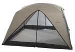
    Screen Room – large tent with open walls. Staking this structure down properly is key. Then park your picnic table and chair inside to enjoy a meal in peace.

    Ponds and Meadows
    Ponds and Meadows are areas in the forest where water collects, and mosquitoes are common. When the low temps dip into the 30’s at night, they usually die off.

Primitive Camp San Diego

Fire Light Cove

Open car camping is allowed in several places inside Cleveland National Forest, although NO campfires are permitted in the backcountry (trailside or dirt roads) – due to the high fire danger. Your best for FREE, open, dispersed camping (with a campfire) is Anza Borrego Desert State Park. Lower elevations w/ summertime temperature can get very hot, so plan for higher elevation camps. The more you explore, the more you can find.

The Tom Harrison San Diego Backcountry Map can get you out there on the back roads.

Laguna Mountain (off Sunrise Hwy. S-1)
[south Cleveland National Forest]
East of San Diego; 40 miles E on Interstate 8

  • Pine Creek Road – with plenty of mountain biking trails
  • Noble Canyon – popular mountain biking trail
  • Kitchen Creek Road (warning, heavy use w/ US Border Patrol)

Palomar Mountain (off Hwy. 76)
[north Cleveland National Forest]
N of San Diego; 40 miles N on Interstate 15

Anza Borrego Desert Camping
East of San Diego CA

  • Dispersed camping nearly anywhere in Anza desert (w/ a metal fire bucket)

[higher elevations (1000-2000′) near Cleveland National Forest]

  • Oriflamme Canyon (off Road S-2)
  • Culp Valley (off Road S-22)
  • Blair Valley (off Road S-2)

[lower elevations (100′) near Hwy 78]

Cupl Valley Camp

A winter day out exploring Culp Valley back roads.

mortero trails

Maps Mountains / San Diego Maps

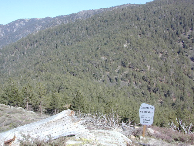
Chumash Wilderness

Chumash Wilderness
Los Padres National Forest

38,150 acres
Mount Pinos – 8831′ elevation
Cerro Noroeste – 8286′ elevation
Los Padres National Forest

Terrain consists of high mountain peaks, badlands of Quatal Canyon Wash & Lockwood Valley; Steep slopes of forests, rock outcroppings, sparse forest areas, on border of Kern County & Ventura County. This area is sacred to the native California Chumash tribe.

Quatal Canyon Rd #9N09

DSCN0042Mount Pinos, Mount Abel, Cerro Noroeste, Westside Park, Hudson Ranch Road, Mil Potrero Highway, Lockwood Valley Road, East Dry Canyon, Apache Canyon, Cuyama River

campgrounds nearby –

The Peak to Peak Hike is a 7 mile, high elevation, ridge line day hike that traversed 2 of the tallest peaks in Kern County – Mt Pinos (elevation 8831′) and Mt Abel (8286′). Day hikes, equestrian trails, backpacking, mountain biking areas nearby. Steep, granite, chaparral, lightly forested w/ ponderosa and Jeffrey pines. From this ridge trail you have a 360 degree view over the entire region. The cabin community of Pine Mountain Club is to the north side (and IF the skies are really clear, you can see the Sierra Nevada mountain range too); Lockwood Valley & Ozena Valley are located to the south; Cuyama Valley to the west and the Tejon Pass w/ Frazier Park to the east.

Off road use 4×4, dirt bikes, ATVs, and quads are common in Quatal Canyon, Apache Canyon, East Dry Canyon leading up to the wilderness edge. Rangers will ticket if they find you on the Chumash side of Quatal wash. The secluded yet inviting, wide, white sandy washes are just too tempting for some bad boys.

Chumash trailheads are located

  • about a mile before Camp-O-Alto Campground (Mount Abel)
  • along lower end of Quatal Canyon Wash (OHV areas parallel)

nearby towns –


DSCN0060


View Chumash Wilderness Area in a larger map

Mineral King Camping

DSCN0019

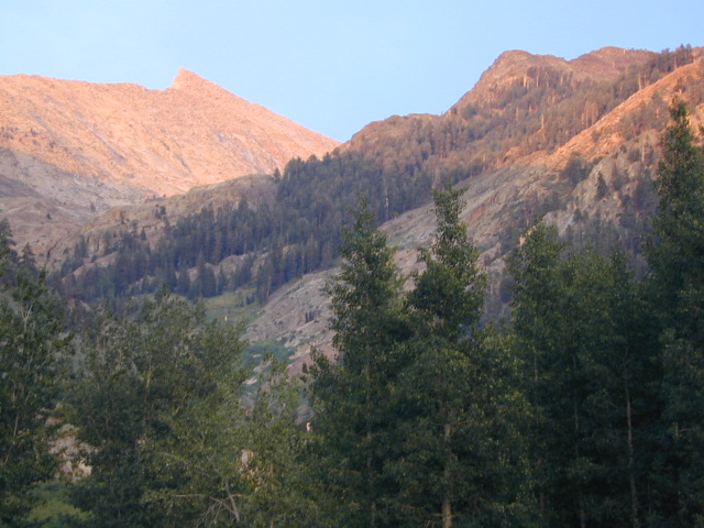
Mineral King is a magnificent canyon in the southern portion of Sequoia National Park, east of  Visalia, CA. So magical indeed that Disney tried to purchase the rugged scenic lands for a wilderness ski theme park in 1960. Thankfully that project never happened, due to strong opposition from preservationists. Mineral King became part of Sequoia National Park in 1978.

Mineral King is the Great Western Divide, where high peaks separate the foothills from the taller Eastern Sierra range. Upper Kern River Canyon lies beneath as the main south drainage from the very tallest peak, Mount Whitney @ 14,494′
sierra topo maps

Mineral King Road is a paved off shoot from Highway 198, just to the east of the town of  Three Rivers, CA. The road is steep and curvy and 25 miles long. No gasoline at all. No RV motorhomes or trailers are permitted to travel this scenic and amazing back road. Certain portions of the road are dirt and usually graded, but most of the route is paved.  Snow closes the road in winter months – NOV-MAY.

We usually get less than a half year to enjoy this special place, so make plans in advance to fit this destination into your schedule JUNE-JULY-AUG-SEPT.

And do not even think of trying to cram spectacular Mineral King into an already packed Sequoia Park weekend trip. The Giant tree Sequoia groves, Hume Lake and Kings Canyon are over an hour north (hwy 198), to other side of the park.

If you have a full week to hang out in the Sequoia National Park area, then obviously Crystal Cave and Mineral King should be on the list, but keep in mind taht each destination will take a full day to drive to and explore.

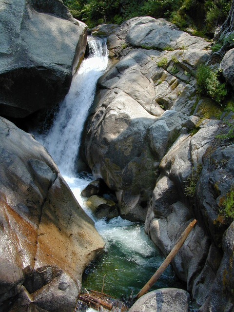
Driving the distance on Mineral King Road, the wonders abound on every curve. Wildlife, waterfalls, water flowing and the dense forests.

Atwell Mill Campground is located at an old wood mill site and has a good hike to a footbridge at Kaweah River. There is a small cabin community called Silver City which caters to summer crowds and family campers. Only open during the warm season.

At the very end of Mineral King Road is the gravel parking. Step out into high elevation (7830′ above sea level), breathe deep and enjoy the granite bowl of alpine bliss with creeks, meadows, wildflowers, picnic spots, hiking trails and scenery everywhere. Mid day sunshine can be bright. Black bears and marmots are very common.

Cold Springs Campground is the last developed campground, located next to a raging creek. The hike-in sites are the best choice for seclusion at this camp.

South Fork Campground is the smallest of the campgrounds in this area; located in the foothills at 3600′ elevation, open all year. From Highway 198 (W of the town of Three Rivers), take South Fork Drive 13 paved miles to camp.
KaweahFalls

mineral king backpacking

Mineral King is a favorite destination among backpackers as it gives instant access to many high country trailheads with mostly paved road driving. Located deep in the forest at end of a long road, near the center of the Sierra Nevada range gives ample hiking in every direction. The hikes are steep and challenging, but the rewards are solitude, true wildness and grandeur scenery. Although inviting, these steep passes might not be adequate for beginner backpackers, so please keep that in mind when planning. Fishing lakes, day hikes, horseback trails, waterfalls, creeks, and jagged mountain peaks.

From Mineral King you can access the these popular spots – PCT, the Great Western Divide, the Golden Trout Wilderness, Sequoia National Park, Kings Canyon High Country, Keasarge Pass, John Muir Wilderness.

top maps for the region –
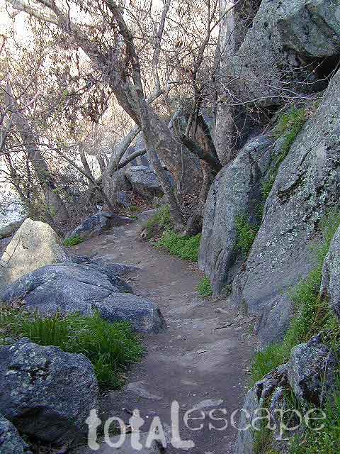
Ponderosa Flat Campground

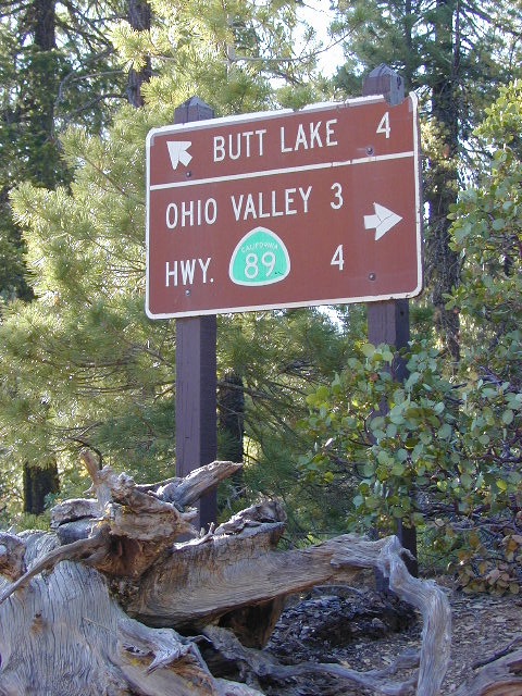
Butt Lake California
Ponderosa Flats Campground

DSCN0101

Lake Camping NorCal

RV camping, tent camping, fishing, hiking, swimming, boat launch, handicap accessible.

Ponderosa Campground – PG&E Campground,  located 3 miles from Lake Almanor

Tucked away off the main drag of Plumas Hwy 89. North end of Butt Valley Reservoir on east shore. Turn off about 6 miles northwest of Lake Almanor Canyon Dam on Hwy. 89, take Butt Valley Road south for 3.2 miles.

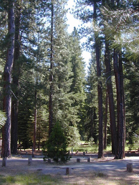
Set in a Ponderosa Pine forest along the shores of Butt Lake, part of a system of reservoirs formed by hydro-electric dams managed by Pacific Gas & Electric.  Lake levels can change rapidly with minimal warning.
DSCN0117

Quiet lake in California: No water skiing, jet ski or race boats; only small motorized fishing boats.  Canoeing, kayaking and sail boating are also popular lake recreation. Off road areas nearby.

• Elevation: 4,150′
• Number of Sites: 63
• Camping Reservations: Yes
• Sites Available: Reservations; First come, First serve
• Vehicle Accessibility: Vehicle 32 ft. max. No RV Hookups
• Length of Stay: 14 Days
• Water: Piped; lake
• Toilet: Vault
• Season: Closed for winter, Nov-April
• Fee: Yes
• Operated By: PG&E
• Closest Town: Lake Almanor, CA

Pacific Gas & Electric
Almanor Ranger Station
916-386-5164

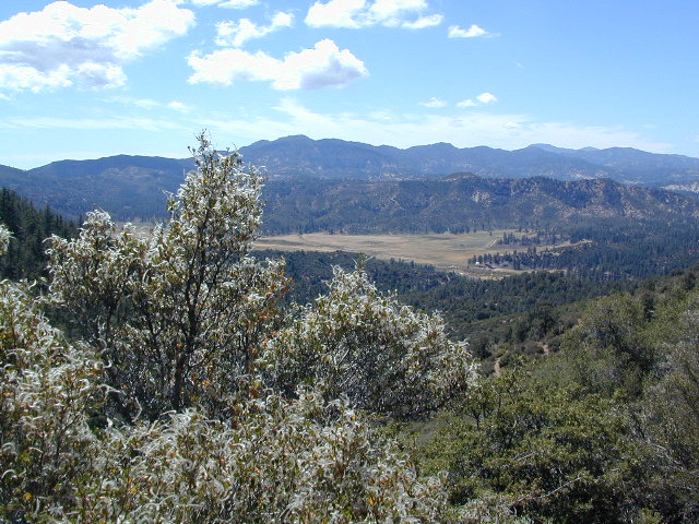
Ohio Valley Route
The alternate dirt road access thru Ohio Valley is graded dirt w/ rough roads that may require 4×4 or high clearance vehicles. RVs are not advised to travel this way.

nearby destinations –

Sespe Wilderness

Sespe Wilderness & Hiking Trails

Los Padres National Forest
Campgrounds & Trailheads

Sespe Wilderness is located in the mountains W of Interstate 5, North of Los Angeles. The chaparral region lies in between Lockwood Valley and the Santa Clara River Valley (Hwy 126). Higher elevation Mount Pinos lies to north side of Sespe and Ojai Valley to the south. The infamous 4×4 Miller Jeep Trail is located on the north side near Alamo Mountain, which is also accessible via Hungry Valley.

The 2006 Day Fire burnt a good portion of the Sespe Wilderness, so you can expect to see some black and toasted areas. Sespe Creek is also referred to as Sespe River. and certain waterways may dry up during drier months. Piru Creek, Alder Creek, Aqua Blanca Creek, Tarr Creek, Mutau Creek, Snowy Creek are several worthy of note. Expect heat and high temperature in the summer & fall month, and possible campfire restrictions during extreme wildfire season.

219,700 acres
6 areas of hiking trails

Los Padres National Forest
Lockwood Ranger Station
661-245-3731

Sespe Trail Map
Sespe Trails, Tom Harrison Topographic Map

Sespe hiking trailheads located at –

Highway 126 – Fillmore, CA
Sespe Condor Sanctuary – Dough Flat Trailhead

Highway 150 – Ojai, CA
Sisar Canyon Day Hike / Road #4N15

Highway 33 – Ojai, CA
Rose Valley Road #6N31, Rose Valley Falls, Day Hike
Piedras Blanca Trailhead for the National Recreation Trail
Pine Mountain Rd # – Reyes Peak Trailhead

Lockwood Valley Road – Frazier Park, CA
Reyes Creek, Camp Shiedeck – Pine Mountain Trailhead
Half Moon Mutau Flat Trailhead, Sespe Hot Springs

Interstate 5 Tejon Pass @ Hungry Valley
Hard Luck Trailhead


rd7N03

Los Padres Campgrounds near Sespe Wilderness

  • Frazier Park Camping
  • Ojai Campgrounds
  • Twin Pines Campground, Road # 18N01
    Alamo Mountain via Hungry Valley OHV
  • Lockwood Creek Campground
  • Half Moon Campground, Lockwood #7N03
  • Thorn Meadows Campground, Lockwood #7N03
  • Dome Springs Campground, Lockwood #8N40
  • Reyes Creek Campground, Lockwood Valley Rd
  • Pine Mountain Road @ Reyes Peak (dispersed)
  • Nettle Springs Campground, Cuyama Hwy 33
  • Ozena Campground (closed)letswalk
  • Tinta Campground, Hwy 33
  • Rancho Nuevo Camp, Hwy 33
  • Rose Valley Campground, Hwy 33
  • Wheeler Gorge Campground, Hwy 33


nearby parks & lakes –

nearby towns –

Backpackers at Sespe Hot Springs

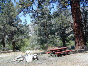
Dome Springs Campground

Domesprings

Los Padres NF – Frazier Park Camping

Dome Springs Campground

Los Padres Forest Rd #8N40

North of Lockwood Valley Rd. 20 miles W of Frazier Park, CA

Free, small campgrounds are abundant inside the Los Padres. Pinyon pine forest & a wide high desert wash, steep canyons and mountain wilderness. Kern County’s highest peak sits nearby @ Mount Pinos 8831′, with neighboring Mount Able 8286′ directly west of Pinos. Peak to Peak hike is a popular attraction for day hikers and backpackers alike.

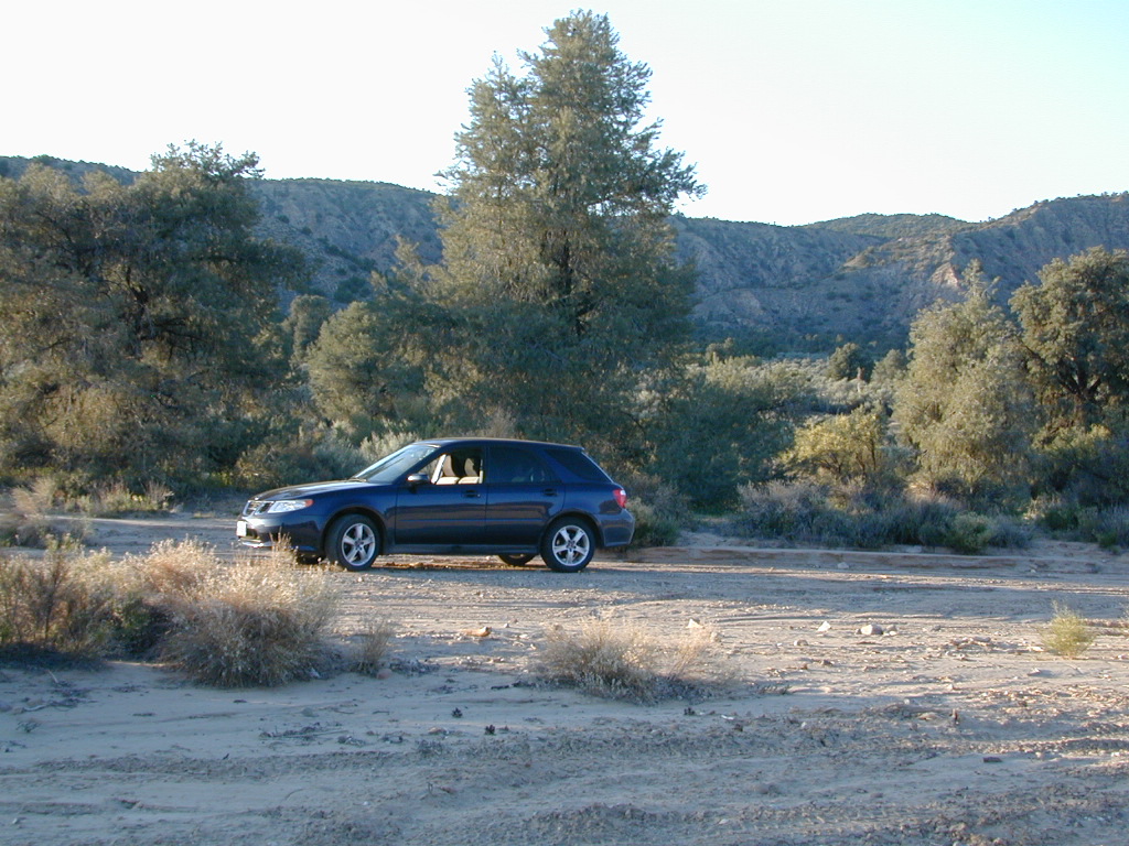
Saabaru Off-Roader

Lockwood Valley Camping

free campground  / badlands terrain

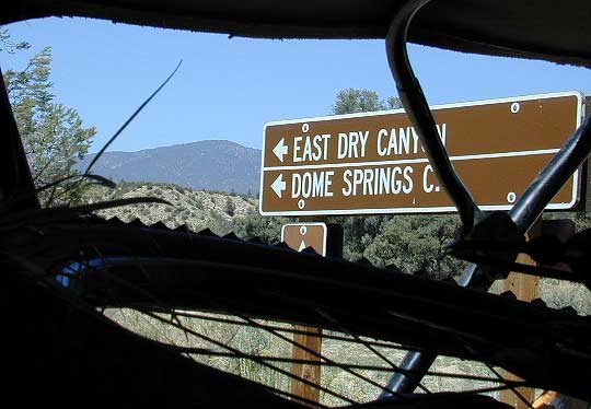
When mountain winter temps set in (around the holiday season), camping overnight in the low lands might be more appealing. Domesprings is a perfect camp spot for car campers, off roaders, hunters or even mountain bikers. OHV trails, target shooting areas are abundant, as well as hiking and stargazing opportunities. The main wash is called Dry Canyon, which is nice when there has been some mild rain for minimal dust. No motor bike, vehicles or bicycles in the neighboring Chumash Wilderness, which borders this region on the north next to Mt Pinos.
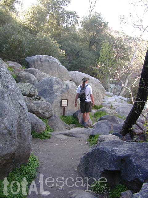
Dome Springs – Dry Canyon main access road #8N40 can be sandy at times and 4×4 might be needed to reach camp during drier months. Snow or wet weather might also pose a problem with this road, so always check weather and call the rangers ahead of time to find out current road conditions. Most of the time you can get back here with a low rider passenger car.

Elevation: 4,585′
Number of Sites: 4
Camping Reservations: No
Sites Available: First come, First serve
Vehicle Accessibility: small RVs
Length of Stay: 14 Days
Water: No Piped; seasonal creek iffy
Toilet: Vault
Season: Open all year
Fee: No
Operated By: National Forest Service
Closest Town: Frazier Park, CA

Los Padres National Forest
Lockwood Ranger Station
661-245-3731

camp

2 other big washes off this mountain ridge are –

Apache Canyon Road #8N06Nettle Spring Campground, running to the west.

Quatal Canyon Road #9N09Toad Spring Campground, running to the west.


litterlogs_med

Indian Flats Campground

Temecula Camping / Warner Springs Campground

San Diego Mountains – Cleveland National Forest

Indian Flats Campground

Indian Flat Campground is located on the seasonal San Luis Rey River in rural North San Diego County.  From I-15 @ Temecula, CA travel eastbound on Highway 79. Look for the tiny turn off  (on left side) for forest road #9N05, sorta near glider airport located west of Warner Springs. This poorly paved backcountry route (half dirt/mud at times) is also known as both Indian Flats Road or Lost Valley Road.

Graded dirt road (paved in some portions) travel is approximately 6.5 miles to campground, look for gate and turn off on the left side. When you see the giant boulder near the entrance, you’ll know you’ve made it to the right place.

Oak trees and a few pines, plenty shade, boulders and mountain scenery, this is a great small campground that is well away from everything in Southern California.  Seasonal creek-sized river and boulder waterfall often dries up in late summer. This means a wet spring is the best time to visit this camp. Hiking, mountain biking trails and hammock spots. Pacific Crest Trail access.

Cleveland National Forest
Palomar Ranger District
760-788-0250

ClevelandMap_07

Elevation: 3,600′
Number of Sites: 17
Camping Reservations: None
Sites Available: First come, First serve
Vehicle Accessibility: Length 15′ max.
Length of Stay: 14 Days
Water: No Piped; Seasonal creek nearby
Toilet: Vault
Season: Closed for mud & snow during winter months
Fee: Yes
Operated By: National Forest Service
Closest Town: Warner Springs, CA

Indian Flat
Indian Flat Campground Entrance

Lily Pad Campground

Lilypad Campground @ Lake Wishon Reservoir
Sierra National Forest, California

The long journey up the mountain into the Sierra National Forest is only for the true adventure seekers. First off, get a good forest map. Second, plan several days if not a full week off of work to explore this region in depth. It is a long drive from most anywhere in California, and this spot is way, way tucked back in there right up against the High Sierra peaks and wildness.

East of in Fresno, historic village of Clovis is a good lunch stop in route. Drive up mountain on Hwy. 168, turn right at Shaver Lake on to Dinkey Creek Rd. Now you will clock the mileage 28.7 miles to the camp. Drive past McKinley Grove and past Dinkey Creek. Follow signs to Wishon Reservoir. This campground is located adjacent to the road before you reach the dam.

All this travel time will have you asking ‘is it worth it’? The answer is ‘yes’….. if you want an uncrowded lake with plenty of wilderness surrounding you. Granite rock and forest all around. Lake Wishon is a hydroelectric reservoir operated by PG&E

Lily Pad Campground

Central Sierra Camping – Wishon Lake

High Sierra Rangers Office: 559-855-5355

• Elevation: 6,500′
• Number of Sites: 15
• Camping Reservations: No
• Sites Available: First come, First serve
• Vehicle Accessibility: 35′ limit on RVs & trailers
• Length of Stay: 14 Days
• Toilet: Vault
• Water: Piped
• Season: Closed in Winter Snow
• Fee: Yes

camp sites at lake

Large granite boulder coves provide cubby-hole privacy w/ shady trees and well spaced camp sites. Very unique design with paved driveways, adequate for handicapped camping with some sites with better access than others. 4 camp sites are considered walk-in sites.

Lake views from camps are only a mere climb up to the top of the nearest granite, which will show you just how close you are sleeping to the big water.

As with any Sierra location, holiday and summer weekends are the most busy. Tourists, family campers and RVers are all out enjoying the sunshine. Mid-week camping is good for fishing, relaxing w/ peace and quiet. Off season is best for having the place to yourself.

Outdoor recreation in the area include – hiking, camping, backpacking, rock climbing, mountaineering, sightseeing, kayaking, canoeing, mountain biking, off-roading, creek fishing, lake fishing.
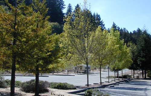
 

Neighboring Wishon Village has a small general store, RV park w/ wifi & boat rentals.
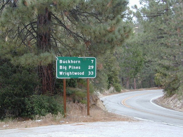
 

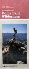
Dome Land Wilderness

Southern Sierra Nevada Mountain / Domeland / Dome Lands
Kern Plateau, Sequoia National Forest

Dome Land Wilderness

130,081 acres

55 miles of trails (hiking & horseback)

Located at the southern end of the Kern Plateau about 20 miles east of Kernville, granite domes give this area its name. Domeland Wilderness is a unique geologic area with semi-arid to arid mountainous regions. Elevations ranging from 3,000′ to 9,730′ – it is surrounded by National Forest, where the Sierra mountains meet the North Mojave Desert. The Wilderness is the southernmost habitat for the Golden Trout. The South Fork of the Kern and tributary streams attract many fishermen. Vegetation is mostly mixed conifer and piñon (pinyon pine).

The Domeland Wilderness is located at the southern end of the Kern Plateau. This land was first protected by the Wilderness Act of 1964 as a 62,695 acre wilderness and was later expanded to 130,081 acres in 1984 to include the delicate transition ecosystems that meet to the east, south, and north of the original wilderness. These new additions, now jointly managed by the Bureau of Land Management and Sequoia National Forest, are rugged and dry.

Though it is considered within the Sierra range, the Domeland Wilderness includes the overlap of several ecosystems to form unique plant and animal communities. The banks of the South Fork of the Kern River offer important riparian habitats of cottonwoods and meadows which stand in sharp contrast against the characteristic smooth domes and bold granite outcroppings. Domes that range from the size of a cottage to football fields across and spear-like jagged spires can be found in the Domeland. This range is one of the driest in the Sierra with the semi-arid mountains of the north and east crumbling into desert.

Notable Wildfires: Dome Fire 1996. Manter Fire in 2000.

Dome Land trailhead locations:

East side access near Rockhouse Meadow and at the Long Valley Campground (BLM). Access is via Nine Mile Canyon Road (J41) from US Highway 395 or Chimney Peak Road (graded dirt road) via State Highway 178 , the main route that passes Lake Isabella.

West side trailheads are at Big Meadow and Taylor Meadow. Two trails from Big Meadow can be reached from Kernville via Tulare County Road M99, Sherman Pass, and Cherry Hill Roads. Leading to Manter Meadow, the upper Big Meadow Trail is a rugged hike while the lower Big Meadow Trail follows more gentle terrain. The trail from Taylor Meadow (southeast of Big Meadow) also leads to Manter Meadow. North side access is available from the Blackrock/ Sherman Pass Road via the Dark Canyon and Woodpecker trails.

dome land mapManter Meadow is popular along with other camp sites located at Little Manter Meadow, Woodpecker Meadow, Rockhouse Meadow, and in the Bartolas Country at the south end of the Wilderness.

Dome Land Wilderness Map USDA


surrounding lands & forests –

Sequoia National Forest
Ridgecrest Desert BLM

nearby towns –

National Forest & Wilderness Permits –

USDA Sequoia NF

More Dome Land Wilderness Info & Links –

sierrawild.gov/wilderness/domeland
summitpost.org/domeland-wilderness
Dome Land Wiki

Miracle Hot Springs

MIRACLE HOT SPRINGS on Lower Kern River is now closed!

Kern Soakers

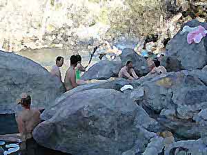
Hidden well by the dense vegetation, this multi-tub location provides a peaceful setting along the Kern River. Located on the Old Kern Canyon Road, (aka Old Kern Road) that parallels the main 4-laner Highway 178. The broken and dismantled tubs are inside a grouping of granite boulders, overlooking the Lower Kern River.  NFS Campground is walking distance away. Week days you can have the place to yourself for picnics, river fishing and hiking. Mountain biking and hiking trails at Remington trailhead.

DanaMite’s Tip: This place has no operating hot pools unless you plan to physically dam up a tub with a few found rocks. Rangers do not like this practice. If you wanna camp at Hobo Campground you can walk over & hike around to check it out. Worth a look.

Camping available next door at Hobo Campground. A few primitive spots are located on the Old Kern Canyon Rd. Free car camping, and some sites big enough for level RV camping. See the rangers at the Sequoia Mapslake for Sequoia National Forest ranger and fire permit and check fire current restrictions.

Remington Hot Springs is only 2 miles down river, but it does require a short hike and it gets very busy on weekends!

nearby towns:

Bodfish, CA
Kernville, CA
Lake Isabella, CA
Wofford Heights, CA
Alta Sierra, CA

San Francisco RV Park

RV Campground San Francisco / RV Camp Ground

San Francisco RVing

Beach RV Park
2505 Portola Dr
Santa Cruz, CA
831 462-2505

Betabel RV Park
9664 Betabel Rd
San Juan Bautista, CA
800-278-7275
831 623-2202

Candlestick RV Park
650 Gilman Ave
San Francisco, CA
800 888-2267
415 822-2299

Costanoa Coastal Lodge & Camp
2001 Rossi Road @ Hwy 1
Pescadero, CA
650 879-1100

Coyote Valley RV & Golf Resort
9750 Monterey Rd
Morgan Hill, CA
866 376-5500
408 463-8400
San Jose, CA

Marin Park
2140 Redwood Hwy.
Greenbrae , CA
888 461-5199

Novato RV Park
1530 Armstrong Ave
Novato, CA
800 733-6787
415 897-1271

Olema Ranch Campground
Point Reyes National Seashore
10155 Highway 1
Olema, CA
800 655-2267
415 663-8001

Parkway Lakes RV Park
100 Ogier Ave
Morgan Hill, CA
408 779-0244

Pinto Lake Park
451 Green Valley Rd
Watsonville, CA
831 722-8129

San Francisco RV Resort
700 Palmetto Ave
Pacifica, CA
877-864-2728
182 sites

Santa Cruz Ranch RV Park
917 Disc Dr
Scotts Valley, CA 95066
877-864-2728
Full hook up, pull-thru sites

Saratoga Springs Park
22801 Big Basin Way
Saratoga, CA
408 867-3016 x824

Trailer Tel RV Park
1212 Oakland Rd
San Jose, CA
408 453-3535

Treasure Island RV Park
1700 El Camino Real
South San Francisco CA
650 994-3266

see also –

Angeles Campgrounds

Camping Los Angeles – Angeles Crest Camping

Angeles Crest Hwy CA 2

campground elev spots veg toilet water notes
Appletree Campground 6,200′ 8 pines vault piped Big Pines Hwy
Basin Campground 3,400′ 15 CLOSED
Bear Campground 5,200′ 15 vault no
Big Rock Campground 5,000′ 8 vault crk sm RV, 4WD
Blue Ridge Campground 8,000′ 8 pines vault no May-Nov, sm RV
Buckhorn Campground 6300′ 40 pines vault no May-Nov, sm RV
Cabin Flat Campground 5,300′ 12 vault no CLOSED
Cienaga Campground 2,100′ 12 oaks vault no May-Dec
Coldbrook Campground 3,350′ 22 vault piped sm RV
Cottonwood Campground 2,600′ 22 vault no
Guffy Campground 8,300′ 6 vault no May-Nov, 4WD
Horse Flats Campground 5,700′ 25 pines vault no April-Nov
Jackson Lake Campgr 6,100′ 8 pines vault summer May-Dec
Live Oak Campground 2,000′ 7 oak CLOSED
Manker Flats Campground 6,000′ 21 flush piped sm RV
Messenger Flats Camp 5,500′ 10 pines vault no Corrals, April-Nov
Millard Campground 1,900′ 5 oaks vault no Altadena, Chaney Trail
Monte Cristo Camp 3,600′ 19 oaks vault piped RV, Hwy 2, N3
Mount Pacifico 7,100′ 7 pines vault no May-Nov
Mountain Oak 6,200′ 17 oak flush piped May-Nov
Peavine Campground 6,100′ 4 vault piped Big Pines Hwy
Prospect Campground 2,100′ 22 CLOSED
Rocky Point Camp 3,400′ 3 vault summer
Sage Campground 3,400′ 4 vault no Cheseboro Rd
Sawmill Campground 5,200′ 8 vault no sm RV
Soledad Campground 2,000′ 6 CLOSED
South Fork 4,500′ 21 oaks vault no May-Nov, sm RV
Spring Camp 4,700′ 3 vault no Rincon-Shortcut Route
Spunky Campground 3,300′ 10 vault no
Streamside Campground 2,500′ 9 vault no poison oak
Sycamore Flats 4,200′ 11 vault summer sm RV
Upper Shake 4,400′ 18 vault no May-Dec.
Zuni Campground 1,700′ 10 vault no

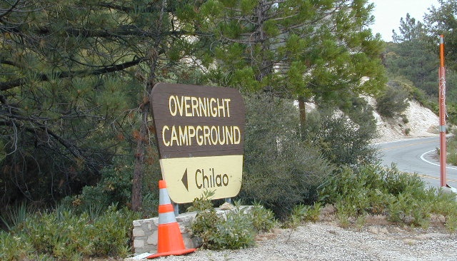
Chilao Campground

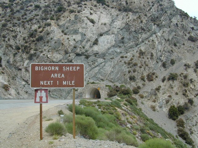
tunnel angeles crest

nearby towns –

Angeles Maps – hiking, OHV & mountain biking –

Monterey Campgrounds

Monterey Bay Campgrounds

Monterey Beach Camping

The Monterey Bay of California is located south of the San Francisco peninsula, and north of the rugged Big Sur Central Coast. This is a popular region for tourism, coastal villages w/ shops and restaurants, parks and beaches, farms and farm stands.  With Santa Cruz mountains and redwoods as the backdrop, this coastline is also highly residential.

Camping along this coast is limited mostly to State Parks and few private RV park campgrounds. No primitive beach camping is allowed on State Beaches, no hike-in camp sites, no hidden cove tent sites, nor secret dirt roads with views over the Pacific. This is a very developed beach and bay, with the 4-lane freeway, main artery US Highway 101, bordering the entire shore.

If you are looking for free and a more rugged, scenic camp – head south to the Big Sur Coast, to find a dirt road camp on the ridge. The sweetest ocean view hike-in camp sites can be found to the north, in the Marin Headlands of Point Reyes, which can be found under Marin Camping.

blue links lead to State Park pages w/ camp reservations.camp

Monterey Area Campgrounds

(listed from south to north)

Monterey Pines RV Campground (Navy)

Monterey County Fairgrounds RV Park

Marina Dunes RV Park

Sunset State Beach State Parks
South Campground

Manresa State Beach State Parks
Uplands Campground

Seacliff RV Park

Seacliff State Beach Campground State Parks

New Brighton State Beach State Parks

Santa Vida RV Park, Santa Cruz, California

Costanoa Coastal Lodge & Campground, Pescadero

Pelican Point RV Park, Half Moon Bay

Half Moon State Beach State Parks
Francis Beach Campground

camping monterey

woods

seaside towns along coast at
Monterey Bay up to San Francisco –

(listed from south to north)

4×4 Rock Crawling

poppin

Rock Crawling has gained massive exposure in the two last decade with new suspensions, after market part for nicer rigs & of course, the main stream media. Red Bull, Skyjacker & other corporate sponsors have dug their hands into this new sport & the profits.

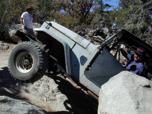
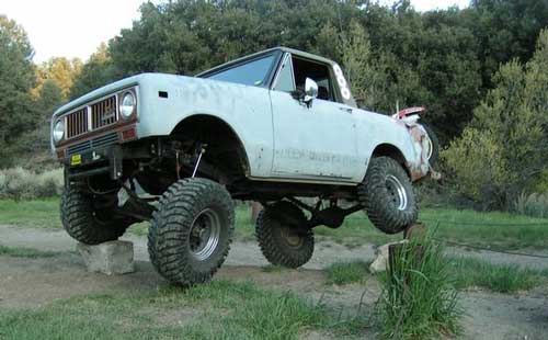
Crawlin’ is the off road hobby of wheelin’ well built rigs over the rocky terrain and obstacles, instead of around it. Sandstone walls, granite boulders of the High Sierra, hand made “rock gardens” in the Mojave, practice runs @ the local OHV parks.

Breaking things is the norm in this game. Expect this past time addiction to cost a bundle – on auto parts & on your free time. On the trail repairs are common, so go prepared w/ your tools, overnight gear & your crawling buddies (as back up).

From the adventure lands of Moab, Utah to the Mojave Desert of SoCal, rock crawling is not about speed, but all about the delicately chosen lines & slowness. The technique, the rigs & preferably no body damage. Just get rid of the body!

How slow can you go? How high can you handle?

Popular rock crawling areas around the Southwest U.S. –

California OHV Trail Maps

OHV Routes, Motorcross & ATV Maps

local boys Los Padres

Partington Cove Hike in Big Sur

Big Sur – Partington Cove

DSCN3026
Go west to & visit the oceans edge or head east to explore a deep redwood canyon.big

Approx. 5 miles South of Big Sur State Park and just north of Julia Pfeiffer Burn State Park, this unmarked dirt turnout area on Highway 1 is a rare find. Rocky shorelines at the historic point, plus the scenic tree lined waterfall & cross the highway & head east for a shady Redwood canyon forest with plenty of backpacking options into the Big Sur back country of Los Padres National Forest. From bright sunny ocean view hillsides to dark shady forests.

This portion of the highway cuts into a deep bend along the coast & has no markings to the paradise that lies within. A steep dirt fire road (down to the cove) with metal gate is your only clue. Dirt parking area on both sides of the road indicate that people have parked here before.

This un-signed secluded hide-away has a variety of landscape & sites to see. You could easily kill 6-8 hours just in this canyon alone!! Definitely not a hurry through kind of place. Take your time, enjoy the view, tide pools, bring your swim suits & refresh in the creek. Carry a picnic eastbound into a shady creek-bed canyon & watch the sun dance through the towering pines above.

Driving northbound on Highway 1, look for large hair-pin turn out in canyon area – approx. 3-5 mi. North of Julia Pfeiffer State Park in wide dirt areas along roadside. Located in between Julia State Park & Pfeiffer Big Sur State Park.

Hike down the dusty wide gated fire road in dry brush chaparral. The view of Redwood trees, the royal blue ocean in front of you, the sounds of a water falling creek. The trail forks off in 3 directions:

Right / Rock Beach – this a boulder lined cove where the clear fresh water stream meets the ocean. Small pools & waterfalls can be found just upstream .

Bridge Crossing / Point – through a wooden tunnel to a cliff area with tide pools & wooden structure (an old boat launch?)

Left / Up Stream – a forested canyon w/ a variety of trees; dead ends a few hundred yards up into the canyon

DSCN3021Another option to this canyon is the East side:
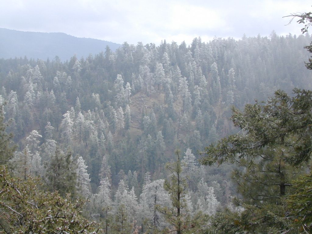
Hike up inland (away from ocean) into a densely forested creek area. Redwoods, waterfalls & boulders. Deer sightings are quite common in this area. Shady & dark this trail climbs gradually in elevation. One fork of the trail leads to an old Redwood Grove. A portion of the trail is closed 2.5 mi. up due to a landslide. But overall the is a perfect option for backpackers wanting a short hike.

  • Los Padres Maps (USDA)
  • Big Sur Map (NatGeo)
  • Ventana Wilderness Map w/ Silver Peak
  • Los Padres Camping

    Los Padres Campgrounds
    Big Sur, Mount Pinos, Ojai, Santa Barbara, Santa Lucia

    Forests

    Los Padres National Forest campgrounds span the length of the California Central Coast, from the Monterey Bay to Los Angeles County. Choose a desired area:

    Big Sur Campgrounds

    Frazier Park Camping

    Mount Pinos Campgrounds

    Ojai Camping

    Santa Barbara Camping

    Santa Lucia Camping

    Bottcher Gap Campground
    Lush coastal campground is Bottchers Gap near Big Sur, CA

    Los Padres National Forest

    see also Los Padres Group Campgrounds

    maps of the Los Padres regions –

    Los Padres nearby towns & cities –

    Pine Mountain Club from ridge
    Pine Mountain Club from ridge