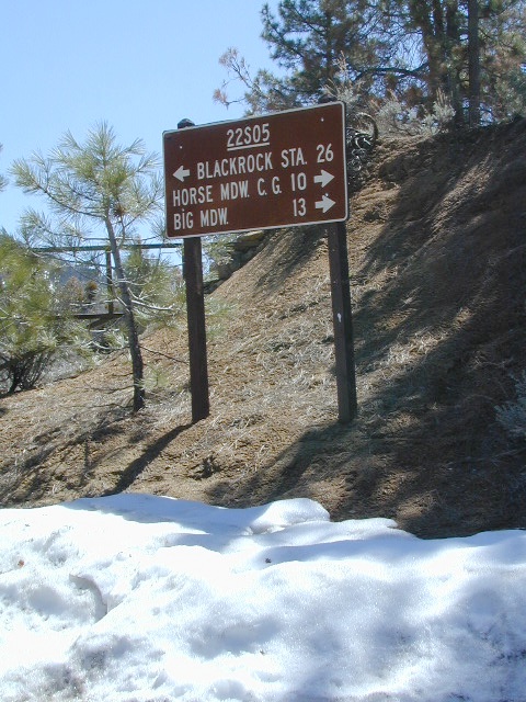
Sherman’s Pass Road: J41 Mojave to Kern River, Sequoia Forest Rd# 22S05

Sequoia National Forest
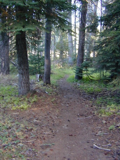
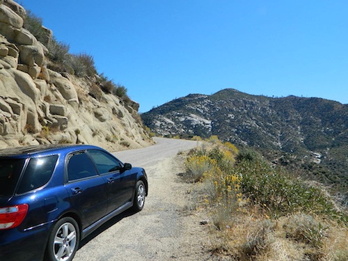
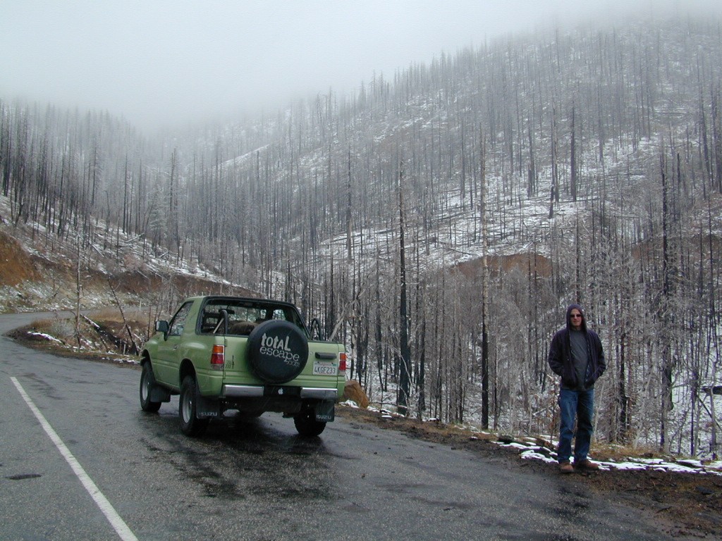
This paved Southern Sierra highway (aka J41, off US 395) is a paved route through the eastern portion of the Sequoia National Forest. A curvy mountain corridor which crosses over the forested plateau and also the South Fork of the Kern River. This road skirts the Domeland Wilderness & the South Sierra Wilderness. The PCT (Pacific Crest Trail runs across it as well, near Kennedy Meadows.
East side of Sequoia National Forest, the Kern Plateau meets the Mojave desert w/ BLM Camping & Inyo National Forest.
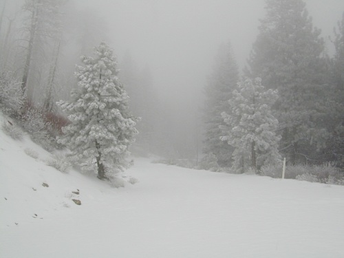
The Sherman route connects the Kern River, near Fairview to Kennedy Meadows & closes for snow in winter months. There are plenty seasonal creeks, meadows & forests in this region. Elevations range from 4000′ near the Kern River to 8000′ at Black Rock Station.

BIG MEADOW
Horse Meadow Campground
Long Valley Campground
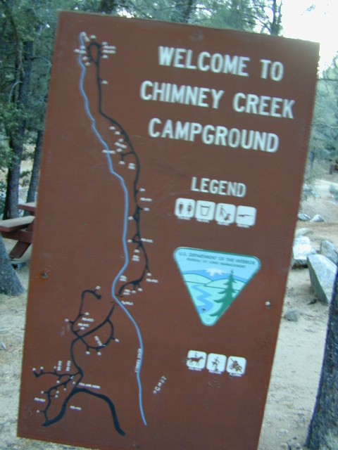
Chimney Creek Campground
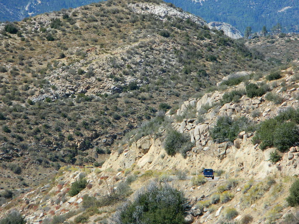
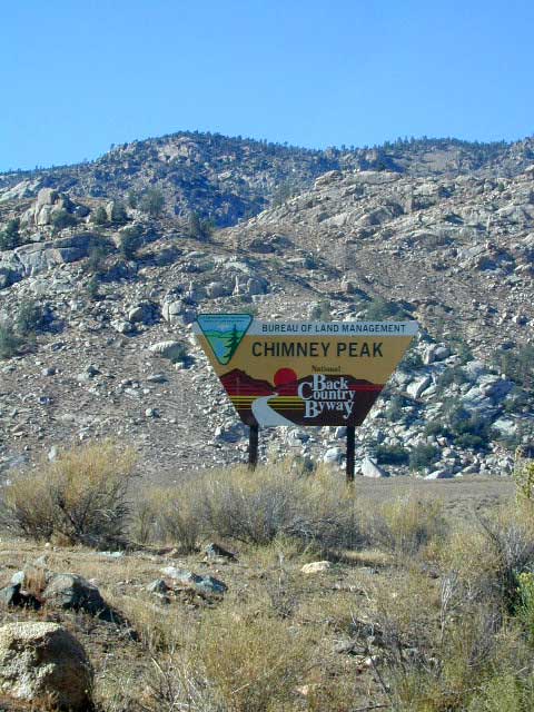
Chimney Peak Backcountry Byway
Bald Mountain Fire Lookout is an excellent stop for sightseeing over Domeland Wilderness. Access it via dirt road# 22S77, access to tower is a rough and rocky, steep road which may require 4WD.


USFS Ranger Stations:
- Black Rock Station
760-376-1666 - Kernville Station
760-376-3781
Campgrounds along Sherman’s Pass Road include –
- Rincon Camp (primitive campsite) – just up from Brush Creek & Kern River; Rincon Trail #33E23 runs North/South near here.
- Big Meadow / Horse Meadow Campground
- Troy Meadows Campground
- Fish Creek Campground
- Kennedy Meadows Campground

nearby towns:
CALIFORNIA HOT SPRINGS
FAIRVIEW
KENNEDY MEADOWS
KERNVILLE
PONDEROSA
RIVERKERN


 The infamous Pacific Crest Trail passes close to Long Valley Campground, but