Tag Archives: closures

22S05 – Sequoia NF

Sherman’s Pass Road: J41 Mojave to Kern River, Sequoia Forest Rd# 22S05

NFSlogo

Sequoia National Forest

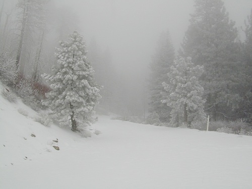
sherman snows
Snow closes Sherman’s Pass Road annually

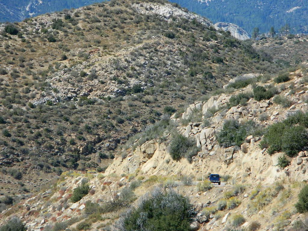
This paved Southern Sierra highway (aka J41, off US 395) is a paved route through the eastern portion of the Sequoia National Forest. A curvy mountain corridor which crosses over the forested plateau and also the South Fork of the Kern River. This road skirts the Domeland Wilderness & the South Sierra Wilderness. The PCT (Pacific Crest Trail runs across it as well, near Kennedy Meadows.

East side of Sequoia National Forest, the Kern Plateau meets the Mojave desert w/ BLM Camping & Inyo National Forest.
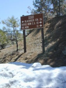
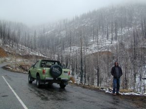
22s05 snowy
The Sherman route connects the Kern River, near Fairview to Kennedy Meadows & closes for snow in winter months. There are plenty seasonal creeks, meadows & forests in this region. Elevations range from 4000′ near the Kern River to 8000′ at Black Rock Station.

camp

BIG MEADOW
Horse Meadow Campground
Long Valley Campground
Chimney Creek Campground
Chimney Peak Backcountry Byway

Bald Mountain Fire Lookout is an excellent stop for sightseeing over Domeland Wilderness. Access it via dirt road# 22S77, access to tower is a rough and rocky, steep road which may require 4WD.

hiker

Steep Grades

ranger

USFS Ranger Stations:

  • Black Rock Station
    760-376-1666
  • Kernville Station
    760-376-3781

Snowy Springs

Campgrounds along Sherman’s Pass Road include –

  • Rincon Camp (primitive campsite) – just up from Brush Creek & Kern River; Rincon Trail #33E23 runs North/South near here.
  • Big Meadow / Horse Meadow Campground
  • Troy Meadows Campground
  • Fish Creek Campground
  • Kennedy Meadows Campground

westbound

mountains

nearby towns:

CALIFORNIA HOT SPRINGS
FAIRVIEW
KENNEDY MEADOWS
KERNVILLE
PONDEROSA
RIVERKERN

Wilderness Lakes

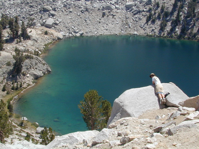
Lake Genevieve
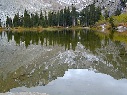
Lake Genevieve, hike-in only access. Way up behind Convict Lake @ Mammoth Lakes, CA

calif lakes / secluded lakes / loop hike around lake / best lake in california / lake elevation / geology lakes / alpine lakes

hike-in lakes

Wilderness lakes are as pure as it gets. No cattle, no roads nearby. Snow melt, cool days, good fishing, great mountain scenery, granite, fresh air & clean water. You have to really wanna reach them. You must physically WORK to get to these remote alpine wonderlands – hike, bike, or horseback.

Heart Lake
Heart Lake, near Onion Valley & Kearsarge Pass

Some lakes are accessible via a day hike, with miles of forest trails or granite switchbacks in between. Waterfalls, wildflowers and wildlife will keep you entertained, as you enjoy your trek. No rush, no pressure; Go slow and take it all in. Remember, it’s not a race!

Most people prefer to backpack in to these locations and stay a while. Why not? These puppies are ACCESSIBLE only a few months outta the whole year. May as well enjoy them while you can. The rest of the time they are frozen solid or buried with serious snow. Wilderness areas do not allow dogs nor mountain bikes on trails, so plan accordingly.

camp, fish, hike, horseback, swim

California is lucky to have hundreds of lakes within protected wilderness areas. Almost all are gorgeous and have very limited access. While we haven’t yet been able to hike every Wilderness in Cali, we will leave you with the visuals and links, plus a way to buy the specific topo maps.

California Wilderness Lakes

Ansel Adams Wilderness

Bucks Lake Wilderness

Carson Iceberg Wilderness

Desolation Wilderness

Granite Chief Wilderness

Emigrant Wilderness

Hoover Wilderness

John Muir Wilderness

Lassen National Park

Mokelumne Wilderness

Monarch Wilderness (Kings Cyn)

Jennie Lakes Wilderness

Thousand Lakes Wilderness

Trinity Alps Wilderness

Yosemite National Park

wild California


HIGH ALTITUDE LAKES:
4000′ elevation to 14,000′ elevation

snowflake

SEASONAL deep SNOW makes many of these beautiful lakes inaccessible for more than half the year. Call ahead to local rangers to make sure your desired destination is indeed open for traffic. Certain locations may require snow shoes, snowmobile or a 4WD to access.

Forget the hike!

If you are seeking a remote mountain lake that you can drive to, you will need to search for one that has the fewest people. A high clearance vehicle will help you exit the tourist traps, via plenty of the back roads. Some dirt roads are acessible with just a passenger car or AWD wagon. Talk to the ‘field ranger’ for up-todate road conditions and closures.campfires Make sure to get a campfire permit, before you camp outside of developed campgrounds. Always steer clear of crowded, holiday weekends.

Juniper Lake Table
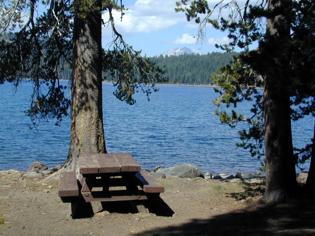
Juniper Lake – Lassen NPS

California LAKE LIST

The lake list above samples most of the lakes in California. For secluded locations and rare finds (accessible by vehicle), see the list below and follow links for more info.

fernlake
Fern Lake – hike in access, June Lake Loop Hwy 158

More California regions with pristine lakes, but not dubbed Wilderness:

turtleandfriend
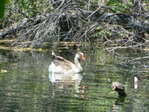
Turtle and Friend, Junction City, CA
Sunrise Lakes
Sunrise Lakes, Yosemite Loop Hike


Sierra Road Conditions

Sierra Nevada Road Conditions – Highway California

Snowy RoadsWinter Snow/ Winter Roads Sierra Nevada:

On rare occasions the Golden State freeway – Interstate 5 can be closed due to snow; N of Valencia on the Grapevine (near Lebec) or more likely up in NorCal (near Shasta).

Interstate 80 (aka Donner Pass) is often closed during big storms. Luckily there are hotels in Auburn or Truckee.

Highway conditions on mountain passes higher than 4000′ elevation can be unpredictable in winter months (Oct-May). It may be fine & just sprinkling @ 2000′, but a few miles up can be a white out. Ask anyone who’s ever driven the infamous Donner Pass in winter time. (more on Donner Party)

Annual Sierra Highway Closures

Ski mountains

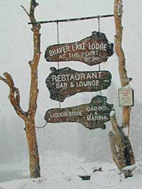
shaver lakeWhere does it Snow in California ?
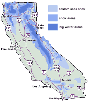
Okay, okay ….so it’s nothing like those dreaded East Coast winters, but hey, some parts of California do get some serious snow. (see elevations) And the newbies who don’t prepare for it will be sorry. On the winter vacation travels, be prepared for almost anything, especially in the Sierra’s & Northern California.
Snowy towns in California

See California Weather & Road Conditions

California Winter: When does winter actually ‘set in’ for California?

Eastern Sierra CA: OCT- MAY
Western Sierra CA: NOV- APR
High Sierra CA: SEPT- MAY
North Coast CA: OCT- MAY
Northeast CA: OCT- APR

The following mountain roads are partially closed or totally closed during winter months. Please check road conditions before you leave for your trip. Chains may be required in most mountain areas of California.

CALTRANS web site

Highway CA County Region Connecting Towns
Hwy 155 Kern Southern Sierra Alta SierraWofford Heights
Hwy 190 Tulare Western Divide Hwy Camp NelsonPonderosa CA
M 375 Tulare Sequoia NP Hammond – Mineral King
Hwy 180 Tulare Kings Canyon NP Hume Lake – Cedar Grove
Whitney Portal Rd Inyo Eastern Sierra Lone Pine – Mount Whitney
Onion Valley Road Inyo Eastern Sierra Independence – Onion Valley
Glacier Lodge Rd Inyo Eastern Sierra Big Pine – Glacier Lodge
Lake Rd Hwy 168 Inyo Bishop Area Hwy 168 – South Lake
Hwy 120 Mariposa Yosemite NP Yosemite Lee Vining CA
Hwy 120 Mono Mono Lake Lee ViningBenton Hot Springs
Hwy 108 Mono Eastern Sierra DardenelleSonora Jct. Hwy.395
Hwy 89 Alpine Eastern Sierra MarkleevilleLake Topaz
Hwy 4 Alpine South Lake Tahoe Lake Alpine – Hwy 89
Hwy 44 Shasta Lassen Volcanic NP Manzanita Lake – Mineral CA