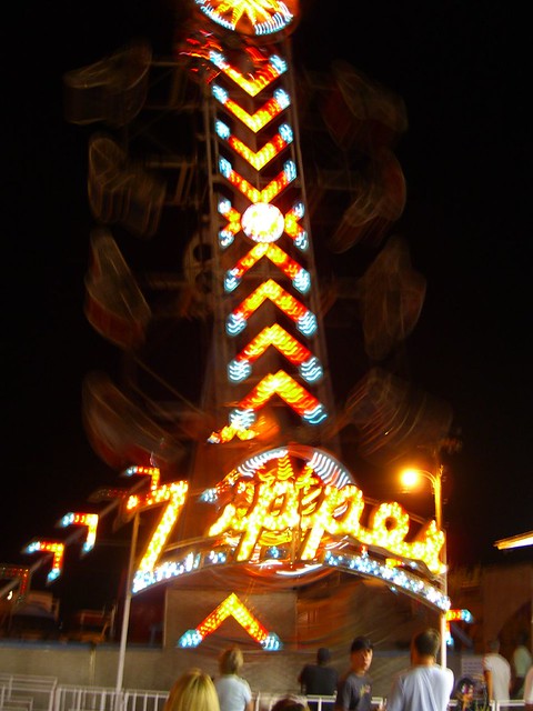
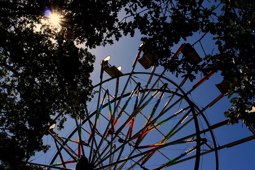
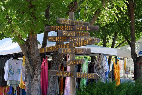
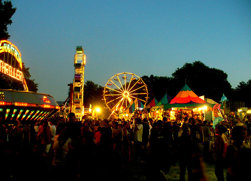
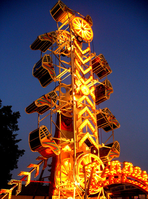
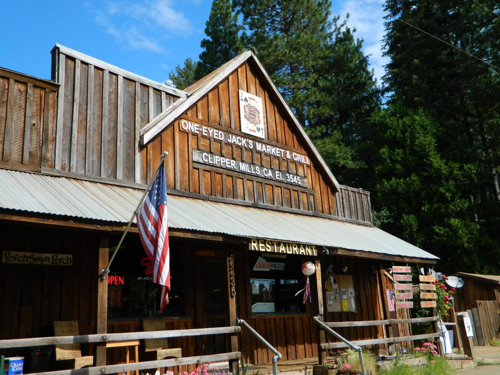
This rural county fair started in 1921 and always held in the small mountain town of Hayfork, which is east of Hwy 299 and up hill from the Trinity River @ Douglas City; Carnival rides, games, exhibits, quilt show, horse show, mule show, rodeo. It’s the biggest thing to look forward to for locals, during the summer.
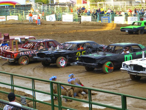
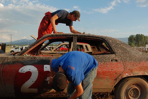
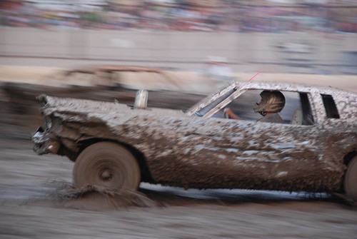
The NorCal event Lassen County Fair is held in Susanville California. Carnival rides, destruction derby, ranch rodeo, arts & craft vendors, food, & plenty local music too. This whole Northern California region is awesome for summer camping & fishing, so make a week of it & enjoy the natural scenery, outdoor recreation & this annual county fair.
California is currently the #1 travel destination in the country. Travel and tourism totals $80 billion annually in California, support jobs for a million Californians and generate $5.3 billion in state and local tax revenues.
Total Escape is the independent travel site for the golden state. We also list some other resources below.
California Guide
locals prefer…. Total Escape, California, Off the Beaten Path
A 2 month long celebration of artists on the Orange County coast. Laguna Beach host the ever popular Sawdust Festival of Arts for over 56 years. Live music on 3 stages, roving musicians & circus acts. Local artists, food & open art galleries.
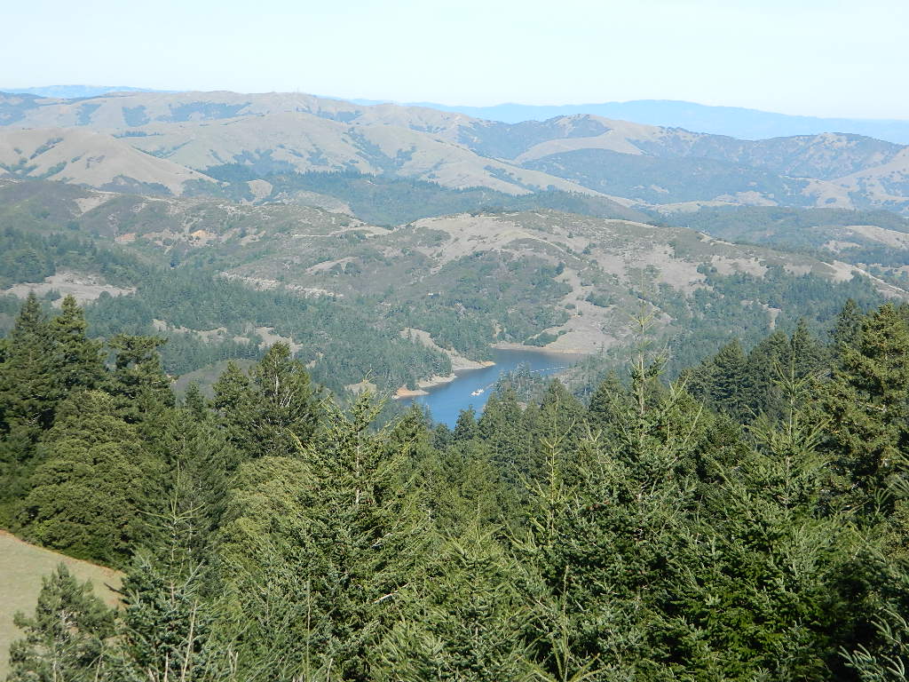
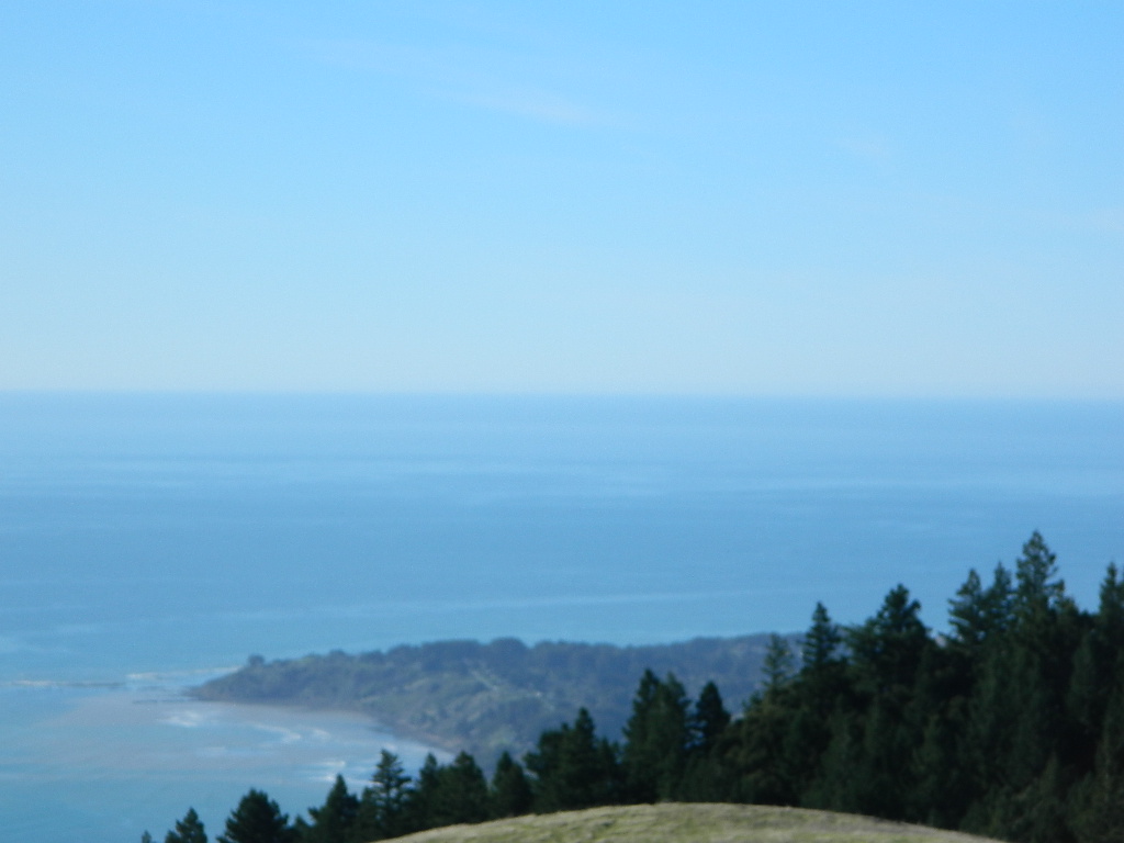
One of the most visited coastlines in the world, San Francisco – where 2 peninsulas almost meet – at the mouth of the “hidden bay”.
This is the Golden Gate to California and the Wild West.
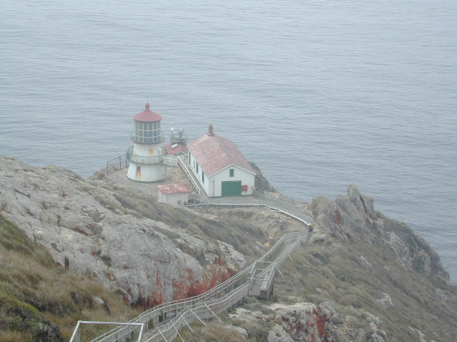
So, you wanna escape the tourist masses… and camp out, overlooking an amazing place?
(put on your hiking boots)
Pt Reyes Lighthouse
Nope, the Lighthouse doesn’t have a campground! There are no camping facilities at Muir Woods National Monument, nor Muir Beach. No camping at Stinson Beach, nor Bolinas.
The Tule Elk Reserve has no camping at all. Tomales Bay State Park no longer has car camping or RV camping available; hike-in or boat-in
camping, maybe.
What is available for campground camping on “the Point” is listed below, with phone numbers and links for more info.
Cycling, hiking, backpacking, mountain biking, kayaking and boating are all popular outdoor recreation activities.
Small towns located on the Point Reyes peninsula do have a few private campgrounds, some of which can accommodate motorhomes. Follow towns links for those.
There are no RV parks, camper trailers or motorhomes allowed in campgrounds on the steep coastal region of Point Reyes. Most of the narrow, winding roads are forbidden for motorhome travels. No shoulder, no guard rails, on many curvy roads. Great viewpoints are best when you STOP to look, off the roadway.
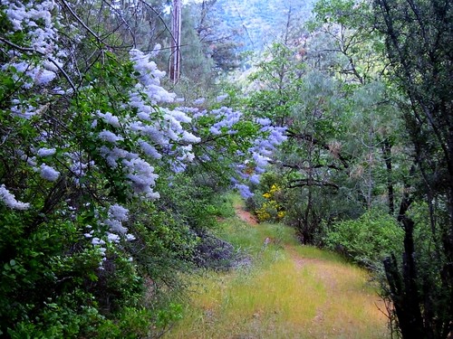
Kern County is known for its oil, its agriculture, and outdoor recreation. The Kern River is the highlight of the region with lush, green and grey granite canyons, a big reservoir & the Sequoia trees just up the road. On the western side of Kern County are small towns like Frazier Park, the golfing cabin community of Pine Mountain Club, plus the oil meccas of Maricopa and Taft. Expansive Lockwood Valley enters into Ventura County. Cuyama River borders Santa Barbara & SLO counties.
The 17 mile long Quatal Canyon, where the indian camp of Mahu Tasen hosts a Bear Dance every summer is also a wild place of bird watching, camping and hunting. The indian word for Mount Pinos is “Iwihinmu” – a sacred spot for Chumash Indians, as well as others; Chumash call it the ‘center of the world’. Locals respond regularly with music, hikes, star gazing, drum circles (seasonally) and local festivals (annually) .
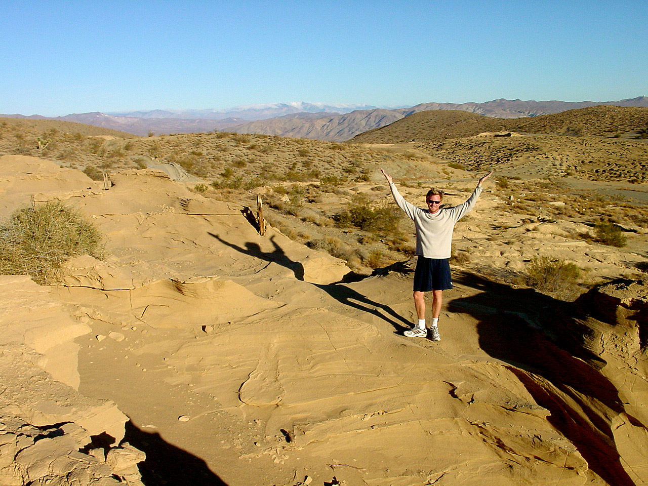
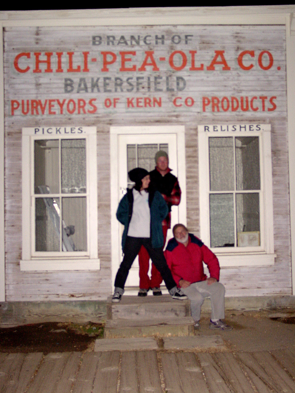
Many old west towns are still in existence in California, but few are as unique as the Randsburg Mining Camp in the Northern Mojave desert, where Hwy 395 meets the 14. The sleepy desert town is a hub of activity ( on weekends) for car clubs, dirt bikers, of-roaders & travelers passing through. Mid week you’ll see the locals and fewer tourists.
This high desert annual event is on the third Saturday in September every year, music street fair is the biggest day of the year for local residents & tourists alike. Historic sights, donkeys, horses, cowboys, live music, food & all the fun you can imagine in the middle of nowhere. One day only!
Located in the South Sierra Nevada mountains alongside the Southern Sierra Wilderness. Inside the remote rugged peaks of a deep, granite crevasse known as the Upper Kern River with ancient Sequoia forest to the west and to the eats, some of the tallest peaks in the Sierra range. This wild land area is home to the California golden trout and is the main water flow southward from the tallest peak in the lower 48 – Mount Whitney on the Eastern Sierra front.
Roads, campgrounds and trailheads surrounding Golden Trout Wilderness
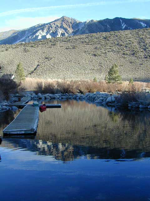
Eastern Sierra –
Horseshoe Meadows Road (paved) leads up to high elevation meadows from the high deserts of Lone Pine, CA. Pacific Crest Trail (PCT) access; Mount Whitney and John Muir Wilderness are to the north. Equestrian corrals and horse trails. Camping is limited to a one night stay at any of the 3 campgrounds up here.
Fork of the Kern / Loyds Meadow Road #22S82 – This main paved road connects the Kern River (Sierra Hwy Road #99) to the lower elevation, granite slopes of the Western Divide, and the route dead ends at Jerky Meadow parking lot. Camp 1-6 are primitive camp areas located on dirt side roads and 4×4 might be required on some of them. Obtain a campfire permit from rangers in Kernville. Fishing, camping, waterfalls and swimming holes are popular in this region. The big developed camp along this road, is located 10 miles up, in a pine filled valley on Peppermint Creek on the west side of the street and is within the Giant Sequoia National Monument.
Lower Peppermint Campground: elevation 5300′ / 17 camp sites / open year round
Lloyd Meadows @ Sequoia Forest Road# 20S67 – is the Forks of the Kern Trailhead & the dirt road that accesses it, is very popular among equestrian campers.
Western Divide Highway –
Road #20S79 leads from Western Divide Hwy to Lewis trailhead.
Road #20S50 leads from Western Divide Hwy to 2 hiking trailheads.
Sequoia National Park, Three Rivers, CA –
South Fork Road leads up Kaweah River at Southfork trailhead.
Mineral King Road is only open seasonally, access to high country lakes and trailheads.
east side –
Cottonwood Trailhead (near Lone Pine)
Blackrock Trailhead (Monache Mdws)
south side –
Jerky Trailhead
Forks of the Kern Trailhead
Lewis Camp Trailhead (Western Divide)
Summit Trailhead (Western Divide)
Clicks Creek Trailhead (Western Divide)
Camp Wishon Trailhead (Western Divide)
west side –
South Fork Trailhead (Three Rivers) Atwell Mill Trailhead (Silver City)
Franklin Pass Trailhead (Mineral King)
Searching for Parks & Recreation for a given California County? Total Escape features back roads destinations, all small towns & everything outdoors. From ghost towns to redwoods, hot springs to museums, recreational lakes to the best secluded beaches. We try to link to local web sites and gov agencies, when those link don’t break.
Seriously, so much time is wasted updating old links to .gov web site pages. Total Escape URLs have stayed the same since 1996. Some small towns barely have a web presence, much less a city web site. Some seasonal resort areas only have a Facebook page for online promotion. Often city web sites will change from a .us,.com to a .net
There are 58 counties inside the golden state California; more than your average state of the union, cuz the land mass is very large, and terrain diverse. City dwellers may be surprised at how many remote communities still exist. Smaller, rural towns are just aching for your tourists dollars, so go explore some place new. Modoc?


 some other popular web sites for California –


 The Tule Elk Reserve has no camping at all. Tomales Bay State Park no longer has car camping or RV camping available; hike-in or boat-in