Tag Archives: Creeks

1N17 – Inyo NF

1N17

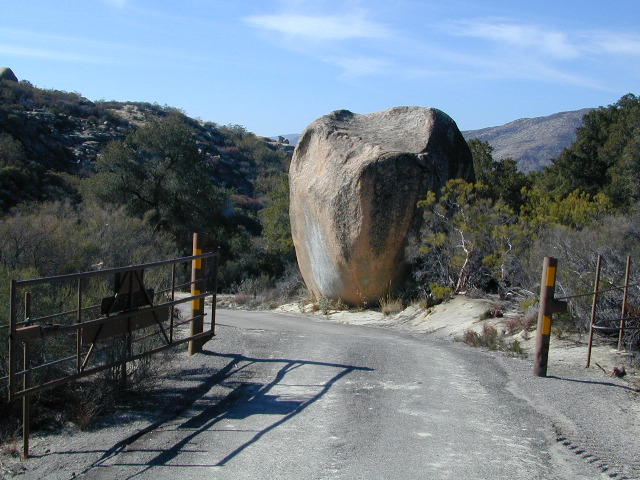
Road #1N17 – Inyo National Forest

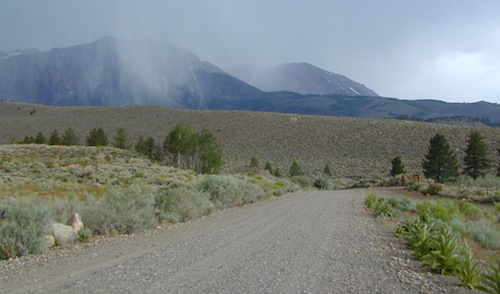
Highway 158 @ Grant Lake, North June Lake Loop

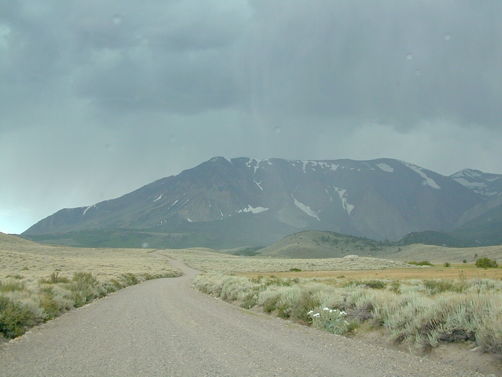
Forest Road 1N17 is a major graded dirt road that connects June Lake Loop to the Lee Vining junction, the back way. West side of US 395; south of Hwy 120.

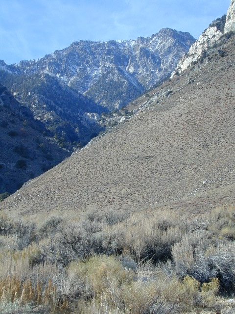
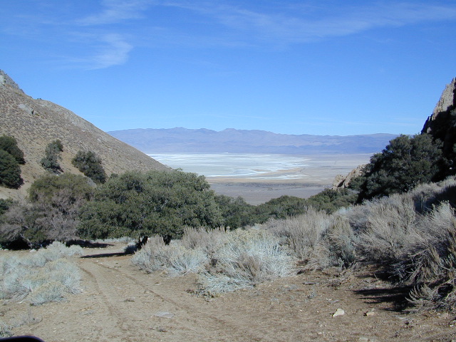
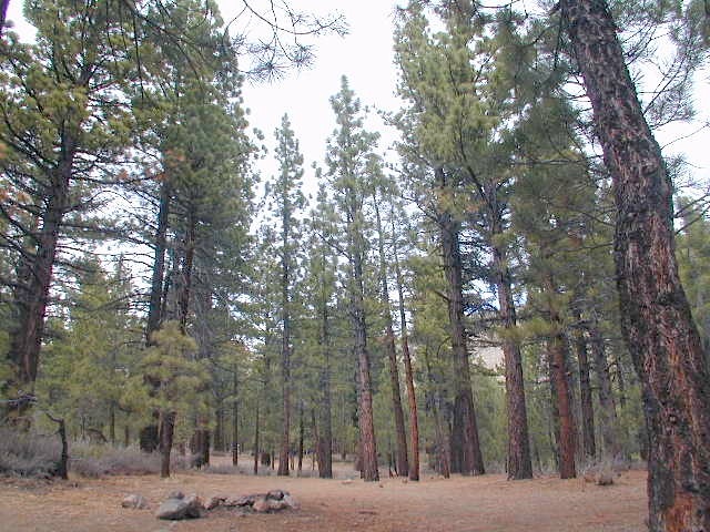
At north end of Grant Lake, slow down and look for the signed intersection. Sage brush hills and big drainage, with towering granite peaks above.

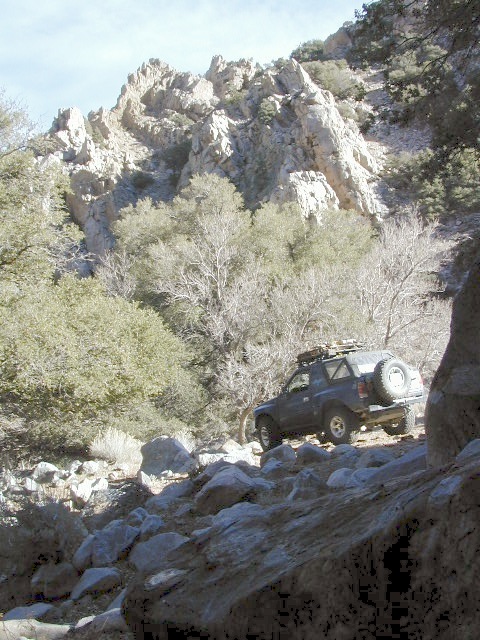
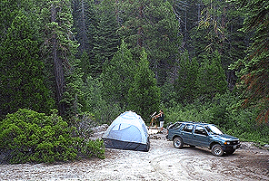
This well-traveled, wide dirt road leads along the base of the mountain range on BLM land, skirting the National Forest. Several side routes head up into numerous canyons, which are part of Inyo NF. Suitable for SUV, passenger cars, camper van and small RVs. Easy access off US Highway 395 and June Lake Loop #1S63

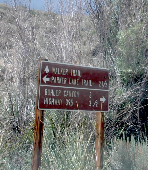
side routes off #1N17 –

Parker Lakes Road #1S25A
Sawmill Canyon #1S24
Bloody Canyon #1S23
Walker Lake Trailhead
Bohler Canyon #1S19
Gibbs Trailhead #1S106

walkertrail

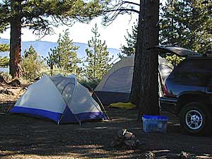
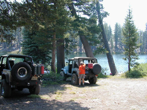
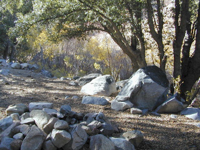
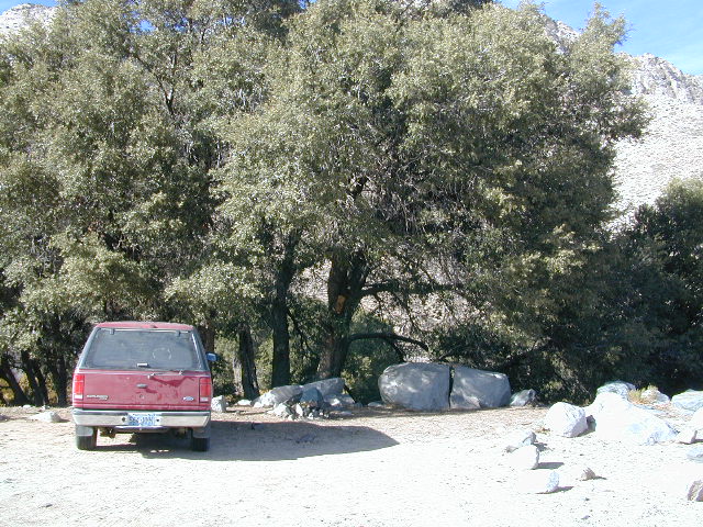
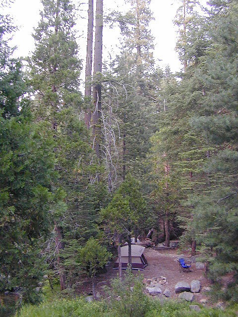
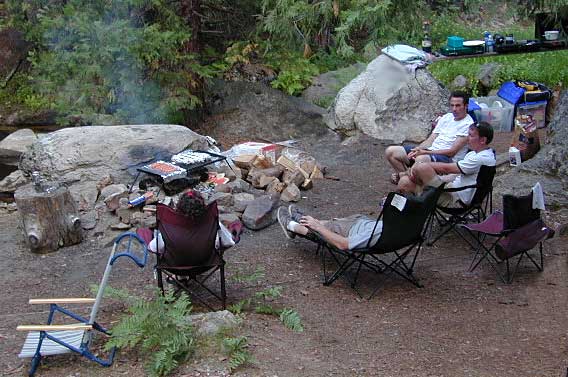
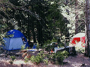
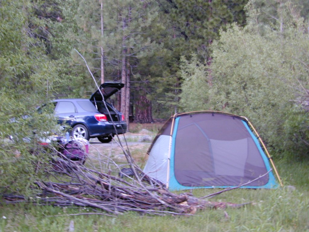
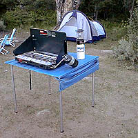
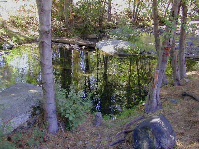
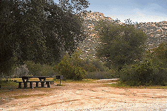
Several hike-in only lakes, creek camping, some seclusion. Great picnic areas, trail head access, short or long hikes. National Forest lands. Backpacking, day hiking and primitive camps, some deep in the aspens. Autumn here can be gorgeous, and these are all prime summer time camp sites, for free. Make sure to get your campfire permit ahead of time, at ranger station in Mammoth. Wilderness permits may also be required for overnight camping in this canyon, so check with the NFS rangers on that issue.

towns nearby:
June Lake, CA
Lee Vining, CA
Mammoth Lakes, CA
Mono Lake, CA

Ansel Adams Wilderness
Inyo National Forest

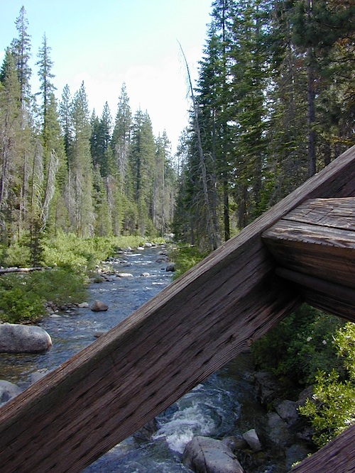
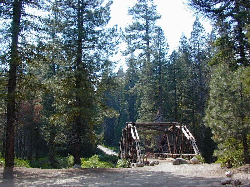
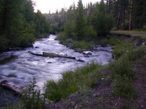
Certain areas back here can be muddy in springtime, other major routes can even be over whelmed with water when creeks swell. Summer thunderstorms are common. One lane bridges should always be driven with caution, especially on dirt roads. Always be extra slow when driving thru water at creek crossings.

area maps:
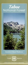
Inyo National Forest USDA
Ansel Adams Wilderness Maps
Mammoth Lakes Map by NatGeo

summerstorm

Camp Clean

Minimal Impact Camping

Camping Tread Lightly

Leave No Trace Camping

Camp Cleaning

  • No Soap in Streams, Creeks or Lakes: Even Biodegradable Soap is not good for the poor fish downstream.
  • Bring a bucket or wash tub – Wash dishes, clothes & yourself 100′ from streams & lakes
  • Food put away & dishes washed up before bed time. Keeping a clean camp will lessen the chances of wildlife or a bear visit
  • Use existing campsite or rock campfire ring to prevent impacting new areas
  • Pitch tent in cleared camp spots only (when primitive camping). No need to trample new spots.
  • Do not set a tent up in a meadow, next to a creek or on a lake shore. It’s too fragile an environment.
  • Bring extra trash bags (heavy duty lawn type is best) for cleaning any litter you might find at your selected camp site.
  • Sometimes you’ll need to shovel out the whole fire pit (full of glass and trash)  to start a fresh new campfire. Building your fire on top of somebody else’s mess means you’ll be inhaling all their left-over garbage.
Always leave a clean camp
always leave a clean camp

leave no trace

Camp Kitchen Outdoors

Try to keep all food, drinks and cooking to one area of the camp. If you plan to cook over the campfire, this choice will make much more sense. Setting up kitchen area in between the tent and the campfire is usually an excellent spot. Having the vehicle close by for proper food storage is also advised, or use bear boxes if available. If you choose to hang your food in the tree, bring adequate ropes and bags.

The last person still up around the campfire at night should double check the cleanlness camp before retiring for bed. Chances are there is a half-eaten snack or left over beverage that could attract the animals. Oh no, the GARBAGE!! Don’t forgot to put your garbage bag away at night, or dispose of it in a proper trash container. Double bag your garbage if you are concerned with it leaking or smelling up the vehicle.

Food Preparation

Potty Breaks in the Outdoors

shovel

  • Bathroom break in the bushes? Don’t leave your toilet paper trash. Dispose of in your vehicle with a plastic bag or back at camp.
  • For human waste – Bring a shovel, dig holes 8″ deep & pack out all toilet paper. Do not bury paper as animals will just dig it up.
  • Certain areas are so sensitive or overused that all solid waste must be packed out, check for the local regulations.

Camp Hygiene in the Outdoors

Spicer Reservoir

spicer terrain


Spicer Meadow Reservoir

Spicer Meadows, Spicer Reservoir, Rd #7N01
Spicer Lake, Stanislaus National Forest

lake elevation 6418′
227 surface acres

public boat ramp
hiking trail around lake
more lakes nearby

Ebbetts Pass Sierra Hwy 4

Ancient volcanic peaks mix with Sierra Nevada granite rock, pine forests and fresh, clear, clean mountain water! California, of course.

Stanislaus Forest Road #7N01 leads down from Highway 4 to this popular series of alpine lakes and reservoirs. Camping, fishing, hiking and mountain biking. Sailing, canoeing, kayaking, swimming, floating and fishing are also popular water activities.

Rules of the Reservoir:
10 mph speed limit on Western Arm.
No motorized boating in Eastern Arm.
Camp only in developed Campgrounds.

NFS
2 NFS Campgrounds at west end of lake:

  • Spicer Campground (60 sites)
  • Spicer Group Camp (75 people max)
  • Campgrounds only open June-September. Some campsites at the campground are wheelchair accessible.

    Additionally, Stanislaus River Campground w/ only 8 sites, is located just off the main access road #7N01, right near the river.

    spicer lake shore

    Spicer #7N01

    Numerous smaller lakes in the region make this a hot spot for summer vacations. Union and Utica Reservoirs (both with dirt road access) are good for kayaking and canoes, while power or sail boats prefer the larger Spicer Lake. Summit Lake and Elephant Rock Lake are perfect for quite picnics and day hikes. Trails (many unmarked) connect the lakes to each other. Area gets buried with snow in winter, so these roads are generally only open half the year.

    More reservoirs and lakes nearby:
    Highland Lakes
    Mosquito Lakes
    Lake Alpine, CA
    (all along Hwy 4)

    Stanislaus National Forest Map USDA
    Stanislaus National Forest Map USDA

    Nearby mountain towns:
    ARNOLD, CA
    BEAR VALLEY, CA
    Lake Alpine, CA

    Eastern Sierra Hiking

    Eastern Sierra Hiking Trails – Mammoth Hikes

    Autumn Bliss Hike

    Desert ghost towns to Sierra meadows & waterfalls, Inyo National Forest offers plenty of diversity for scenery. To list all the hikes in the Eastern Sierra would be obsurd, cuz there are so many trails. This side of the Sierra Nevada is all about hiking, fishing & camping.Inyo forest map

    No matter where you hike you will probably get a great view over the Owens Valley, Long Valley Caldera or Mono Lake. So that means most of those trails are hiking up a canyon, or a ridge line. Thousands of trails over this region require a good map to make the best decision for your hiking interest.

    US HWY 395: The Eastern Sierra is one of the premier hiking destinations of California. Featuring the granite crags of the HIgh Sierra peaks. Mount Whitney, the tallest peak is closest to Lone Pine. Southern Californians love Eastern Sierra destinations, cuz they can avoid Los Angeles Basin and stay outta traffic.

    Lone Pine Lake – Whitney Portal is a great, but crowded place for hiking. DO NOT ATTEMPT to hike to Mount Whitney in one day! Leave it to the seasoned pros. The first good stop up the Whitney Trail is gorgeous Lone Pine Lake, a great moderate day hike from there.

    Alabama Hills – just below Mt. Whitney and has a totally different landscape than the backdrop granite Sierras behind. Try some boulder hopping & explore the dirt roads. Bring your mountain bike too.

    Cottonwood Lakes (Pacific Crest Trail) – day hikes to alpine lakes. US 395 @ Lone Pine, W on Whitney Portal Rd. Left on Horseshoe Meadow Rd & continue up 19 mi. to the Horseshoe Meadow campground. Mostly a trail head camp, way, way up there. Open May – November

    Kearsarge Pass – from 9000′ Onion Valley you can access the incredible High Sierra & numerous alpine lakes. The elevation gain makes this a full days hike; rated strenuous. Or continue on w/ backpack into Kings Canyon National Park.

    Devils Postpile – back behind Mammoth Mountain, creeks, forest & cool geology awaits. Plenty hiking trails.

    FALL COLORS: Autumn is the best time to enjoy the gorgeous aspen groves, as they change colors w/ the onset of winter.

    Eastern Sierra Peaks

    Topo maps, wilderness hiking maps
    Equestrian trails, OHV maps –


    Sierra High Country Hikes
    Originally uploaded by danamight

    Trailhead @ Onion Valley leads up to impressive alpine lakes, Kearsarge Pass & Kings Canyon High Country.

    Eastern Sierra communities include:

    Alabama Hills
    Alabama Hills @ Lone Pine, CA

    Secluded Lake

    Sierra Nevada lakes

    Often called fly fishing lakes, or backpacking lakes, these are usually located in the mountainous parts of California. Remote lakes that are ‘hard to reach’ come in 2 varieties:

    hike-in lakes

    Backpacking Lakes, found in the Sierra Nevada Wilderness or Northern California Wilderness Areas.

    Some of our absolute favorites include:

    drive to lakes

    These are often many miles down a dirt road or narrow paved route (neither which is recommended with a big trailer or large motorhome). Matter of fact, some of these lake destinations require 4 wheel drive to access them. You will need a good vehicle, maps, possibly more than one. You will need time to enjoy these. They require a fair amount of work to get to, but the rewards are immense.

    Sequoia Cabins

    Sierra Cabins near Sequoia Groves

    Sequoia trees naturally grow in the Sierra Nevada mountains, on the west side of the range. Several parks & forests make up what is known as “the Sequoias” – in the Southern Sierra, Sequoia National Forest; Giant Sequoia National Monument; Mountain Home State Forest; Central Sierra is home to Sequoia National Park & neighboring Kings Canyon NP; Sierra National Forest & Yosemite NP. Yep, all those areas have Sequoia groves!

    See all the Sequoia & Redwood Groves in California!

    California Cabin Rentals near to Sequoia groves –

    Sequoia cabin rentals

    TOPO MAPS of California Redwoods –

  • Sequoia Maps by NatGeo
  • Yosemite NP Maps
  • NorCal Redwoods Map
  • If you are searching for tallest species, the Coastal Redwoods located on the shores of Northern California, then you can find them over here – NorCal Redwoods

    Dinkey Creek

    Dinkey Creek, California

    dinky what?

    Dinkey Creek California
    Dinkey Creek really ain’t all that small is it?

    Dinkey Creek elevation 5700′

    Dinkey is a major feeder creek originating with high altitude lakes in the Wilderness above, flowing down to the Kings River. Dinkey Creek has a seasonal large campground and a general store that is open during the summer months. Campground Reservation are common since this is a well-known destination of the Western Sierra.

    in the mountains above Fresno

    Located deep in the Sierra National Forest, 15 miles south of Hwy 168 @ Shaver Lake, via a very long, winding, paved road. Not suitable for large motorhomes.

    Dinkey Creek Road becomes McKinley Grove Road @ intersection of historic, wooden Dinkey Creek Bridge. McKinley Grove Rd  leads further south, past Sequoia trees, numerous other NFS campgrounds and on to the 2 big reservoir lakes (Wishon & Courtright). The Dinkey Road is usually only open during warmer months (MAY-OCT), snow & weather permitting.

    Dinkey Creek Store

    A very popular place for summer vacations, fishing, hiking and picnicking. The day use area near the historic wooden bridge has numerous dirt parking lots, trails, picnic tables and pit toilets. Excellent place for exploring on foot with the family, or creek fishing from the boulders.

    mountains backroad horseback trails picnic fishing mountain bike camps hikesnight skiesNFS

    wooden bridge
    Historic Dinkey Creek Bridge

    Dinkey Creek Campground RV camping

    • Elevation: 5,700′
    • Number of Sites: 128
    • Water: piped
    • Toilets: flush
    • Amenities: showers, horse corrals
    • Vehicle Accessibility: 30′ max RV
    • Campsites Reservation: Yes
    • Length of Stay: 14 Days
    • Season: May – September
    • Trailheads: Dinkey Lakes Wilderness

    Mckinley Grove intersection

    hikesDinkey Lakes Wilderness 

    Dinkey Lakes Wildernesstopo mapsDinkey Lake Trail Map


    Back roads are abundant around Dinkey, leading higher up to large, granite reservoirs (with more camping options) and numerous forest dirt roads zig-zag across the mountain terrain wherever possible.

    Dusy Ershim Trail is a famous Sierra 4×4 route that connects Courtright Lake to the Kaiser Pass. Granite everywhere, slow-go rock crawling, skirting in between two Wilderness Areas.

    Sierra Forest Road #11S12, is a dirt road that leads downhill, past the North Fork of Kings River, from high elevations near Dinkey to the Black Rock Reservoir and meeting up with Kings River near Pine Flat. An excellent loop trip for those wanting to experience dispersed camping on the back roads, but a high-clearance vehicle is required. This road is gated and closed for winter, so call ahead to the rangers, to see if it is open before you make the journey.

    Wilderness Wishon California
    Wilderness Wishon

    This whole Western Sierra is home to major hydroelectric dams that create a water supply for farms and cities located in the Central Valley below.

    nearby lakes –


    19S01 – Inyo NF

    south sierra ridges

    Walker Creek Road #19S01
    – Inyo National Forest

    Southern Slopes, Eastern Sierra Nevada

    Just south of Olancha, off US Hwy 395 is a dirt road that takes you 5 miles up to an oak canyon lined with rocks. There are several primitive camp sites along the Walker Creek. A high clearance vehicle may be needed in some sections, but 4×4 is not required. Small RVs might attempt this, but if the first mile frightens you, turn around while you’re ahead.

    Dirt Road near 395

    This private, shaded, creek area is perfect for those traveling Highway 395, looking for a quick and free camp spot near Olancha, CA

    nice shady spots
    Shady picnic or camp spots above 4000′ elevation.

    some granite
    Hiking trails at the end of the road lead deep into the mountains. One on the right takes you to waterfalls. The trail on the left will take you to meet up with the Sage Flat Trail, which leads up to Olancha Pass, Summit Meadows & a small lake, in the South Sierra Wilderness. The Pacific Crest Trail runs the ridges here, just west of Monache Meadows, which is at 8000′ elevation, way above here – up on top. 

    First Camp

    US 395 highway – the dirt road turn off is very close to a gas station, and it maybe be signed, or not. The gas stop may be in business, or perhaps not. This is rural California, wide open desert and things come and go quickly.

    On a good topo map, located Olancha Creek and Summit Creek to the south. Walker Creek is the canyon in between those two, just so know where you are going and can visualize. This one is an easy-to-miss dirt road turn off – especially if you are going over 50 mph.

    Dispersed Camping Sequoia

    bone creek

    Sequoia maps

    Open Camping in Sequoia National Forest – Forest Road Camping

    Seeking secluded campsites? This is one of the best areas to camp in pine forest w/ privacy, relatively close to Southern California. Plenty of primitive car camping on the dirt roads throughout this whole Sequoia & Kern River area.

    nfs primitive back roads mountain biking hiking mountains

    No facilities. No picnic tables, no toilet, no fees. Just a rock campfire ring & a clearing. Previously used sites have already been established usually near streams. Try to use these first, if at all possible. It takes a bit of exploring but you will find the perfect spot. Don’t even attempt to try to find these kinds of camp spots at night. They are often buried deep in the forest with no visible markers what-so-ever. But in trade, you will be lulled to sleep by your own private mini waterfall & no RV generators. Many of these back roads are closed & gated during winter months due to snow & rock slides.

    No amenities are available in this neck of the woods, but plenty of seclusion & wilderness. Check official Wilderness rules for proper knowledge of the area restrictions. You must get a free camp fire permit from the ranger station in order to build a fire outside of a developed campground. A large shovel, plus bucket w/ water are a bare minimum for the privilege of camping like this. Certain dry seasons (summers into autumn) have very strict camp fire restrictions. Check with the ranger to see the latest on building campfires on the back roads. camping

    A Sequoia Forest Service Map is highly advised for this area. There are so many dirt roads for dispersed primitive camping on the back roads. Due to weather & erosion, some roads may require 4×4 or high clearance, so come prepared with a plan B.

    Camping Checklist to make sure you’ll have what you need. The drive up from the Los Angeles area averages 3-4 hours and is well worth the trip. Once you’ve found that perfect spot, take detailed note of it, for the next time you visit the area. Then, you will be able to get there easily in the middle of the night, if need be.

    Backroad Camping Sequoia: Follow the forest road numbers with your Sequoia map to discover amazing back road camping options. Your own private stream or meadow. Secluded campsites with your own mini waterfall.

    overview

    see also –
    Sequoia Campground Camping

    monache mdw

    Sawmill Lake Sierra

    primitive camp spots

    Sawmill Lake, California


    N of Donner Pass, Sierra Nevada

    elevation 5800′Canyon Creek connects Lake Faucherie, Sawmill Lake and Bowman Reservoir in the Sierra, Tahoe National Forest. 20+ miles of backroad travel, off I-80.

    While many consider Faucherie to be the most beautiful scenic lake, Sawmill Lake just downstream a couple of miles is still quite attractive – with dense forests and a granite mountain backdrop. Sawmill is especially nice for those who like to primitive camp, ouside of developed campgrounds. Way off the interstate @ Hwy 20, tucked in way back behind Bowman Lake a few miles, you can find Sawmill Lake.

    Sawmill Lake California

    Fishing and camping, kayaking and canoeing are all popular recreation around this lake. A trailhead on the northend of the lake leads out to even more alpine lakes (a day hike “lake loop” or backpacking option). The Pacific Crest Trail is also routed nearby.

    No motorized boats or watercraft allowed. No boat ramps, no pavement, no picnic tables, no bathrooms, no fees.

    4×4 Lake
    Fishing Lake
    Free Camping Lake

    The north shoreline is abundant with dispersed campsites: metal fire rings and a clearing only; no picnic tables, no toilets. Self sufficient campers only. Campfire permits, a water bucket and a shovel are required. During extreme fire restrictions campfires may not be allowed. Check with local rangers for up to date info.

    Tahoe National Forest
    Truckee Ranger Station
    530-587-3558

    National Forest Lake & Forest Lake Fishing Kayak lake hiking lake

    Most campsites are drive up and park, while others closer to the shoreline have only walk-in access. Hauling your gear down hill won’t seem unthinkable once you’ve seen the lakeside views. There is even a camp below the dam, next to the waterfall.

    waterfallfromdam

    The main access Road #843-037 is very rocky and 4x4s love to frequent the area. The backroads here are best suite for truck travel, high clearance vehicles, off-roaders and SUVs. No small RVs or trailers. Passenger cars are not recommended. The access roads around the lake and up to the lake are dusty and rugged. The road below the dam is quite rough w/ rocks.

    For more driving details, please see entry on Canyon Creek Campground.

    road at dam
    The water at Sawmill Lake is crystal clear snowmelt. The lakes around here are managed by Nevada Irrigation District, so this is why there are no engines allowed on the lake. This canyon area closes to public entry during winter months (NOV-APRIL), due to deep snow.

    clear water

    23S64 – Sequoia NF

    Sequoia Creeks

    Bear Meadow: Forest Rd# 23S64 – Packsaddle Creek, Sequoia National Forest

    For the more adventurous & ones seeking some seclusion, Bear Meadow is located up the dirt road a bit from Thompson Camp Spring . From Forest Road #23S16 @ Thompson Camp Spring – continue straight on the dirt road #23S64, cross over the one lane wooden bridge; within a mile, turn left into a secluded creek side camping area. Note: Bears are common here (hence the name Bear Meadow)!

    Packsaddle Creek runs thru this forest. Very primitive area with rutted dirt roads & sometimes overgrown; there are several campsites back in here for the ones who seek the wild. (Yes, bears & wild animals are very common way back here). If you continue on straight on the main dirt road Packsaddle Meadow also has camping spots & small corral. The last time we were out this way (2002-ish), the dirt road does not connect with highway to the west, as indicated on the map; due to landslide.

    Sequoia National Forest

    Sequoia National Forest MAP

    Closest small towns are:

    Sierra Creeks

    Trinity Alps Camping

    Trinity Alps Wilderness Campgrounds

    Northern California Camping
    Shasta Trinity National Forest

    Trinity Alps Wilderness

    camp


    • backpacking
    • camping
    • fishing spots
    • floating
    • hiking
    • hunting
    • kayaking
    • mountain biking
    • off-roading
    • soaking
    • swimming holes
    • tubing
    • stargazing

    trinitydetail

    campgrounds near Trinity trailheads –

    camping Highway 3
    (California State Route 3):

    • Horse Flat Campground, near Eagle Creek trailhead
    • Eagle Creek Campground @ Hwy, near Stoddard Lake & Eagle Creek trailhead
    • Goldfield Campground, near Boulder Creek trailhead
    • Big Flat Campground (via Coffee Creek Road #104)
    • Preacher Meadow Campground @ Hwy, near Swift Creek trailhead

    camping Highway 299
    (California State Route 299):

    • Ripstein Campground, near Canyon Creek trailhead
    • Hobo Gulch Campground, on Road #34N07
    • Hayden Flat Campground, near Big French Creek & Green Mountain
    • Denny Campground, near Jim Jam Ridge, East Fork & New River; Way out west
    • Groves Prairie Campground, near Grizzly Camp trailheadtrinityalps_lg
    • Happy Camp Campground, near Grizzly Camp trailhead

    camping Highway 96
    (California State Route 96):

    • Tish Tang Campground, near Tish Tang trailhead
    • Box Campground, near Red Cap Lake, Bear Hole & Mill Creek Lake
    • Klamath Riverside Campground @ Hwy, near Salmon Summit

    camping Salmon River (Cecilville Road #1C02):

    trinitysign
    Trinity Scenic Byway (CA SR 3)

    NorCal Topographic Maps – Trinity Map

    Shasta Trinity National Forest Map

    Pacific Crest Trail Map #6 (Shasta Cascades)

    Trinity Alps Wilderness Map

    outdoor destinations also nearby –


    View Larger Map

    Cheap Trips California

    CA Road Trip / Staycation California / Cheap Vacation California

    point reyes

    Staycation: this is the newest media catch phrase for ‘traveling close to home’. Local travel in California. We know it well, cuz Total Escape has been featuring this kinda travel for over 2 decades. Right here on this web site you can find thousands of ideas for weekend getaways, honeymoons, spring breaks & summer vacations.

    Spend less money, travel local, stay longer, see more, and really relax. Drive less miles & get to know your own backyard. We have everything from independent lodges in the most remote destinations, to free primitive camping sites on Sierra creeks.

    woods

    No amusement parks, no casinos. All California, all outside. We feature waterfalls, local hikes, swimming holes, hot springs, fishing creeks, campgrounds, museums, lakes, rivers, wilderness & most all outdoor recreation. Deserts, mountains, country, coast. Beaches to Bristlecones, we have the state covered for local travel.

    A good place to start is our extensive A-Z list of all California destinations & small towns.

    California Places & Vacation Ideas

    California Camping Lakes

    California Road Trips

    California Maps & Topos

    Giant Sequoias

    SUV Trail

    Baker Creek
    Baker Creek, Inyo NF

    Since sport utility vehicles were invented for California yuppies, it makes perfect sense that this California market also has the awesome terrain to use these rugged rigs. After the first shopping cart door ding or windshield crack, most folks are open to taking their utilitarian vehicles on dirt roads, but some will only dream about it.

    big bear joshua trees

    Here at Total Escape, we are here to change all that. The fear of outdoors, the unknown, the capability, the driving skill. Your SUV is a good reason to be outdoors in the golden state, at bare minimum. No excuses. Enjoy the California you never knew – and sometimes that means getting off the pavement. Yes, more than 2 miles.

    SUV trail – any path, dirt road or route that can be driven on; high clearance vehicle are often necessary, 4×4 needed on occasion. National Forests, canyons, deserts, mountains, country lane style drives, some classic routes skirt the wilderness boundaries. We have it all for ya here. Rock crawling Rubicon adventures, all the way down to the leisurely ‘Sunday drive’ thru a forest to a meadow for a picnic. 

    Jeep trails, forest roads, graded roads, gravel roads, back roads, dirt roads, 4×4 routes, OHV (off highway vehicle) trails.

    MAPS will get you out there!
    suv road trip
    Dust, dirt, mud, snow. Beyond the county line, way back there, where you can discover ghost towns, old mines in the desert, hot springs, historic lodges, petroglyphs, river gorges, fire lookouts, waterfalls, and so much more.

    Get motivated and travel in your SUV:

    cattle roads

    SUV camping

    sierra roads

    Cold Creek Campground

    Cold Creek Camp

    Truckee Campgrounds, Tahoe NF

    Cold Creek Campground: N of Truckee, CA

    DSCN0046

    A small developed campground along forested Highway 89, with raging creek, fishing spots, and hiking trails and mountain biking trails nearby. Paved, level camp sites, small RVs okay w/ access to the numerous Sierra Nevada destinations with several lakes and reservoirs nearby.

    This is a popular overnight stop “in route” for many campers and bikers traveling further on to the Northern Sierra Nevada mountains. You can exit off Interstate 80 @ Truckee, and be at this camp in minutes. Car camp, tent camping, a few spaces for small motorhomes. Plenty hiking and mountain biking trails.

    Cold Creek Campground, California

    on the Cold Stream;
    Campground open May-October
    (depending on snow)

    High Sierra / Tahoe Truckee Camping

    13 camp sites on Cold Stream @ 5800′ elevation; vault toilets, river and piped water, bear boxes; first come, first served camping

    Max Camper Length: 22′

    Rangers Office: 530-265-4531

    The highway traffic noise makes this place a ‘short and sweet’ one nighter top pick, great for those camping in route to another destination. Another developed camp is on the opposite side of the highway, less than a mile north called Cottonwood Campground.

    Free Camping nearby.
    If you are seeking primitive camping near this area, start with Little Truckee Summit at the lakes turn off road on SR 89 – about 2 miles south of the Cold Creek Campground.

    Tahioe USDA MapTake Tahoe Forest Road #5, a major paved road, approximately 12 miles back to the big meadows. Look for the unsigned dirt roads on left side of road nearing Webber Lake. The largest lake in the region, Independence Lake, is a paved side route off to the south. Further back on Road #5 the pavement ends at Jackson Meadows Reservoir. Very rough rocky road out to Bowman Lake w/ several developed campgrounds in the vicinity.


    Tahoe trailheads lead out to –
    alpine fishing lakes
    mountain peaks
    Treasure Mountain 7085′
    Tahoe National Forest 
    OHV Area @ Prosser Reservoir

    NEARBY TOWNS:

    ROAD CONDITIONS:

    Tahoe and Truckee are known for their brutal winters and deep snows pack. Call CalTrans ahead of your departure if you are even slightly expecting any kind of precipitation. Truckee – winter road conditions


    View Larger Map

    Where to Camp

    Where to set Camp in California?
    Camping Spots
    Small campgrounds have fewer facilities than the larger developed campgrounds, but less sites means more nature and less people. Roughing it on the back roads with dispersed camping is by far the best experience for seclusion and privacy

    real peace and quiet.

    Primitive, free camping requires more thought and planning than just pitching a tent in a flat spot at a developed campground.

    First off, you will need a decent topo map to find the dirt back roads, the trailheads and the creeks with the best camp sites; a dependable and capable rig to get you out there, plus your camping gear.

    Campfire permits are usually required for camp stoves, BBQs and any open fires. (bucket & shovel needed).

    And most importantly, since California is known for its super dry climate and seasonal wildfires, make sure to check with local rangers to find out about any current campfire restrictions.

    Streamside Camping
    some tips for a good camping experience – without scoldings or citations from Mr. Ranger:

    • Choose existing campsite in a used area – rather than creating another rock ring & trampling a fresh spot.
    • Always know fire conditions; get a fire permit if you have a campfire outside of a developed campground.
    • Set up camp away from other people. The majority of people go to the wilderness to experience quiet, peace, & solitude. There is plenty space for everyone, so spread out.

    mountains

    • Never set camp in a meadow. It is a very fragile ecosystem.
    • Use an existing camp site when possible. Rebuilding and cleaning campfire pits is part of the job!
    • Camping right on the a creek bed or lake shore is damaging to the vegetation and wildlife areas. Place tent at least 20+ feet away from waters edge. Many camp site already exist in prime areas on creek front, so seek out those first. The deeper you go into the wood, the more you will find. Seclusion is possible, if you want to drive beyond the pavement.
    • Do not camp beneath large dead trees. Check tent spots for old overhanging branches too.
    • Do not camp near a mine shaft; Toxic heavy metals or radioactive debris could be present in the dirt.
    • Camping next to a lake, wetlands or a meadow can often result in abundant mosquitoes & insects overall.
    • Snow is possible anytime from October to May above 5000′ elevation. Chilly nights are common in summer.

    deserts

    • Avoid camping inside desert canyons when the threat of rain is approaching: possible flash floods.
    • Consider the benefits of potential windbreaks in desert terrain. Large rocks, bushes, trees, your vehicle & even a hillside.
    • Picking a camp spot on a ridge line means sun exposure and windy conditions. Breezes will keep the bugs away and you can’t beat the better view, but wind can pick up at any time especially in desert regions.
    • Low elevation in late spring and fall means very warm temps; summer is triple digit heat most days.
    • Do not camp near a mine shaft; Toxic heavy metals or radioactive debris could be present in the dirt.

    coastal

    • Avoid camping on fragile coastal cliffs; unstable, which can give way, caving in, resulting in danger to you.
    • Camping on the beach means watching the tides. Know where high water mark is before you set camp up.
    • Beach camping in early summer means low clouds and fog are likely. June Gloom can last months.

    countryside

    • Avoid building campfires up against a large boulders or against a rock face.
    • Rivers controlled by hydroelectric dam systems mean that the water levels can change at any time without warning.
    • Never set camp in a wildflower meadow. It’s too fragile of an ecosystem.
    • Lower elevations in summer time means potential triple digit heat during mid-day.
    • Do not camp near a mine shaft; Toxic heavy metals or radioactive debris could be present in the dirt.
    National Parks National Forests State Parks California BLM OHV routes California Wilderness
    Beach Camping
    California Forests
    Wineries
    Desert Parks
    California Back Roads California Lakes

    Indian Flats Campground

    Temecula Camping / Warner Springs Campground

    San Diego Mountains – Cleveland National Forest

    Indian Flats Campground

    Indian Flat Campground is located on the seasonal San Luis Rey River in rural North San Diego County.  From I-15 @ Temecula, CA travel eastbound on Highway 79. Look for the tiny turn off  (on left side) for forest road #9N05, sorta near glider airport located west of Warner Springs. This poorly paved backcountry route (half dirt/mud at times) is also known as both Indian Flats Road or Lost Valley Road.

    Graded dirt road (paved in some portions) travel is approximately 6.5 miles to campground, look for gate and turn off on the left side. When you see the giant boulder near the entrance, you’ll know you’ve made it to the right place.

    Oak trees and a few pines, plenty shade, boulders and mountain scenery, this is a great small campground that is well away from everything in Southern California.  Seasonal creek-sized river and boulder waterfall often dries up in late summer. This means a wet spring is the best time to visit this camp. Hiking, mountain biking trails and hammock spots. Pacific Crest Trail access.

    Cleveland National Forest
    Palomar Ranger District
    760-788-0250

    ClevelandMap_07

    Elevation: 3,600′
    Number of Sites: 17
    Camping Reservations: None
    Sites Available: First come, First serve
    Vehicle Accessibility: Length 15′ max.
    Length of Stay: 14 Days
    Water: No Piped; Seasonal creek nearby
    Toilet: Vault
    Season: Closed for mud & snow during winter months
    Fee: Yes
    Operated By: National Forest Service
    Closest Town: Warner Springs, CA

    Indian Flat
    Indian Flat Campground Entrance