Tag Archives: dam

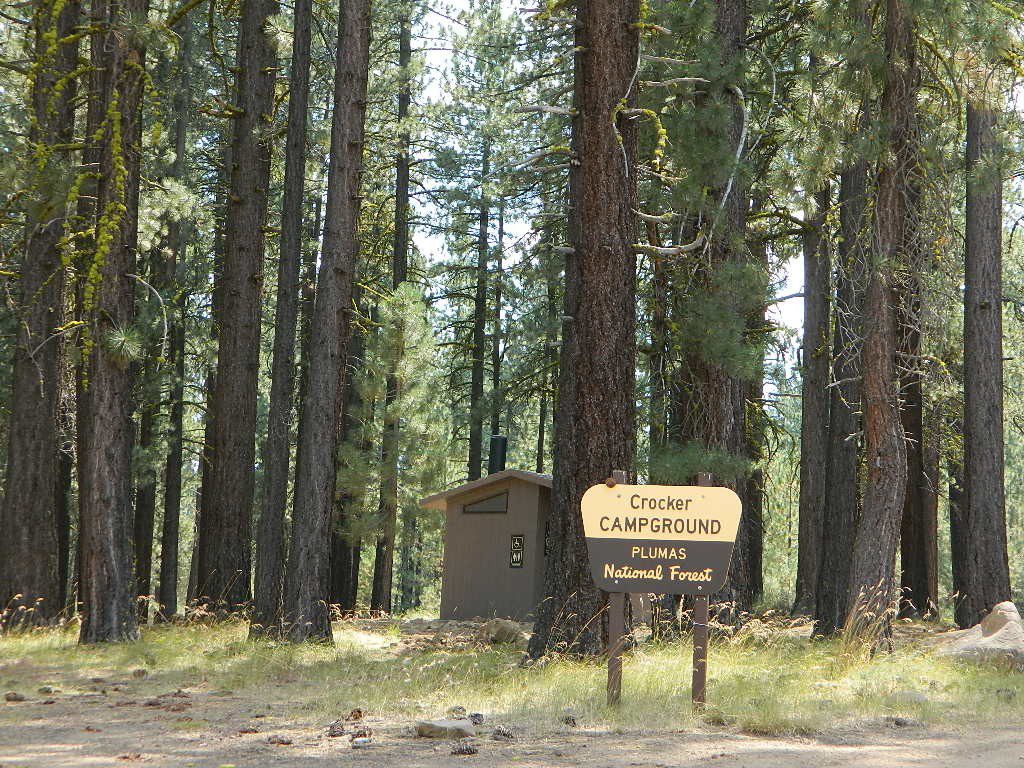
Crocker Campground

Davis Lake Camping

Crocker Camp Lake Davis

Crocker Campground
Crocker Guard Station

Plumas Forest Rd #24N06
Crocker Mountain Rd @ Beckwourth-Genesse Rd

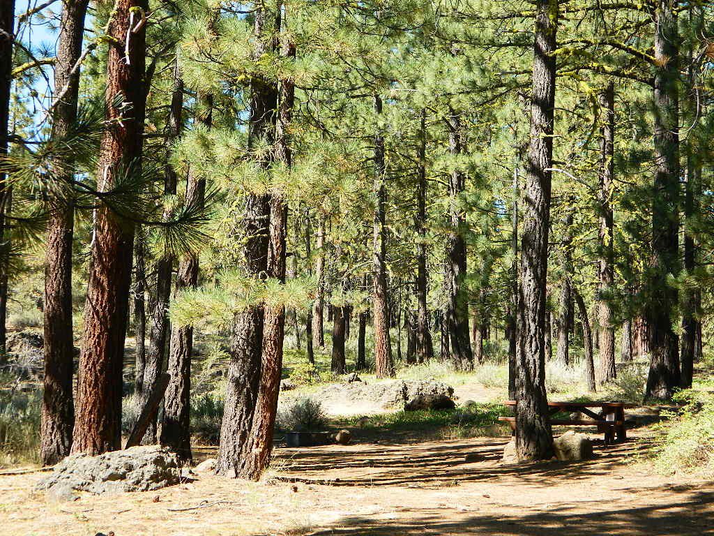
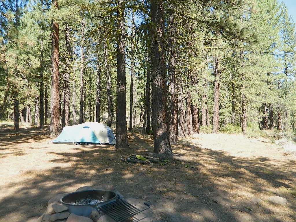
Seldom used, but often loved. This old camp used to be a California Conservation Corps (CCC) camp, during the construction of Lake Davis in 1966. Situated next to a big meadow w/ ancient lava flows up hill, the small campground hugs a wooded hillside above the freshly paved Beckwourth-Genesse Road #111

Lake Davis Recreation Area

Plumas National Forest
Beckwourth Ranger Districtranger
530-836-2575

If choosing to enter camp from the lake side, take Crocker Mountain Rd. / Plumas Forest Rd #24N06, up from Grizzly Road #112.

The Lake Davis area is a north turn off Hwy 89, in between Beckwourth and Portola, CA

Access from the paved (east) side is via Beckwourth-Genesse Road #111. Adventurous camper trucks, or small RVs may attempt this dirt hillside campground, but roots and rocks and erosion are abundant in the upper portion of the camp, so be warned.

Off Roaders (dirt bikes, quads, 4x4s) like this rustic camp spot, cuz it’s not too far off the pavement – and they can drive their comfy campers w/ trailers en tow, and the big BBQ grill and easy-up shade.

hikerNote: you cannot see Lake Davis from this side of the hill.

Autumn is nice here w/ aspen groves at nearby Crocker Guard Station. There are no aspen trees in the campground – only pines. This primitive campground is located on a forested, volcanic hillside facing east; Dirt road entry, vault toilet w/ minimal facilities. No paved campsite loop here!

Numerous unmarked foot trails lead out to the meadows edge, up lava ridges or into the forest behind the aspens. Crocker Guard Station is a very short walk; and available for rent from the NFS w/ reservation.

Crocker Campground NFS camp

• Elevation: 5600′
• Number of Sites: 10
• Vehicle Accessibility: Small RV
• Campsites Reservation: No
• Camp Fee: Yes
• Length of Stay: 14 Days
• Season: May – November
• Trailheads: Crocker Meadow Loop
Crocker Campground

Crocker Guard Station

aka Crocker CCC Camp

Set back nicely off the main road, this stylish, historic, two story cabin – with wood siding and front porch – has meadows and aspen groves surrounding it. Paved road access from Beckwourth Genesee Road

CCC = the Civilian Conservation Corps is often mentioned when reading about this specific location.

Crocker Guard Station was built in 1912 as a home for Forest Service personnel, and was later staffed as a fire station until the 1980s. Now the building serves as a USFS Cabin Rental; which could also make a nice (small) wedding location. Very scenic location w/ aspen groves.

lava campsites

Crocker Mountain (7444′ elev)  is popular for deer hunting, mountain biking, as well as off-road travel. Trails can be dusty and steep in summer, then snowy, slippery and muddy in wetter months. This Plumas mountain region does get some snow, so check the weather forecast.

Lake Davis is about 5 miles away from this small campground, to the west. From Crocker Camp to Lake Davis (the most direct way) is a one lane, graded dirt road – Plumas Forest Rd #24N06

The paved driving to the lake will be triple the distance – and you’ll need to go back to the highway.
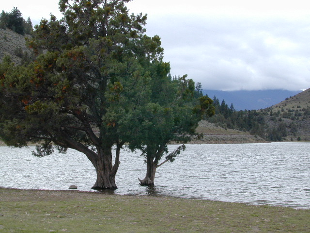
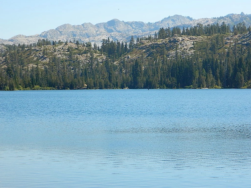
View East from Davis
Crocker Mountain @ Lake Davis, California

Wishon Reservoir

Lake Wishon – Sierra NF

Western Sierra Nevada Lake
Central Sierra California

lake wishon

East of Fresno, CA
East of Shaver Lake

EB from Fresno, Hwy 168 up to Shaver, w/ another 30+ miles on paved backroads
(Dinkey Creek Rd & then McKinley Grove Rd)
Way, way back, beyond Dinkey

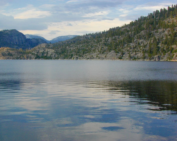
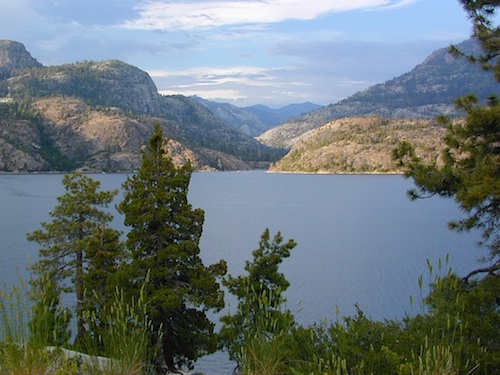
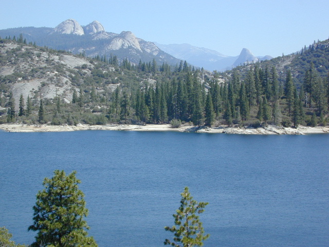
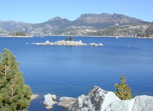
You gotta really wanna BE at places like this. Magical High Sierra mountains – California’s finest. Sheer beauty surrounds this lake w/ granite domes, granite cliffs, granite trails, forests, peaks and plenty hiking, fishing, water and boating. It does take planning (way ahead) to make it out here, cuz the area is only accessible during summer months. Typical of high altitude lakes, snow buries them annually and the roads get closed off to the public (usually NOV-MAY is winter). Some backcountry routes become snowmobiling trails during winter, and the Sierra National Forest has plenty of great snomo action (if snow is deep).

Wishon Lake, California
elevation: 6600′

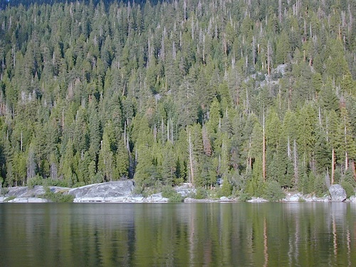
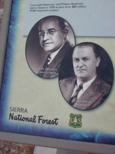
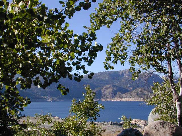
High Sierra Granite Reservoir with pines trees and rocky, granite shoreline. Not nearly as amazing as its cousin w/ the domes to the north, Courtright, Wishon has less granite & less wind, but more accessible backroads to explore, plus more car camping options. Both lakes are part of the Helms Creek hydro-electric project (dams) that make up the PG&E water infrastructure out in these parts – The Kings River Drainage System.

Backpacker trailheads, Woodchuck, Rancheria & Crown Valley all lead to dead end dirt roads – with nothing but solitude for miles & miles. Some might be passenger car accessible. Winter weather changes dirt road conditions (often).

The Kings River Geological Area is nearby, as well as both the John Muir Wilderness & Dinkey Lakes Wilderness.

Wishon Sierra Nevada

Large Reservoir with 8,000-10,000′ high sierra mountain peaks surrounding. Pine forests, views, fishing, camping, hiking in every direction, secluded dirt roads. Perfect high elevation trailheads, next to John Muir Wilderness. Great for backpackers!

All boating, but no waterski or jet ski.
One public boat ramp. Fishing boat rentals available.

WARNING: Water level changes daily.


lake area recreation:

Backpacking
Boating
Campground Camping
Dinkey Lakes Wilderness
Fishing
Hiking
Horse Pack Trips
John Muir Wilderness
Mountain Biking
Primitive Camping
Sierra National Forest
Snowmobiling the Sierras
Spanish Lake 4×4 Route

bridgewishon

Wishon is a summer vacation paradise for trout fishing, hiking, backpacking and back road exploring.

CLOSED FOR WINTER: NOV-APRIL = Snow closes the road for winter. For all you hardcore campers and hikers, you must call ahead to see if roads are open. It is rural forest, well traveled, but snow storms will shut everything down out here (for many months). Although, in some mild winters you can drive as far as Dinkey Creek on pavement. Gates are locked beyond that.

Central Sierra Wishon Lake Camping

LilyPad Campground @ Wishon Lake

Upper Kings Group Campground (by reservation only)

helpful numbers:

High Sierra Rangers Office: 559-855-5355
Pineridge and Kings River Ranger Districts
29688 Auberry Road, Prather, CA 93651

Dinkey Creek Ranger Station
(June thru September)
559-841-3404

Wishon Village RV
66500 McKinley Grove Road, Shaver Lake, CA 93664
559-865-5361

Engineering

Other places nearby


Black Rock Lake
Sierra Forest Road #11S12
Courtright Lake
Dusy Ershim 4×4 Trail

Dinkey Creek Campground
Dorabelle Campground
Gigantea Campground
McKinley Sequoia Grove
Sawmill Campground (dirt road)

Free, primitive or open camping abundant on the dirt backroads in Sierra National Forest. 4 wheel drive is not required for most routes, but a high clearance rig would help. Some gravel roads are graded annually and suitable for passenger cars – during summer months and only for about the first mile or two, off of the main road (pavement). Mud and snow are common on backroads!

Aspens @ Wishon, Western Sierra
nearby towns:
Fresno, CA
Huntington Lake
Lakeshore
Pine Flat
Prather
Shaver Lake


Sierra National Forest Map
Dinkey Lakes Map
Dinkey Lakes Map
John Muir Wilderness Trail Maps Sierra Nevada Topo Map

Wilderness Wishon California

wish on

NOT TO BE CONFUSED WITH:
Wishon in Giant Sequoia & Wishon @ Bass Lake

There is another popular camp spot called Wishon Camp – on the Western Divide Highway, much further south in the Sequoia National Forest.

Wishon Campground on the Tule River in the Giant Sequoia National Monument. Just up from Springville, CA

And also, the Bass Lake Wishon; there is another WISHON Campground at popular Bass Lake, South of Yosemite NP.

Mammoth Pool Reservoir

Mammoth Pool Lake, Sierra Nevada

San Joaquin River, Sierra National Forest

Mammoth Pool California

Awesome granite domes of the western Sierra, plus a scenic recreational lake that is only accessible half the year. Home to “Hells Half Acre” – Mammoth Pool Lake is one of the lesser known reservoirs in the western Sierra Nevada mountains. It’s kinda hard to get to although it is located on the border of Yosemite National Park. Area is totally surrounded by granite creeks, hiking trails, dirt roads and wilderness. This Mammoth Pool is an hours drive, way back behind Bass Lake (off Highway 41), and NOT located near Mammoth Lakes in the Eastern Sierra.

Camping just outside of Yosemite. Although the National Park boundary and trailheads are near by, accessing Yosemite Valley for day trips from this location will be quite tiresome and difficult, with long winding roads and over 2 hours drive one way. Better to camp near Bass Lake if you wanna be convenient to Yosemite NP.

Mammoth Pool
Sierra National Forest
3330′ elevation
123,000 acres

Sierra Vista Scenic Byway

(loop road, backcountry route closed in winter months)

Near the town of Oakhurst and Bass Lake California, get off the main highway and head over to the small town of North Fork. Take South Fork Road 225 (Italian Bar Rd) to Minarets Road (#81) also called Mammoth Road. Side trip paved Auberry Road (#222)  which skirts oak hills down to Redinger Lake Road. Hook up w/ Minarets Road (#81) that parallels the San Joaquin River on the forested ridge above, traveling 20 miles to  Numerous developed campgrounds and primitive camping sites off this route. Mammoth Pool is a signed right turn down Mammoth Pool Road, a steep road w/ a couple of campground near the lake shore and the only public boat launch is narrow, one at a time and it is not paved.

boatramp

The lake is closed to the public during May and the first half of June to allow migrating deer to swim across the reservoir. The reservoir is inaccessible following the first snowstorm, as the access road is not snowplowed.

rangerGrizzly Road, a paved route that leads deeper into the woods and connects over to BEASORE. Back on the main route (Road #81) on the far north end of the loop, a narrow, paved side route connects Clover Meadow Ranger Station and the impressive Granite Creek Campground. Plenty water and hiking trailheads that lead into Ansel Adams Wilderness and Yosemite National Park.

Back on the main route (Road #81) – the pavement becomes dirt in some sections and the route loops down to Beasore Road (#7), which traverses past meadows and dense forest, and heads back towards Bass Lake.Sierra Forest Map

backpacking, boating, camping
fishing, water ski, kayaking
sailing, swimming

backcountry side routes

NFS Campgrounds nearby –camp

hikers trailheadsMammoth Reservoir

  • Shake Flat
  • Logan Meadow
  • Hells Half Acre
  • South Fork
  • McCreary
  • Cassidy
  • Mammoth
  • Isberg
  • Fernandez
  • Norris
  • Jackass Lake

 towns nearby –


View Larger Map

Klamath Lakes

high water shastina

Northern California is the top third of the golden state, the area north of the San Francisco Bay Area and north of the Napa wine country. North of the Sierra Nevada mountains, North of Lake Tahoe. The waters we focus on here are in and around Klamath National Forest

fishLakes, rivers, creeks, waterfalls, waterfowl, fishing and fresh water are all plentiful in the Klamath region. Mount Shasta and the Klamath mountain range make up a portion of the Cascade range, that continue north to the Pacific Northwest. Klamath Falls and Klamath River originate up in Oregon, but the list below features the California regional lakes.
Lakes near Klamath California

Copco Lake
Iron Gate Reservoir
Indian Tom Lake
Sheepy Lake
Lower Klamath Lake Refuge
Tule Lake
Clear Lake Reservoir
Red Rock LakeklamathNF_final
Juanita Lake Campground

Bass Lake (Montague, CA)
Trout Lake (Montague, CA)
Steamboat Lake (Montague, CA)
Cedar Lake (Montague, CA)

Lake Shastina
Crater Lake National Park, Oregon
Kangaroo Lake Campground
Siskiyou Lake
Castle Lake
Medicine Lake Glass Flow Geologic Area
Meiss Lake
Orr Lake Campground

canoe   camp  hiker

NFSlogo

NorCal Recreation Maps:

Klamath National Forest Map

Klamath Forest Top Atlas

Lost Coast Map

Six Rivers National Forest Map


Klamath National Wild & Scenic River Access & Camp Sites

The dam projects of the Klamath River have always been a controversial subject for many local activists. The Klamath River Keeper web site currently warns us –

Spicer Reservoir

spicer terrain


Spicer Meadow Reservoir

Spicer Meadows, Spicer Reservoir, Rd #7N01
Spicer Lake, Stanislaus National Forest

lake elevation 6418′
227 surface acres

public boat ramp
hiking trail around lake
more lakes nearby

Ebbetts Pass Sierra Hwy 4

Ancient volcanic peaks mix with Sierra Nevada granite rock, pine forests and fresh, clear, clean mountain water! California, of course.

Stanislaus Forest Road #7N01 leads down from Highway 4 to this popular series of alpine lakes and reservoirs. Camping, fishing, hiking and mountain biking. Sailing, canoeing, kayaking, swimming, floating and fishing are also popular water activities.

Rules of the Reservoir:
10 mph speed limit on Western Arm.
No motorized boating in Eastern Arm.
Camp only in developed Campgrounds.

NFS
2 NFS Campgrounds at west end of lake:

  • Spicer Campground (60 sites)
  • Spicer Group Camp (75 people max)
  • Campgrounds only open June-September. Some campsites at the campground are wheelchair accessible.

    Additionally, Stanislaus River Campground w/ only 8 sites, is located just off the main access road #7N01, right near the river.

    spicer lake shore

    Spicer #7N01

    Numerous smaller lakes in the region make this a hot spot for summer vacations. Union and Utica Reservoirs (both with dirt road access) are good for kayaking and canoes, while power or sail boats prefer the larger Spicer Lake. Summit Lake and Elephant Rock Lake are perfect for quite picnics and day hikes. Trails (many unmarked) connect the lakes to each other. Area gets buried with snow in winter, so these roads are generally only open half the year.

    More reservoirs and lakes nearby:
    Highland Lakes
    Mosquito Lakes
    Lake Alpine, CA
    (all along Hwy 4)

    Stanislaus National Forest Map USDA
    Stanislaus National Forest Map USDA

    Nearby mountain towns:
    ARNOLD, CA
    BEAR VALLEY, CA
    Lake Alpine, CA

    Redinger Lake

    redinger lake

    Redinger Reservoir

    south of Yosemite NP, Bass Lake, CA

    dammed lake canyon NFS sierra river sierra mountains

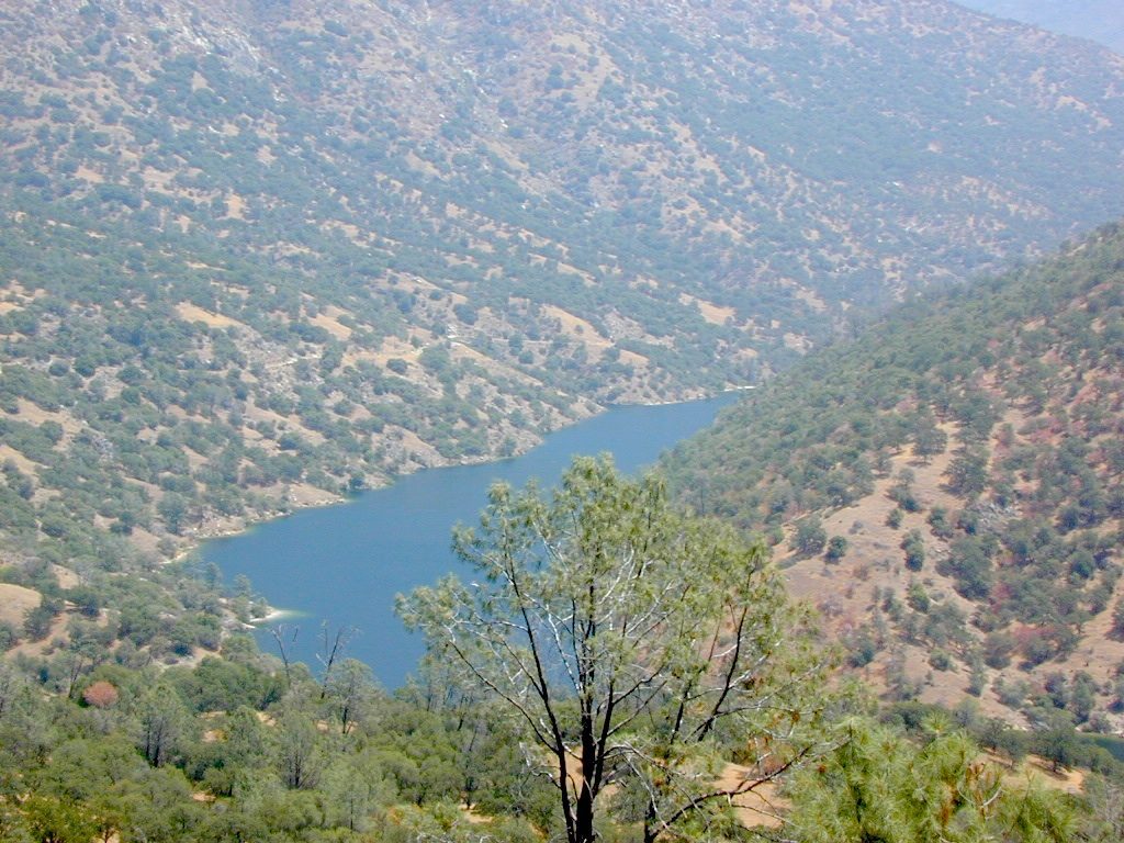
    Officially this lake is actually a reservoir, located in the low lands of the Sierra foothills country. Narrow, winding back roads, a way outta the way kinda spot.

    a long, narrow lake w/ steep hills, inside a tight canyon

    • canoe
    • fishing
    • hiking
    • jetski
    • kayak
    • waterski

    The San Joaquin River flows west, down from the highest granite peaks of the Sierra Nevada and into the Central Valley foothills. If you find your way off the main highway 41, exploring way back behind Bass Lake, CA – then you may consider this scenic loop to Redinger.

    off the beaten path

    Truthfully, this place is usually an afterthought, sorta near Yosemite National Park. Not exactly a top destination for tourists, but it is very accessible most anytime of the year due to low elevation.

    Spring wildflowers can be decent. Summers do get super hot here, so take that into consideration when planning your visit. Due to extreme wildfire danger, no campfires are allowed at any time.

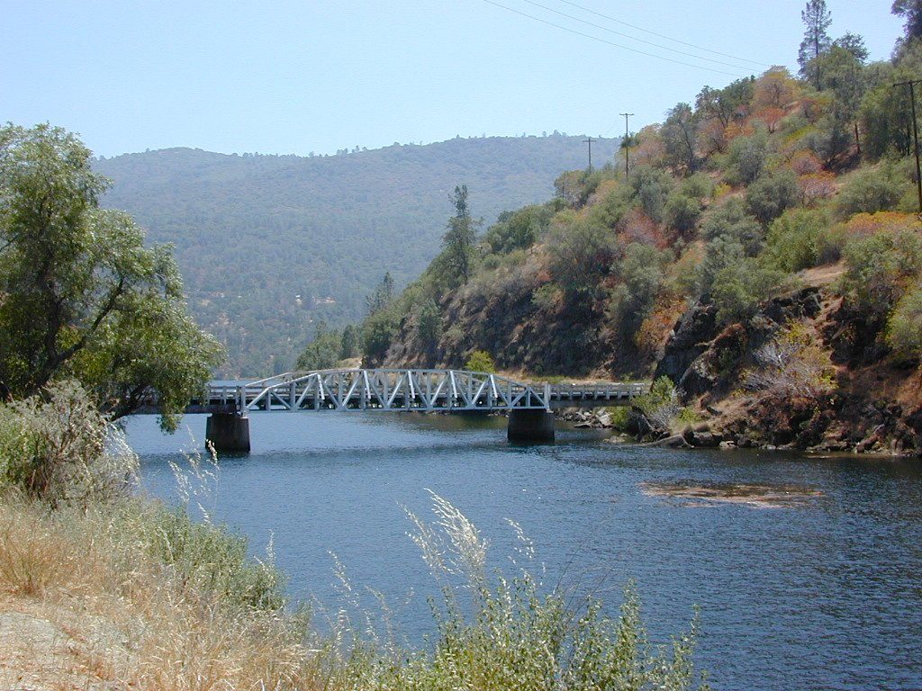
    redinger bridge

    Lake, Reservoir, or a good wide section of the San Joaquin River w/ hydro-electric dam.

    elev. 1000′

    open camp no fires boating fish

    public boat launch ramp
    Camping is restricted to a large open area near the dam. No fee is charged. No campfires are permitted. Services limited, no drinking water or garbage pick-up available. Nearest town 7 miles away.

    NORTH FORK, CA

    Redinger Lake Road (Rd# 235) can be found south of the town of North Fork, CA. The paved route down is long, steep and winding. At the bridge crossing, the road loops to Joe Basin Road, which connects to the small community of Auberry, CA

    Way up river, a dozen plus miles, is the utterly beautiful Mammoth Pool, only accessible half the year.

    A few miles down river from Redinger, around the horse shoe bend, another neighboring reservoir called Kerschoff Lake (elev 971′) has a developed campground.

    campSmalley Cove Campground NFS

    Contact:
    Bass Lake Ranger StationNFS
    559-877-2218

    https://www.fs.usda.gov/


    Sawmill Lake Sierra

    primitive camp spots

    Sawmill Lake, California


    N of Donner Pass, Sierra Nevada

    elevation 5800′Canyon Creek connects Lake Faucherie, Sawmill Lake and Bowman Reservoir in the Sierra, Tahoe National Forest. 20+ miles of backroad travel, off I-80.

    While many consider Faucherie to be the most beautiful scenic lake, Sawmill Lake just downstream a couple of miles is still quite attractive – with dense forests and a granite mountain backdrop. Sawmill is especially nice for those who like to primitive camp, ouside of developed campgrounds. Way off the interstate @ Hwy 20, tucked in way back behind Bowman Lake a few miles, you can find Sawmill Lake.

    Sawmill Lake California

    Fishing and camping, kayaking and canoeing are all popular recreation around this lake. A trailhead on the northend of the lake leads out to even more alpine lakes (a day hike “lake loop” or backpacking option). The Pacific Crest Trail is also routed nearby.

    No motorized boats or watercraft allowed. No boat ramps, no pavement, no picnic tables, no bathrooms, no fees.

    4×4 Lake
    Fishing Lake
    Free Camping Lake

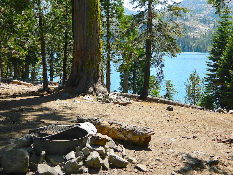
    The north shoreline is abundant with dispersed campsites: metal fire rings and a clearing only; no picnic tables, no toilets. Self sufficient campers only. Campfire permits, a water bucket and a shovel are required. During extreme fire restrictions campfires may not be allowed. Check with local rangers for up to date info.

    Tahoe National Forest
    Truckee Ranger Station
    530-587-3558

    National Forest Lake & Forest Lake Fishing Kayak lake hiking lake

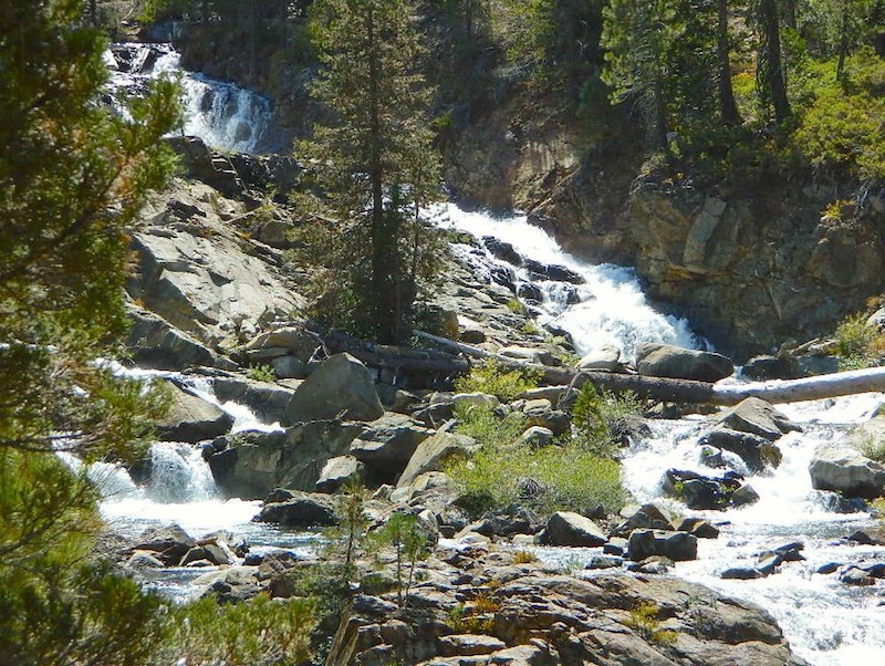
    Most campsites are drive up and park, while others closer to the shoreline have only walk-in access. Hauling your gear down hill won’t seem unthinkable once you’ve seen the lakeside views. There is even a camp below the dam, next to the waterfall.

    waterfallfromdam

    The main access Road #843-037 is very rocky and 4x4s love to frequent the area. The backroads here are best suite for truck travel, high clearance vehicles, off-roaders and SUVs. No small RVs or trailers. Passenger cars are not recommended. The access roads around the lake and up to the lake are dusty and rugged. The road below the dam is quite rough w/ rocks.

    For more driving details, please see entry on Canyon Creek Campground.

    road at dam
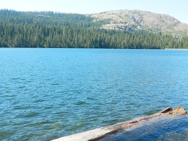
    The water at Sawmill Lake is crystal clear snowmelt. The lakes around here are managed by Nevada Irrigation District, so this is why there are no engines allowed on the lake. This canyon area closes to public entry during winter months (NOV-APRIL), due to deep snow.

    clear water

    San Diego Lake

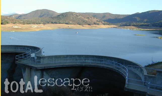
    sutherland Reservoir

    Lakes in San Diego CA
    San Diego County Lakes & Reservoirs

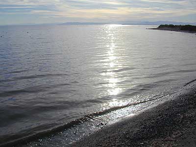
    Salton Sea, way out past Anza Borrego desert is indeed surreal, but nothing too spectacular

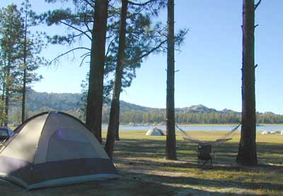
    Baja mountain camping at Laguna Hanson. Baja California Norte
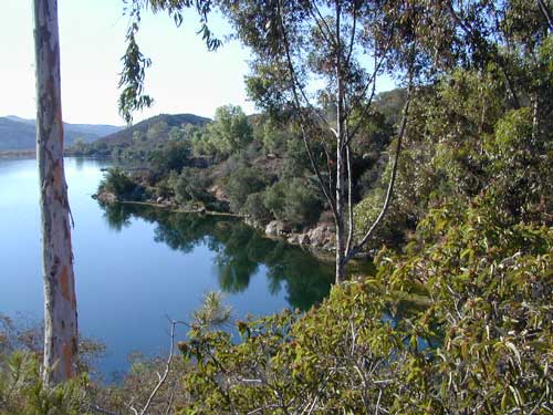
    Lake Dixon in North County San Diego, near Escondido, CA

    Barrett Lake, near Tecate CA
    w/ plenty of off-roading trails @ Corral Canyon OHV Park

        • south of Interstate 8
        • steep slopes & granite boulders
        • vegetation is chaparral & coastal sage
        • elevations range – 1,600′ – 3,681′
        • wood fires prohibited
        • portable stoves permitted
        • groups limit – 15 people
        • visitor permit required
    hikes NFS camping

    Looking for alpine lakes, dense forest and dramatic mountain scenery? 

    Of course you are. That’s why half the population relocated to California, to endlessly search for summer vacation destinations in alpine bliss and stay overnight next to a secluded mountain lake. You’ll need to leave SoCal to find these beauties, but they are out there if you have the time to travel and spend a week enjoying one. Midweek, the fish are all yours. Check out our huge California Lake List.