Tag Archives: day hiking

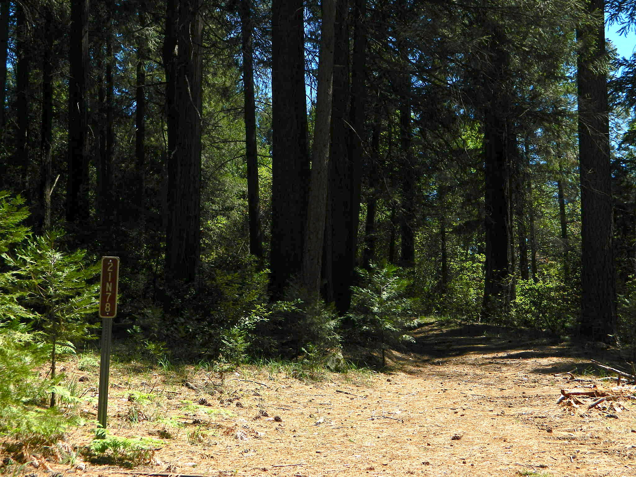
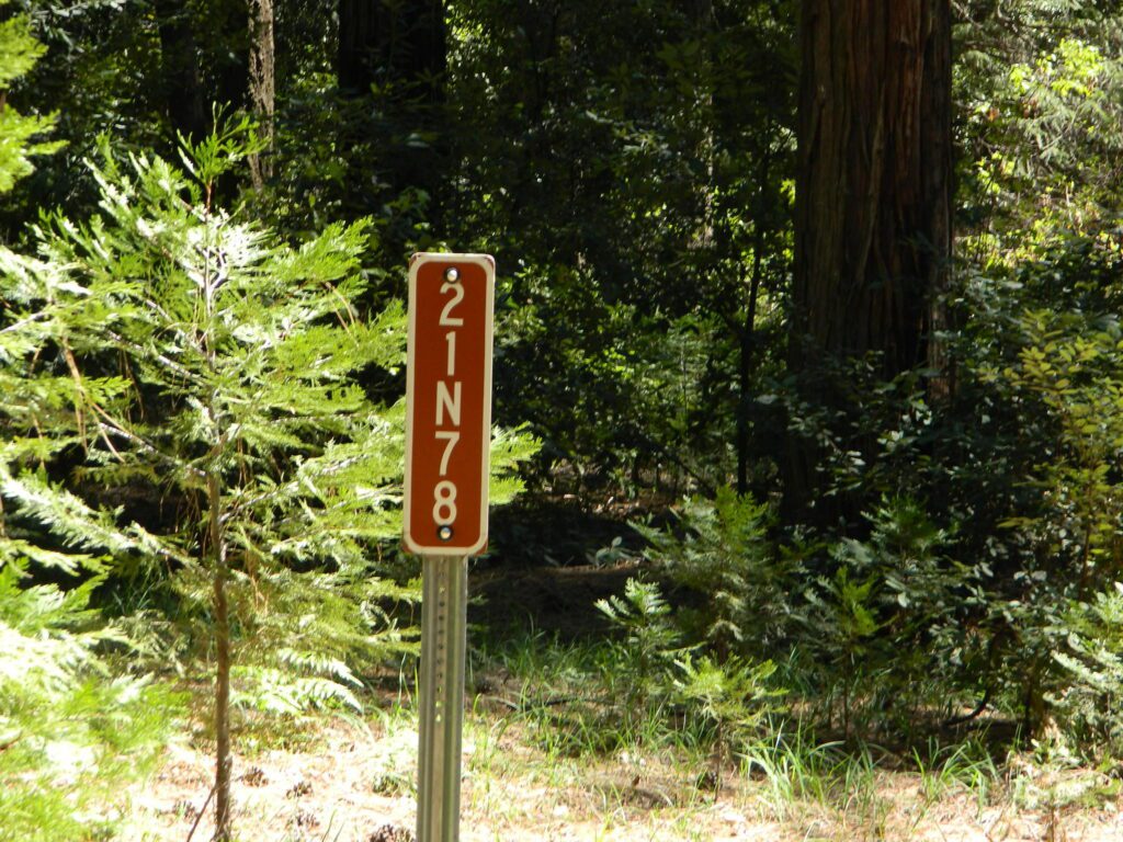
Zink Trail 21N78

Plumas National Forest
Trail #21N78

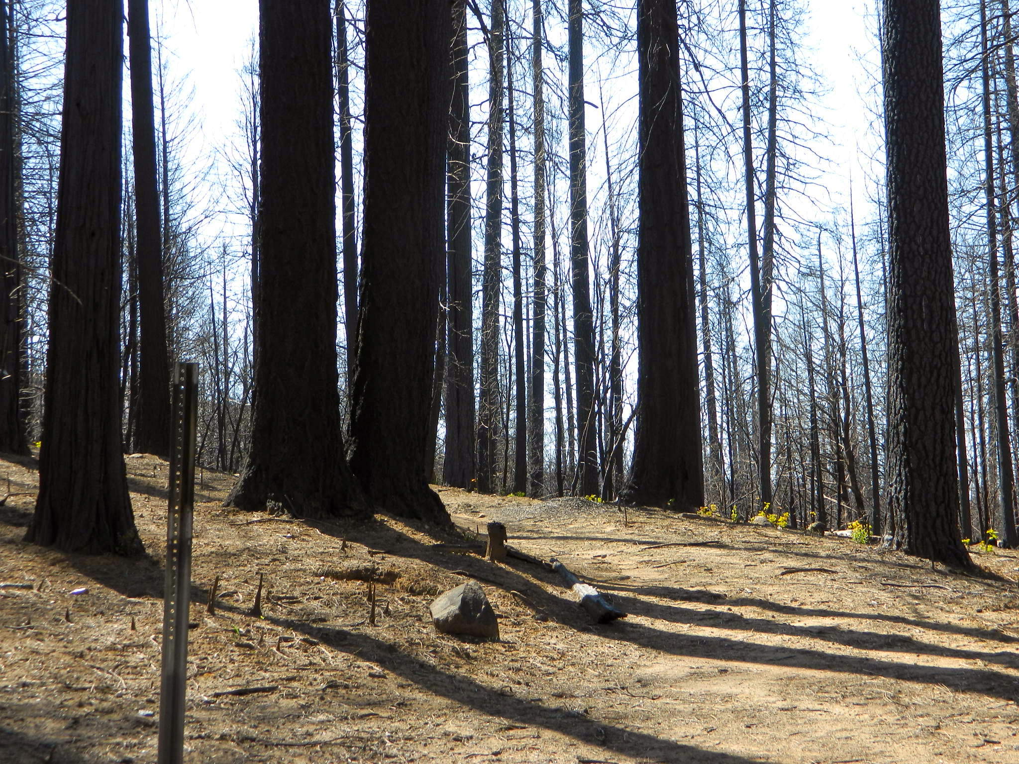
Before and After Photo

Straw Swipe

21N78before21N78after

Trailhead at Top of Zink Road in Berry Creek, California
This route is Straw Rd on GoogleMaps

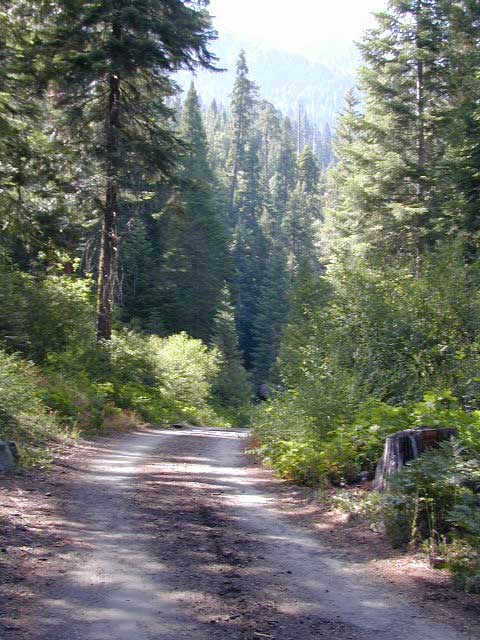
In summer 2017 this trail from Zink saddle to the Big Bald Rock was so dense and overgrown that I only made it half a mile, before I quit and turned back.

SEPT 8, 2020 #BearFire cleared it all in one night.

21N78straw

Moses Gulch Campground

road5 moses
Narrow Dirt Roads lead way back to Moses Gulch.


2021 – THIS CAMPGROUND IS CLOSED indefinitely,
due to the Castle Fire 2020

Moses Gulch Campground
Middle North Fork of Tule River

Northside of Western Divide Highway 190, near Springville, CA

Mountain Home State Forest
559-539-2321 summer
559-539-2855 winter

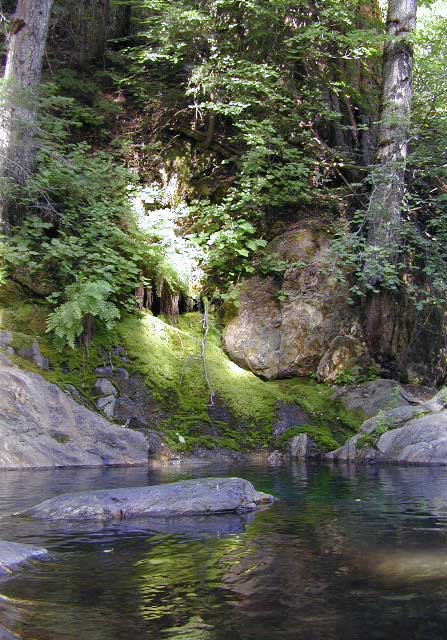
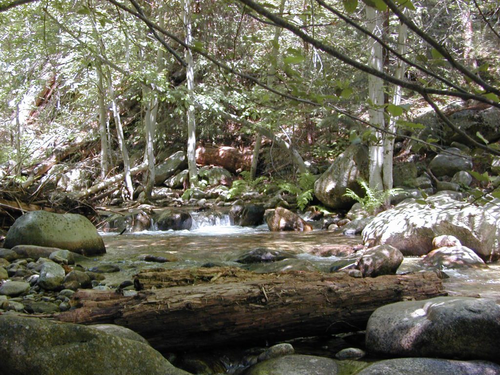
Located right on the middle north fork of the Tule River

Small developed campground on the back roads of Mountain Home State Forest. Campground closes seasonally, for winter snow.

Usually open: MAY-OCT

tuleday
Swimming Holes on Tule River

MOSES GULCH CAMPGROUND camping

Elevation: 5,500′
Number of Sites: 10 walk-in camp sites
Reservations: No
Sites Available: First come, First serve
Vehicle Accessibility: No RVs
Length of Stay: 14 Days
Water: River nearby
Toilet: Vault
Bear Boxes: Yes
Trailheads: Tule River; Moses Mountain; Golden Trout
Season: Closed for winter months
Fee: Yes
Operated By: National Forest Service
Closest Town: Springville, California

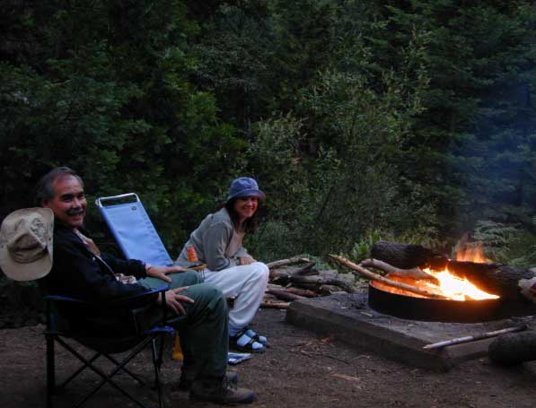
tent camping on river

Motorhome RV campers beware; no hook-ups, no paved roads. This is a primitive style camp, way back on a dirt road – not suitable for large vehicles.

NOTE $ This used to be FREE CAMPING, but they recently started charging an overnight fee for this campground.

spot6 moses

  • hikerbike
  • camp
  • fish
  • hike
  • picnic
  • stargaze

Golden Trout Wilderness is closeby. Plenty of hiking opportunities, great scenery and several Sequoia groves to visit. Mountain biking is allowed on the dirt roads. Single track trails may be overgrown or even off-limits, due to the fragile eco-system around Sequoia trees.

tule middle northfork
Tule River,  north fork of the middle Tule

SEQUOIA_mapBoth Moses Gulch and Hidden Falls are accessible via a long, narrow, paved mountain road; then a dirt road, leading 3 miles back to the remote reaches of the Wilderness edge.

western south sierra

North of Springville on Highway 190, turn left (north) on to J37, some call it Balch Park Road (Google Maps has it as Wagner Drive) and follow it up 3.5 miles to Bear Creek Road (#220). Drive 17.5 miles on curvy Bear Creek Road, turn right and follow signs to campground.

Groves
Hike Sequoia Groves


Silver Lake @ Carson

silkysilver

Silver Lake @ Carson Pass

(Alpine Co)

7250′ elev.
on Highway 88 near Carson Pass, California
El Dorado National Forest
near Kirkwood Ski Resort & the Bear River

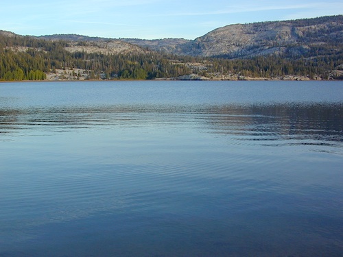
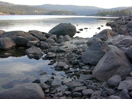
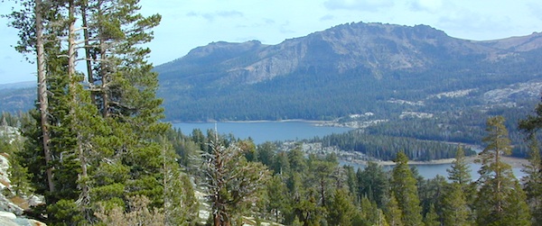
Large, granite, alpine lake in the Central Sierra Nevada Mountains. Abundant trout fishing, swimming, camping, boating, hiking, floating, kayaking, picnic sites, and high altitude backpacking trailheads. Shoreline fishing is just as good as by boat. Fishing boats can be rented at Kit Carson Lodge.
granitesilver

The high altitude location makes this a winter wonderland half the year w/ snow ski resorts nearby! It is an awesome summertime family vacation destination as well. Fishing is excellent through Autumn months. Campgrounds close up shop in October, generally when the snow starts. High Sierra – Deep snow pack means they will not reopen until May (at the earliest).

Carson is major Sierra Pass highway, but it closes for big snows, so always check CalTrans before you make the drive up the mountain. Carson Pass is California State Route 88, which connects the Gold Country (on the western slopes) to the South Lake Tahoe region (on the eastern border), near Nevada.

Check Current Highway Conditions for HWY 88
roads.dot.ca.gov
Cal Trans 800-427-7623

Silver Lake Day Use Areas

fishing lakes picnic grounds fishing lakes boat ramp

These areas listed below are operated by El Dorado Irrigation District and they do charge a day-use fee for many of the amenities provided. Boat Launch fee? Yep. Parking fee? Maybe. Picnic stop! How much? Eat fast!

  • Ferguson Point is located on the north shore of Silver Lake: 10 picnic tables & vault toilets.
  • Sandy Cove is on NW shore of Silver Lake: Wheel-chair access to lake edge, 5 picnic tables, piped water & vault toilets.
  • Oyster Creek Rest Area, up along Highway 88, 1 mile NE of Silver Lake: 10 picnic tables & vault toilets.
kaysresortsign

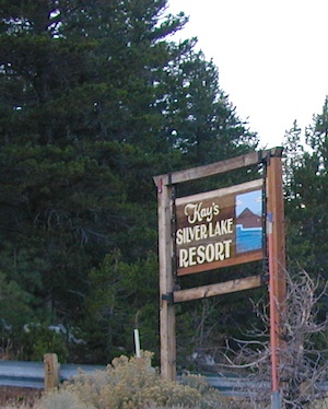
Historic Memories: Camp Minkalo, Camp Silverado & Kays Silver Lake Resort are all closed now.

Many small businesses come and go in the rural mountains of California. Throughout the decades, some do survive, but many change hands, change names, or have a difficult time ‘making it all work’ in the off-season. Always call ahead (real phone w/ real person) before you make a big drive to a remote location.

National Forest Campgrounds in this lake vicinity:

East Silver Lake Campground – 62 sites
West Silver Lake Campground – 42 sites
Kirkwood Lake Campground – 12 sites

campground RV campground

Silver Lake Campground NFS

• Elevation: 7200′
• Number of Sites: 62
• Vehicle Accessibility: RV 30′
• Campsite Reservations: Yes
• Camp Fee: Yes
• Toilet: Vault
• Length of Stay: 14 Days
• Season: June – October
• Trailheads: Hidden Lake, Sandy Cove

NFS
El Dorado National Forest
Amador Ranger District
26820 Silver Drive
Pioneer, CA 95666
209-295-4251
silver from highway

Older lodges, resorts, camps and cabins at Silver Lake were mainly built in the 1920s, while the oldest resort dates back to the mid 1800s. Wow, how cool is that! Much history in this mountain region w/ Kit Carson Emigrant Trail, all stories totally worth exploring.

Kit Carson Lodge
Rustic Silver Lake Cabins & Restaurant
kitcarsonlodge.com
209-258-8500

Historic Plasse’s Resort
One of the Oldest Camps in the USA
plassesresort.com
209-258-8814

Gold Miners

See all Silver Lakes in California

Santa Cruz Redwoods

hippytownway
BSA Camp Cutter

Santa Cruz Mountains & Santa Cruz Redwood Parks

overnight in the redwoods

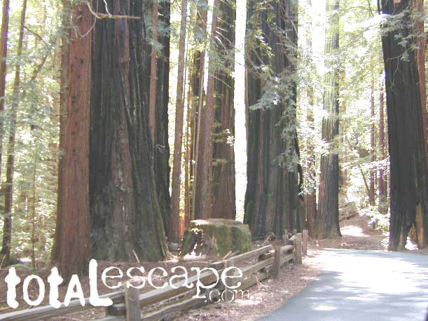
Camping out in the Santa Cruz mountains can be a magical experience. It is here where some city dweller first get a glimpse of the coastal giant trees. Towering above in several Redwood Parks, the hiking & camping are endless. Backpacking, day hiking, mountain biking and horseback riding are all popular activities in this region.

NOTE: There is no off-roading, 4×4, OHV trails in these coastal mountains, so it will be more peaceful. Peace and quiet, remember that?

redwoods Santa Cruz

Since this mountain range is in between the Santa Cruz coastline and THE CITY, San Francisco, and situated right next to the mega-city “Bay Area”, you can always expect a few tourists about and lots of locals out enjoying their backyard (at all times of the year).

Make campground or cabin reservations as far in advance as possible. Summers are the busiest months!

State Park hikes tent camp RV

Tent Cabins
Tent Cabins: Big Basin Cabins can be arranged at Big Basin State Park. Campgrounds can be found at all State Parks and some county parks. Private vacation homes are found nearby; a few small towns on Hwy 9 offer hotel accommodations. On the coastal side of this ‘mountain’ is the small community of Pescadero w/ Butano SP.

Small towns nearby offer lodging & dining:

Big Basin Redwoods Camping

Trinity Alps Camping

Trinity Alps Wilderness Campgrounds

Northern California Camping
Shasta Trinity National Forest

Trinity Alps Wilderness

camp


  • backpacking
  • camping
  • fishing spots
  • floating
  • hiking
  • hunting
  • kayaking
  • mountain biking
  • off-roading
  • soaking
  • swimming holes
  • tubing
  • stargazing

trinitydetail

campgrounds near Trinity trailheads –

camping Highway 3
(California State Route 3):

  • Horse Flat Campground, near Eagle Creek trailhead
  • Eagle Creek Campground @ Hwy, near Stoddard Lake & Eagle Creek trailhead
  • Goldfield Campground, near Boulder Creek trailhead
  • Big Flat Campground (via Coffee Creek Road #104)
  • Preacher Meadow Campground @ Hwy, near Swift Creek trailhead

camping Highway 299
(California State Route 299):

  • Ripstein Campground, near Canyon Creek trailhead
  • Hobo Gulch Campground, on Road #34N07
  • Hayden Flat Campground, near Big French Creek & Green Mountain
  • Denny Campground, near Jim Jam Ridge, East Fork & New River; Way out west
  • Groves Prairie Campground, near Grizzly Camp trailheadtrinityalps_lg
  • Happy Camp Campground, near Grizzly Camp trailhead

camping Highway 96
(California State Route 96):

  • Tish Tang Campground, near Tish Tang trailhead
  • Box Campground, near Red Cap Lake, Bear Hole & Mill Creek Lake
  • Klamath Riverside Campground @ Hwy, near Salmon Summit

camping Salmon River (Cecilville Road #1C02):

trinitysign
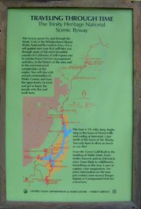
Trinity Scenic Byway (CA SR 3)

NorCal Topographic Maps – Trinity Map

Shasta Trinity National Forest Map

Pacific Crest Trail Map #6 (Shasta Cascades)

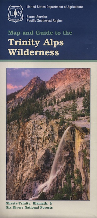
Trinity Alps Wilderness Map

outdoor destinations also nearby –


View Larger Map

Campground Lakes

RV California / Campground Lakes / Camping Lake

RV lake Camping

Wanna vacation near a lake this season? So does everyone else in California.

“Mountains” & “lakes” are the top camping destinations sought by most web surfers. Be prepared to search for your ultimate lake side camp. Summertime is prime time at all water sources, so make your reservations, or better yet – find a secluded lake all to yourself. (4×4 may be required).

boating marina camping RV Camp boating

Lakes area recreation & camping sites in California

granite domes


Sierra Nevada Lakes

San Diego Trails

San Diego Hiking – San Diego County Trails

horse hiking

Cedar Creek Falls
3 mi RT / moderate; off Hwy 78

From Santa Ysabel on Hwy. 78, drive E 6 mi, turn right on Pine Hills Rd.
1.50 mi., bear right on Eagle Peak Rd.
1.25 bear right again (signs point to Eagle Peak Ranch)
Drive 8 mi. (dirt & paved) to Saddleback, 4 way junction.
Park & hike the fire road downhill for 1.25 mi.
At the fork, bear left & continue into the Cedar Creek bed
Some rock scrambling down to the swimming hole

Hot Springs Mountain
5.5 miles RT/ strenuous (elevation gain/loss =1,250 feet)
Near Warner Springs, 10 miles northeast of Lake Henshaw; Off Highway 79

From Temecula Interstate 15, take Highway 79 East to Warner Springs
Drive up Los Coyotes’ Indian Reservations main road, past the intersection of Middle Fork Borrego Palm Canyon (6.1 miles past the entrance gate )
Turn left (west) and drive up the valley on a sandy road to reach a saddle above the valley 2.2 mi. farther
At Nelson’s Camp, on the left side of the road, Park at the camp
Begin hiking southwest up along a small tributary stream that flows north & west into Agua Caliente Creek.
Follow an old Jeep trail up, gaining more than 500 feet in just over a mile.
At the top, you’ll meet a better road that runs up the south slope to Hot Springs Mountain
Turn left (west) on this road and climb another 1.6 miles along the ridge line to the tower.
Pass through dense forests of black oak, Coulter pine and white fir, and across meadows dotted in late spring with wildflowers.
Lookout tower, dilapidated and seemingly on its last leg, sits on the west shoulder of the mountain.
Go a bit higher on the ridge by following a faint trail through thick brush and around boulders to the true summit. A flat concrete platform caps the summit block.
option – Seven-mile dirt road going up the mountain’s southern slope (drive, hike or mountain bike)

Maps Mountains / San Diego Maps

see also – San Diego Anza Borrego 4×4