Tag Archives: dispersed camping

Lassen Forest Roads

Lassen Backroads

Lassen National Forest roads and trailheads, surrounding Lassen NP

Lassen Forest

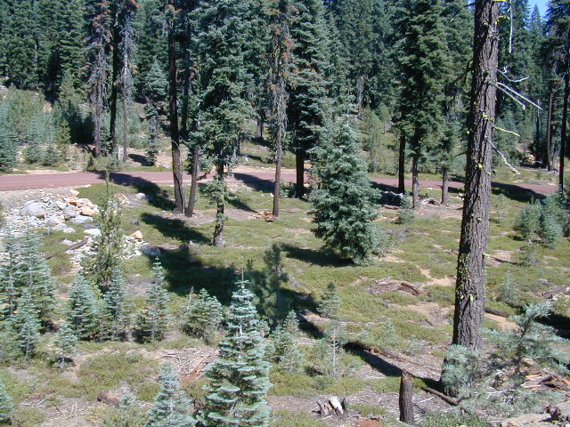
Lassen National Park is completely encompassed by National Forest land with dirt roads, off road trails, serene lakes, secluded camp sites, hiking trailheads and wilderness access

California State Route 89 (highway 89) runs north/south thru the middle of the park and closes for months due to winter snow.

California State Route 36 (highway 36) runs east/west on the south side of the National Park, connecting Red Bluff to Susanville, CA

California State Route 44 (highway 44) runs east/west on the north side of the National Park, connecting Redding to Susanville, CA

camp

East of Lassen National Park

Lassen Forest Road #10
Echo Lake, Silver Lake, Caribou Lake. Campgrounds, trailheads, backpacking, day hikes, parking, equestrian.

Crater Lake on the north side of Hwy 44

Lassen Forest Road #318
Juniper Lake Road (aka Chester Juniper Lake Rd)
N of Chester, CA
paved first 5 miles, then becomes graded dirt road for another 5.

Benner Creek runs along the first half of this route w/ Banner Creek Campground: elevation 5562′ / 9 camp sites / open May-Nov

Juniper Lake at end of road w/ NPS campground
elevation 6792′ / 18 camp sites / open June-Sept

Lassen Forest Road #312
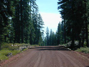
Warner Valley Road (aka Drakesbad Road)
N of Chester, CA
10 miles long, paved most of the way, then becomes graded dirt road out to Drakesbad meadow.

Lassen Forest Road #311
W of Chester, CA

Wilson Lake Road, connects Hwy 36 to Road #312
Domingo Springs Campground: elevation 5060′ / 18 camp sites / open May-Nov

fish

Lassen Road #29N18
W of Chester, CA
Loop route off Forest Road #311 w/ North Fork of the Feather River, leading to Elizabeth Lake trailhead

Lassen Road #29N19
W of Chester, CA
Graded dirt road w/easy access. Connects Forest Road #311 to highway, paralleling Hwy 36. Lost Creek runs along this route w/ Willow Springs Campground: elevation 5100′ / 14 camp sites / open May-Nov

West of Lassen National Park

Lassen Forest Road #17
W of Lassen NP
North-South dirt road that connects highway 36 to highway 44.

Heart Lake trailhead
At the south end on Hwy 36 is Battle Creek Campground: elevation 4800′ / 50 camp sites / open April-Oct

Lassen Forest Road #29N22
Mineral Road connects Hwy 89 to Viola on Hwy 44
McGowan Lake Winter Recreation Area at South entrance of Lassen National Park
nlassen
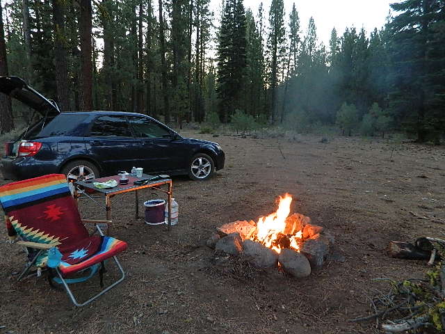
Camping North Lassen

North of Lassen National Park

Lassen Forest Road #32N13
Lassen Forest Road #32N22 (PCT crosses this route)
Twin Bridges networks dirt roads @ Hat Creek.
near Old Station Visitors Center (junction Hwy 89 & 44).

Hat Creek and Cave Campground on highway 89, Big Pine Campground off highway; Numerous dirt back roads for dispersed camping, near the viewpoint on highway 44

Road #32N20
Road #32N56 – road just south of Subway Cave near Old Station, off SR Hwy 44 lead to small Baker Lake.

Road #32N92Y side route leading from Hwy 44 to Road #32N21 along Butte Creek.
Butte Lake Ranger Station and Butte Lake Campground: elevation 5600′ / 20 camp sites /open May-Oct

Road #32N09 connects Forest Road #10 to Widow Lake trailhead and Butte Lake.
Road #32N60 is Bogart Winter Recreation Area, at Hwy 44

Hat Creek Lassen Road #18 runs north/south along Hat Creek Rim. Dirt road parallels Hat Creek Valley on the east side of Hwy 89
Road #22 connects Hwy 89 to Hat Creek Rim. A popular hang glider launch area after the University of California Radio Astronomy Observatory, then the road continues eastbound to cross Pittville Rd #111 and ends up at Little Valley

Lassen NF Road #111 is Pittville Rd, runs north/south paralleling Hat Creek Rim to the east side. This 30 mile long route connects Hwy 44 to Pitt River at Hwy 299 near Fall River Mills, CA

LASSEN MAPS
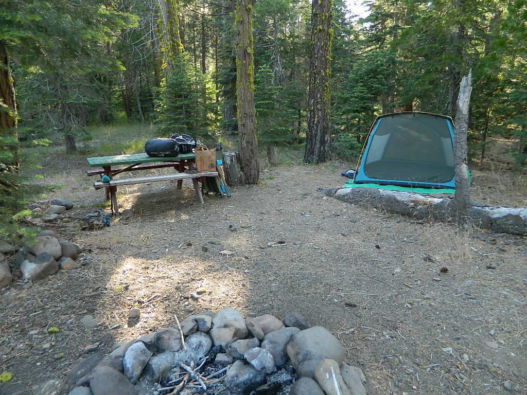
Lassen Camping for Free, Mill Creek @ 172
Lassen Camping for Free on Mill Creek

campfire

see also – Thousand Lakes Wilderness & Lassen Lakes

Big Meadow Sequoia

Big Meadow Kern

Big Meadow – Kern Plateau

Sherman’s Pass, Sequoia National Forest
Big Meadow borders Dome Land Wilderness
in the Southern Sierra Nevada mountains

horse camping National Forest Camps Mountain Biking Kern Hikes Trailer access camping

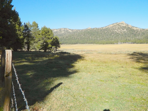
There are many large and gorgeous meadows inside Sequoia National Forest, but none compare in ‘grandeur’ to this southern Sierra public pasture. BIG MEADOW KERN

Find your way north of Kernville and the river really comes into view. Up close, right there! Stop, get out of the vehicle for a stretch break and breathe; take it all in. This is only the start of the adventure. Gorgeous Big Meadow is located up on the Kern Plateau, 3000′ above the river on the eastern ridges. Only accessible half the year due to snow, this meadow is a must see for those exploring the eastern side of the Kern River.

22s05 sherman pass

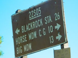
Sherman’s Pass Road #22S05 is a hard right turn after the Johnsondale Bridge. It is well signed and still easy to miss. Climb out of the dryness and into the dense forests and meadows of higher altitudes. Driving this southern Sierra-crossing route, Sherman’s Pass Rd. will require all of your concentration. Steep, curvy road without guard rails. Plus epic, scenic views (NOT to die for).

At this point – Rock slides, snow gates and road closure are typical in winter months. Check w/ rangers in Kernville about road conditions (before you head up this way).

Sequoia National Forest National Forest Camps
Kernville Ranger Station
105 Whitnet Rd
Kernville CA
760-376-3781

While traveling eastbound on Sherman’s Pass Road, the intersection to look for is

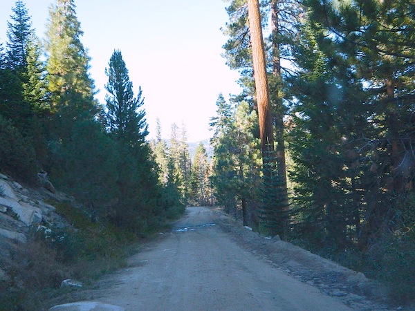
Big Meadow Road #22S12


The partially paved road will lead south a few miles, then becomes GRADED DIRT and ventures another 15+ miles – way, way out into dead-end territories. Not one road connects down to Lake Isabella!

Spur roads (all one lane, dirt roads) lead out to various places like – Cherry Hill, Big Meadow, Horse Meadow Campground, Dome Land Wilderness Trailheads, Manter Meadow, Salmon Creek Falls, Cannel Meadows, dozens of trails and spurs. Plenty of primitive camping back in these forest areas. A high clearance rig may be required the further back you go. Mud and snow are quite common in spring and fall.

Camping California Back Roads
Extra Large Camp Sites

BIG MEADOW is a favorite camp area among –
backpackers (trailheads)
equestrian (horse campers)
hunters
mountain bikers
off-road campers

westsidedrive
westside drive: ample parking and camping for horse trailers

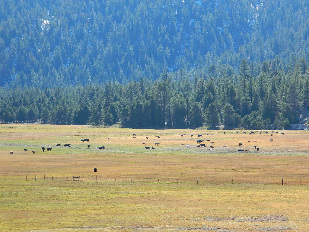
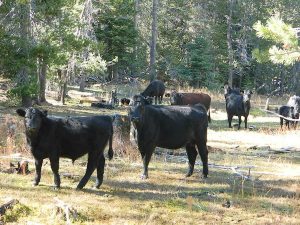
cattlecowsbeefy

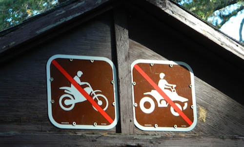
no 'froading on meadows
no ‘froading on meadows

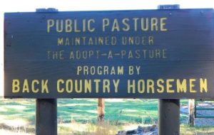
publicpasture

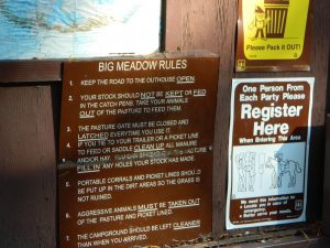
Big Meadow Rules

Back Loop Road
Back Loop Road, around the Big Meadow. Narrow & muddy

fencedmeadow

Or perhaps this is not the Big Meadow near Sequoia that you are seeking. National Parks The scenic, giant, public horse pasture listed above is not to be confused with #14S11 Big Meadows Road, also in National Forest land, located in between popular Sequoia National Park and Kings Canyon. (100 miles north of here)

4×4 Off Roading


Off Roading Moab Utah

Originally uploaded by danamight


4×4 offroad

When people hear the phrase “off road” a hundred things can come to mind. Granola types envision rednecks, guns & beer cans tearing up the wilderness; while teen boys may like dirt bikes or motocross races; your co-worker digs the rock crawling rigs (on TV); your lesbian pals like to do desert & ghost town exploring in their Jeep & a million families like to camp out with RV & toys in tow. The quads, the sand rails, the rock crawling machines, the custom built buggies. Trophy trucks, rally racing Subies, 4WD camper vans, dirt bikes, the standard stock SUV, some w/ 4-wheel drive and who can forget the ever-freaking-popular jeaps. Sunday drivers sightseeing or hard core dare devil racers can be found in the realm of off-road: Off pavement.

They are ALL off roaders! And they are all unique, custom & no two created equal. There is certainty of it & the passionate fans will tell you. The off roading interest has gained popularity as more & more recreation vehicles become available to the main stream market. And TV shows promote these awesome rigs, the sport of dirt racing, rock crawling & the fantastic terrain. (And if you still watch television, that will soon change!)

Baby boomers seek retirement vacations: compact 4WD camper vans, or smaller RVs capable of trailering an off-road machine; Fathers look for ways to entertain family out of doors, or escape on solo trips (for sanity sake). The off-road sport and interest has literally exploded over the past 20 years w/ media, hobby, competitions & after market products – along with the rising gas & tire prices.

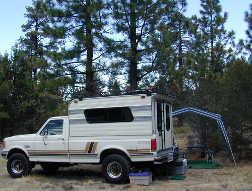
4x4 Ford Camper at a Big Bear Campout
4×4 Ford Camper at a Big Bear Campout

California dirt road heaven

Wheeling

California Back Roads
WHERE TO START?

Plan better trips, learn to really read a topographic map, depart for your trip over-prepared and find new, amazing destinations all over California. Use Total Escape often and get a bumper sticker for your rig!

Many folks drive dirt roads just to get to a trailhead and go hiking, mountain biking or rock climbing. Many backpackers trailheads are indeed located miles off pavement on forest dirt roads.

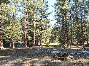
Some outdoor enthusiasts crave seclusion: peace and quite, away from city life, city folks, all noise… well away from the crowds. Preferring to camp outside of developed campgrounds, which means free camping (mostly on dirt roads). Campfire permits are always required. Many excellent, hidden camp sites can be found on rugged, unpaved back roads – some requiring 4 wheel drive, others not.

Gear Heads: those who value ‘vehicle time’ over ‘real nature’ will literally SIT inside their rigs (almost all day) – enjoying scenery from a safe distance. Picnic spot, viewpoint, yes, but rarely ever seeking out a hike, or a waterfall. Should a break-down occur, these dedicated guys will have their heads under the hoods or crawling underneath, for hours if needbe. Always be prepared with food in the cooler.

Tent Campers
And believe it or not, some off-roaders will not even tent camp! They do not sleep on the ground. They prefer a local lodge in the nearest small town or they could own a luxury RV (towing a trailer w/ the overbuilt Jeep). Talk about gas guzlers.

Now, where are those green buggies?

Forest Roads
Backcountry routes may be signed – high clearance needed, or not. Black diamond, double diamond trail. Yikes 4×4 required, what! Did we miss a sign or take a wrong turn?

SIGNS are not always reliable on the back roads.
Small Signs: get shot at, run over, blown over and washed away with erosion
… so best have a hard copy map (at all times).

California dirt road heaven

In Trinity, locals have been known to remove forest road signs to confuse tourists and prevent traffic in certain directions. I can’t imagine why. Cough, cough, Hyampom!

PVT – private property

This brings us to private ROADS & LAND. Just because a dirt road is located in a forest or rural region doesn’t mean it is open to the public. Generally private lands are well marked w/ ‘No Trespassing’ notices, some fenced and gated. In Baja and in ranching areas in general, public access may be allowed to pass through. Inquire at a local ranger stations for the area you wish to explore.

Do Not Litter

Litter removal 101 should be the norm; Don’t Trash California! Teach your children well. Respect the land and always Tread Lightly! Find more about ECO – CAMPING

TreadLightly

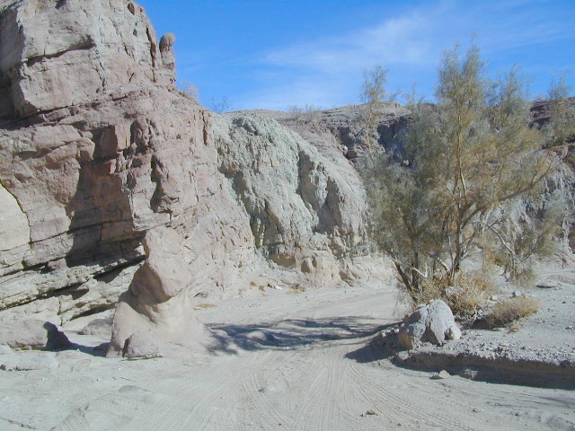
Quatal Canyon Red Dirt Road

smoketreewashes

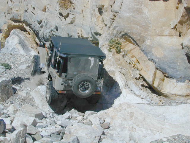
jeepinpanamint

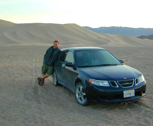
Dumont Dunes OHV Desert Death Valley
Dumont Dunes OHV / Desert Death Valley Xmas Trip