Tag Archives: Eastern Sierra

Hoover Wilderness

Dunderberg Meadow

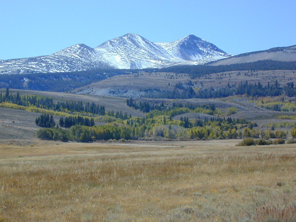
 Dunderberg Peak capped with snow about half the year @ 12,374′ elevation. Dunderberg Meadow is a side route off Green Creek Rd. Upper Summer Meadow Rd is another side route off Green Creek Rd.

Eastern Sierra Hoover Wilderness

East Yosemite National Park

48,601 acres
10 miles South of Bridgeport, CA
Toiyabe National Forest Autumn Eastern Sierrasand Inyo National Forest
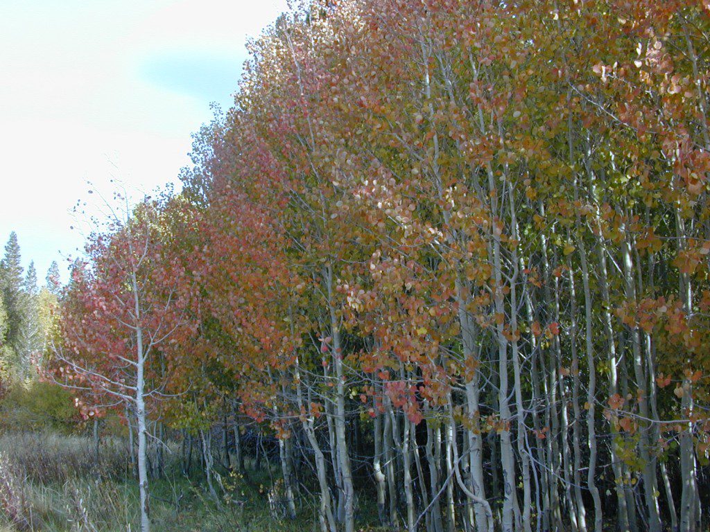
Hoover Wilderness spans  the mountain ranges from Sonora Pass to Tioga Pass, with high elevation peaks ranging from 10,000 to over 12,000′ elevation. Emigrant Wilderness lies to the west of Hoover, with Yosemite National Park & Inyo National Forest to the south.

  • Twenty Lakes Basin
  • Virginia Pass
  • Virginia Lakes Basin
  • Lundy Pass
  • Bond Pass
  • Hoover Lakes
  • Return Creek
  • Little Walker River
  • West Walker River
  • Matterhorn Peak – 12,264′ elev

towns nearby –

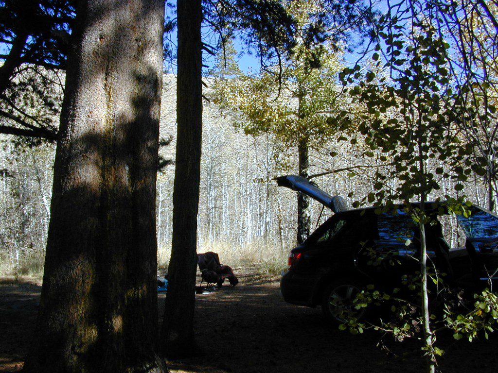
Aspen groves in the Eastern Sierra are some of the best autumn colors in the whole state. Fall car camping includes nighttime temps in the teens w/ fishing and hunting nearby.

PCT trails, Eastern SierraPacific Crest Trail passes partially through Hoover Wilderness inside  Yosemite National Park.

Hoover trails are not all dirt road access, but most are. There are 2 major trail heads along Highway 120 inside Yosemite NP, which lead north to Hoover.

Hoover trailheads –

California SR Highway 120 (Yosemite NP):

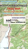
off US Highway 395:Hoover Trail Map

Twin Lakes area:

  • Robinson Creek
  • Horse Creek
  • Cattle Creek
  • Tamarack Lake
  • Buckeye

Little Walker River area:

  • Bort Canyon
  • Emma Lake
  • Molybdenite Creek

California SR Highway 108 (Sonora Pass):

hoover wilderness map

Green Creek Road is a signed dirt road on US Highway 395, near Virginia Creek Settlement and across from the Bodie ghost town turn off. Green Creek Campground  (a developed NFS campground) also has trailhead parking for Hoover hiking trails. Primitive free camp site can be found all along this major graded dirt road.

Many developed campgrounds in the surrounding areas – Saddlebag, Lundy, Virginia, Green Creek, Twin Lakes, Buckeye, Obsidian. Off Sonora Pass, Levitt Lake usually gets the most snow depth around and is only acessible in summer months. Super remote primitive camping for those with a high clearance vehicle.

FRee Camping Green Creek


Keough Hot Springs

Keough Hot Ditch
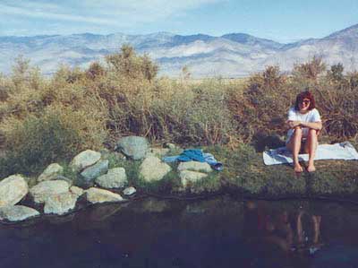
HWY 395. Bishop. First Keough visit w/ Ted, 1990

Keough Hot Springs

Keough Hot Tubs, Eastern Sierra

Keough Hot Ditch

7 miles North of Big Pine & 7 miles South of Bishop;
on the west side of Hwy. 395

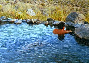
Keough California is comprised of two soaking spots – a small resort and the primitive tubs below. An Eastern Sierra rustic Hot Springs Resort w/ campground, tent cabins rentals and nice landscaping. Big, clean hot pools at the top of the road. Entrance fees, trees and vegetation, next to the mountains. Seniors and families frequent this place. Swimsuits are required.

Keough’s Hot Springs Resort
800 Keough Hot Springs Road
Bishop, CA 93514
760-872-4670

Keough Hot Springs

The Ditch

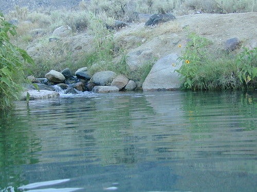
Below the resort and above the highway, are some primitive, free hot pools that require dirt road driving. Public nudity is common. Open 24/7 w/ several brush lined pools on the eastern slopes of the Sierra Nevada Mountains overlooking the high desert of the Owens Valley. Quite impressive for being just off the highway. Buzzing, huge powerlines overhead are one of the only drawbacks of this soak spot. This place can get crowded at certain times.

Posted: No overnight camping allowed at these lower hot springs.

Soaking at Sunrise

US Highway 395:
Look for the turn off in between Bishop and Big Pine, California. Take the Keough Hot Springs Road up hill until the second dirt road, turn right and the primitive hot springs will be on the left, just beyond the cold stream crossing. Sometimes a high clearance might be needed. Cars should park and walk the if unsure of the terrain. Do not park right next to the soaking tub, as the ground is too weak and vehicles have been known to slide in, unexpectedly. No kidding!

Plenty great camping all around the Eastern Sierra region. For campsites with cooler temps, higher elevation, pine trees & creeks: Head for the Glacier Lodge Rd – Inyo Road #9S21, West outta Big Pine.

Adventurous 4x4s can try super remote Coyote Flat, a super high elevation pinyon plateau that overlooks Bishop. Also Highway 168 W outta Bishop will lead to primitive camping areas like The Buttermilks, a rock climbing area. Further up the hill is alpine lake and creek camping in aspen groves.

Many developed Campgrounds in the region.


View Keough Hot Springs in a larger map
also nearby:

Inyo Forest Maps

Eastern Sierra Mountains

Eastern Sierra Mountains / Eastern Sierras California

mount tom

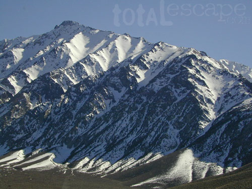
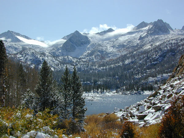
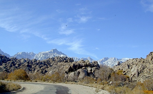
Wilderness seeker John Muir called the Eastern Sierra, the range of light. It’s desery & drastic. Tons of granite & wild-ness. The impressive, tallest peak in the lower 48, Mount Whitney towers at elevation 14888′ over the Owens River Valley. Death Valley meets mountains. Ancient volcanoes & fresh granite. Creeks are alive throughout summer. Alpine lake hikes & their wild flowers are incredible. Horseback trails, rentals, pack trips are very popular. Total Escape even list high country Inyo 4×4 routes, that overlook Bishop.

Eastern Sierra forest & parks –
Inyo National Forest
Toiyabe National Forest – north (Carson)
Toiyabe National Forest – south (Bridgeport)

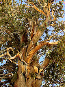
Ancient Bristlecone Pine Forest

Ancient Bristlecones

inyo maps

Eastern Sierra maps & trails –

Eastern Sierra towns –
Aspendell, Big Pine, Bishop, Crowley Lake, June Lake, Lee Vining, Lone Pine, Mammoth, Olancha, Toms Place

south lake bishop

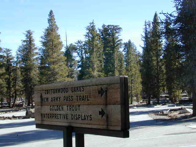
cottonwood lakes

Tuttle Creek Campground

Tuttle Way

There she sits, above Lone Pine California, right next to the High Sierra. Above the Alabama Hills….. at the base of Whitney, on an alluvial fan overlooking the Owens Valley & US Hwy 395.

Tuttle Creek Campground is perfect stop for RVers traveling the Eastern Sierra, beginner mountain bikers needing to explore & test their skills, or the avid backpackers waiting to acclimate & get a good nights rest in reasonable temperatures, before attempting the tallest Mount Whitney.

Tuttle Creek is a BLM Campground w/ picnic tables, fire rings or BBQs. Awesome creek camping at the base of Mount Whitney. Hear the water rushing over the boulders; soothing for bedtime or stargazing. The fishing is decent. Wildflowers like indian paintbrush & lupine can be found here in spring and summer, in the high desert sage lands of the Eastern Sierra.

• Elevation: 5120′
• Number of Sites: 85
• Vehicle Accessibility: RVs okay
• Camp Fee: No
• Campsites Reservation: No
• Length of Stay: 14 Days
• Season: March – October
• Trailheads: John Muir Wilderness

From Lone Pine CA, head West 3 miles on Whitney Portal Rd, turn LEFT on Horseshoe Meadow Road, within 2 miles, turn right on a dirt road that leads to the campground.

Tuttle Creek flows past campground; No drinking water.
Pit toilets; Some shade.

BLM Lone Pine
760-872-4881

LONE PINE CA

HINT: On the dirt back roads, on the slopes of the Eastern Sierra, between Lone Pine & Bishop, you can find & fishing holes & primitive camps (free camping) on any numerous of creeks; some you can park so close that you don’t have to leave your vehicle to fish. You may need a high clearance vehicle to reach some.